Menagerie Ponds
Lake, Pool, Pond, Freshwater Marsh in Yorkshire
England
Menagerie Ponds

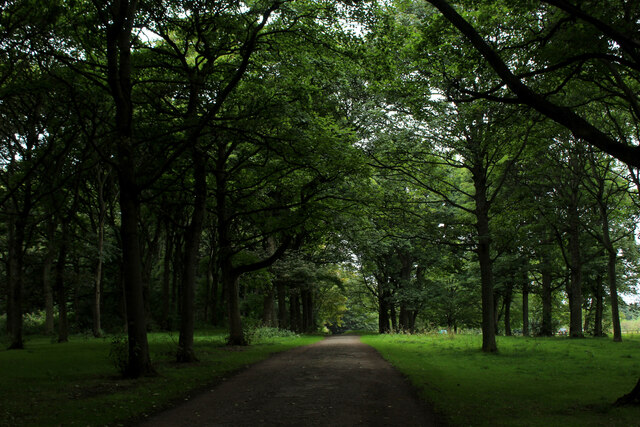
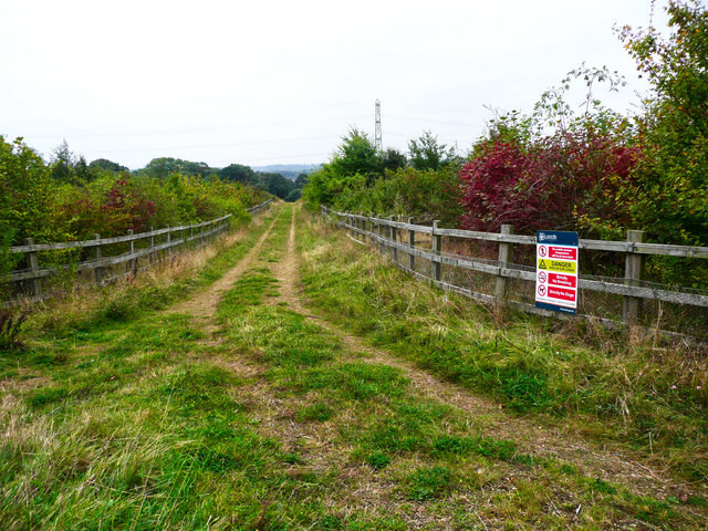
Menagerie Ponds is a picturesque freshwater ecosystem located in Yorkshire, England. Nestled amidst rolling hills and lush greenery, this natural wonder encompasses a diverse range of aquatic habitats, including a lake, pool, pond, and freshwater marsh.
The centerpiece of Menagerie Ponds is the expansive lake, which covers a significant portion of the area. With its crystal-clear waters and sandy shores, the lake provides an ideal habitat for a myriad of aquatic plants and animals. Visitors can often spot various species of fish, including carp, perch, and trout, gliding through the tranquil waters. The lake also attracts a rich assortment of birdlife, such as herons, swans, and ducks, making it a popular spot for birdwatching enthusiasts.
Adjacent to the lake is a smaller pool, characterized by its shallow depth and calm, still waters. This pool serves as a breeding ground for numerous amphibians, including frogs and newts. The surrounding vegetation provides ample cover and food sources for these creatures, ensuring their survival and successful reproduction.
A short distance away from the lake and pool, visitors will find a charming pond, which serves as a haven for various plant species. Lush water lilies, reeds, and rushes adorn the surface, creating a serene and visually appealing environment. This pond is also home to numerous insects, such as dragonflies and water beetles, which thrive in the stagnant waters.
Finally, Menagerie Ponds features a freshwater marsh, characterized by its wet, marshy terrain and abundant plant life. This marsh serves as a vital habitat for a wide range of wildlife, including rare species of birds, amphibians, and plants. It acts as a natural filter, purifying the water that flows into the lake, pool, and pond, ensuring the overall health and sustainability of the entire ecosystem.
Overall, Menagerie Ponds is a stunning natural attraction that offers visitors a glimpse into the diverse and intricate world of freshwater ecosystems. With its array
If you have any feedback on the listing, please let us know in the comments section below.
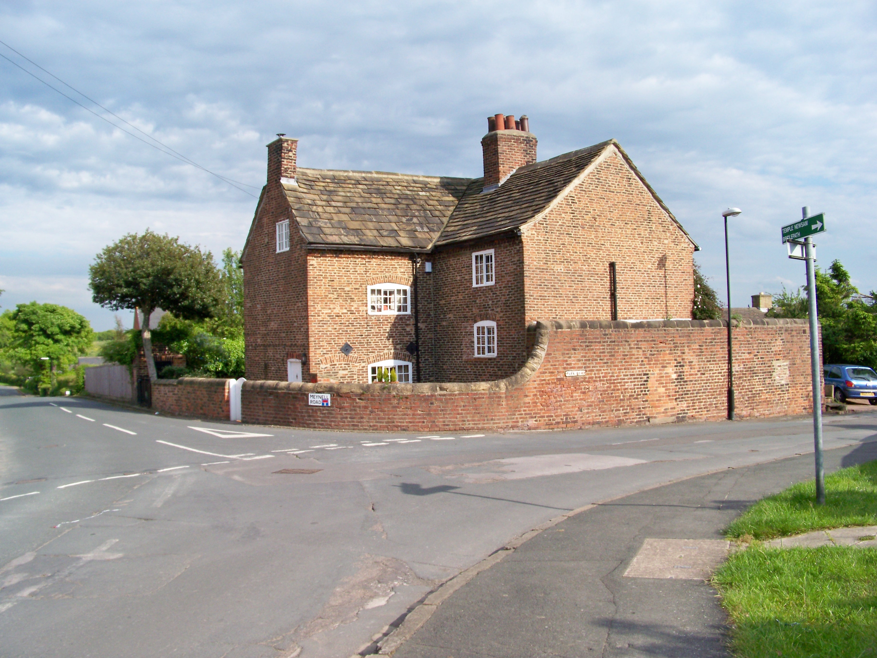
Menagerie Ponds Images
Images are sourced within 2km of 53.785541/-1.4511347 or Grid Reference SE3632. Thanks to Geograph Open Source API. All images are credited.


Menagerie Ponds is located at Grid Ref: SE3632 (Lat: 53.785541, Lng: -1.4511347)
Division: West Riding
Unitary Authority: Leeds
Police Authority: West Yorkshire
What 3 Words
///wool.older.eagle. Near Swillington, West Yorkshire
Nearby Locations
Related Wikis
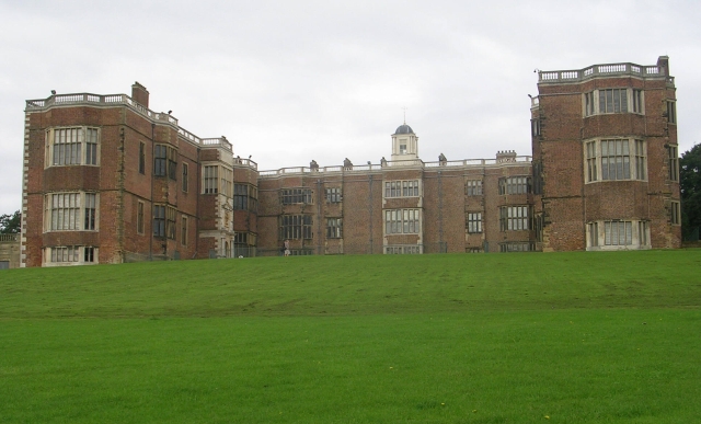
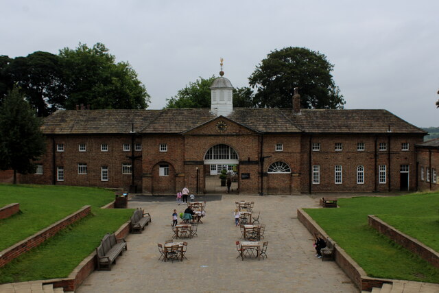
Temple Newsam
Temple Newsam (historically Temple Newsham, grid reference SE357322) is a Tudor-Jacobean house in Leeds, West Yorkshire, England, with grounds landscaped...
Colton, Leeds
Colton is a district of east Leeds, West Yorkshire, England, situated between Cross Gates to the north, Halton and Halton Moor to the west, Whitkirk to...

St Mary's Church, Whitkirk
St Mary's Church in Whitkirk, Leeds, West Yorkshire, England is an active Anglican parish church in the archdeaconry of Leeds and the Diocese of Leeds...
Temple Moor High School
Temple Moor High School is a coeducational secondary school and sixth form located in Leeds, West Yorkshire, England. In recent years, it has received...
Nearby Amenities
Located within 500m of 53.785541,-1.4511347Have you been to Menagerie Ponds?
Leave your review of Menagerie Ponds below (or comments, questions and feedback).