Mill Leat
Lake, Pool, Pond, Freshwater Marsh in Yorkshire
England
Mill Leat
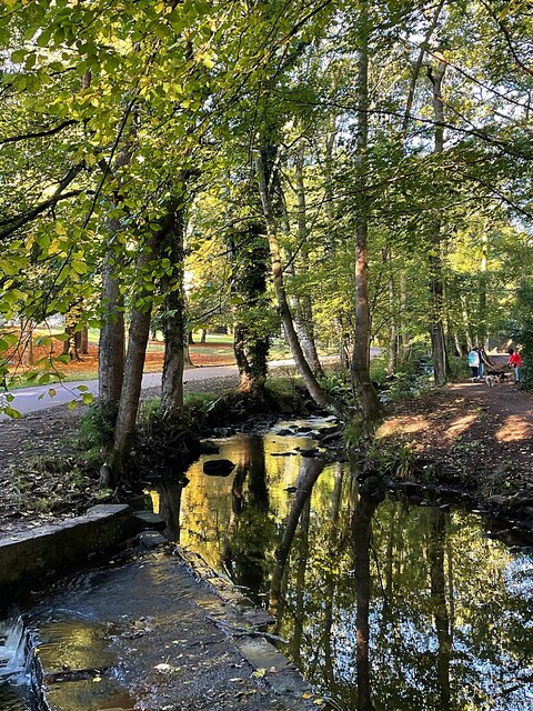
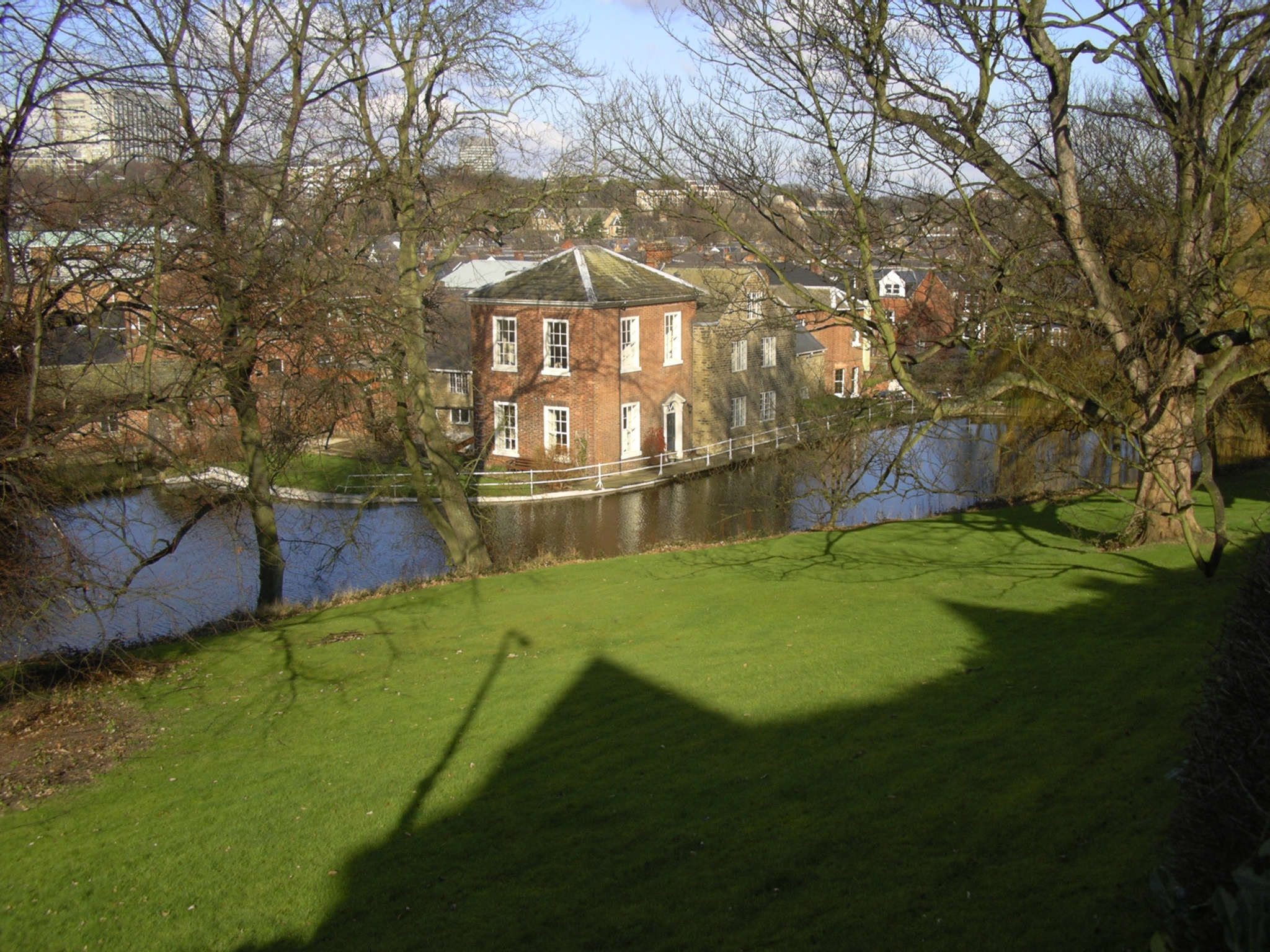
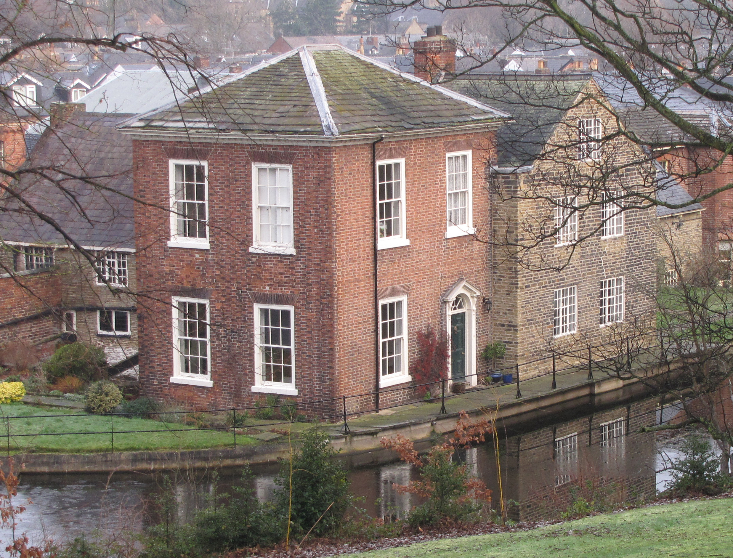
Mill Leat is a picturesque water feature located in Yorkshire, England. This man-made channel serves as a vital source of freshwater for the surrounding areas, providing a serene and tranquil environment for both humans and wildlife. The term "leat" refers to an artificial watercourse, typically constructed to power watermills, and Mill Leat is no exception.
Spanning across a length of approximately 1 kilometer, Mill Leat is a narrow and winding channel. It is fed by a nearby river, ensuring a constant flow of fresh water. The water within the leat is calm and peaceful, creating a serene atmosphere that attracts visitors seeking solace and relaxation.
Surrounded by lush greenery and tall trees, Mill Leat serves as a natural habitat for a variety of flora and fauna. The water provides a refuge for numerous species of fish, including trout and perch, making it a popular spot for anglers. Additionally, the verdant vegetation along the banks of the leat supports a diverse range of wildlife, such as ducks, swans, and various species of birds. These animals can often be seen gracefully gliding across the water's surface or nesting in the surrounding foliage.
Mill Leat also offers recreational opportunities for visitors. Its calm waters are ideal for boating and kayaking, allowing enthusiasts to explore the channel's meandering path. Moreover, its tranquil surroundings make it a popular spot for picnics and leisurely walks, providing a peaceful escape from the hustle and bustle of everyday life.
In conclusion, Mill Leat in Yorkshire is a picturesque water feature that not only provides essential freshwater resources but also serves as a haven for wildlife and a recreational retreat for visitors. Its serene and tranquil ambiance, coupled with its diverse flora and fauna, make it a delightful destination for nature enthusiasts and those seeking a moment of tranquility.
If you have any feedback on the listing, please let us know in the comments section below.
Mill Leat Images
Images are sourced within 2km of 53.36833/-1.4927438 or Grid Reference SK3385. Thanks to Geograph Open Source API. All images are credited.


Mill Leat is located at Grid Ref: SK3385 (Lat: 53.36833, Lng: -1.4927438)
Division: West Riding
Unitary Authority: Sheffield
Police Authority: South Yorkshire
What 3 Words
///deals.fonts.mutual. Near Sheffield, South Yorkshire
Nearby Locations
Related Wikis
Wilsons of Sharrow
Wilsons of Sharrow, now named Wilsons & Company (Sharrow) Ltd, based at Sharrow Mills in the Sharrow district of Sheffield, United Kingdom, is a manufacturer...
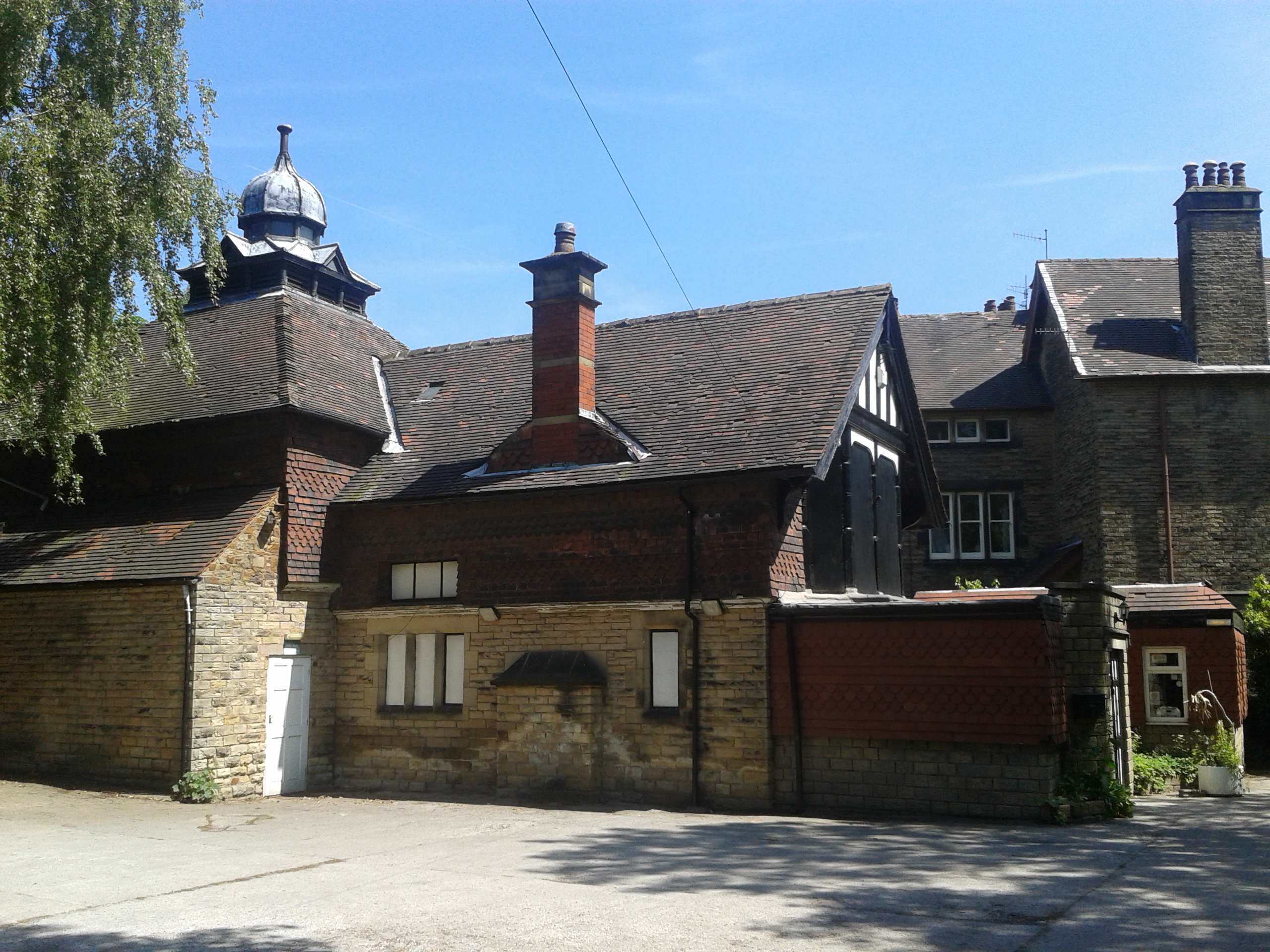
Sharrow Mills
Sharrow Mills are a collection of industrial buildings in Sheffield, England, which have been used for the production of snuff by the firm of Wilsons of...
Sharrow
Sharrow is a suburb of Sheffield located directly southwest of Sheffield city centre. The district lies within the Nether Edge and Sharrow ward of the...

Sheffield General Cemetery
The General Cemetery in the City of Sheffield, England opened in 1836 and closed for burial in 1978. It was the principal cemetery in Victorian Sheffield...

Wilson Road Synagogue
The Wilson Road Synagogue was the largest synagogue in Sheffield in England for much of the twentieth-century. Sheffield had a Jewish population from the...

Shirle Hill
Shirle Hill is a mansion and former health facility on Cherry Tree Road, Sheffield, South Yorkshire, England. == History == The house was completed in...
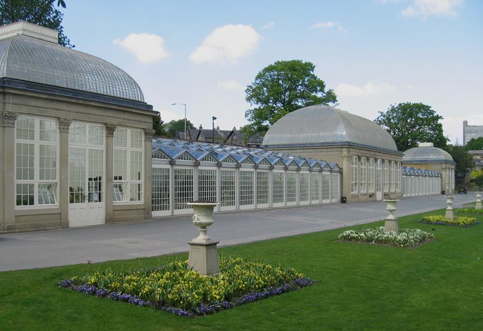
Sheffield Botanical Gardens
The Sheffield Botanical Gardens are Grade II listed botanical gardens situated off Ecclesall Road in Sheffield, England, with 5,000 species of plants in...
Lantern Theatre
The Lantern Theatre (originally called The Chalet Theatre) is a small Sheffield theatre (seating capacity 84) built in 1893 and is Sheffield's oldest theatre...
Nearby Amenities
Located within 500m of 53.36833,-1.4927438Have you been to Mill Leat?
Leave your review of Mill Leat below (or comments, questions and feedback).