Astley Pool
Lake, Pool, Pond, Freshwater Marsh in Warwickshire North Warwickshire
England
Astley Pool
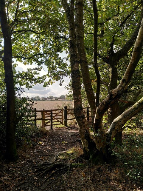
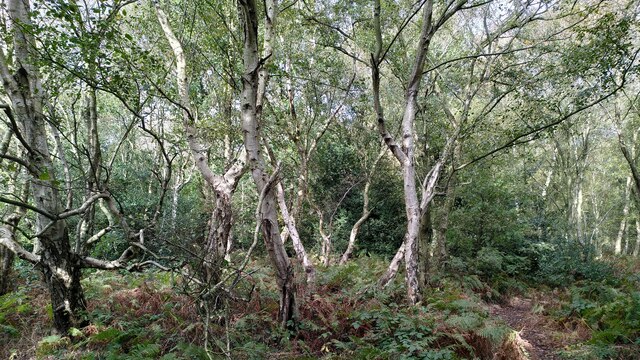
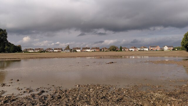
Astley Pool is a picturesque freshwater marsh located in the county of Warwickshire, England. Nestled in the heart of the Astley Village, this serene body of water covers an area of approximately 10 acres. It is surrounded by lush greenery and offers a tranquil escape from the bustling city life.
The pool is fed by various natural springs, ensuring a constant flow of fresh water throughout the year. It boasts crystal-clear waters that reflect the surrounding landscape, creating a mesmerizing and peaceful ambiance. The pool's depth varies, with some areas reaching up to 20 feet, providing an ideal habitat for a diverse range of aquatic plants and wildlife.
The pool is home to an array of waterfowl species, including ducks, geese, and swans, which can often be seen gracefully gliding across the surface. Additionally, it attracts a variety of bird species, making it a popular spot for birdwatching enthusiasts.
Surrounding the pool, there are well-maintained footpaths and benches, offering visitors the opportunity to appreciate the natural beauty of the area. The pool is also a popular destination for anglers, who can be seen casting their lines in search of a variety of freshwater fish, including carp, pike, and roach.
Astley Pool provides a haven for both nature enthusiasts and those seeking a peaceful retreat. Its scenic beauty and abundant wildlife make it a must-visit destination for anyone exploring the Warwickshire countryside.
If you have any feedback on the listing, please let us know in the comments section below.
Astley Pool Images
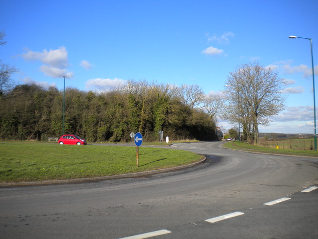
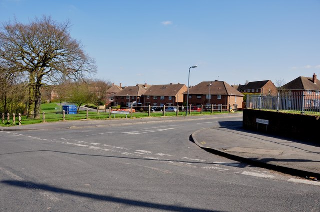
Images are sourced within 2km of 52.502189/-1.5392712 or Grid Reference SP3189. Thanks to Geograph Open Source API. All images are credited.


Astley Pool is located at Grid Ref: SP3189 (Lat: 52.502189, Lng: -1.5392712)
Administrative County: Warwickshire
District: North Warwickshire
Police Authority: Warwickshire
What 3 Words
///ally.wider.slips. Near Hartshill, Warwickshire
Nearby Locations
Related Wikis
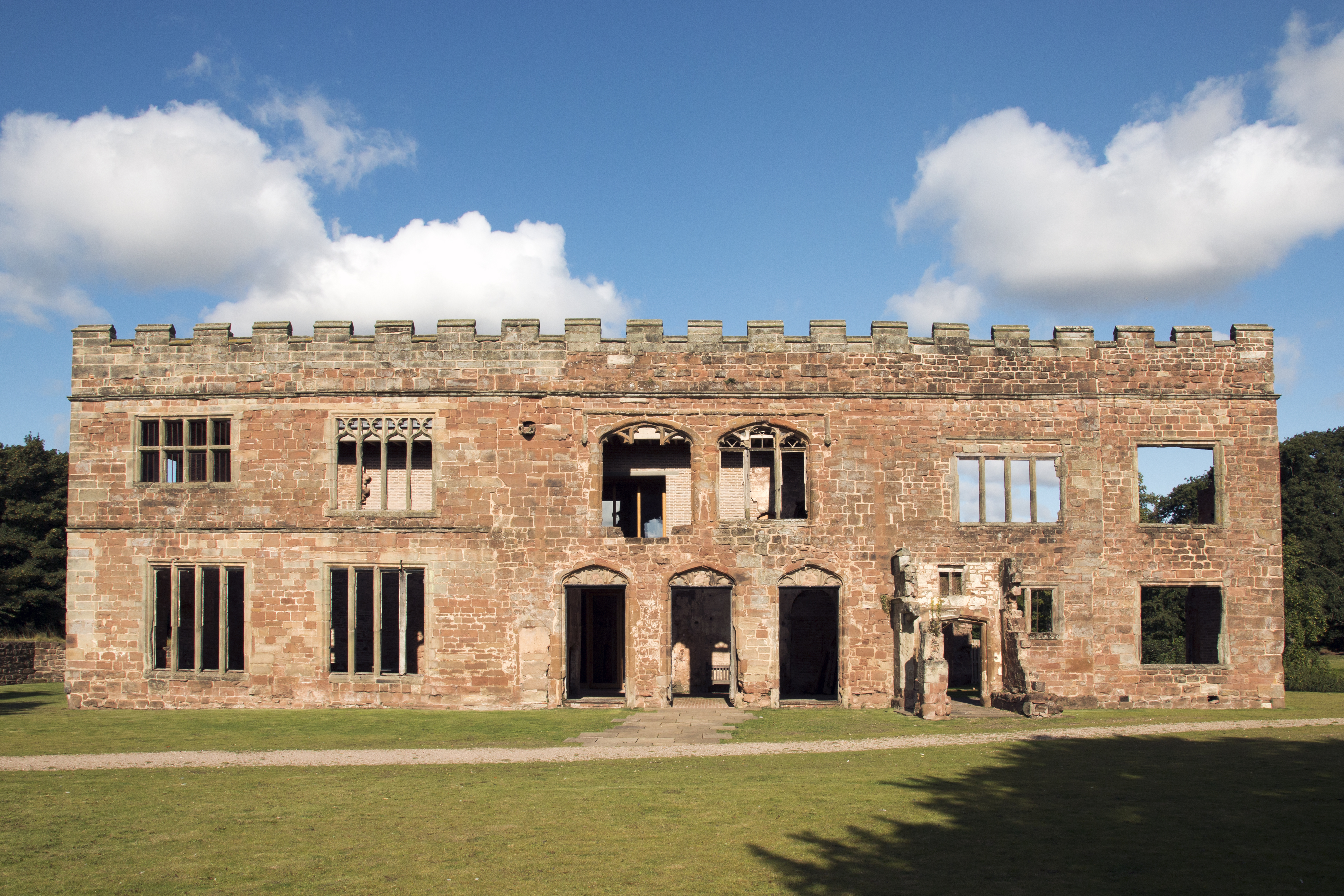
Astley Castle
Astley Castle is a ruinous moated fortified 16th century manor house in North Warwickshire, England. It has been listed as a Grade II* listed building...

Astley, Warwickshire
Astley is a small village and civil parish within the North Warwickshire district of Warwickshire, England. In the 2001 census it had a population of...

Arbury Hall
Arbury Hall (grid reference SP335893) is a Grade I listed country house in Nuneaton, Warwickshire, England, and the ancestral home of the Newdigate family...

Arbury Priory
Arbury Priory was an Augustinian priory in the parish of Chilvers Coton, Warwickshire, England. The priory was founded early in the reign of Henry II...
Ansley, Warwickshire
Ansley is a parish in Warwickshire consisting of Ansley, Ansley Common, Church End, Birchley Heath and, previously, Ansley Hall Colliery. Ansley is on...
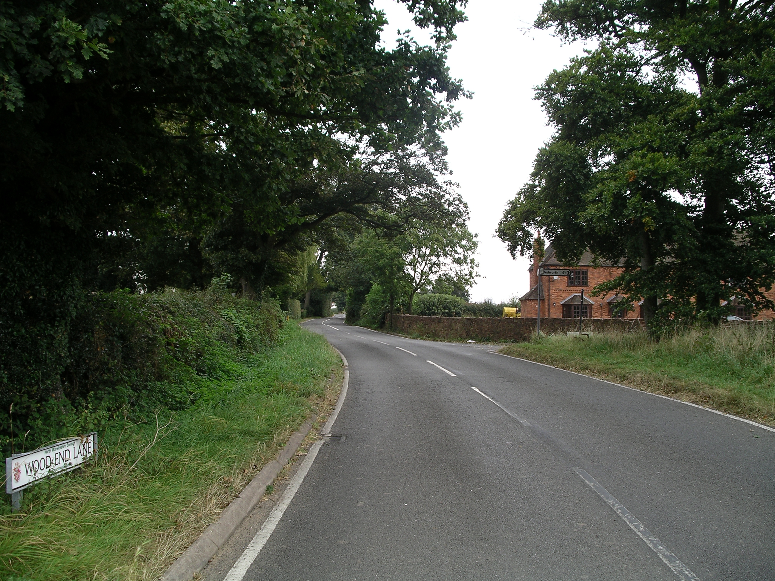
Wood End, Fillongley
Wood End, is a small village in Warwickshire, England. It is situated north of Coventry. The village is part of the civil parish of Fillongley. There is...
Galley Common
Galley Common is a suburban village on the outskirts of Nuneaton, Warwickshire, England. The community is a ward on the western fringe of Nuneaton and...

St Paul's Church, Stockingford
St Paul's Church, Stockingford, is a Church of England parish church in Stockingford, Nuneaton, Warwickshire, England. It is part of the Diocese of Coventry...
Nearby Amenities
Located within 500m of 52.502189,-1.5392712Have you been to Astley Pool?
Leave your review of Astley Pool below (or comments, questions and feedback).