Astley

Settlement in Warwickshire North Warwickshire

England

Astley

St Michael's Church, New Arley The Arley Colliery Company began mining coal locally in 1905. In the 1920s it built a company village of six hundred houses, called New Arley, and, in 1928, a company church to serve it, the Church of England parish church of St Michael. The style could perhaps be called colliers' baroque. See the Victoria County History of Warwickshire, Vol. 6 pp8-12, which doesn't give the name of the architect <span class="nowrap"><a title="https://www.british-history.ac.uk/vch/warks/vol6/pp8-12" rel="nofollow ugc noopener" href="https://www.british-history.ac.uk/vch/warks/vol6/pp8-12">Link</a><img style="margin-left:2px;" alt="External link" title="External link - shift click to open in new window" src="https://s1.geograph.org.uk/img/external.png" width="10" height="10"/></span> .
St Michael's Church, New Arley Credit: A J Paxton

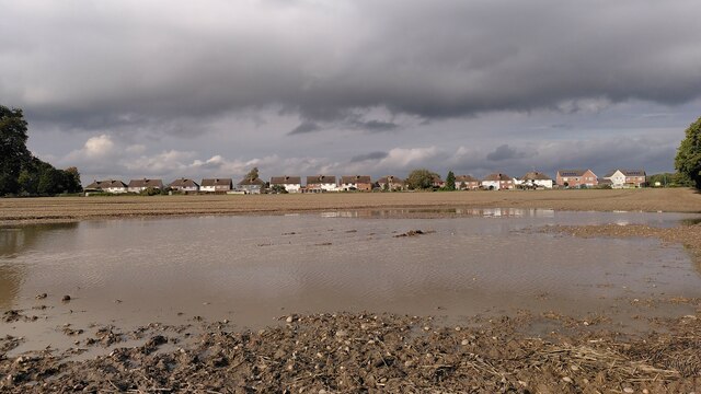
Astley is a small village located in the county of Warwickshire, England. Situated approximately 10 miles northeast of Nuneaton, it is part of the North Warwickshire district. The village is surrounded by picturesque countryside and offers a peaceful and rural setting for its residents.

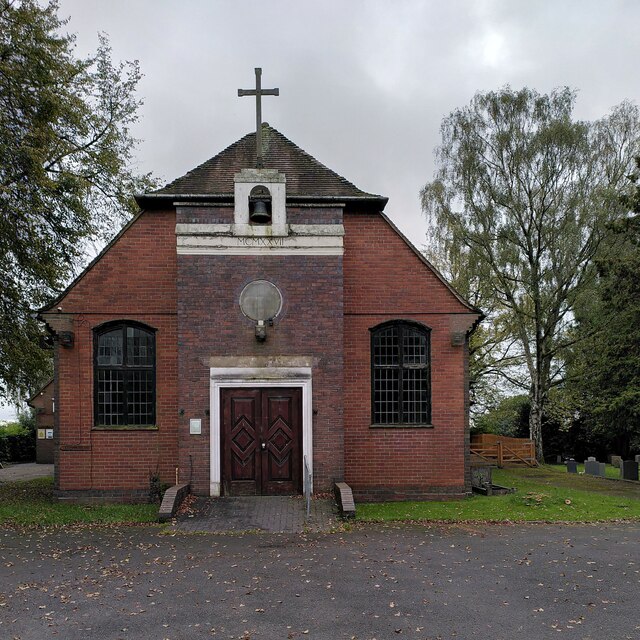
Astley is known for its rich history, with evidence of human settlement dating back to the Roman period. The village is home to several historical landmarks, including Astley Castle, a Grade II listed building that dates back to the 12th century. The castle has been beautifully restored and is now a popular tourist attraction.

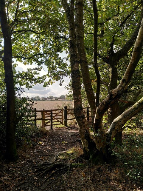
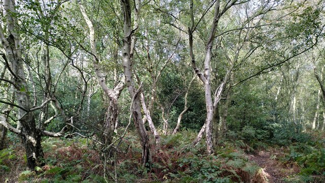
In addition to its historical significance, Astley also boasts stunning natural beauty. The village is nestled in the heart of the Arden Forest, an area of ancient woodland renowned for its diverse flora and fauna. This makes Astley a haven for nature lovers and provides ample opportunities for outdoor activities such as hiking and birdwatching.

Despite its small size, Astley is a close-knit community that benefits from a range of local amenities. These include a village hall, a primary school, and a traditional pub that serves as a meeting point for residents. The village also hosts various events throughout the year, including a summer fete and a Christmas market, fostering a strong sense of community spirit.

Overall, Astley offers a charming and tranquil environment, making it an idyllic place to live or visit for those seeking a break from the hustle and bustle of city life.

If you have any feedback on the listing, please let us know in the comments section below.
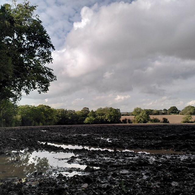
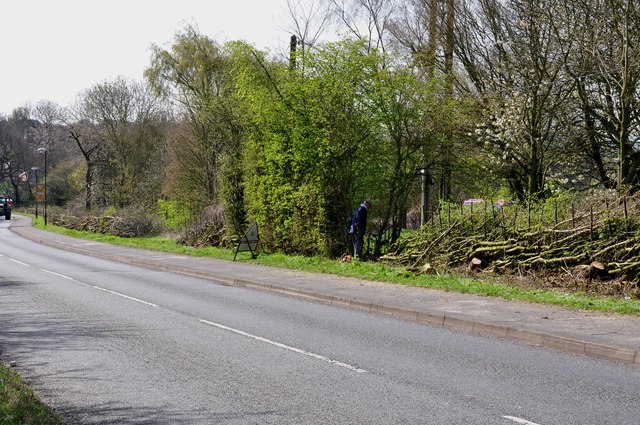
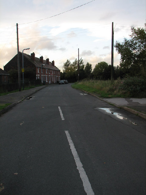
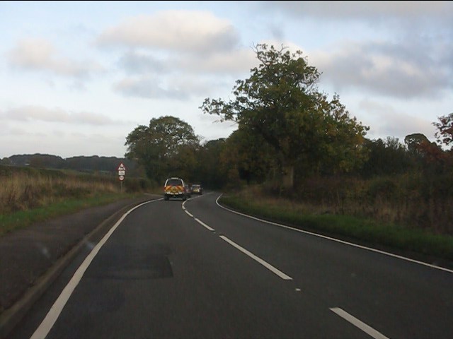
Astley Images

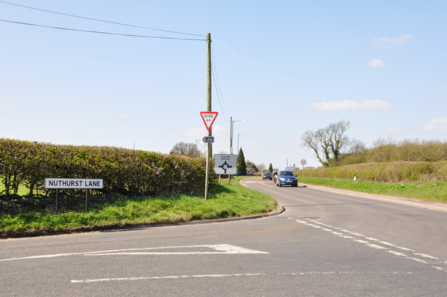
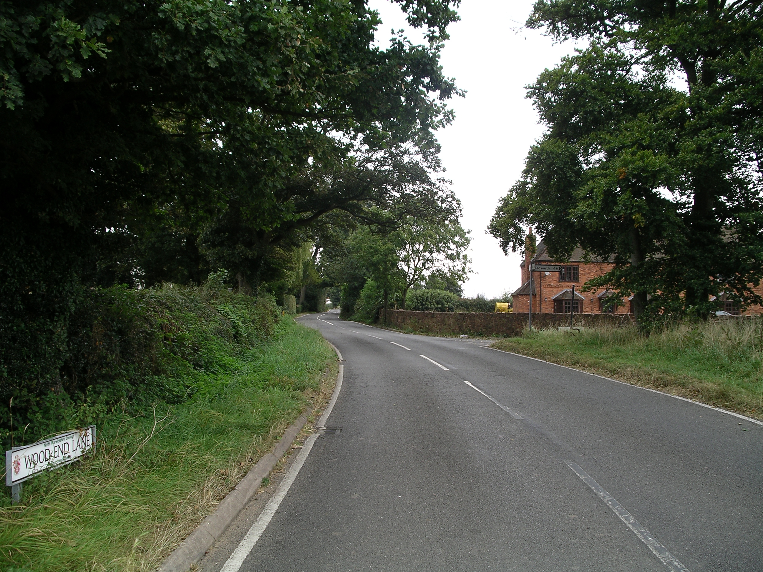
Images are sourced within 2km of 52.501634/-1.5445362 or Grid Reference SP3189. Thanks to Geograph Open Source API. All images are credited.

St Michael's Church, New Arley The Arley Colliery Company began mining coal locally in 1905. In the 1920s it built a company village of six hundred houses, called New Arley, and, in 1928, a company church to serve it, the Church of England parish church of St Michael. The style could perhaps be called colliers' baroque. See the Victoria County History of Warwickshire, Vol. 6 pp8-12, which doesn't give the name of the architect <span class="nowrap"><a title="https://www.british-history.ac.uk/vch/warks/vol6/pp8-12" rel="nofollow ugc noopener" href="https://www.british-history.ac.uk/vch/warks/vol6/pp8-12">Link</a><img style="margin-left:2px;" alt="External link" title="External link - shift click to open in new window" src="https://s1.geograph.org.uk/img/external.png" width="10" height="10"/></span> .
St Michael's Church, New Arley
The Arley Colliery Company began mining coal locally in 1905. In the 1920s it built a company village of six hundred houses, called New Arley, and, in 1928, a company church to serve it, the Church of England parish church of St Michael. The style could perhaps be called colliers' baroque. See the Victoria County History of Warwickshire, Vol. 6 pp8-12, which doesn't give the name of the architect LinkExternal link .
New Arley seen from Gorsy Spinney From the birch trees of the spinney a footpath runs southwards to Wood End, following the edges of fields and passing the eastern tip of New Arley village.
New Arley seen from Gorsy Spinney
From the birch trees of the spinney a footpath runs southwards to Wood End, following the edges of fields and passing the eastern tip of New Arley village.
Birch trees at Gorsy Spinney, Arley A path runs through the wood on the edge of the football ground at Hill Top. public footpaths lead from here to Astley and Wood End.
Birch trees at Gorsy Spinney, Arley
A path runs through the wood on the edge of the football ground at Hill Top. public footpaths lead from here to Astley and Wood End.
New Arley reflections The path from New Arley to Wood End runs along the edge of a large field, which was very wet after heavy autumn rain.
New Arley reflections
The path from New Arley to Wood End runs along the edge of a large field, which was very wet after heavy autumn rain.
Lost in a muddy field, Wood End Well, I knew where I was on the map, but had lost the footpath. North Warwickshire has some good walking country, but signposting is often poor. The path had crossed a ditch and a field boundary without warning.
Lost in a muddy field, Wood End
Well, I knew where I was on the map, but had lost the footpath. North Warwickshire has some good walking country, but signposting is often poor. The path had crossed a ditch and a field boundary without warning.
Field path, Wood End At last, a signpost, though the sign itself was broken and faded.
Field path, Wood End
At last, a signpost, though the sign itself was broken and faded.
Football pitch at Hill Top The woods at Gorsy Spinney can be seen beyond the recreation ground.
Football pitch at Hill Top
The woods at Gorsy Spinney can be seen beyond the recreation ground.
Hedge Laying the old fashioned way at Hill Top The gentleman almost hidden in the centre of the picture, is doing an outstanding job , laying this very overgrown hedge, the way it has been done for hundreds of years, not just chopping it off with a chainsaw.
Hedge Laying the old fashioned way at Hill Top
The gentleman almost hidden in the centre of the picture, is doing an outstanding job , laying this very overgrown hedge, the way it has been done for hundreds of years, not just chopping it off with a chainsaw.
Leaving Gun Hill on Church Lane In the distance across the valley, Old Arley can just be seen behind the telegraph pole.
Leaving Gun Hill on Church Lane
In the distance across the valley, Old Arley can just be seen behind the telegraph pole.
Hill Top A view of some houses in this rural hamlet.
Hill Top
A view of some houses in this rural hamlet.
The Fir Tree, New Arley A local pub for local people, and you can grab a curry until midnight!
The Fir Tree, New Arley
A local pub for local people, and you can grab a curry until midnight!
Hill Top at dusk A view of Hill Top (formerly part of New Arley). One of the houses in the row used to be the Police House for Arley, where the Neighbourhood Watch met and the Community Police officers could meet their err.. community!
Hill Top at dusk
A view of Hill Top (formerly part of New Arley). One of the houses in the row used to be the Police House for Arley, where the Neighbourhood Watch met and the Community Police officers could meet their err.. community!
Glebe Farm and pheasants An early morning shot of Glebe Farm just off Park Lane, between Astley and Fillongley, with a couple of sprightly pheasants just in the photo top right.
Glebe Farm and pheasants
An early morning shot of Glebe Farm just off Park Lane, between Astley and Fillongley, with a couple of sprightly pheasants just in the photo top right.
Astley Road near Sees Wood
Looking along the Ansley Road towards the Village of Ansley
Nuthurst Lane looking to the Roundabout at Ansley
Spring Daffs at the entrance to Church Farm
Approaching Ansley roundabout Approaching Ansley roundabout along Ansley Road.
Approaching Ansley roundabout
Approaching Ansley roundabout along Ansley Road.
Show me another place!

Astley is located at Grid Ref: SP3189 (Lat: 52.501634, Lng: -1.5445362)

Administrative County: Warwickshire

District: North Warwickshire

Police Authority: Warwickshire

What 3 Words

///powerful.repelled.excellent. Near Hartshill, Warwickshire

Nearby Locations

Astley Astley Pool

Related Wikis

Astley, Warwickshire

Astley is a small village and civil parish within the North Warwickshire district of Warwickshire, England. In the 2001 census it had a population of...
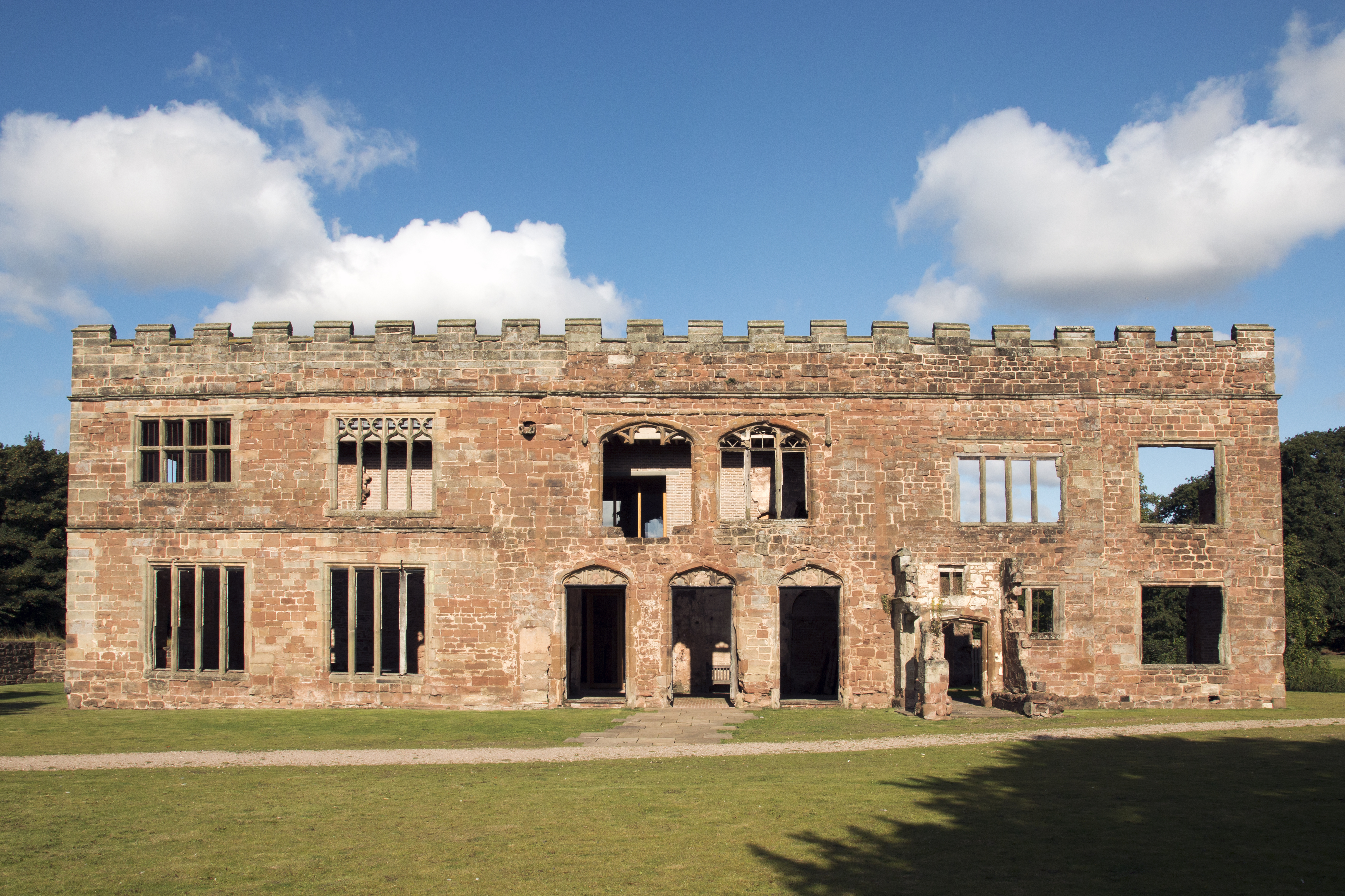
Astley Castle

Astley Castle is a ruinous moated fortified 16th century manor house in North Warwickshire, England. It has been listed as a Grade II* listed building...

Wood End, Fillongley

Wood End, is a small village in Warwickshire, England. It is situated north of Coventry. The village is part of the civil parish of Fillongley. There is...

Ansley, Warwickshire

Ansley is a parish in Warwickshire consisting of Ansley, Ansley Common, Church End, Birchley Heath and, previously, Ansley Hall Colliery. Ansley is on...

Arbury Hall

Arbury Hall (grid reference SP335893) is a Grade I listed country house in Nuneaton, Warwickshire, England, and the ancestral home of the Newdigate family...

Arbury Priory

Arbury Priory was an Augustinian priory in the parish of Chilvers Coton, Warwickshire, England. The priory was founded early in the reign of Henry II...

Galley Common

Galley Common is a suburban village on the outskirts of Nuneaton, Warwickshire, England. The community is a ward on the western fringe of Nuneaton and...

Old Arley

Old Arley is a village in the civil parish of Arley, in the north of Warwickshire, England, 5.5 miles (8.9 km) west of Nuneaton and 10 miles (16 km) north...

Nearby Amenities

Located within 500m of 52.501634,-1.5445362
Bus Stop
Crossroads
Bus: yes
Naptan AtcoCode: 4200F003200
Naptan Bearing: N
Naptan CommonName: Crossroads
Naptan Indicator: Adj
Naptan Landmark: Astley Crossroads
Naptan NaptanCode: waradagp
Naptan Street: Red Lane
Naptan Verified: no
Public Transport: platform
Source: naptan_import
Lat/Long: 52.4993177/-1.5427937
Crossroads
Naptan AtcoCode: 4200F003201
Naptan Bearing: SE
Naptan BusStopType: CUS
Naptan CommonName: Crossroads
Naptan Indicator: Adj
Naptan NaptanCode: wardjdmp
Naptan Street: Red Lane
Naptan Verified: no
Source: naptan_import
Lat/Long: 52.4993255/-1.542499
Astley
Place: hamlet
Source: OS_OpenData_StreetView
Wikidata: Q2507709
Lat/Long: 52.5014196/-1.542541
Power: pole
Source: Bing
Lat/Long: 52.504876/-1.5410388
Power: pole
Source: Bing
Lat/Long: 52.5047913/-1.5429324
Power: pole
Source: Bing
Lat/Long: 52.5024418/-1.5506492
Power: pole
Source: Bing
Lat/Long: 52.5014295/-1.5460087
Power: pole
Source: Bing
Lat/Long: 52.5015175/-1.5447374
Power: pole
Source: Bing
Lat/Long: 52.5020859/-1.5486858
Power: pole
Source: Bing
Lat/Long: 52.5011846/-1.5488682
Power: pole
Source: Bing
Lat/Long: 52.5029184/-1.5480797
Power: pole
Source: Bing
Lat/Long: 52.5030685/-1.5489863
Power: pole
Source: Bing
Lat/Long: 52.5013316/-1.5474303
Power: pole
Lat/Long: 52.5046877/-1.5448129
Power: pole
Lat/Long: 52.5036444/-1.5474656
The data included in this document is from www.openstreetmap.org. The data is made available under ODbL.

Have you been to Astley?

Leave your review of Astley below (or comments, questions and feedback).