Backworth
Settlement in Northumberland
England
Backworth

Backworth is a small village located in the county of Northumberland, England. Situated approximately 7 miles north of the city of Newcastle upon Tyne, Backworth lies within the borough of North Tyneside. The village is surrounded by picturesque countryside and is known for its rural charm.
Backworth has a rich history, dating back to the medieval period. It was initially an agricultural community, renowned for its fertile lands and farming practices. However, the discovery of coal in the area during the 19th century led to a significant shift in the village's economy. The mining industry became the primary source of employment and prosperity for the local population.
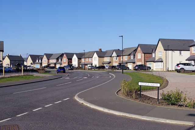
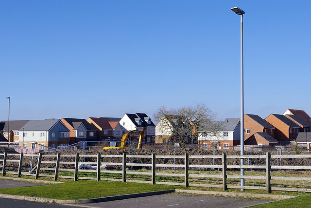
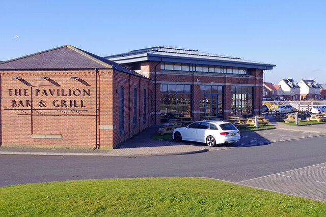
Despite the decline of the coal industry, Backworth has managed to maintain its distinct character. Today, the village offers a blend of traditional and modern amenities. It boasts a range of housing options, including historic cottages and newer developments, catering to a diverse population. The village also features a local primary school, a community center, and a few shops and businesses that serve the needs of residents.
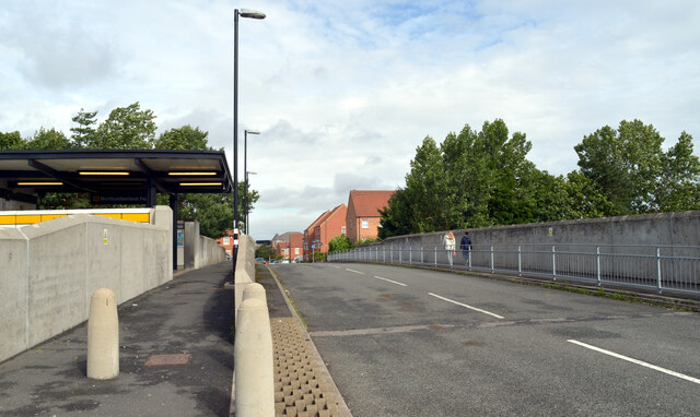
Backworth is well-connected to neighboring areas by road and public transport, making it accessible for commuters. The village benefits from its proximity to the urban amenities of Newcastle upon Tyne, while still providing a peaceful and close-knit community for its residents. Additionally, the surrounding countryside offers ample opportunities for outdoor activities, such as walking and cycling, making Backworth an attractive destination for nature enthusiasts.
If you have any feedback on the listing, please let us know in the comments section below.
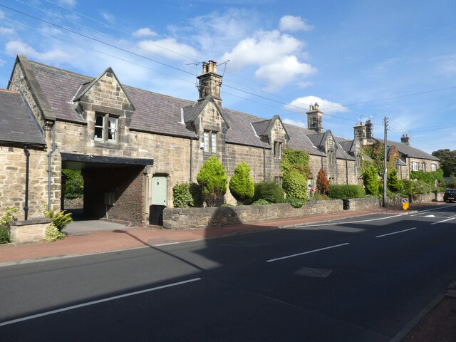
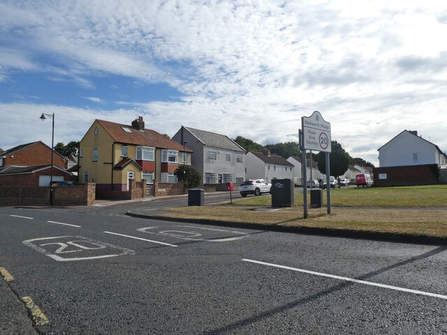
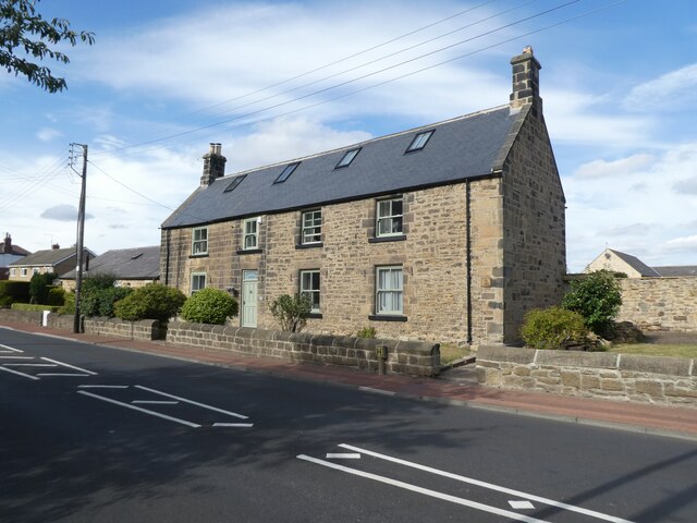
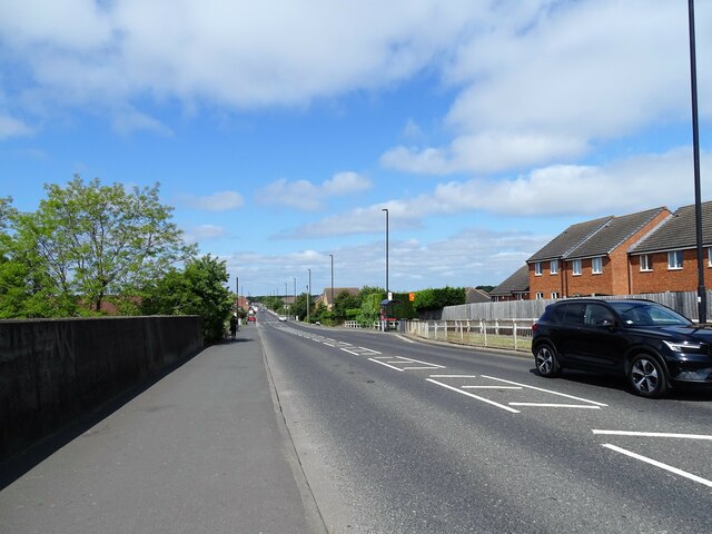
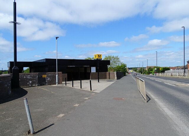
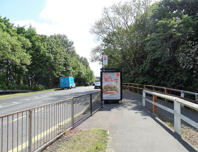
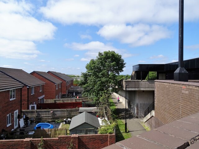
Backworth Images
Images are sourced within 2km of 55.037199/-1.524294 or Grid Reference NZ3071. Thanks to Geograph Open Source API. All images are credited.
Backworth is located at Grid Ref: NZ3071 (Lat: 55.037199, Lng: -1.524294)
Unitary Authority: North Tyneside
Police Authority: Northumbria
What 3 Words
///clasps.inflation.setting. Near Backworth, Northumberland
Nearby Locations
Related Wikis
Backworth
Backworth is a village in the metropolitan borough of North Tyneside in the county of Tyne and Wear, England, about 3+1⁄2 miles (6 km) west of Whitley...

Moorside, North Tyneside
Moorside is a housing estate near Backworth and Shiremoor. It consists of a large housing estate, a few shops and a veterinary practice.There is a Catholic...
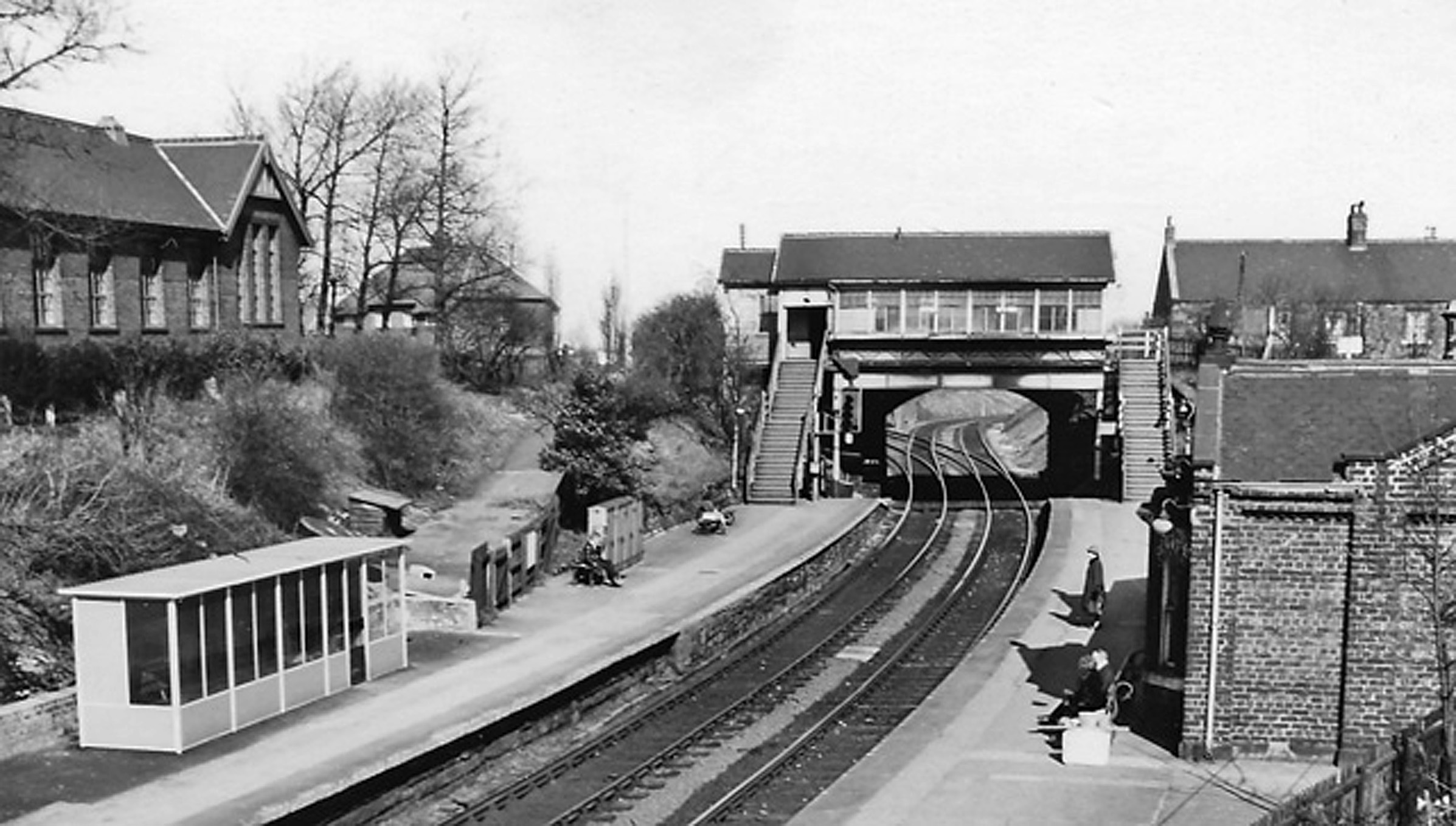
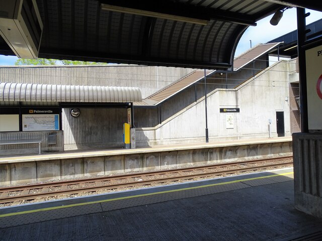
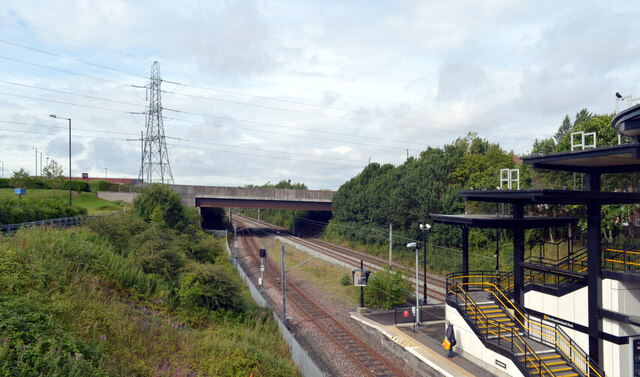
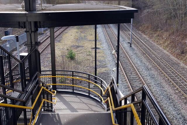
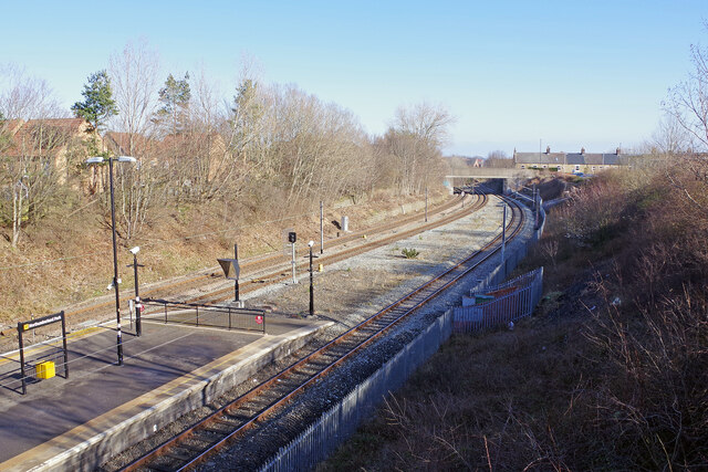
Backworth railway station
Backworth railway station served part of Newcastle in the English county of Northumberland, later part of Tyne and Wear. The station opened as Hotspur...

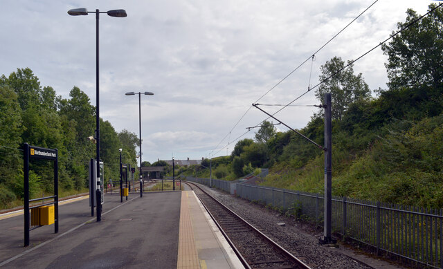
Northumberland Park Metro station
Northumberland Park is a Tyne and Wear Metro and future National Rail station, serving the village of Backworth and suburbs of Northumberland Park and...
Nearby Amenities
Located within 500m of 55.037199,-1.524294Have you been to Backworth?
Leave your review of Backworth below (or comments, questions and feedback).