Limmer Pond

Lake, Pool, Pond, Freshwater Marsh in Wiltshire

England

Limmer Pond

Farmland, Chute With the bridleway heading south from Chantry.
Farmland, Chute Credit: Andrew Smith

Limmer Pond, located in the county of Wiltshire, England, is a serene freshwater body that encompasses the characteristics of both a lake and a pond. Spanning an area of approximately 3 acres, it is nestled amidst picturesque surroundings, providing a tranquil retreat for visitors and local wildlife alike.

The pond is fed by various natural springs, ensuring a constant flow of freshwater throughout the year. Its crystal-clear waters are home to a diverse range of aquatic plants, including lily pads and water lilies, which add a vibrant touch to the landscape. These plants also serve as habitats for a multitude of species, such as frogs, newts, and a variety of water insects.

Surrounded by lush greenery, Limmer Pond boasts a thriving ecosystem, attracting numerous bird species. Swans, ducks, and herons can often be spotted gracefully gliding across the water's surface or perched on the pond's edges, while their melodious calls create a soothing ambiance.

Beyond its aesthetic appeal, Limmer Pond plays a vital role in maintaining the local environment. As a freshwater marsh, it acts as a natural filtration system, purifying the water and improving its quality. The pond also helps regulate the local climate, acting as a heat sink during warm periods and releasing moisture into the air, thus cooling the surrounding area.

Limmer Pond offers a charming location for recreational activities such as fishing, boating, and picnicking. Its peaceful atmosphere provides a welcome escape from the hustle and bustle of everyday life, making it a popular destination for nature enthusiasts and those seeking a moment of tranquility amidst the beauty of Wiltshire's countryside.

If you have any feedback on the listing, please let us know in the comments section below.
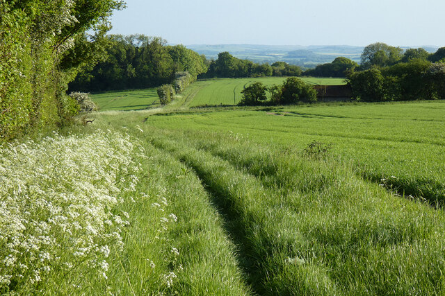
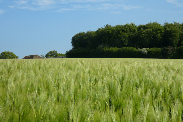
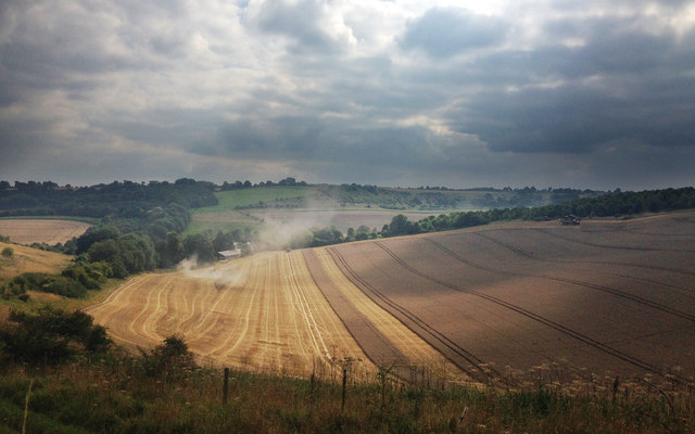
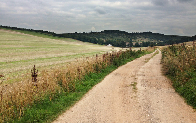
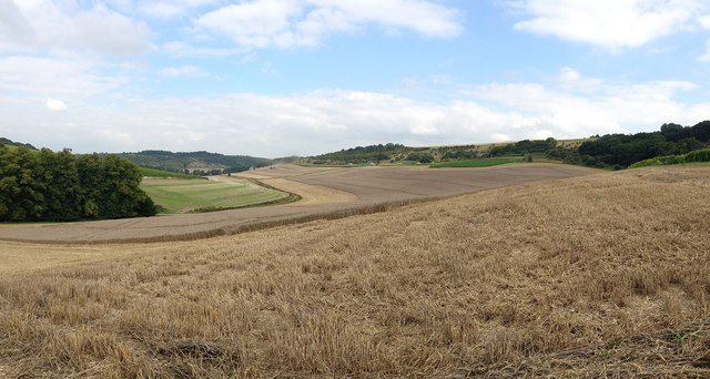
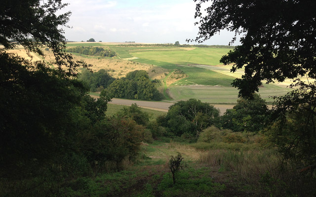
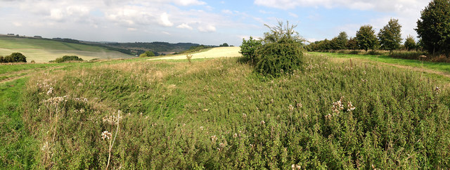
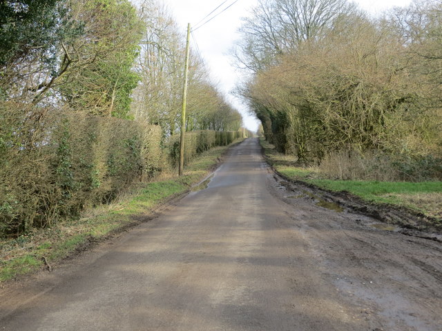
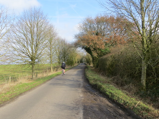
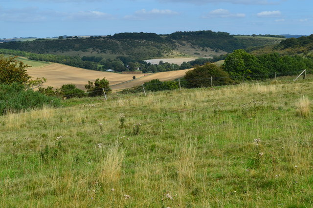
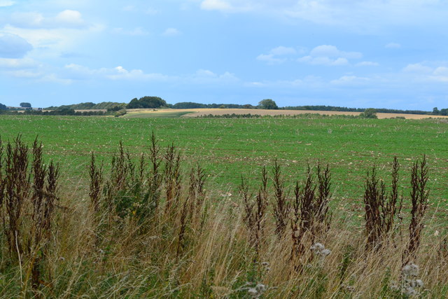
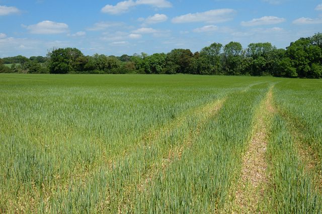
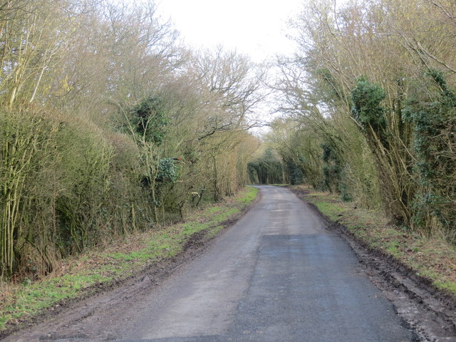
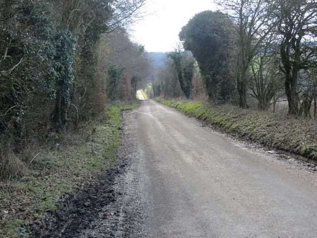
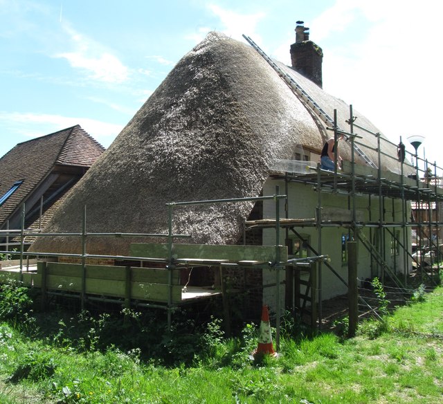
Limmer Pond Images

Images are sourced within 2km of 51.296223/-1.5812123 or Grid Reference SU2955. Thanks to Geograph Open Source API. All images are credited.

Farmland, Chute With the bridleway heading south from Chantry.
Farmland, Chute
With the bridleway heading south from Chantry.
Farmland, Collingbourne Kingston Buildings at Gammon's Farm and the northern tip of Rag Copse seen across a field of barley.
Farmland, Collingbourne Kingston
Buildings at Gammon's Farm and the northern tip of Rag Copse seen across a field of barley.
Harvesting wheat A cloud of dust and cut straw emerges from behind a modern day combine harvester in a mid-sized arable field at Hippenscombe, Fosbury, Wiltshire
Harvesting wheat
A cloud of dust and cut straw emerges from behind a modern day combine harvester in a mid-sized arable field at Hippenscombe, Fosbury, Wiltshire
Field track A well constructed field track-cum-bridleway traversing the valley bottom at Hippenscombe Bottom.
Field track
A well constructed field track-cum-bridleway traversing the valley bottom at Hippenscombe Bottom.
Mixed chalk landscape The view extends to the ancient Fosbury Camp in the distance, down through Hippenscombe Bottom, a broad valley given over to arable farming and bounded by rough grazing land on the chalk sides.  Areas of scrub and woodland are also evident.
Mixed chalk landscape
The view extends to the ancient Fosbury Camp in the distance, down through Hippenscombe Bottom, a broad valley given over to arable farming and bounded by rough grazing land on the chalk sides. Areas of scrub and woodland are also evident.
Across the steep-sided chalk valley at Hippenscombe Having climbed the southern flank of the valley at Hippencombe Bottom, this view looking across to the northern slopes demonstrates the mixed landscape hereabouts.  In the distance lies the cultivated chalk ridge, which descends down through rough calcareous grassland and small areas of woodland to the valley bottom, along which travels a bridlepath eastwards to the farm buildings at Hippenscombe.
Across the steep-sided chalk valley at Hippenscombe
Having climbed the southern flank of the valley at Hippencombe Bottom, this view looking across to the northern slopes demonstrates the mixed landscape hereabouts. In the distance lies the cultivated chalk ridge, which descends down through rough calcareous grassland and small areas of woodland to the valley bottom, along which travels a bridlepath eastwards to the farm buildings at Hippenscombe.
Site of Roman quarry pit The overgrown nature of this Roman quarry hides its other feature, the mysterious Kenwardstone, a slab of saracen stone with wave-like markings on its surface.  There is much conjecture as to how these carvings were formed, some say they were manmade while others suggest they are the result of weathering. See: <span class="nowrap"><a title="http://www.themodernantiquarian.com/post/35935/images/kenward_stone.html" rel="nofollow ugc noopener" href="http://www.themodernantiquarian.com/post/35935/images/kenward_stone.html">Link</a><img style="margin-left:2px;" alt="External link" title="External link - shift click to open in new window" src="https://s1.geograph.org.uk/img/external.png" width="10" height="10"/></span>
Site of Roman quarry pit
The overgrown nature of this Roman quarry hides its other feature, the mysterious Kenwardstone, a slab of saracen stone with wave-like markings on its surface. There is much conjecture as to how these carvings were formed, some say they were manmade while others suggest they are the result of weathering. See: LinkExternal link
Chute Causeway Looking eastward in the direction of Cornholt.
Chute Causeway
Looking eastward in the direction of Cornholt.
Chute Causeway at Little Down Looking north-eastward.
Chute Causeway at Little Down
Looking north-eastward.
View over Hippenscombe Bottom
Field above Hippenscombe Bottom
Farmland, Chute Spring barley to the east of Dummer Lane.
Farmland, Chute
Spring barley to the east of Dummer Lane.
Limmer Pond This double pond dates back many centuries and the sense of its antiquity is very apparent. Lying close to several droving routes and the Roman Road known as Chute Causeway, the ponds here were no doubt important watering holes for cattle as they were driven across the downland.
Limmer Pond
This double pond dates back many centuries and the sense of its antiquity is very apparent. Lying close to several droving routes and the Roman Road known as Chute Causeway, the ponds here were no doubt important watering holes for cattle as they were driven across the downland.
Chute Causeway Looking south-eastward.
Chute Causeway
Looking south-eastward.
Chute Causeway Looking south-eastward.
Chute Causeway
Looking south-eastward.
Chute Causeway at Scot's Poor Looking south-eastward.
Chute Causeway at Scot's Poor
Looking south-eastward.
Chute Causeway Looking south-westward.
Chute Causeway
Looking south-westward.
Finishing touches A group of thatchers working on a cottage at Scot's Poor. The thatching has been done using straw from Devonshire, whilst there's just the protective netting to fix.  This looks like another of those 'gentrification' examples in this part of the world, which seems to be creeping ever closer to London.
Finishing touches
A group of thatchers working on a cottage at Scot's Poor. The thatching has been done using straw from Devonshire, whilst there's just the protective netting to fix. This looks like another of those 'gentrification' examples in this part of the world, which seems to be creeping ever closer to London.
Show me another place!

Limmer Pond is located at Grid Ref: SU2955 (Lat: 51.296223, Lng: -1.5812123)

Unitary Authority: Wiltshire

Police Authority: Wiltshire

What 3 Words

///stores.postings.darting. Near Collingbourne Kingston, Wiltshire

Related Wikis

Chute, Wiltshire

Chute is a civil parish in east Wiltshire, England, on the border with Hampshire. It includes the main village of Upper Chute and the smaller settlements...

Hippenscombe

Hippenscombe is a hamlet within the civil parish of Tidcombe and Fosbury, Wiltshire, in the southwest of England. Marked only on large-scale maps, it lies...

Tidcombe and Fosbury

Tidcombe and Fosbury is a civil parish in Wiltshire, England, about 10 miles (16 km) southeast of Marlborough and 7 miles (11 km) south of Hungerford,...
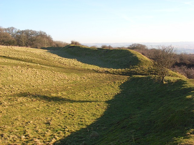
Fosbury Camp

Fosbury Camp, is the site of an Iron Age bivallate hillfort located in Wiltshire. The site is oval in shape, and approximately 26 acres in areaThe site...

Tidcombe

Tidcombe is a small village in Wiltshire, England, on the eastern edge of the county, near Hampshire, about 9 miles (14 km) southeast of Marlborough and...

Conholt

Conholt was a small village in east Wiltshire, England, close to the Hampshire border and about 6 miles (10 km) northeast of Andover. It is now the site...

Bevisbury

Bevisbury is the site of a former Iron Age plateau fort in Hampshire, England. The fort lies on a chalk ridge and is of a single bank and ditch construction...

St Mary's Church, Chute Forest

St Mary's Church in Chute Forest, Wiltshire, England, was built between 1870 and 1871 and consecrated in 1875. It is recorded in the National Heritage...

Nearby Amenities

Located within 500m of 51.296223,-1.5812123
Mount Cowdown
Access: private
Ele: 256
Natural: peak
Lat/Long: 51.2981362/-1.584995
The data included in this document is from www.openstreetmap.org. The data is made available under ODbL.

Have you been to Limmer Pond?

Leave your review of Limmer Pond below (or comments, questions and feedback).