Coppice Ponds
Lake, Pool, Pond, Freshwater Marsh in Derbyshire Amber Valley
England
Coppice Ponds

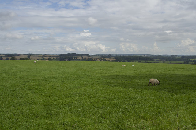
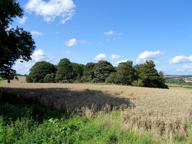
Coppice Ponds is a stunning freshwater marsh located in Derbyshire, England. The site is a combination of lakes, pools, and ponds that form a beautiful and diverse ecosystem. Spanning over a vast area, Coppice Ponds is renowned for its natural beauty and rich biodiversity.
The ponds and lakes at Coppice Ponds are fed by freshwater streams and rainfall, ensuring a constant supply of clean water. This creates an ideal habitat for a wide range of aquatic plants and animals. The area is known for its lush vegetation, with reeds, rushes, and water lilies lining the edges of the ponds.
The freshwater marsh is home to a plethora of wildlife species. Visitors can spot a variety of bird species such as herons, kingfishers, and ducks, as they make their home in the reed beds and surrounding trees. The ponds also support a diverse population of fish, including perch, roach, and carp.
Coppice Ponds provides a tranquil environment for visitors to enjoy nature. There are well-maintained walking trails and viewing platforms that allow visitors to explore the area and observe the wildlife without disturbing their natural habitat. The site is a popular destination for nature enthusiasts, birdwatchers, and photographers due to its picturesque scenery and abundant wildlife.
Additionally, Coppice Ponds serves as an important conservation area. The management of the site includes regular monitoring and maintenance to preserve the delicate balance of the ecosystem. Local authorities and conservation organizations work together to protect the habitat and ensure the sustainability of the wildlife that depends on it.
In summary, Coppice Ponds in Derbyshire offers a captivating glimpse into the wonders of a freshwater marsh. With its diverse flora and fauna, it provides a haven for both wildlife and nature enthusiasts alike.
If you have any feedback on the listing, please let us know in the comments section below.
Coppice Ponds Images
Images are sourced within 2km of 52.956968/-1.5735003 or Grid Reference SK2840. Thanks to Geograph Open Source API. All images are credited.


Coppice Ponds is located at Grid Ref: SK2840 (Lat: 52.956968, Lng: -1.5735003)
Administrative County: Derbyshire
District: Amber Valley
Police Authority: Derbyshire
What 3 Words
///hung.ruled.cope. Near Duffield, Derbyshire
Nearby Locations
Related Wikis

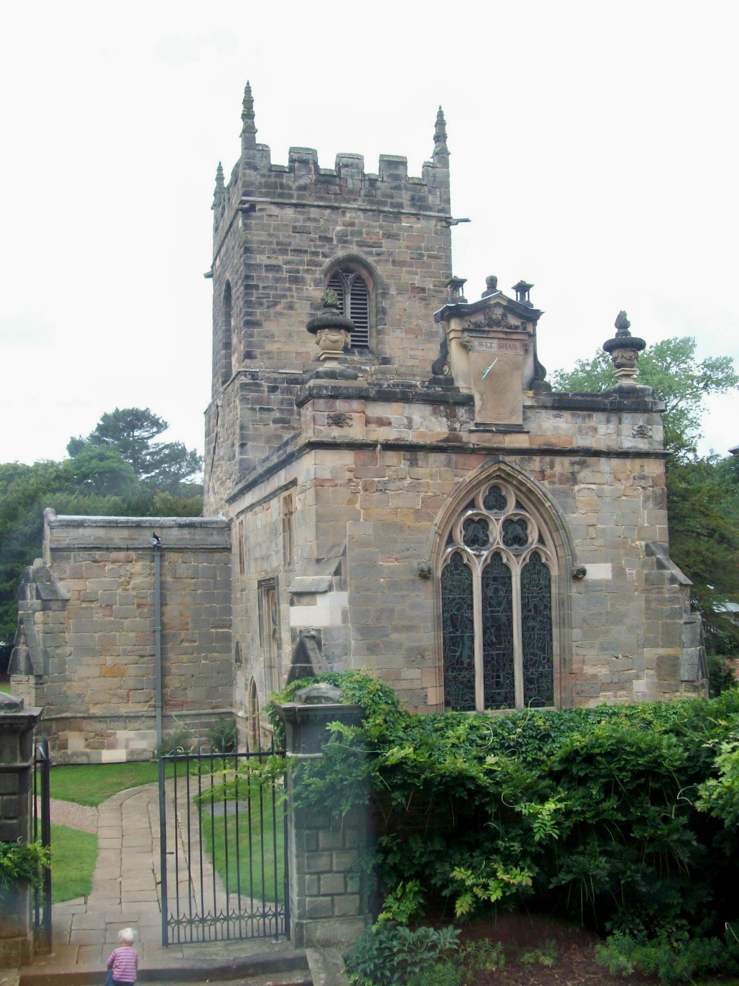
St Michael's Church, Kirk Langley
St Michael's Church, Kirk Langley is a Grade I listed parish church in the Church of England in Kirk Langley, Derbyshire. == History == The church dates...
Kirk Langley
Kirk Langley is a village and civil parish in Derbyshire. The village is 4 miles (6.4 km) northwest of Derby and 2 miles (3.2 km) south east of Brailsford...

Meynell Langley
Meynell Langley is a small area of settlement in Derbyshire, England. It is located between Kirk Langley and Kedleston. Meynell Langley Hall is the ancestral...
Kedleston
Kedleston is a village and civil parish in the Amber Valley district of Derbyshire, approximately 4 miles (6.4 km) north-west of Derby. Nearby places include...
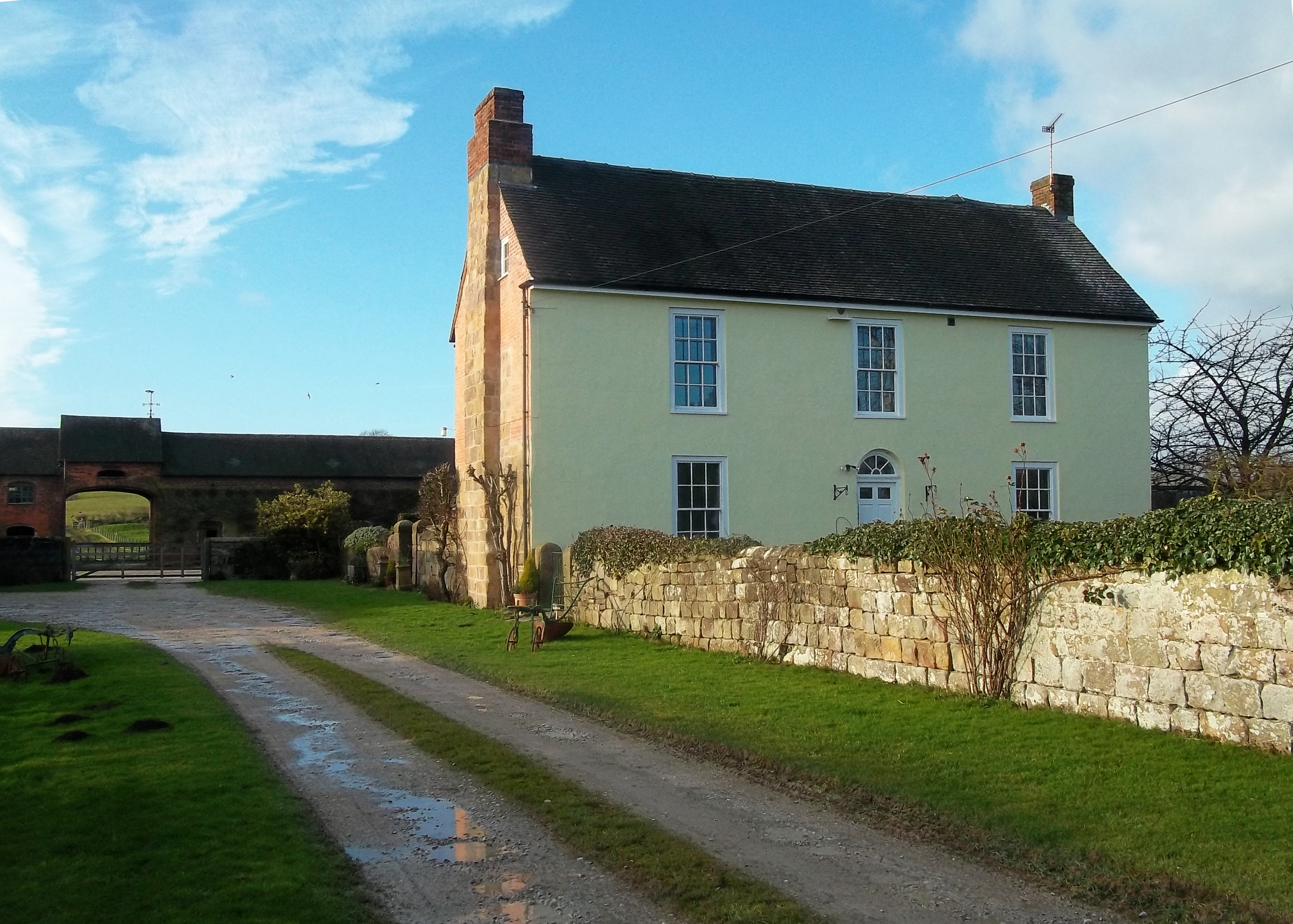
Mercaston Hall
Mercaston Hall is a 16th-century timber framed farmhouse within the hamlet of Mercaston, near the market town of Ashbourne, Derbyshire, England. It is...
All Saints Church, Kedleston
All Saints' Church, Kedleston, is a redundant Anglican Church approx. 4 miles [6km] north-west of Derby, and all that remains of the medieval village of...

Weston Underwood, Derbyshire
Weston Underwood is an agricultural village and civil parish in the Amber Valley district of Derbyshire. The population of the Civil Parish (comprising...

Kedleston Hall
Kedleston Hall is a neo-classical manor house owned by the National Trust, and seat of the Curzon family, located in Kedleston, Derbyshire, approximately...
Nearby Amenities
Located within 500m of 52.956968,-1.5735003Have you been to Coppice Ponds?
Leave your review of Coppice Ponds below (or comments, questions and feedback).