Mill Loch
Lake, Pool, Pond, Freshwater Marsh in Shetland
Scotland
Mill Loch
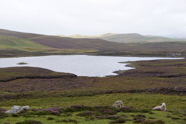
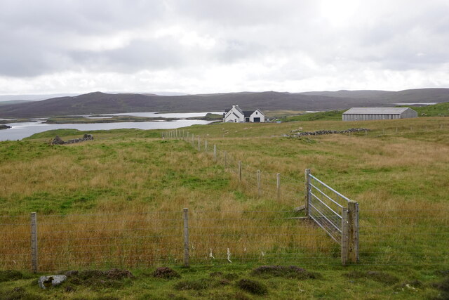
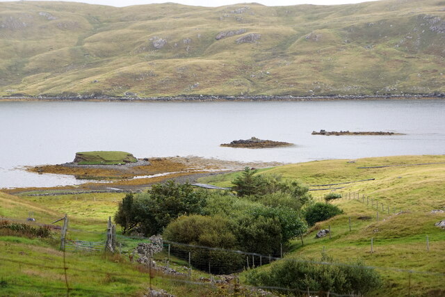
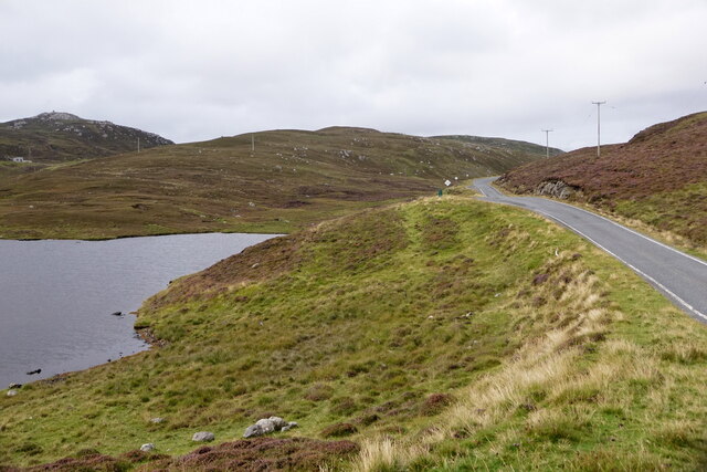
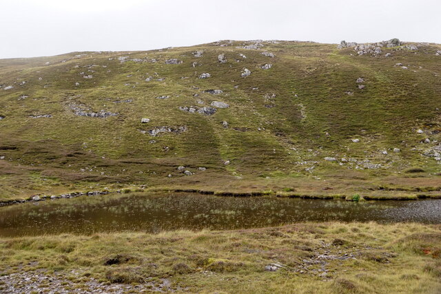
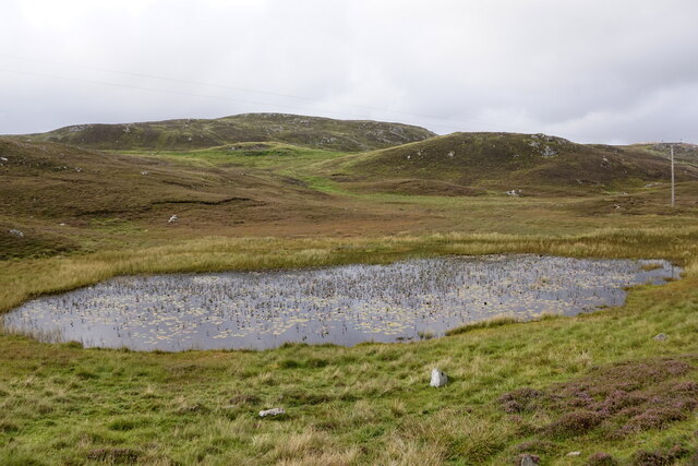
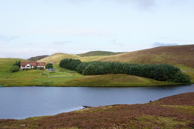
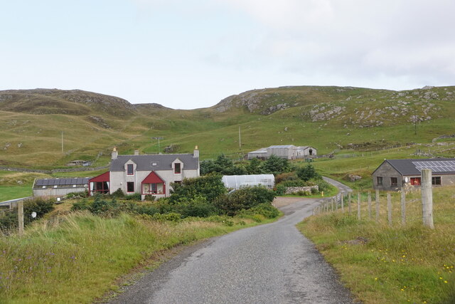
Mill Loch is a picturesque freshwater loch located on the island of Shetland, Scotland. Nestled amidst rolling hills and lush greenery, this enchanting body of water is renowned for its natural beauty and diverse ecosystem. Spanning approximately 0.6 square kilometers, Mill Loch is classified as a small lake or pond and serves as an important freshwater resource for the surrounding area.
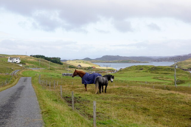
Surrounded by a mixture of heathland, peat bog, and woodland, the loch is a haven for a wide range of flora and fauna. The surrounding vegetation includes reeds, rushes, and various aquatic plants, providing a habitat for numerous species of birds, insects, and small mammals. Bird enthusiasts will be delighted to spot a variety of waterfowl, such as mallards, tufted ducks, and teal, along with wading birds like lapwings and snipe.
The loch's water is generally clear and cool, owing to its freshwater source and the absence of major pollution sources in the area. This pristine environment supports a diverse population of fish, including brown trout, which attracts anglers from far and wide. Fishing is a popular activity at Mill Loch, and visitors can enjoy the tranquil surroundings while attempting to catch a prized trout.
Mill Loch is a favorite spot for nature lovers, providing opportunities for peaceful walks along its shores or picnics in the adjacent meadows. The tranquility and natural beauty of the area make it an ideal destination for those seeking a peaceful escape from the bustling city life.
If you have any feedback on the listing, please let us know in the comments section below.
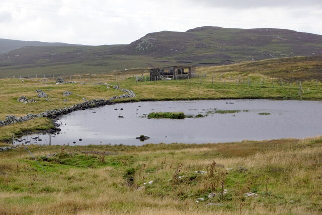
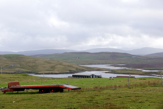
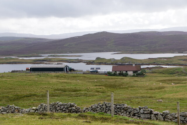
Mill Loch Images
Images are sourced within 2km of 60.294601/-1.4983622 or Grid Reference HU2756. Thanks to Geograph Open Source API. All images are credited.


Mill Loch is located at Grid Ref: HU2756 (Lat: 60.294601, Lng: -1.4983622)
Unitary Authority: Shetland Islands
Police Authority: Highlands and Islands
What 3 Words
///inspects.dished.comments. Near Aith, Shetland Islands
Nearby Locations
Related Wikis

Brindister, West Mainland
Brindister is a settlement on the West Mainland of Shetland, Scotland. It is within the parish of Sandsting, and on the western shore of Brindister Voe...

Broch of West Burrafirth
The Broch of West Burrafirth is an Iron Age broch located on the west side of Mainland, Shetland (grid reference HU25625720). == Location == The broch...

Clousta
Clousta is a hamlet on Mainaland, in the island's west, Shetland, Scotland. Approximately seventy people live here, many of whom are commuters, but local...

Vementry
Vementry (Old Norse: "Vemunðarey") is an uninhabited Scottish island in Shetland on the north side of the West Mainland, lying south of Muckle Roe. �...

Linga (near Vementry)
Linga is one of the Shetland Islands, near Vementry. It is one of many islands in Shetland called Linga. The island is uninhabited. == Geography and... ==

West Mainland
The West Mainland of the Shetland Islands is the part of the Shetland Mainland lying west of Aith (1° 23′ W). == Geography == Points of interest include...
Park Hall, Shetland
Park Hall is a derelict laird's house situated west of the village of Bixter, in the parish of Sandsting on the Mainland of Shetland, Scotland. It has...

Scord of Brouster
The Scord of Brouster is one of the earliest Neolithic farm sites in Shetland, Scotland. It has been dated to 2220 BC with a time window of 80 years on...
Nearby Amenities
Located within 500m of 60.294601,-1.4983622Have you been to Mill Loch?
Leave your review of Mill Loch below (or comments, questions and feedback).