Loomi Shun

Lake, Pool, Pond, Freshwater Marsh in Shetland

Scotland

Loomi Shun

North Head, Tingon, from Leascole, Eshaness
North Head, Tingon, from Leascole, Eshaness Credit: Mike Pennington

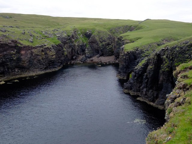
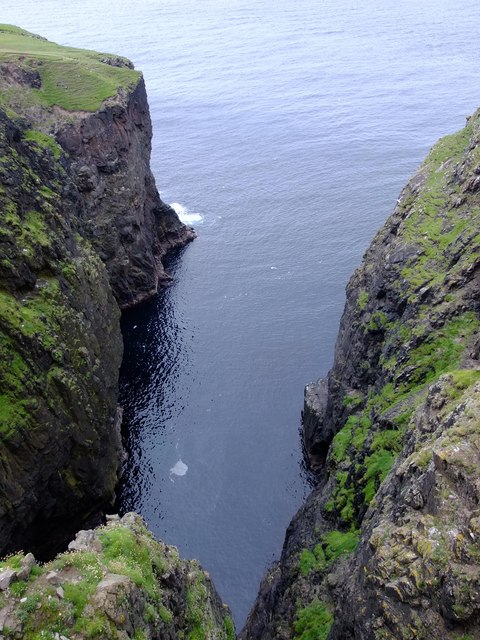
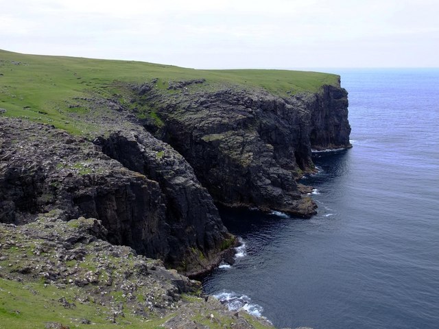
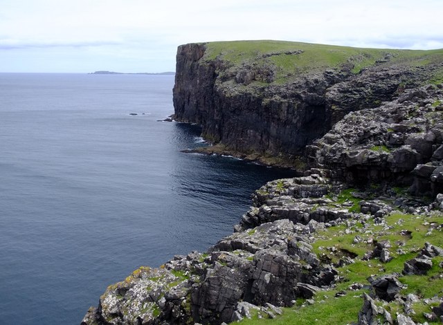
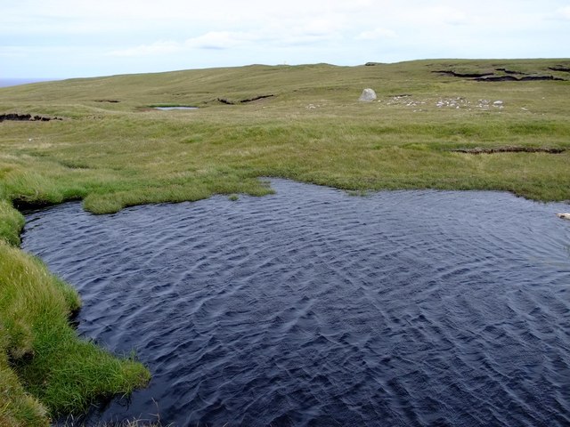
Loomi Shun is a picturesque freshwater loch located in the Shetland Islands, Scotland. Nestled amidst rolling hills and lush green landscapes, this natural water body offers a serene and tranquil environment for visitors to enjoy.

Covering an area of approximately 1.5 hectares, Loomi Shun is a relatively small lake, yet it possesses a unique charm and beauty. The calm and still waters of the loch reflect the surrounding scenery, creating a stunning mirror-like effect that is truly captivating. The lake is surrounded by a diverse range of vegetation, including reeds, rushes, and various types of water plants, adding to its natural appeal.

Loomi Shun is a haven for wildlife enthusiasts, as it is home to a variety of bird species and other aquatic creatures. Visitors can often spot ducks, swans, and geese gracefully gliding across the lake's surface, while herons can be seen patiently stalking their prey along the water's edge. The loch also hosts a rich diversity of fish, including brown trout, which makes it a popular destination for anglers seeking a peaceful fishing experience.

In addition to its natural beauty, Loomi Shun offers recreational activities such as boating and kayaking. Its calm waters and tranquil atmosphere make it an ideal spot for leisurely paddling or simply enjoying the scenic surroundings.

Overall, Loomi Shun is a hidden gem in the Shetland Islands, offering visitors a peaceful retreat amidst breathtaking natural beauty. Whether you're a nature lover, angler, or simply seeking solitude, this freshwater loch is a must-visit destination.

If you have any feedback on the listing, please let us know in the comments section below.
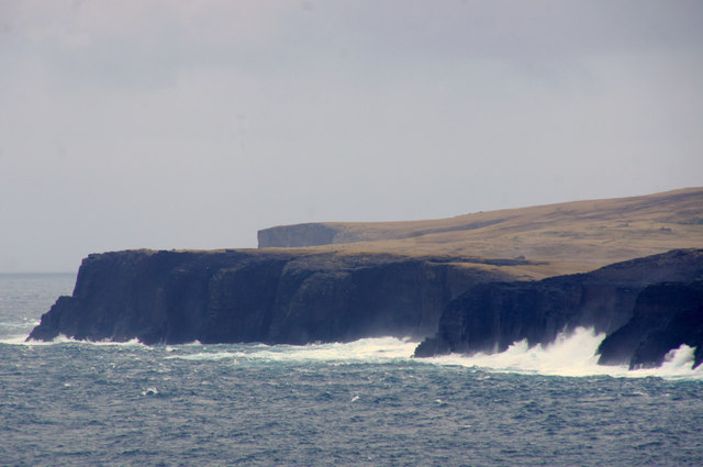
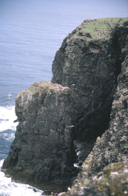
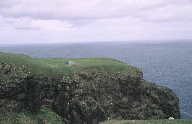
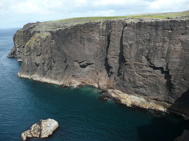
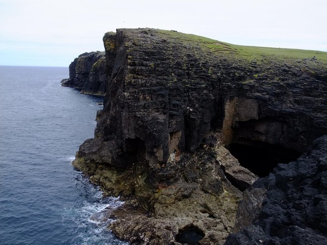
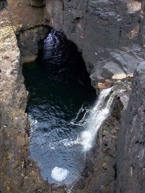
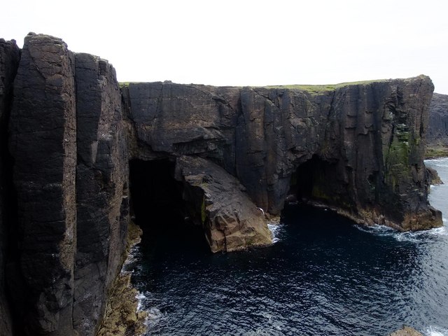
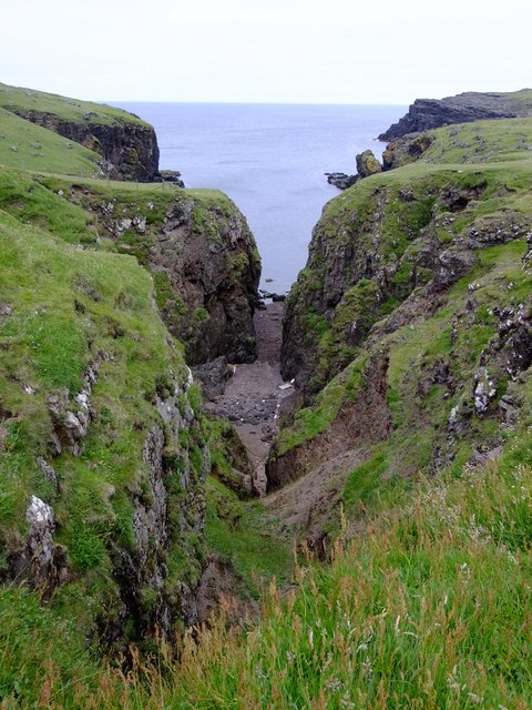
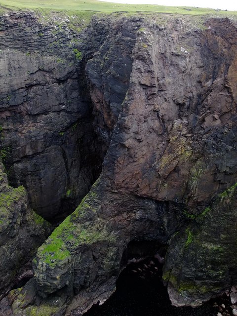
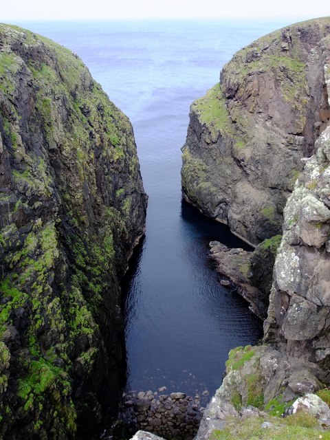
Loomi Shun Images

Images are sourced within 2km of 60.543057/-1.5381788 or Grid Reference HU2584. Thanks to Geograph Open Source API. All images are credited.

North Head, Tingon, from Leascole, Eshaness
The Faither Sea Cliffs in this area are mostly loose and somewhat dangerous, but in places the sea keeps the base 30m or so relatively clean.  The pocketed rock provides perfect nesting locations for Fulmars.
The Faither
Sea Cliffs in this area are mostly loose and somewhat dangerous, but in places the sea keeps the base 30m or so relatively clean. The pocketed rock provides perfect nesting locations for Fulmars.
Headland across Galti Geo This land shows signs of recent usage as pasture but is now mostly occupied by a large variety of birdlife.  Many gulls and fulmars can be seen here nesting on the cliffs
Headland across Galti Geo
This land shows signs of recent usage as pasture but is now mostly occupied by a large variety of birdlife. Many gulls and fulmars can be seen here nesting on the cliffs
Tingon croft house
Tingon croft house
Seacliffs south of North Head
Headland at Warie Gill The huge black hole on the right of the picture is one end of a natural arch.  The Burn of Tingon falls in a 10 m waterfall into the sea at the end of this arch.
Headland at Warie Gill
The huge black hole on the right of the picture is one end of a natural arch. The Burn of Tingon falls in a 10 m waterfall into the sea at the end of this arch.
Burn of Tingon at Warie Gill The Burn of Tingon descends in a 10m waterfall into Warie Gill (a geo) which is at one end of a natural arch.  There is a climbing rope in the picture, and the quality of the sea cliffs here yields some stunning and probably unclimbed routes.
Burn of Tingon at Warie Gill
The Burn of Tingon descends in a 10m waterfall into Warie Gill (a geo) which is at one end of a natural arch. There is a climbing rope in the picture, and the quality of the sea cliffs here yields some stunning and probably unclimbed routes.
Sea caves at North Head These caves are at the base of 50 m sheer cliffs.  Cormorants and fulmars are plentiful here.
Sea caves at North Head
These caves are at the base of 50 m sheer cliffs. Cormorants and fulmars are plentiful here.
Geo of Ockran, North Head
Looking SE down the Geo of Ockran
Gorsendi Geo The cliffs are between 50 and 70 metres high.  The southern slopes had many hundreds of Greylag Geese, grazing on the rich grassland.
Gorsendi Geo
The cliffs are between 50 and 70 metres high. The southern slopes had many hundreds of Greylag Geese, grazing on the rich grassland.
Bay Hevda from Clew Head
Sheep folds, Clew Head These sheep folds use the sides of a narrow ravine to form the edges of the enclosures.  There are similar examples in HU3072, above South Sound in Mangaster.
Sheep folds, Clew Head
These sheep folds use the sides of a narrow ravine to form the edges of the enclosures. There are similar examples in HU3072, above South Sound in Mangaster.
Clew Head from Bay Hevda
Ler Geo These tremendous cliffs at the head of the Geo are about 80 m high.
Ler Geo
These tremendous cliffs at the head of the Geo are about 80 m high.
Ler Geo
Ler Geo
Trig Point  107 m, above The Faither Oddly, this peninsula north of Hamnavoe has no name on any maps, large or small scale.  Local names only cover small areas of terrain (e.g. Villains of Hamnavoe, The Faither, etc.), and locals in Hillswick don't know any names either.  Can anyone out there offer any help or suggestions?
Trig Point 107 m, above The Faither
Oddly, this peninsula north of Hamnavoe has no name on any maps, large or small scale. Local names only cover small areas of terrain (e.g. Villains of Hamnavoe, The Faither, etc.), and locals in Hillswick don't know any names either. Can anyone out there offer any help or suggestions?
Galti Stack
Galti Stack
Show me another place!

Loomi Shun is located at Grid Ref: HU2584 (Lat: 60.543057, Lng: -1.5381788)

Unitary Authority: Shetland Islands

Police Authority: Highlands and Islands

What 3 Words

///amaze.goad.random. Near Brae, Shetland Islands

Related Wikis

Tingon

Tingon is a peninsula in the north-west of Northmavine, Shetland. It is delineated on the east by Ronas Voe, and on the west by Hamnavoe. It is designated...

Lang Ayre

The Lang Ayre is a beach on the west side of Ronas Hill, Northmavine, Shetland. At 1 kilometre (0.6 mi) in length it is the archipelago's longest. It is...

Ronas Voe

Ronas Voe (pronounced [ˈrø̞nis ˌvo̞:] Shaetlan: Rønies Voe) is a voe in Northmavine, Shetland. It divides the land between Ronas Hill, Shetland's tallest...

Johnnie Notions

John Williamson (c. 1730 – c. 1803), more commonly known by the nickname Johnnie Notions (pronounced [ˌdʒoni ˈnoʃəns], JOH-nee-NOH-shəns) was a self-taught...

Have you been to Loomi Shun?

Leave your review of Loomi Shun below (or comments, questions and feedback).