Lergeo Water
Lake, Pool, Pond, Freshwater Marsh in Shetland
Scotland
Lergeo Water
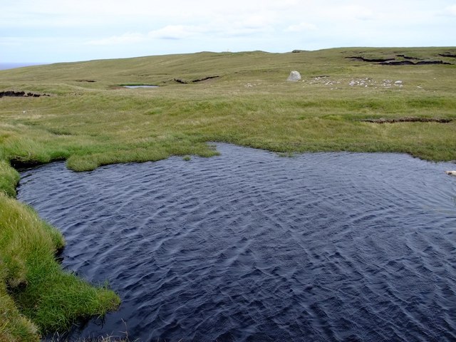
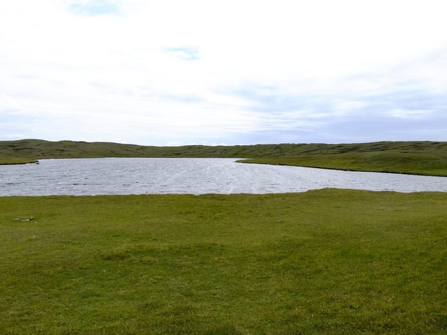
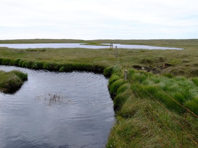
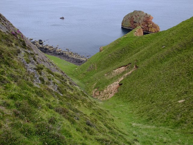
Lergeo Water is a freshwater loch located in the Shetland Islands, which are part of Scotland. This stunning body of water is situated in the central part of Mainland, the largest island in the archipelago. Lergeo Water is known for its natural beauty and serene atmosphere, making it a popular destination for both locals and tourists.
Covering an area of approximately 2.5 hectares, Lergeo Water is relatively small in size compared to some of the other lochs in the region. It is surrounded by lush green vegetation, including reeds and grasses, which provide a picturesque backdrop to the tranquil waters. The loch is fed by several small streams and springs, ensuring a constant flow of freshwater.
The water in Lergeo Water is clear and inviting, making it ideal for various recreational activities. Fishing enthusiasts are drawn to the loch, as it is home to a variety of fish species, including brown trout. It is not uncommon to see anglers casting their lines from the banks or small boats.
The surrounding area is rich in wildlife, with numerous bird species making Lergeo Water their home or using it as a stopover during migration. Birdwatchers can often spot species such as swans, ducks, and herons, among others.
Lergeo Water offers a peaceful and tranquil environment for visitors to enjoy. Whether it's taking a leisurely stroll along the shores, birdwatching, or simply admiring the natural beauty, this freshwater loch is a must-visit destination for nature lovers in Shetland.
If you have any feedback on the listing, please let us know in the comments section below.
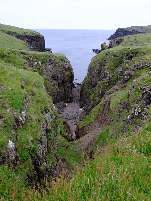
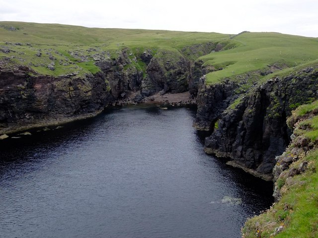
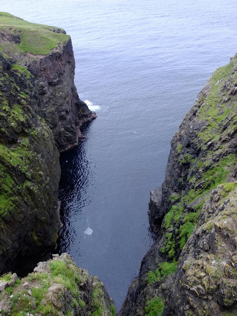
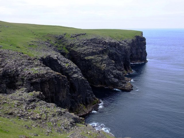
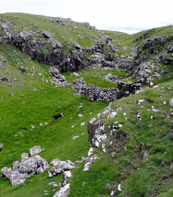
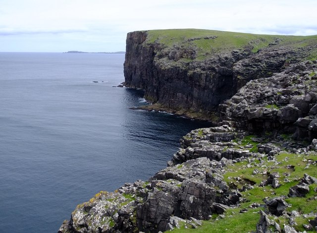
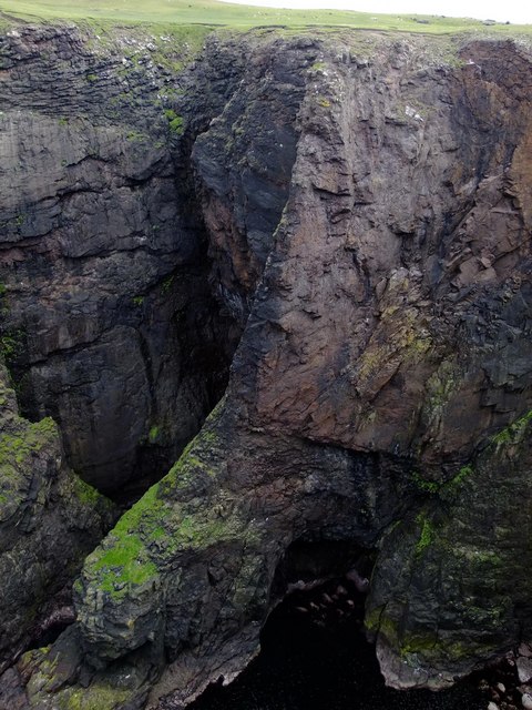
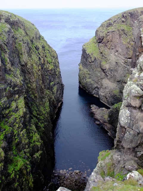
Lergeo Water Images
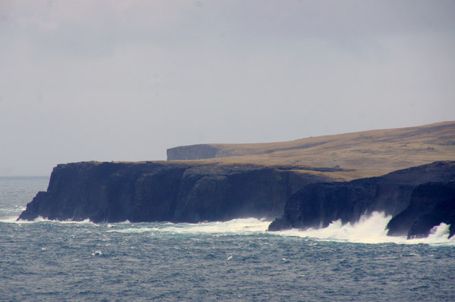
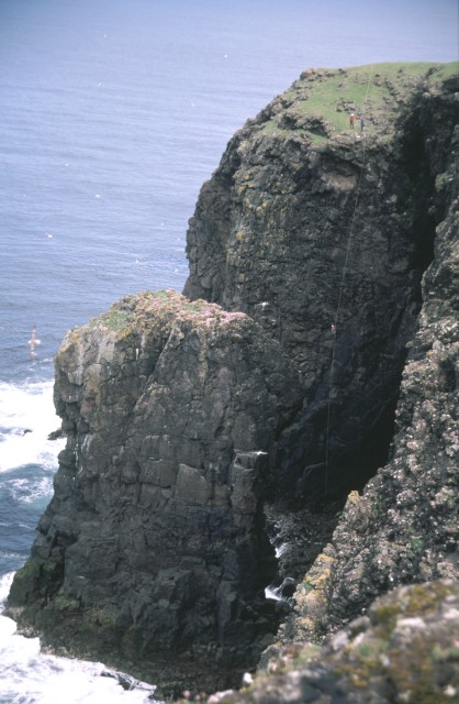
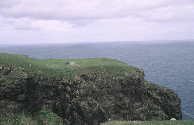
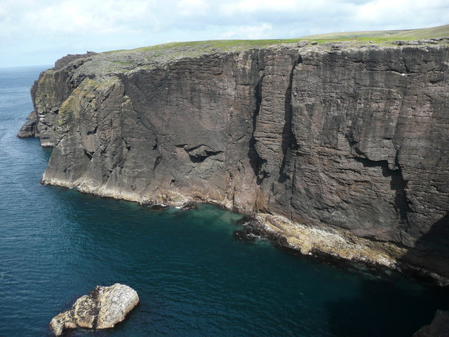
Images are sourced within 2km of 60.546476/-1.5401354 or Grid Reference HU2584. Thanks to Geograph Open Source API. All images are credited.

Lergeo Water is located at Grid Ref: HU2584 (Lat: 60.546476, Lng: -1.5401354)
Unitary Authority: Shetland Islands
Police Authority: Highlands and Islands
What 3 Words
///exhaling.invest.exposing. Near Brae, Shetland Islands
Nearby Locations
Related Wikis

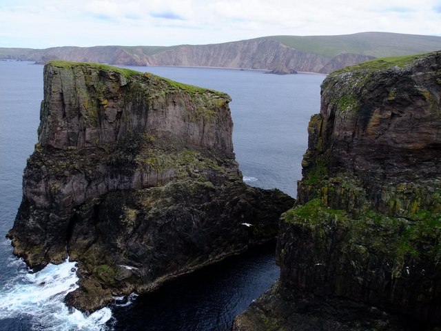
Tingon
Tingon is a peninsula in the north-west of Northmavine, Shetland. It is delineated on the east by Ronas Voe, and on the west by Hamnavoe. It is designated...

Lang Ayre
The Lang Ayre is a beach on the west side of Ronas Hill, Northmavine, Shetland. At 1 kilometre (0.6 mi) in length it is the archipelago's longest. It is...

Ronas Voe
Ronas Voe (pronounced [ˈrø̞nis ˌvo̞:] Shetland Dialect: Rønies Voe) is a voe in Northmavine, Shetland. It divides the land between Ronas Hill, Shetland...

Johnnie Notions
John Williamson (c. 1730 – c. 1803), more commonly known by the nickname Johnnie Notions (pronounced [ˌdʒoni ˈnoʃəns], JOH-nee-NOH-shəns) was a self-taught...
Have you been to Lergeo Water?
Leave your review of Lergeo Water below (or comments, questions and feedback).