Backwell Common
Settlement in Somerset
England
Backwell Common

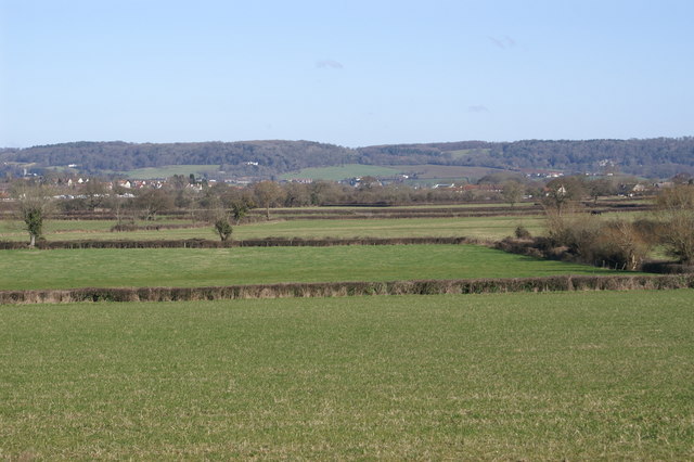
Backwell Common is a picturesque nature reserve located in the village of Backwell, Somerset, England. Spanning approximately 160 acres, it is a designated Site of Special Scientific Interest (SSSI) and is managed by the Backwell Environment Trust.
The common is characterized by its diverse array of habitats, including ancient woodland, wet meadows, and species-rich grasslands. This variety of ecosystems supports a wide range of flora and fauna, making it a haven for wildlife enthusiasts and nature lovers alike. Visitors can spot an abundance of bird species, such as skylarks, yellowhammers, and buzzards, as well as various butterflies, dragonflies, and wildflowers.
The common offers several walking trails, allowing visitors to explore its natural beauty at their own pace. These paths wind through the woodland and open meadows, offering breathtaking views of the surrounding countryside. The common also features a picnic area, providing a perfect spot for visitors to relax and enjoy the tranquil surroundings.
In addition to its natural charm, Backwell Common holds historical significance. It is believed to have been used as common land for centuries, serving as a vital resource for the local community. Today, it continues to be an important green space for both recreational and conservation purposes.
Overall, Backwell Common is a cherished natural gem that offers a peaceful retreat from the hustle and bustle of daily life. Its rich biodiversity, scenic landscapes, and historical value make it a must-visit destination for anyone seeking a connection with nature in Somerset.
If you have any feedback on the listing, please let us know in the comments section below.
Backwell Common Images
Images are sourced within 2km of 51.425814/-2.737798 or Grid Reference ST4869. Thanks to Geograph Open Source API. All images are credited.


Backwell Common is located at Grid Ref: ST4869 (Lat: 51.425814, Lng: -2.737798)
Unitary Authority: North Somerset
Police Authority: Avon and Somerset
What 3 Words
///liability.bravo.shins. Near Nailsea, Somerset
Nearby Locations
Related Wikis
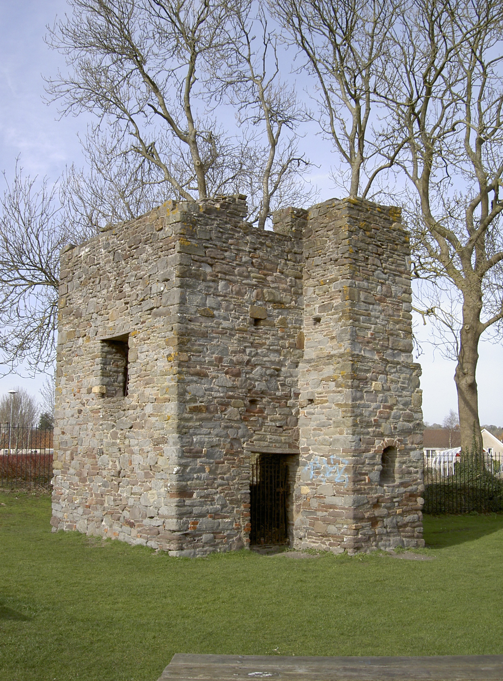
Elms colliery
Elms Colliery (also known as Middle Engine Pit) is a disused coal mine in Nailsea within the English County of Somerset. It has been scheduled as an ancient...
Backwell School
Backwell School is a secondary academy school in Backwell, Bristol, Somerset, England. It was considered to be one of the best-performing state schools...

Nailsea and Backwell railway station
Nailsea and Backwell railway station, on the Bristol to Exeter line, is in the village of Backwell, close to the town of Nailsea in North Somerset, England...
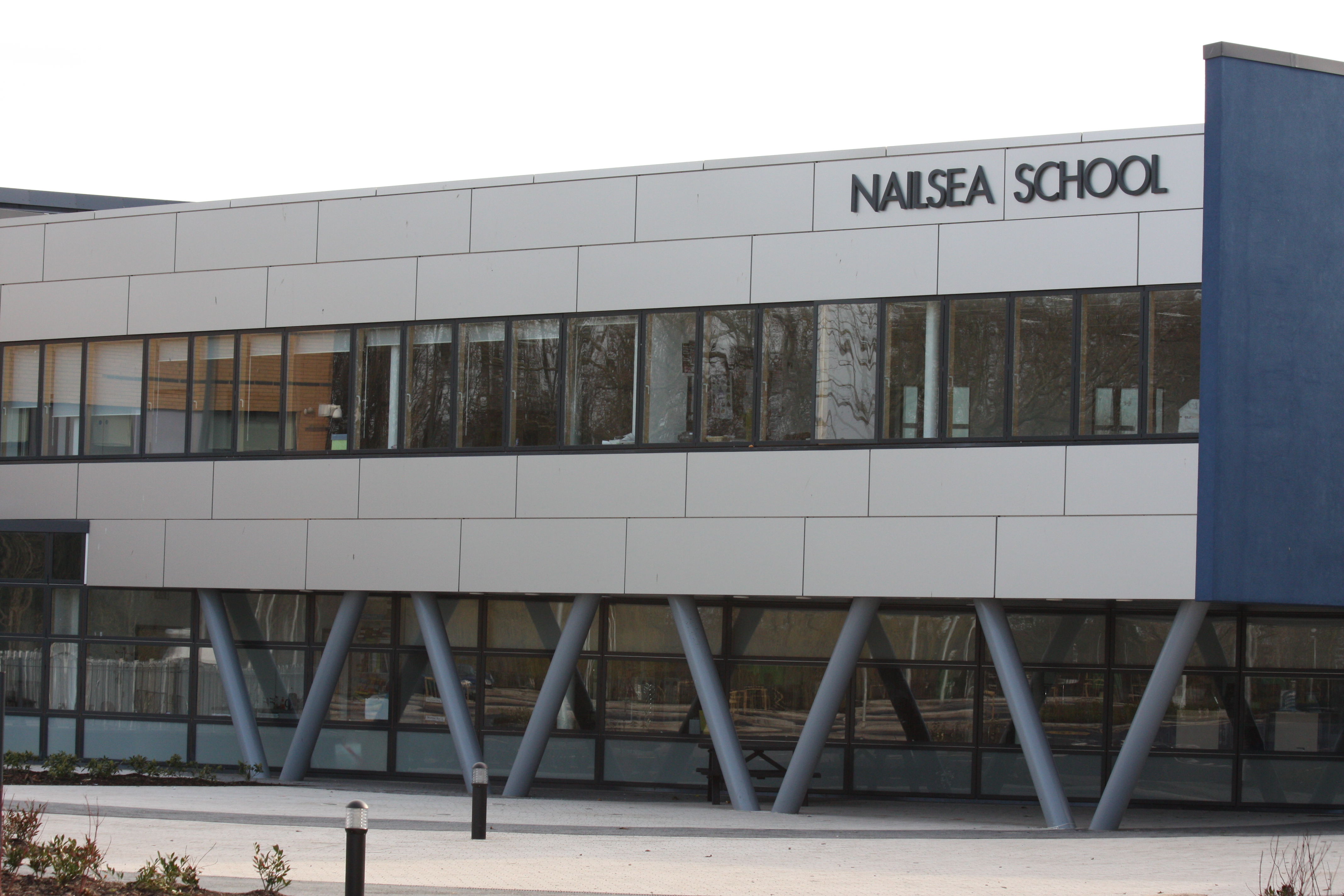
Nailsea School
Nailsea School, located in Nailsea, North Somerset, England, is a mixed secondary school and sixth form. It has Technology and Media Arts College specialist...
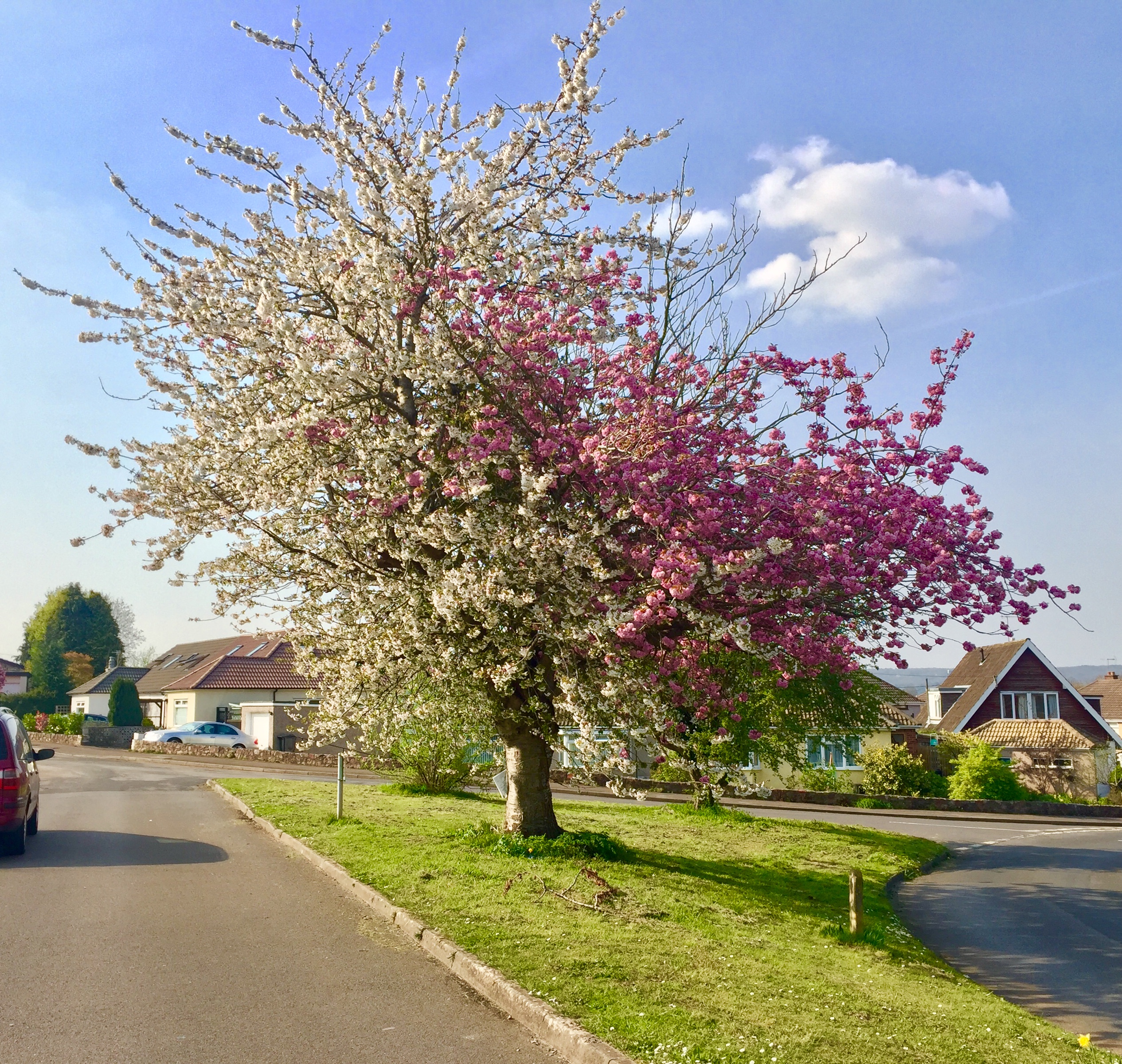
Strawberries and Cream Tree
The Strawberries and Cream Tree is a graft hybrid cherry tree (of Prunus avium and P. serrulata 'Kanzan') in Backwell, North Somerset, England. Planted...

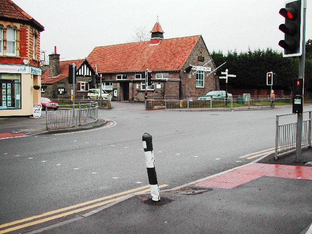
Backwell
Backwell is a village and civil parish in the unitary authority of North Somerset and in 2011 had a population of 4,589. The village lies about 7 miles...
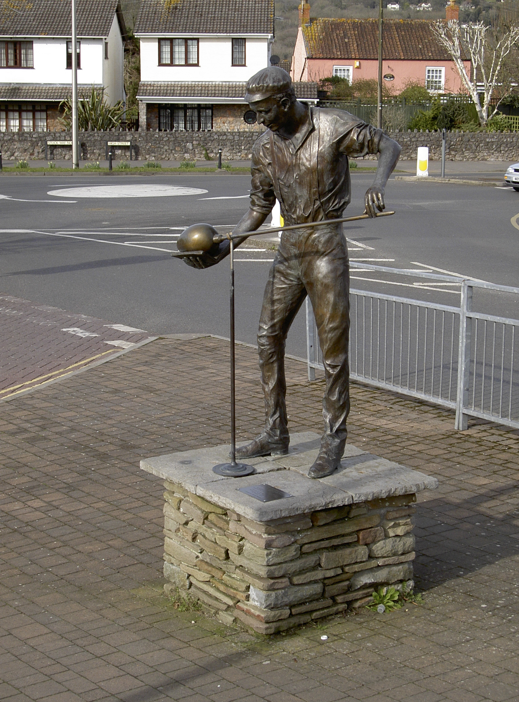
Nailsea Glassworks
Nailsea Glassworks was a glass manufacturing factory in Nailsea in the English county of Somerset. The remaining structures have been designated as a scheduled...

Backwell House
Backwell House, in Backwell, Somerset, England is a house of historical significance and is listed on the English Heritage Register. The house and entrance...
Nearby Amenities
Located within 500m of 51.425814,-2.737798Have you been to Backwell Common?
Leave your review of Backwell Common below (or comments, questions and feedback).