Ashdod Pond
Lake, Pool, Pond, Freshwater Marsh in Wiltshire
England
Ashdod Pond
Ashdod Pond, located in Wiltshire, is a picturesque freshwater marsh that offers a tranquil and scenic environment for visitors to enjoy. With its diverse ecosystem and stunning natural beauty, it has become a popular destination for nature enthusiasts and birdwatchers alike.
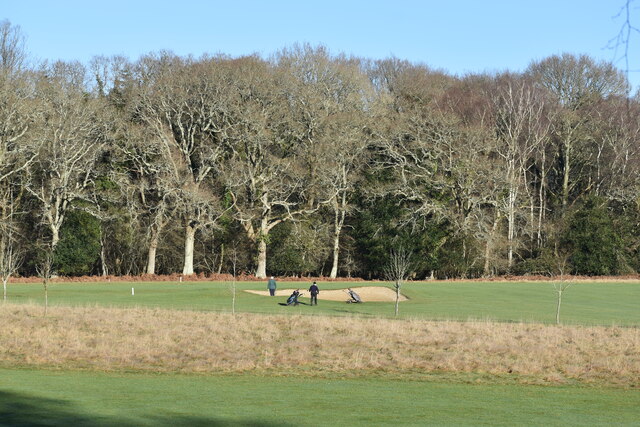
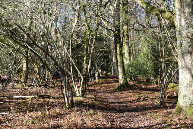
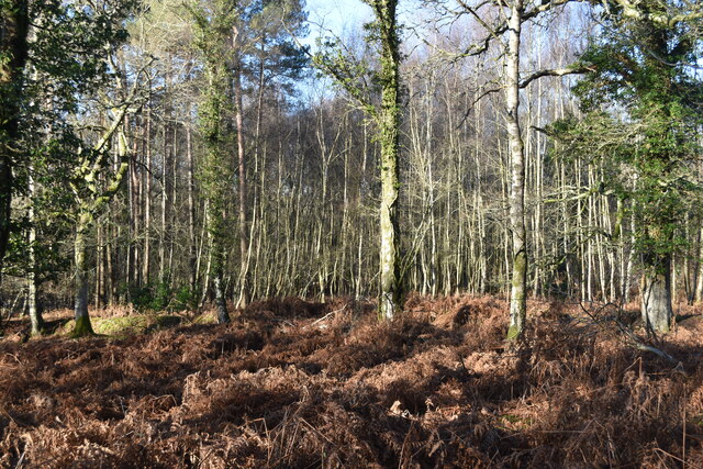
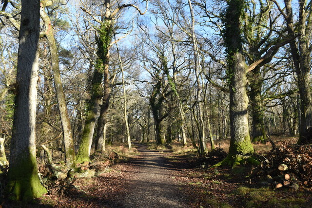
Covering an area of approximately 10 acres, Ashdod Pond is characterized by its calm, still waters and lush vegetation that surrounds its shores. The pond is surrounded by rolling hills and woodlands, providing a serene backdrop to the natural landscape. The water is clear and clean, supporting a wide variety of aquatic plants and attracting an abundance of wildlife.
The pond is home to numerous species of birds, making it a haven for birdwatchers. Visitors can spot a range of waterfowl, including ducks, geese, and swans, as well as other avian species such as herons and kingfishers. The surrounding woodland and marshland also attract a diverse array of land-based wildlife, including rabbits, deer, and various small mammals.
In addition to its natural beauty and wildlife, Ashdod Pond offers recreational opportunities for visitors. Fishing is a popular activity, with anglers enjoying the chance to catch various freshwater fish species, such as perch and roach. The pond also has designated walking trails, allowing visitors to explore the surrounding area and soak in the tranquil atmosphere.
Overall, Ashdod Pond in Wiltshire is a stunning freshwater marsh that provides a peaceful retreat for nature lovers. Its diverse ecosystem, scenic surroundings, and recreational activities make it a must-visit destination for anyone seeking to connect with nature in a serene setting.
If you have any feedback on the listing, please let us know in the comments section below.
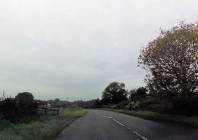
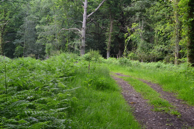
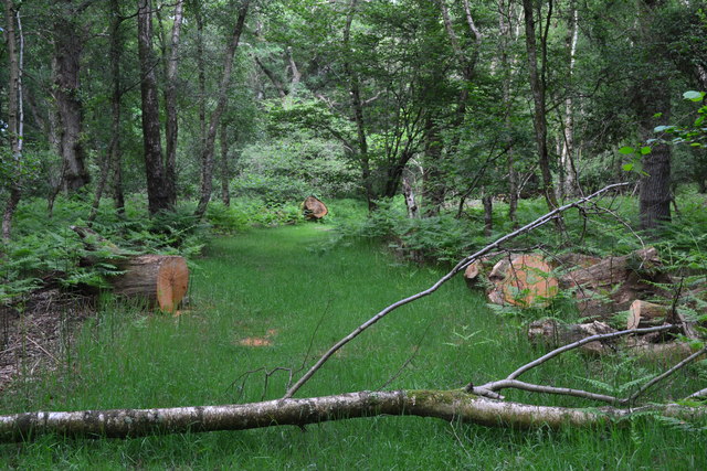
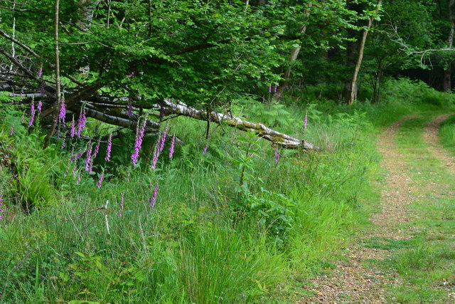
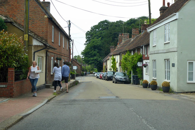
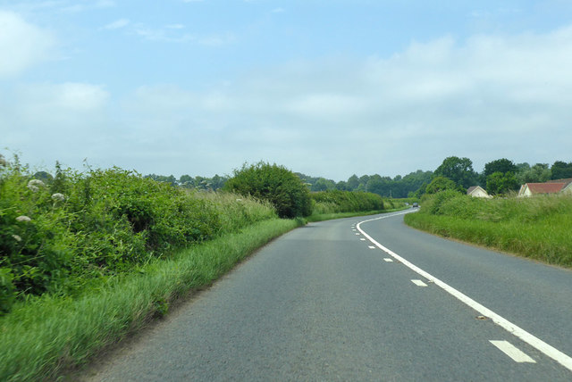
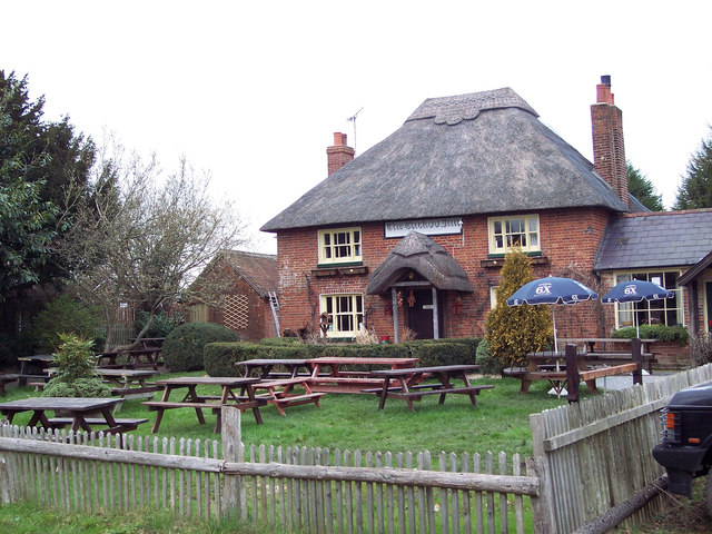
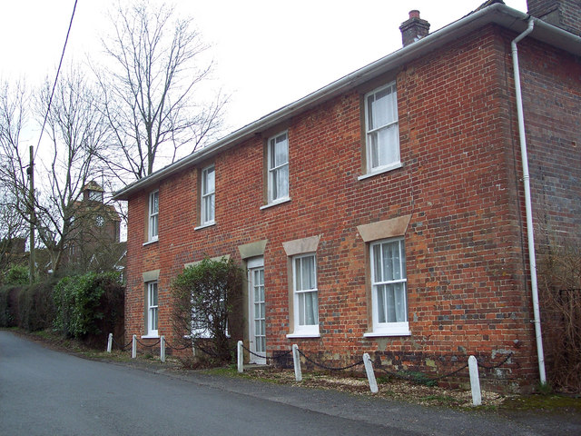
Ashdod Pond Images
Images are sourced within 2km of 50.99931/-1.6728414 or Grid Reference SU2322. Thanks to Geograph Open Source API. All images are credited.


Ashdod Pond is located at Grid Ref: SU2322 (Lat: 50.99931, Lng: -1.6728414)
Unitary Authority: Wiltshire
Police Authority: Wiltshire
What 3 Words
///protect.music.mountains. Near Whiteparish, Wiltshire
Nearby Locations
Related Wikis

Langley Wood and Homan's Copse
Langley Wood and Homan's Copse (grid reference SU230206) is a 219.28 hectare biological Site of Special Scientific Interest in Wiltshire, notified in 1985...

Whiteparish
Whiteparish is a village and civil parish on the A27 about 7.5 miles (12.1 km) southeast of Salisbury in Wiltshire, England. The village is about 1.5...

Whiteparish Common
Whiteparish Common (grid reference SU255233) is a 64.5 hectare biological Site of Special Scientific Interest near Whiteparish, Wiltshire, England, notified...
Hamptworth
Hamptworth is a hamlet in Wiltshire, England, in the extreme southeast of the county. It is in the civil parish of Landford, and lies within the boundaries...
Redlynch, Wiltshire
Redlynch is a village and civil parish about 6.5 miles (10.5 km) southeast of Salisbury in Wiltshire, England. The parish includes the villages of Morgan...

Lover, Wiltshire
Lover (pronounced like Dover, ) is a small village in Wiltshire, England, close to the county border with Hampshire. It is part of the parish of Redlynch...

The Pepperbox
The Pepperbox, also known as Eyre's Folly, is a folly tower that stands near the highest point on Pepperbox Hill, the peak of a chalk ridge about 5 miles...

Loosehanger Copse and Meadows
Loosehanger Copse and Meadows (grid reference SU215195) is a 56.27 hectare biological Site of Special Scientific Interest in Wiltshire, England, notified...
Nearby Amenities
Located within 500m of 50.99931,-1.6728414Have you been to Ashdod Pond?
Leave your review of Ashdod Pond below (or comments, questions and feedback).