Black Water
Lake, Pool, Pond, Freshwater Marsh in Shetland
Scotland
Black Water

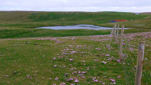
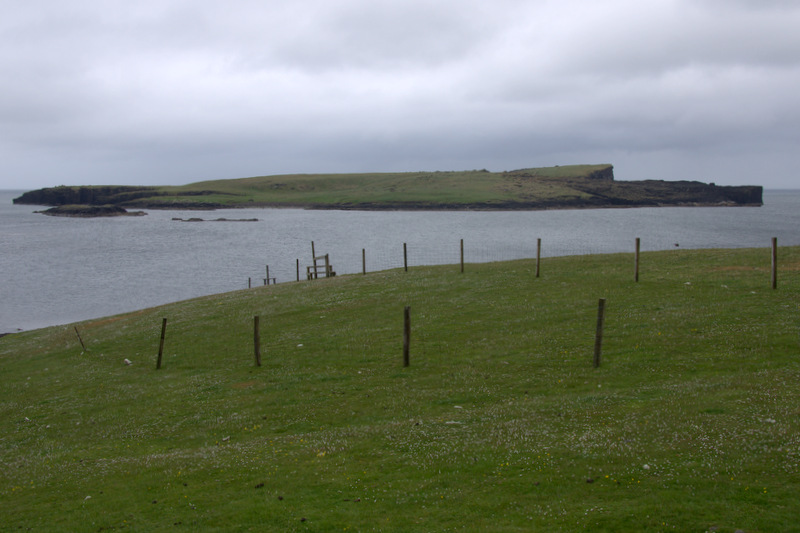
Black Water in Shetland is a prominent freshwater feature, often referred to as a lake, pool, pond, or freshwater marsh. It is located in the northernmost part of the Shetland Islands, an archipelago off the northeastern coast of Scotland. The name "Black Water" stems from the dark, peaty coloration of the water, which is a result of the abundance of decaying organic matter in the surrounding area.
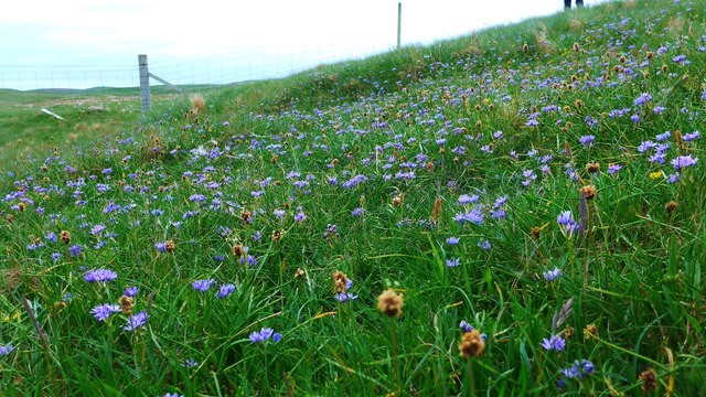
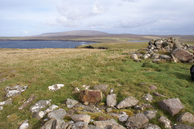
Covering an estimated area of roughly 20 hectares, Black Water is surrounded by a picturesque landscape of rolling hills and heather moorland. The water source primarily originates from rainfall and small streams, resulting in a relatively stable water level throughout the year. The surrounding vegetation is dominated by reeds, sedges, and grasses, creating an ideal habitat for a diverse range of plant and animal species.
The water body is known to support a rich biodiversity, attracting a variety of bird species, including ducks, swans, and wading birds. These avian inhabitants are often seen feeding, nesting, and migrating within the vicinity of Black Water. Additionally, the lake provides a suitable breeding ground for amphibians, such as frogs and newts, and is home to a variety of fish species, including trout and perch.
Black Water serves as an important ecological site, contributing to the overall biodiversity and ecological balance of the Shetland Islands. It also offers recreational opportunities for locals and tourists, who can enjoy activities such as birdwatching, fishing, and nature walks in the serene surroundings.
Overall, Black Water in Shetland stands as a remarkable freshwater feature, showcasing the natural beauty and ecological significance of the region.
If you have any feedback on the listing, please let us know in the comments section below.
Black Water Images
Images are sourced within 2km of 60.492014/-1.5872409 or Grid Reference HU2278. Thanks to Geograph Open Source API. All images are credited.


Black Water is located at Grid Ref: HU2278 (Lat: 60.492014, Lng: -1.5872409)
Unitary Authority: Shetland Islands
Police Authority: Highlands and Islands
What 3 Words
///recruiter.appointed.unwind. Near Brae, Shetland Islands
Nearby Locations
Related Wikis

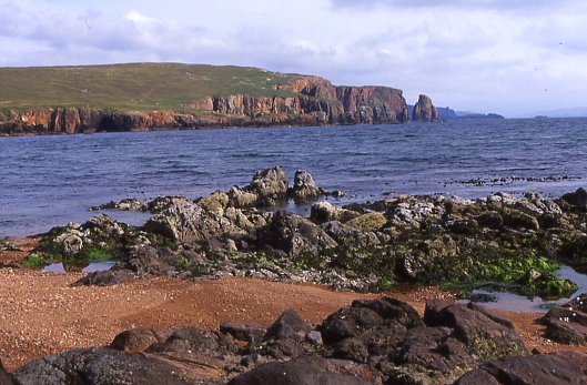
Esha Ness
Esha Ness, also spelled Eshaness, is a peninsula on the west coast of Northmavine, on the island of Mainland, Shetland, Scotland. Esha Ness Lighthouse...

Tangwick Haa
Tangwick Haa is an historic house and museum in Esha Ness, Northmavine, Shetland. The building has two stories in a rectangular layout and along with the...

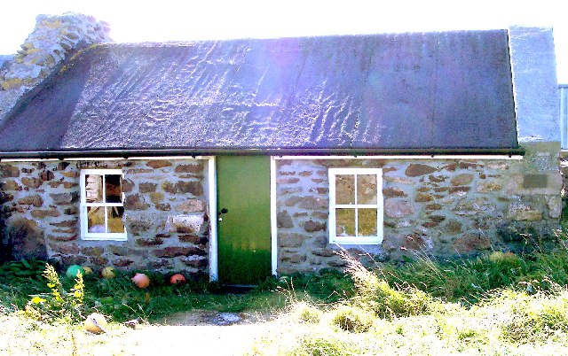
Braehoulland
Braehoulland is a hamlet on Mainland, in Shetland, Scotland. Braehoulland is situated within the parish of Northmaven. Eshaness Community Centre is located...

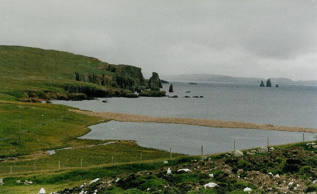
Calder's Geo
Calders Geo is an inlet in the western cliffs of Esha Ness in Northmavine on the Mainland, Shetland, Scotland. A cave on the north side of the geo has...

Johnnie Notions
John Williamson (c. 1730 – c. 1803), more commonly known by the nickname Johnnie Notions (pronounced [ˌdʒoni ˈnoʃəns], JOH-nee-NOH-shəns) was a self-taught...
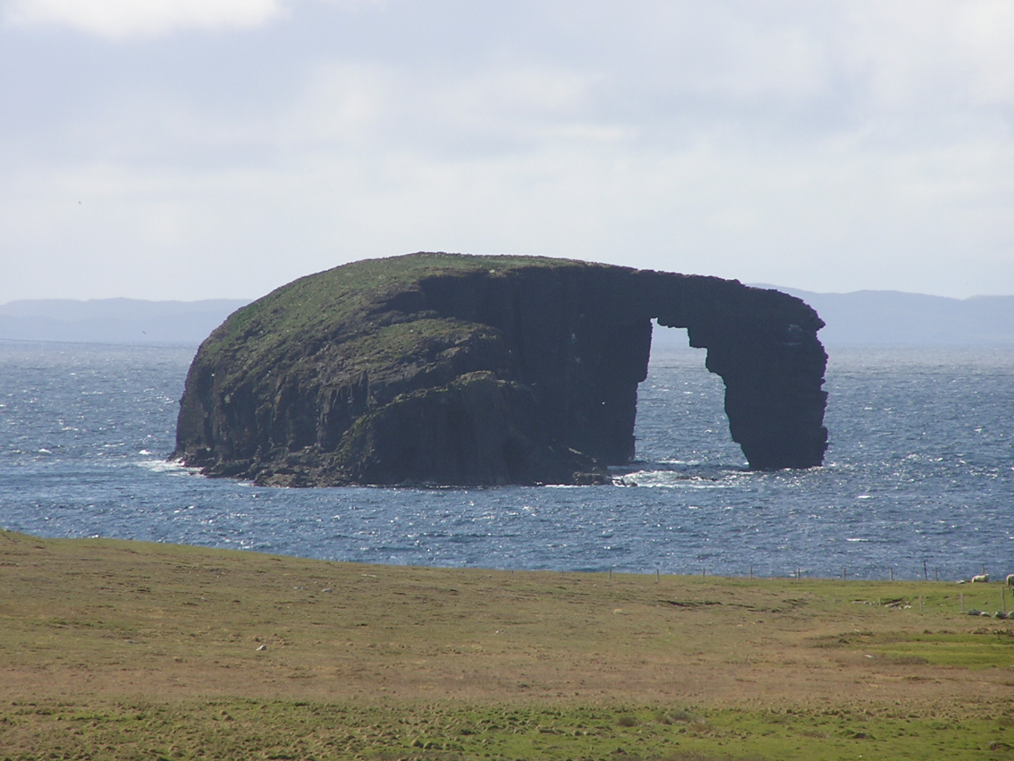
Dore Holm
The Dore Holm is a small uninhabited islet off the south coast of Esha Ness, located in the north-west of Mainland, Shetland, Scotland. Its natural arch...
Isle of Stenness
The Isle of Stenness is one of the Shetland Islands, Scotland. It is off north west Mainland in the Northmavine. It sheltered the old fishing harbour at...

The Drongs
The Drongs are a group of sea stacks off the coast of Hillswick Ness, Northmavine, Shetland, Scotland. They lie to the west of the Isle of Westerhouse...
Nearby Amenities
Located within 500m of 60.492014,-1.5872409Have you been to Black Water?
Leave your review of Black Water below (or comments, questions and feedback).