Helicon Pond

Lake, Pool, Pond, Freshwater Marsh in Yorkshire

England

Helicon Pond

Bradford Road (B6135), Drighlington
Bradford Road (B6135), Drighlington Credit: habiloid

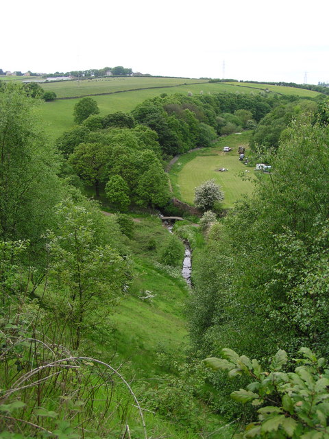
Helicon Pond is a serene freshwater marsh located in the beautiful region of Yorkshire, England. Nestled amidst lush greenery and rolling hills, it is a picturesque water body that is often referred to as a lake, pool, or pond due to its size and characteristics.

Covering a total area of approximately 2 acres, Helicon Pond is relatively small compared to other bodies of water in the region. It is surrounded by dense vegetation, including reeds, grasses, and various types of aquatic plants, which provide a vibrant and diverse ecosystem. The pond is fed by natural springs and rainfall, ensuring a constant flow of fresh water throughout the year.

The water in Helicon Pond is crystal clear and teeming with life. It is home to a wide variety of aquatic species, including fish, frogs, newts, and insects. The surrounding vegetation provides an ideal habitat for numerous bird species, making it a popular spot for birdwatching enthusiasts.

The pond offers a tranquil and peaceful environment, attracting visitors who seek solace in nature. It is an ideal place for leisurely walks, picnics, and photography. The surrounding area is well-maintained, with paths and benches provided for the comfort of visitors.

Helicon Pond is not only a haven for wildlife and nature lovers but also serves as an important educational resource. Local schools and nature organizations often organize field trips here to study the diverse flora and fauna. It is a true gem of Yorkshire, offering a slice of tranquility in the midst of the bustling region.

If you have any feedback on the listing, please let us know in the comments section below.
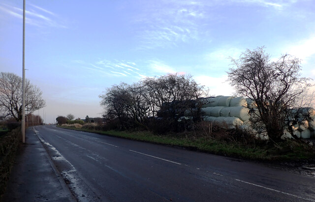
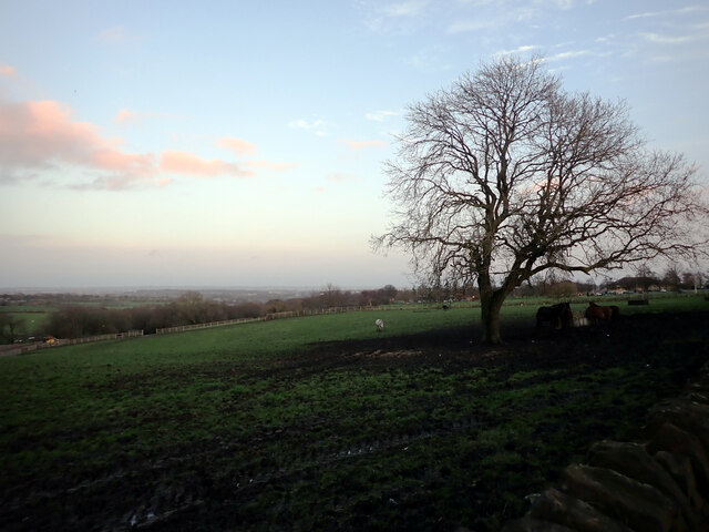
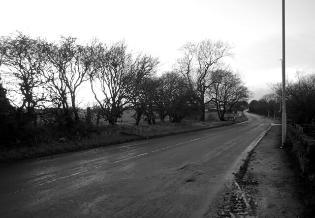
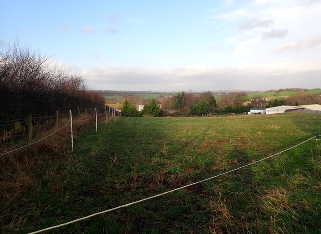
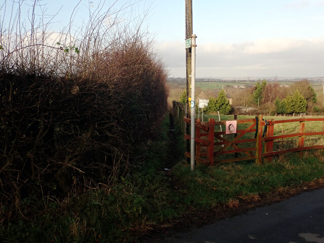
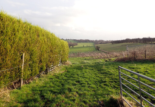
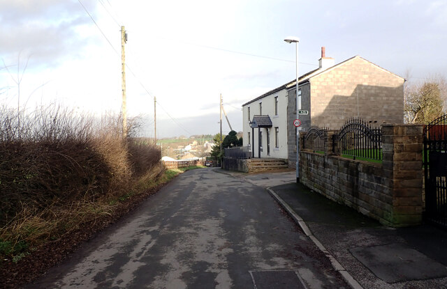
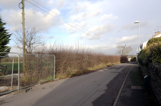
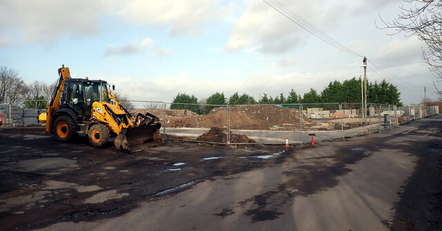
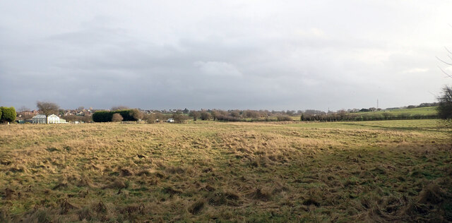
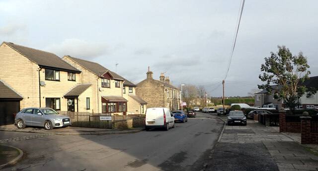
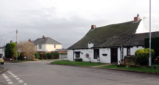
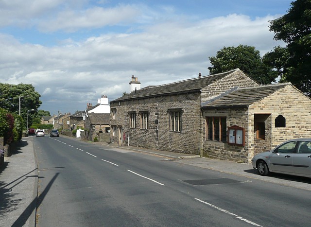
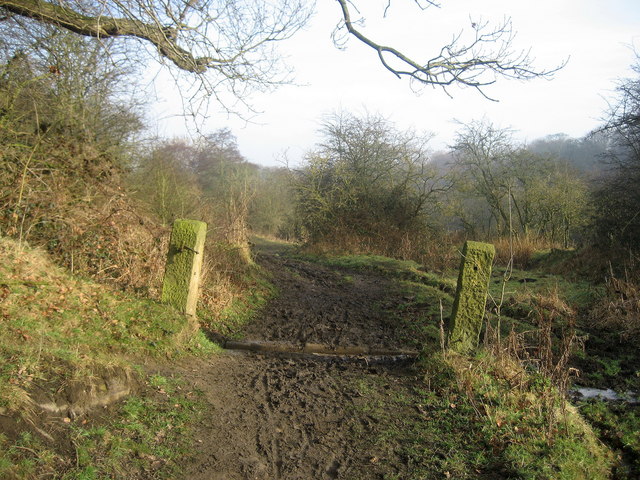
Helicon Pond Images

Images are sourced within 2km of 53.773489/-1.6698296 or Grid Reference SE2130. Thanks to Geograph Open Source API. All images are credited.

Bradford Road (B6135), Drighlington
Tree seen from Bradford Road (B6135), Drighlington
Field alongside Bradford Road (B6135), Drighlington
Kabete Lodge seen from Bradford Road (B6135), Drighlington
Bradford Road (B6135) heading towards Tong from Drighlington
View from Old Lane, Drighlington
Path to Whitehall Road leaving Old Lane, Drighlington
Path from Drighlington to Gildesome
Old Lane, Drighlington
Building site, Old Lane, Drighlington
A field by Old Lane, Drighlington
Old Lane, Drighlington
Junction of Whitehall Road (A58) and Old Lane, Drighlington The A58 is the 81 mile long trans-Pennine route from Prescot on the edge of Liverpool to Wetherby in Yorkshire.
<span class="nowrap"><a title="http://www.sabre-roads.org.uk/wiki/index.php?title=A58" rel="nofollow ugc noopener" href="http://www.sabre-roads.org.uk/wiki/index.php?title=A58">Link</a><img style="margin-left:2px;" alt="External link" title="External link - shift click to open in new window" src="https://s1.geograph.org.uk/img/external.png" width="10" height="10"/></span>
Junction of Whitehall Road (A58) and Old Lane, Drighlington
The A58 is the 81 mile long trans-Pennine route from Prescot on the edge of Liverpool to Wetherby in Yorkshire. LinkExternal link
Post box, Whitehall Road (A58), Drighlington This post box can be seen in context in <a href="https://www.geograph.org.uk/photo/7058455">SE2229 : Whitehall Road (A58), Drighlington</a>.
Post box, Whitehall Road (A58), Drighlington
This post box can be seen in context in SE2229 : Whitehall Road (A58), Drighlington.
Whitehall Road (A58), Drighlington A close-up of the post box can be seen in <a href="https://www.geograph.org.uk/photo/7058453">SE2229 : Post box, Whitehall Road (A58), Drighlington</a>.
Whitehall Road (A58), Drighlington
A close-up of the post box can be seen in SE2229 : Post box, Whitehall Road (A58), Drighlington.
Lumb Hall Way, Drighlington
Show me another place!

Helicon Pond is located at Grid Ref: SE2130 (Lat: 53.773489, Lng: -1.6698296)

Division: West Riding

Unitary Authority: Bradford

Police Authority: West Yorkshire

What 3 Words

///boxer.study.hurls. Near Drighlington, West Yorkshire

Related Wikis

Tong, West Yorkshire

Tong or Tong Village is a village and former civil parish in the City of Bradford metropolitan district, West Yorkshire, England. It is a historic village...

Tong (ward)

Tong (population 17,069 - 2001 UK census) is a ward within the City of Bradford Metropolitan District Council, West Yorkshire, England, named after Tong...

Cockersdale

Cockersdale is a location near Tong, south-west of Leeds, West Yorkshire, England. The Leeds Country Way follows the valley known as Cockers Dale, along...

Tyersal Beck

Tyersal Beck is a watercourse in West Yorkshire, England, named after the village of Tyersal in whose vicinity it runs. == Course == Its source is located...

Nearby Amenities

Located within 500m of 53.773489,-1.6698296
Pub
The Greyhound
Addr City: Bradford
Addr Housenumber: 23
Addr Postcode: BD4 0RR
Addr Street: Tong Lane
Addr Village: Tong
Fhrs Id: 326398
Wikidata: Q26426603
Lat/Long: 53.7713258/-1.6659463
Post Box
Operator: Royal Mail
Post Box Type: wall
Ref: BD4 47
Lat/Long: 53.7707825/-1.6668222
Keeper Cottage
Building: residential
Lat/Long: 53.7739296/-1.6654184
The Manor House
Building: residential
Wikidata: Q26600899
Lat/Long: 53.7736157/-1.6649491
Restaurant
HIDE AND STEAK
Addr City: Bradford
Addr Housename: The Pastures
Addr Postcode: BD4 0RP
Addr Street: Tong Lane
Cuisine: steak_house
Lat/Long: 53.7693218/-1.6716737
Tong
Place: village
Wikidata: Q7820951
Lat/Long: 53.7709348/-1.667195
The data included in this document is from www.openstreetmap.org. The data is made available under ODbL.

Have you been to Helicon Pond?

Leave your review of Helicon Pond below (or comments, questions and feedback).