Great Hucklow

Settlement in Derbyshire Derbyshire Dales

England

Great Hucklow

Public Footpath by Stanley House Farm, Wardlow, Derbyshire Towards Housley.
Public Footpath by Stanley House Farm, Wardlow, Derbyshire Credit: Andrew Tryon

Great Hucklow is a small village located in the county of Derbyshire, England. Situated in the Peak District National Park, it is nestled in the heart of the beautiful countryside, offering stunning views and a tranquil atmosphere.

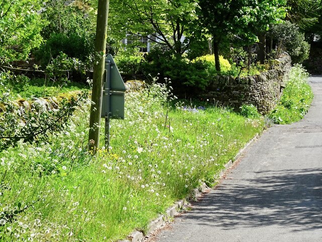
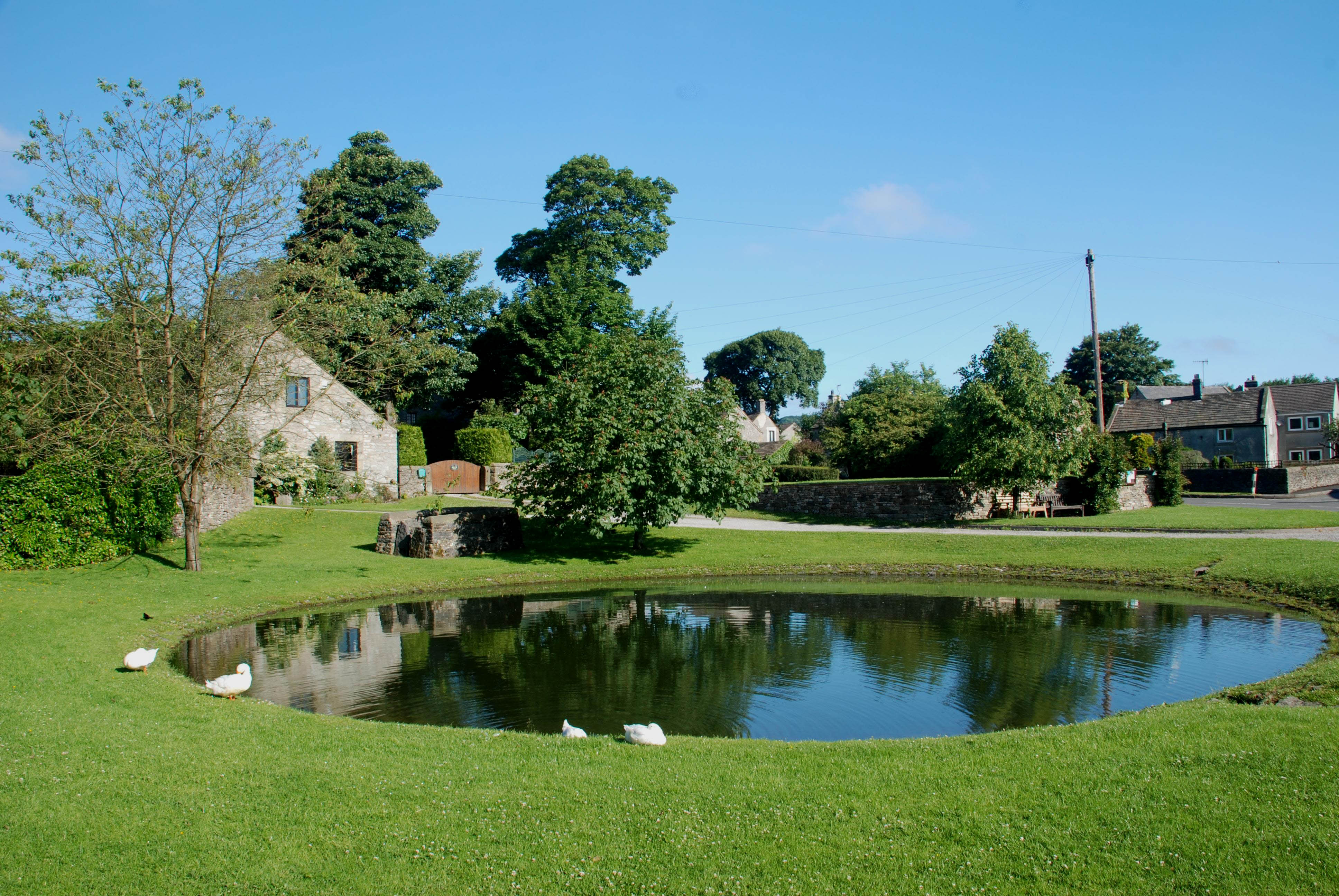
The village is known for its picturesque charm and traditional stone-built houses, which give it a unique character. It has a population of around 200 residents and is located about 8 miles southwest of the town of Bakewell.

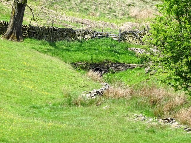
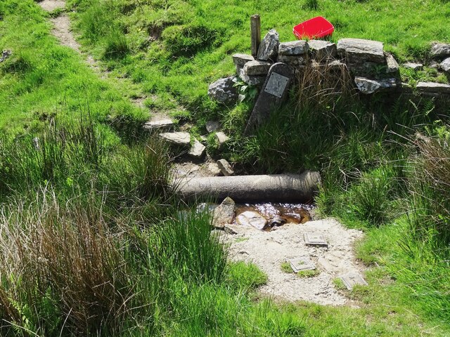
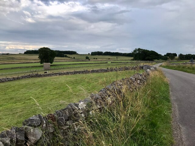
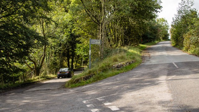
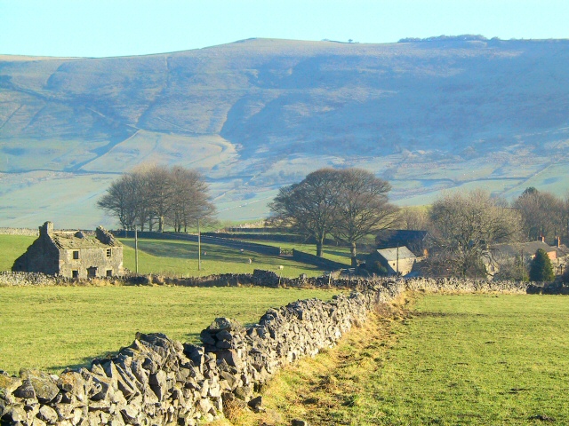
Great Hucklow is surrounded by rolling hills and dales, making it an ideal destination for outdoor enthusiasts and nature lovers. The area is crisscrossed by numerous walking trails, providing opportunities for leisurely strolls or more challenging hikes. Nearby attractions include the famous Mam Tor, a hill known for its impressive views and ancient hill fort.

The village itself boasts a rich history, with evidence of human settlement dating back to Roman times. It is home to the historic St. Mary's Church, which dates back to the 12th century and is a notable example of Norman architecture.

Despite its small size, Great Hucklow has a strong sense of community, with various local events and activities taking place throughout the year. The village has a community center that hosts gatherings, classes, and social events, further fostering a sense of camaraderie among its residents.

Overall, Great Hucklow offers a peaceful and idyllic retreat for those seeking a rural escape, with its natural beauty and friendly community making it a hidden gem in Derbyshire.

If you have any feedback on the listing, please let us know in the comments section below.

Great Hucklow Images

Images are sourced within 2km of 53.298111/-1.736747 or Grid Reference SK1777. Thanks to Geograph Open Source API. All images are credited.

Public Footpath by Stanley House Farm, Wardlow, Derbyshire Towards Housley.
Public Footpath by Stanley House Farm, Wardlow, Derbyshire
Towards Housley.
Bretton Brook emerging from a culvert under Camphill Lane
Footpath crossing Bretton Brook
Site of a pinfold Now an extra-wide piece of roadside verge given over to wild flowers, this was once the site of a pinfold, where stray animals were held until claimed by their owners, on payment of a fee.
Site of a pinfold
Now an extra-wide piece of roadside verge given over to wild flowers, this was once the site of a pinfold, where stray animals were held until claimed by their owners, on payment of a fee.
Footpath through buttercups at Stanley Lodge
Old Unitarian chapel at Great Hucklow Closely associated with Dr Lawrence du Garde Peach who set up the celebrated Hucklow Players to bring drama to Derbyshire villages in the 1930s - he was also a noted playwright, editor and  author of a string of early Ladybird guides
Old Unitarian chapel at Great Hucklow
Closely associated with Dr Lawrence du Garde Peach who set up the celebrated Hucklow Players to bring drama to Derbyshire villages in the 1930s - he was also a noted playwright, editor and author of a string of early Ladybird guides
Lower Anchor Farm
Lower Anchor Farm
Farmland near Little Hucklow
Stone Barn next to the B6049 near Windmill
B6049 near Windmill
B6049 near Windmill
Farmland near Little Hucklow
Farm Building near Little Hucklow
Washhouse Bottom near Little Hucklow
Washhouse Bottom, south of Little Hucklow
Washhouse Bottom
Washhouse Bottom
Woodland and footpath to High Rake High Rake has some interesting old lead mine ruins.
Woodland and footpath to High Rake
High Rake has some interesting old lead mine ruins.
Hucklow Edge Road junction at Hucklow Edge.
Hucklow Edge
Road junction at Hucklow Edge.
Camphill Small building beneath Camphill.
Camphill
Small building beneath Camphill.
Show me another place!

Great Hucklow is located at Grid Ref: SK1777 (Lat: 53.298111, Lng: -1.736747)

Administrative County: Derbyshire

District: Derbyshire Dales

Police Authority: Derbyshire

What 3 Words

///outright.resorting.using. Near Tideswell, Derbyshire

Related Wikis

Little Hucklow

Little Hucklow is a village and civil parish in Derbyshire. Whilst it is a separate civil parish in the Derbyshire Dales District, the Parish Council...

Great Hucklow

Great Hucklow (Old English Hucca's burial mound) is a village and civil parish in the Derbyshire Peak District which is under Hucklow Edge between the...

Grindlow

Grindlow is a farming hamlet of a dozen or so houses that nestles under Hucklow Edge in the Derbyshire Peak District. Although it is a separate civil parish...

Coplow Dale

Coplow Dale (or Coplowdale) is a small settlement in the civil parish of Little Hucklow, Derbyshire, England. == External links == Coplow Dale at Streetmap...

Foolow

Foolow (Old English possibly for "bird hill" or "colourful hill") is a village in the Derbyshire Peak District. == Village centre == The village green...

St Hugh's Church, Foolow

St Hugh's Church, Foolow is a Grade II listed parish church in the Church of England in Foolow, Derbyshire. == History == The church was opened on 17 November...

Deadman's Clough

Deadman's Clough is a stream in the civil parish of Hazlebadge in the Derbyshire Peak District. The stream rises to the south of Bradwell, where it meets...

Hazlebadge

Hazlebadge is a civil parish within the Derbyshire Dales district, in the county of Derbyshire, England. Largely rural, Hazlebadge's population is reported...

Nearby Amenities

Located within 500m of 53.298111,-1.736747
Great Hucklow
Is In Country: UK
Is In County: Derbyshire
Place: village
Source: npe
Wikidata: Q2314796
Wikipedia: en:Great Hucklow
Lat/Long: 53.2975547/-1.7343784
Bench
Ele: 304.1405029
Lat/Long: 53.2972271/-1.7343171
Telephone
Defibrillator
Access: yes
Booth: K6
Check Date: 2023-03-09
Covered: booth
Defibrillator Location: inside red phone box, Great Hucklow
Ele: 303.4195557
Emergency: defibrillator
Indoor: no
Man Made: telephone_box
Lat/Long: 53.2972165/-1.7343474
Post Box
Ele: 303.6599121
Post Box Type: wall
Royal Cypher: GR
Royal Cypher Wikidata: Q33102273
Lat/Long: 53.2972123/-1.7342932
Bus Stop
Great Hucklow (Old Chapel)
Bus: yes
Departures Board: timetable
Ele: 303.4195557
Public Transport: platform
Shelter: no
Lat/Long: 53.2972094/-1.7342482
Pub
The Queen Anne
Ele: 305
Food: yes
Parking: yes
Real Ale: Tetley Bitter, Clarks Classic Blonde
Toilets Wheelchair: no
Wheelchair: limited
Lat/Long: 53.297934/-1.7362846
Great Hucklow Butter Cross
Ele: 304.3808594
Historic: monument
Source Name: Sign
Lat/Long: 53.2974035/-1.7351274
Bench
Lat/Long: 53.2973457/-1.7343062
Parking
Access: unknown
Wheelchair: yes
Lat/Long: 53.2985163/-1.7340573
Bench
Lat/Long: 53.2974419/-1.7348641
Description: The Hucklow Edge Vein
Information: board
Tourism: information
Lat/Long: 53.2988395/-1.7336175
Barrier: stile
Material: stone
Stile: squeezer
Lat/Long: 53.2987752/-1.7335939
Fixme: stile of gate?
Lat/Long: 53.3024156/-1.7382351
Barrier: stile
Stile: squeezer
Lat/Long: 53.3018738/-1.7377591
Barrier: stile
Stile: squeezer
Lat/Long: 53.3011005/-1.7370287
Description: Mill Dam Lead Mine, Great Hucklow
Information: board
Tourism: information
Lat/Long: 53.2983826/-1.7365835
Barrier: stile
Material: wood
Steps: 2
Stile: stepover
Lat/Long: 53.2985718/-1.7344191
Barrier: stile
Stile: squeezer
Lat/Long: 53.2995378/-1.7352578
Barrier: stile
Material: stone
Source: survey;gps
Stile: stepover
Lat/Long: 53.2953567/-1.7316938
Barrier: stile
Material: stone
Source: survey;gps
Stile: stepover
Lat/Long: 53.2958301/-1.7330743
Barrier: stile
Material: stone
Source: survey;gps
Stile: stepover
Lat/Long: 53.2960284/-1.7339698
The Great Hucklow Cross
Information: board
Tourism: information
Lat/Long: 53.2973859/-1.7351275
Barrier: entrance
Source: survey;gps
Lat/Long: 53.2971996/-1.734023
Barrier: entrance
Source: survey;gps
Lat/Long: 53.2972091/-1.7344356
Barrier: stile
Material: stone
Source: survey;gps
Stile: stepover
Lat/Long: 53.2957117/-1.7325733
Bus Stop
Great Hucklow (Old Chapel)
Bus: yes
Departures Board: timetable
Public Transport: platform
Shelter: no
Lat/Long: 53.2972945/-1.7339299
Great Hucklow (Old Chapel)
Bus: yes
Public Transport: stop_position
Lat/Long: 53.2972657/-1.7342406
Great Hucklow (Old Chapel)
Bus: yes
Public Transport: stop_position
Lat/Long: 53.2972433/-1.7339307
Advertising: board
Lat/Long: 53.2972072/-1.7342768
Stop
Direction: forward
Lat/Long: 53.2972018/-1.7337619
The data included in this document is from www.openstreetmap.org. The data is made available under ODbL.

Have you been to Great Hucklow?

Leave your review of Great Hucklow below (or comments, questions and feedback).