Loch of Goster
Lake, Pool, Pond, Freshwater Marsh in Shetland
Scotland
Loch of Goster
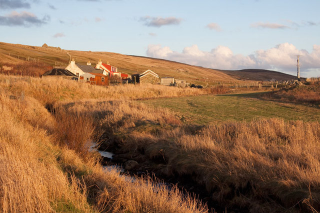
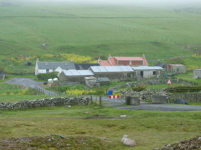
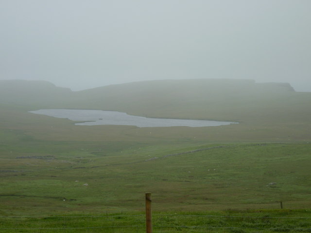
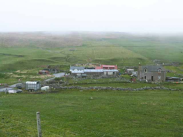
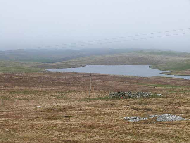
Loch of Goster is a picturesque freshwater loch located in the Shetland Islands, off the northeast coast of Scotland. The loch is situated in the central part of the island of Whalsay, which is known for its stunning natural beauty and diverse wildlife.
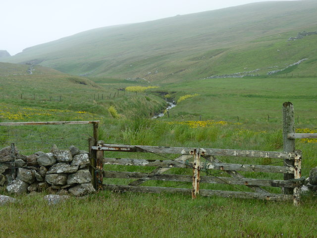
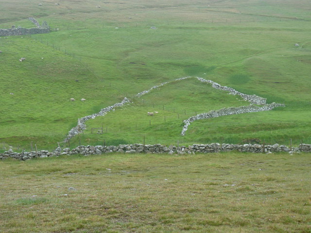
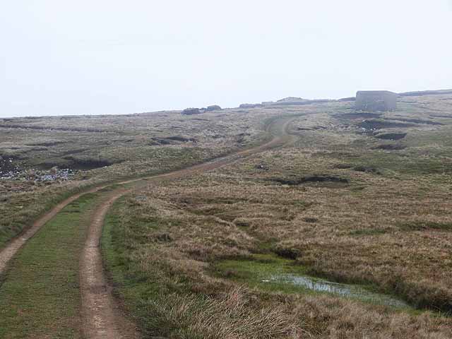
Covering an area of approximately 40 hectares, Loch of Goster is surrounded by rolling hills and gentle slopes, creating a tranquil and serene atmosphere. The water in the loch is crystal clear and is fed by several small streams that flow into it from the surrounding hills.
The loch is home to a wide variety of flora and fauna, making it a popular destination for nature enthusiasts and birdwatchers. The surrounding wetlands and marshes provide a perfect habitat for a range of bird species, including waders, ducks, and geese. During the breeding season, the loch becomes a nesting site for many migratory birds, adding to its importance as a nature reserve.
In addition to its ecological significance, Loch of Goster also offers recreational opportunities for visitors. Fishing is a popular activity, with anglers enjoying the tranquil surroundings while trying to catch brown trout or Arctic char. The loch is also a great place for boating and kayaking, allowing visitors to explore its calm waters and take in the scenic views.
Overall, Loch of Goster is a hidden gem in the Shetland Islands, offering a peaceful retreat for nature lovers and outdoor enthusiasts. Its stunning natural beauty and abundant wildlife make it a must-visit destination for anyone seeking a unique and tranquil experience in the Scottish countryside.
If you have any feedback on the listing, please let us know in the comments section below.
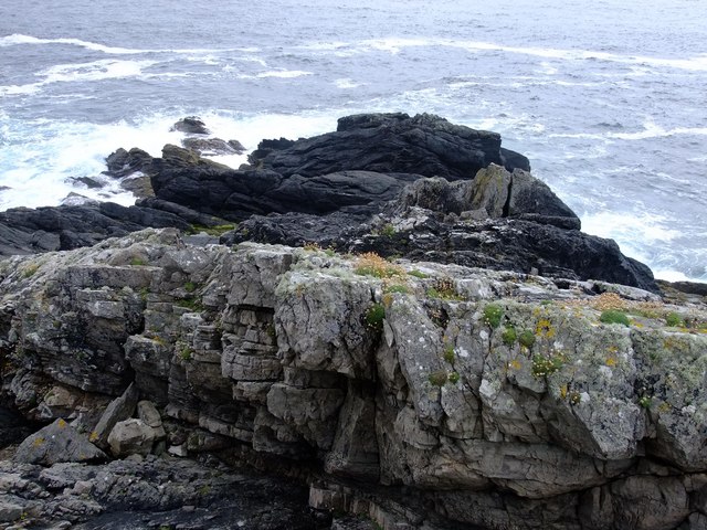
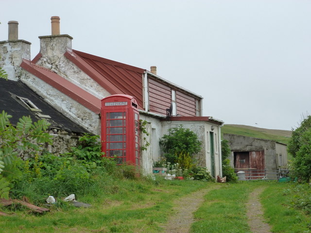
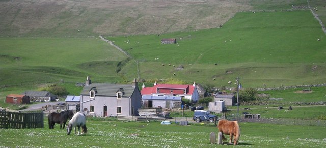
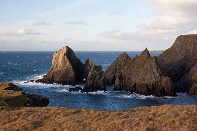
Loch of Goster Images
Images are sourced within 2km of 60.246745/-1.6856273 or Grid Reference HU1751. Thanks to Geograph Open Source API. All images are credited.


Loch of Goster is located at Grid Ref: HU1751 (Lat: 60.246745, Lng: -1.6856273)
Unitary Authority: Shetland Islands
Police Authority: Highlands and Islands
What 3 Words
///minivans.wriggle.grazes. Near Walls, Shetland Islands
Nearby Locations
Related Wikis

Burrastow
Burrastow is a location on the west shore of Vaila Sound near the village of Walls on the Shetland Mainland, Scotland. There are two small piers and the...

Sandness
Sandness (the "d" is not pronounced locally) is a headland and district in the west of Shetland Mainland, Scotland. Sandness was a civil parish, which...

Walls, Shetland
Walls, known locally as Waas (Old Norse: Vagar = "Sheltered Bays" (voes) - the Ordnance Survey added the "ll" as they thought it was a corruption of "walls...

Linga, Vaila Sound
Linga is one of the Shetland Islands, near Vaila and Walls on Mainland, Shetland. Its highest elevation is 28 metres (91 ft). In 2014 and 2018 it was...
Vaila
Vaila (Old Norse: "Valey") is an island in Shetland, Scotland, lying south of the Westland peninsula of the Shetland Mainland. It has an area of 327 hectares...

Bousta
Bousta is a settlement on Mainland, in Shetland, Scotland. Bousta is situated in the parish of Walls and Sandness.Scott's Hawkweed is native to the pastures...

Papa Stour Airstrip
Papa Stour Airstrip is a small airstrip in the village of Biggings on the island of Papa Stour. Shetland, Scotland. == History == Papa Stour Airstrip opened...

Scord of Brouster
The Scord of Brouster is one of the earliest Neolithic farm sites in Shetland, Scotland. It has been dated to 2220 BC with a time window of 80 years on...
Nearby Amenities
Located within 500m of 60.246745,-1.6856273Have you been to Loch of Goster?
Leave your review of Loch of Goster below (or comments, questions and feedback).