Ness of Bakka
Coastal Feature, Headland, Point in Shetland
Scotland
Ness of Bakka
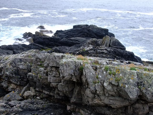
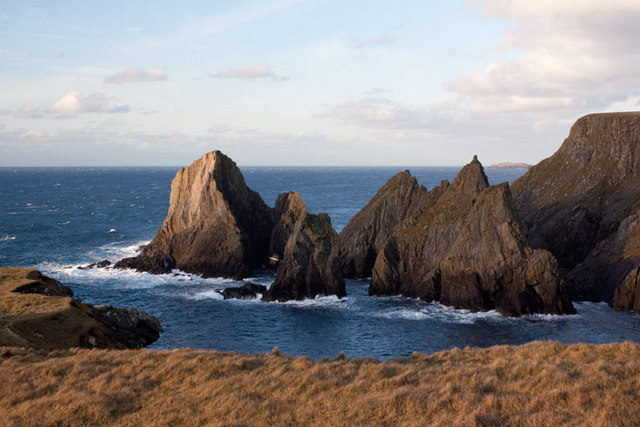
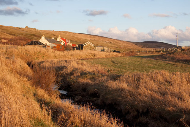
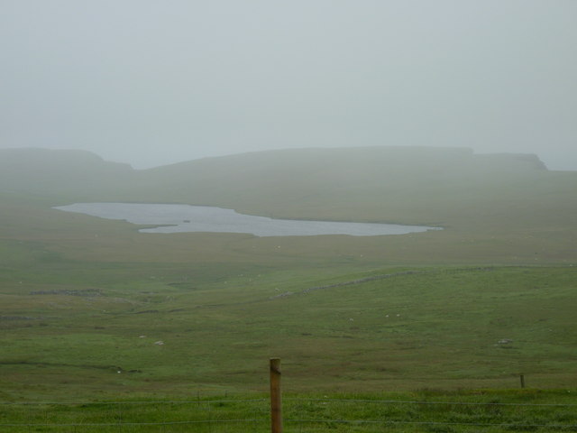
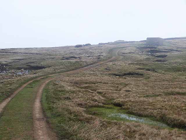
Ness of Bakka is a prominent coastal feature located on the island of Shetland in Scotland. It is a headland that juts out into the North Sea, forming a distinctive point that offers breathtaking views of the surrounding coastline.
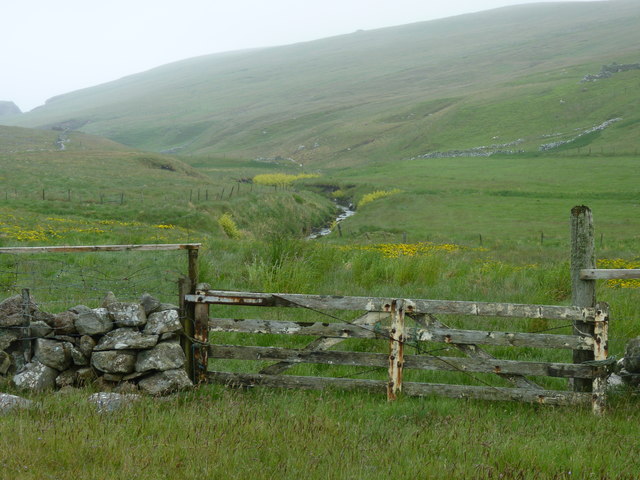
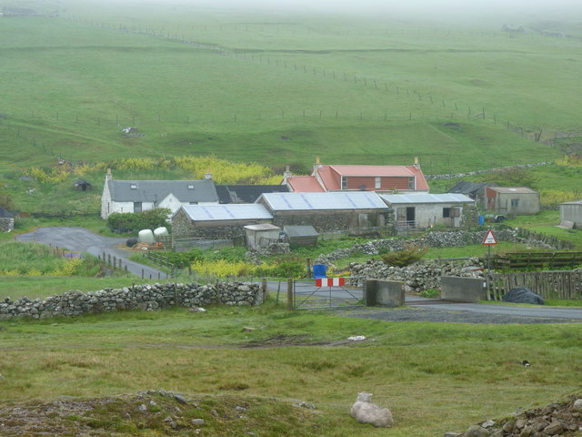
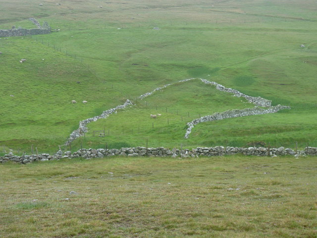
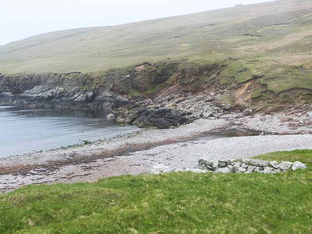
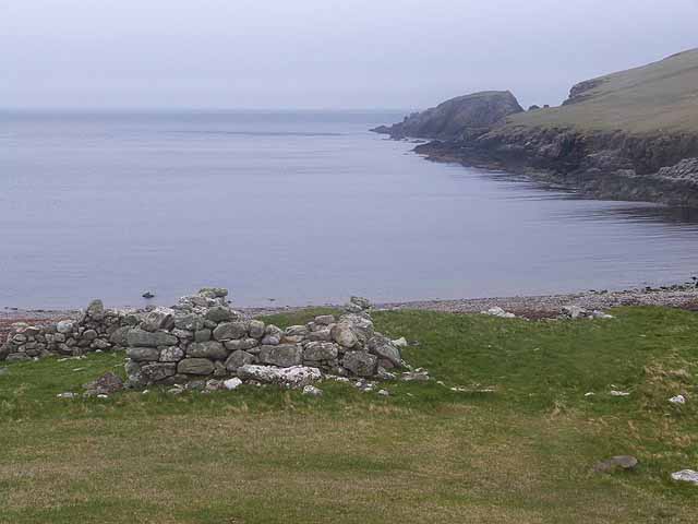
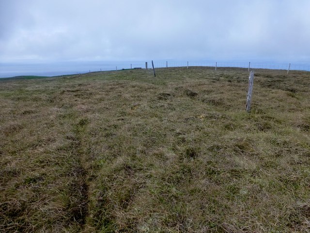
Situated on the southwestern coast of the Shetland Mainland, Ness of Bakka is known for its rugged beauty and dramatic cliffs. The headland is composed of ancient rock formations, primarily composed of sandstone and shale, which have been shaped by centuries of erosion by the relentless waves and winds of the North Sea.
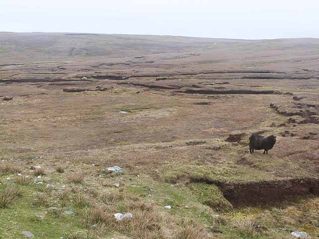
The area surrounding Ness of Bakka is rich in biodiversity, with various species of seabirds nesting on the cliffs, including puffins, fulmars, and guillemots. The headland also provides an important habitat for seals and other marine life, making it a popular spot for wildlife enthusiasts and birdwatchers.
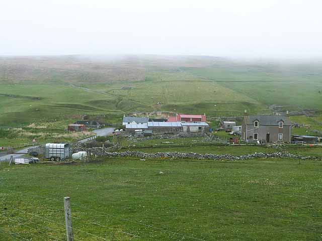
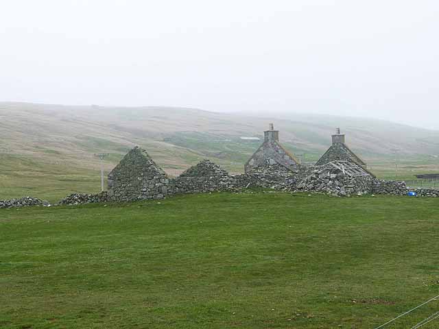
Apart from its natural beauty, Ness of Bakka also holds historical significance. It is believed to have been settled by humans since prehistoric times, with evidence of ancient settlements and burial sites in the vicinity. The headland has also witnessed the passage of numerous ships throughout history, leading to several shipwrecks along its treacherous coastline.
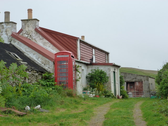
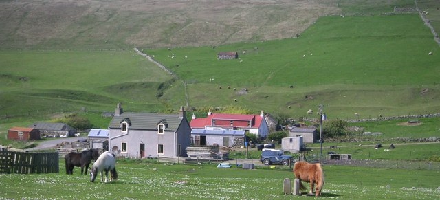
Accessible via a coastal path, Ness of Bakka attracts visitors from all over who come to admire its stunning scenery, explore the surrounding nature reserves, or simply enjoy a peaceful walk along the rugged cliffs. It is a place where history, nature, and breathtaking views converge, making it a must-visit destination for anyone exploring the Shetland Islands.
If you have any feedback on the listing, please let us know in the comments section below.
Ness of Bakka Images
Images are sourced within 2km of 60.248156/-1.6940132 or Grid Reference HU1751. Thanks to Geograph Open Source API. All images are credited.


Ness of Bakka is located at Grid Ref: HU1751 (Lat: 60.248156, Lng: -1.6940132)
Unitary Authority: Shetland Islands
Police Authority: Highlands and Islands
What 3 Words
///twins.populate.squaring. Near Walls, Shetland Islands
Nearby Locations
Related Wikis

Sandness
Sandness (the "d" is not pronounced locally) is a headland and district in the west of Shetland Mainland, Scotland. Sandness was a civil parish, which...

Burrastow
Burrastow is a location on the west shore of Vaila Sound near the village of Walls on the Shetland Mainland, Scotland. There are two small piers and the...

Walls, Shetland
Walls, known locally as Waas (Old Norse: Vagar = "Sheltered Bays" (voes) - the Ordnance Survey added the "ll" as they thought it was a corruption of "walls...

Papa Stour Airstrip
Papa Stour Airstrip is a small airstrip in the village of Biggings on the island of Papa Stour. Shetland, Scotland. == History == Papa Stour Airstrip opened...

Linga, Vaila Sound
Linga is one of the Shetland Islands, near Vaila and Walls on Mainland, Shetland. Its highest elevation is 28 metres (91 ft). In 2014 and 2018 it was...

Bousta
Bousta is a settlement on Mainland, in Shetland, Scotland. Bousta is situated in the parish of Walls and Sandness.Scott's Hawkweed is native to the pastures...
Forewick Holm
Forewick Holm is a 1-hectare (2.5-acre) island in the Sound of Papa in the Shetland islands, Scotland. Located between Papa Stour and the Sandness peninsula...
Vaila
Vaila (Old Norse: "Valey") is an island in Shetland, Scotland, lying south of the Westland peninsula of the Shetland Mainland. It has an area of 327 hectares...
Nearby Amenities
Located within 500m of 60.248156,-1.6940132Have you been to Ness of Bakka?
Leave your review of Ness of Bakka below (or comments, questions and feedback).