Baalie

Island in Shetland

Scotland

Baalie

Dale of Walls: Loch of Goster and view of Foula The island of Foula is faintly visible on the horizon as we look out to sea over the Loch of Goster.
Dale of Walls: Loch of Goster and view of Foula Credit: Chris Downer

Baalie is a small island located in the Shetland archipelago, which is situated off the northeast coast of Scotland. With a total land area of approximately 15 square kilometers, Baalie is one of the smaller islands in the group. It is positioned between the larger islands of Whalsay and Papa Stour.

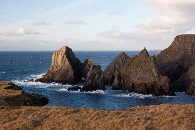
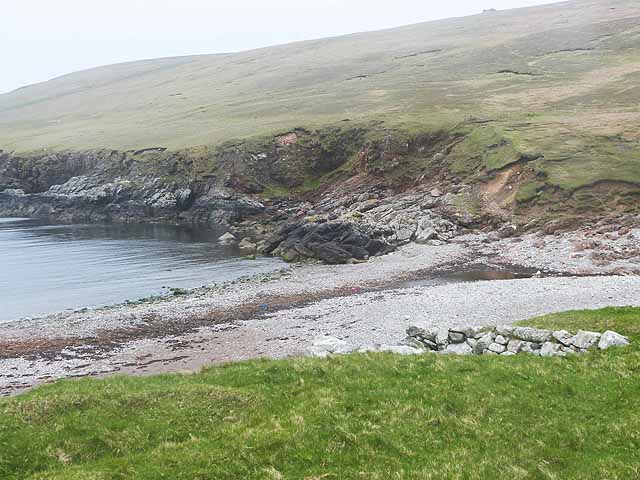
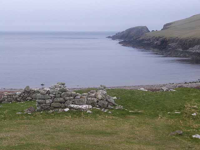
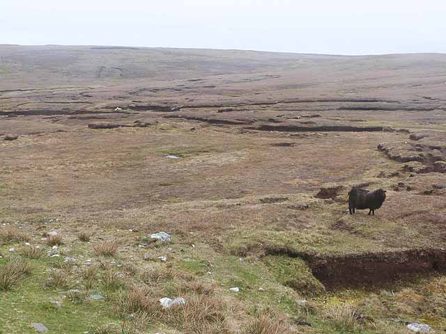
Baalie is largely uninhabited, with only a handful of residents residing on the island. The landscape of Baalie is characterized by rugged cliffs, rolling hills, and picturesque beaches. The island is known for its diverse birdlife and is a popular spot for birdwatching enthusiasts. Species such as puffins, razorbills, and guillemots can be found nesting on the cliffs.

The island's history can be traced back to ancient times, with archaeological evidence suggesting human activity dating back over 4,000 years. Baalie has a rich cultural heritage, with remnants of ancient settlements and structures scattered across the island. These include prehistoric stone circles, standing stones, and burial mounds.

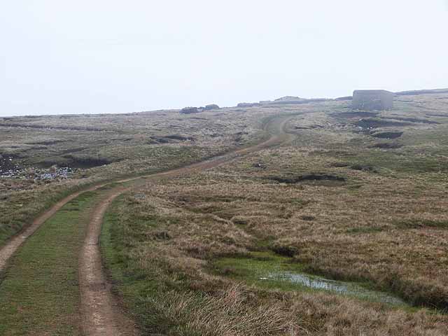
Access to Baalie is primarily by boat, and there are no regular ferry services to the island. However, private charters and boat tours are available for visitors who wish to explore its natural beauty and historical sites. The island offers opportunities for hiking, wildlife observation, and photography.

Overall, Baalie is a small, uninhabited island in the Shetland archipelago, offering visitors a glimpse into Scotland's ancient past and a chance to immerse themselves in the stunning natural landscapes.

If you have any feedback on the listing, please let us know in the comments section below.
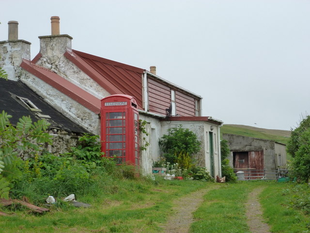
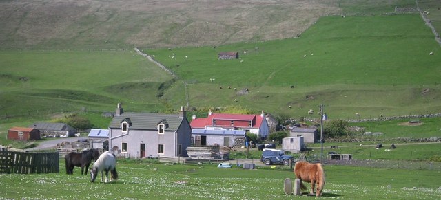
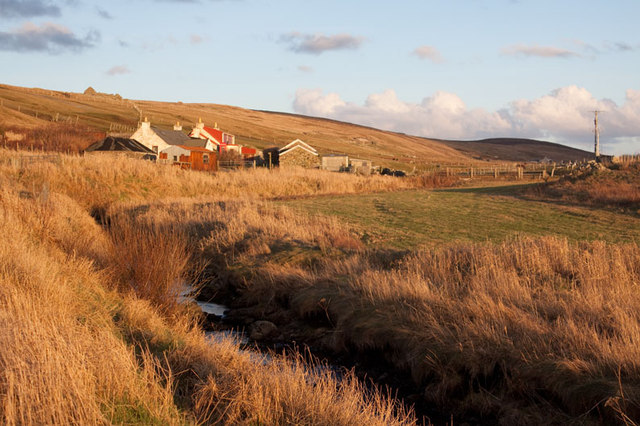
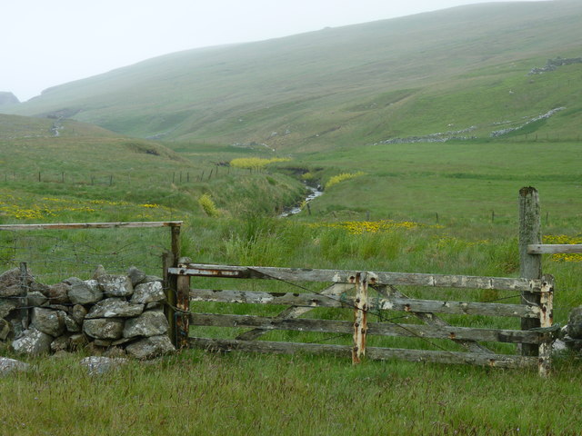
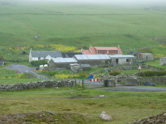
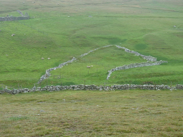
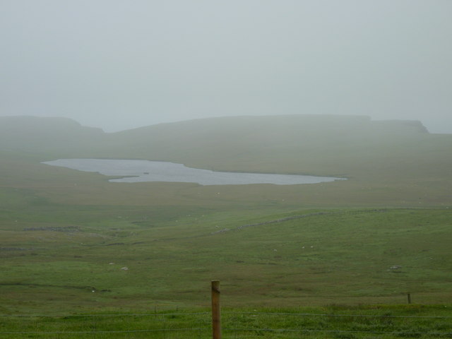
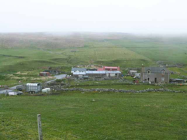
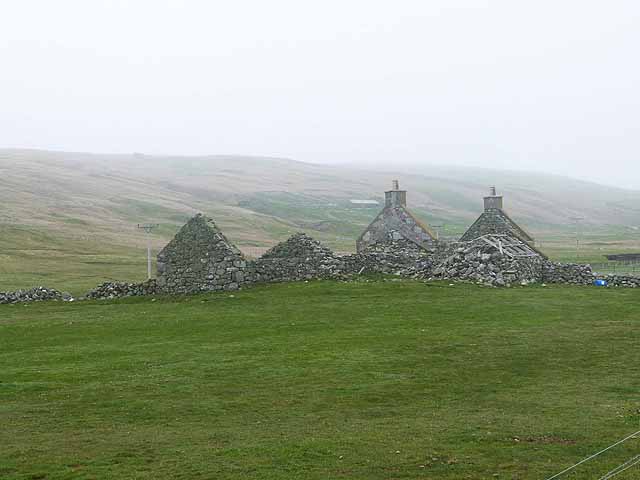
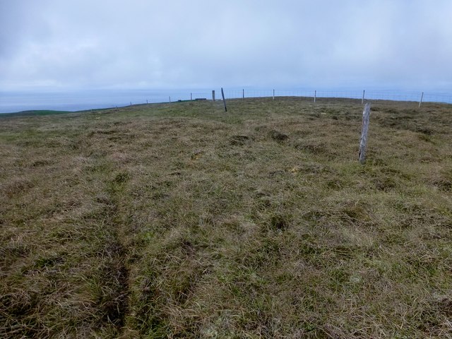
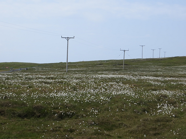
Baalie Images

Images are sourced within 2km of 60.249636/-1.6934575 or Grid Reference HU1751. Thanks to Geograph Open Source API. All images are credited.

Dale of Walls: Loch of Goster and view of Foula The island of Foula is faintly visible on the horizon as we look out to sea over the Loch of Goster.
Dale of Walls: Loch of Goster and view of Foula
The island of Foula is faintly visible on the horizon as we look out to sea over the Loch of Goster.
Dale of Walls: telephone box and cottage This very isolated telephone box cannot surely see much use - well, attempted use, I should say: I lifted the handset and could get no tone whatsoever!
Dale of Walls: telephone box and cottage
This very isolated telephone box cannot surely see much use - well, attempted use, I should say: I lifted the handset and could get no tone whatsoever!
Horses at Dale
Horses at Dale
Cley Stacks, Shetland Islands Cley Stacks across Coppa Wick, Shetland Islands
Cley Stacks, Shetland Islands
Cley Stacks across Coppa Wick, Shetland Islands
Netherdale, Shetland Islands Netherdale crofts in the Dale of Walls, Shetland Islands
Netherdale, Shetland Islands
Netherdale crofts in the Dale of Walls, Shetland Islands
Beach at Voe of Dale, Dale of Walls
Gate to a view of the Burn of Dale It's easy to post photos of Shetland only when it is sunny - so here is one showing a more realistic view!
Gate to a view of the Burn of Dale
It's easy to post photos of Shetland only when it is sunny - so here is one showing a more realistic view!
Cattle grid,and Netherdale beyond
Remains of an enclosure at Swinland, Dale of Walls
Looking across rough pasture to the Loch of Goster and cliff edges beyond
Beach at the head of the Voe of Dale
Voe of Dale
Voe of Dale
Scord of Simlifield Peat bog and black sheep.
Scord of Simlifield
Peat bog and black sheep.
Track up to Simli Field For access to the peat cuttings.
Track up to Simli Field
For access to the peat cuttings.
Netherdale Farm Just inland from the Voe of Dale. A day of very low cloud.
Netherdale Farm
Just inland from the Voe of Dale. A day of very low cloud.
Ruined cottage at Dale
Simli Field Bagged with Bob, Tricky and Tony.
Name: Simli Field
Hill number: 103851
Height: 133m / 436ft
Area:22: Shetland Islands
Class: 1
Grid ref: HU189513 (est)
Drop: 40m
Col: 93m
Simli Field
Bagged with Bob, Tricky and Tony. Name: Simli Field Hill number: 103851 Height: 133m / 436ft Area:22: Shetland Islands Class: 1 Grid ref: HU189513 (est) Drop: 40m Col: 93m
Bog near Sung Cotton grass on moorland.
Bog near Sung
Cotton grass on moorland.
Show me another place!

Baalie is located at Grid Ref: HU1751 (Lat: 60.249636, Lng: -1.6934575)

Unitary Authority: Shetland Islands

Police Authority: Highlands and Islands

What 3 Words

///swordfish.kilowatt.sailing. Near Walls, Shetland Islands

Related Wikis

Sandness

Sandness (the "d" is not pronounced locally) is a headland and district in the west of Shetland Mainland, Scotland. Sandness was a civil parish, which...

Burrastow

Burrastow is a location on the west shore of Vaila Sound near the village of Walls on the Shetland Mainland, Scotland. There are two small piers and the...

Walls, Shetland

Walls, known locally as Waas (Old Norse: Vagar = "Sheltered Bays" (voes) - the Ordnance Survey added the "ll" as they thought it was a corruption of "walls...

Papa Stour Airstrip

Papa Stour Airstrip is a small airstrip in the village of Biggings on the island of Papa Stour. Shetland, Scotland. == History == Papa Stour Airstrip opened...

Nearby Amenities

Located within 500m of 60.249636,-1.6934575
Voe of Dale
Natural: bay
Lat/Long: 60.2522451/-1.6909222
Natural: cave_entrance
Lat/Long: 60.2490353/-1.6932134
Natural: cave_entrance
Lat/Long: 60.2491092/-1.6927072
The data included in this document is from www.openstreetmap.org. The data is made available under ODbL.

Have you been to Baalie?

Leave your review of Baalie below (or comments, questions and feedback).