Hurst Pond
Lake, Pool, Pond, Freshwater Marsh in Hampshire New Forest
England
Hurst Pond

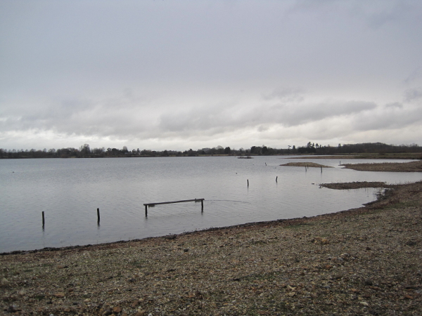
Hurst Pond is a picturesque freshwater pond located in the county of Hampshire, England. Situated near the village of Burley, in the heart of the New Forest National Park, this body of water offers a serene and tranquil environment for visitors to enjoy.
Covering an area of approximately 5 acres, Hurst Pond is surrounded by lush vegetation, including reeds, grasses, and various species of trees. The pond itself is fed by natural springs and rainwater runoff, ensuring a constant supply of freshwater.
The pond is home to a diverse range of flora and fauna, making it a haven for wildlife enthusiasts and nature lovers. Numerous species of waterfowl can be found on the pond, including ducks, geese, and swans. In addition, the surrounding marshland provides a habitat for various amphibians, such as frogs and newts.
The calm and still waters of Hurst Pond make it an ideal spot for fishing. Anglers can try their luck at catching carp, roach, and perch, among other species that inhabit the pond. A fishing permit is required to fish in the pond, ensuring the conservation and protection of the local fish population.
Hurst Pond is also a popular destination for leisurely walks and picnics. A footpath circles the pond, offering scenic views and opportunities to explore the surrounding countryside. Visitors can relax on the grassy banks or find a secluded spot to enjoy a picnic amidst the peaceful ambiance of the area.
Overall, Hurst Pond is a delightful natural feature within Hampshire, providing a haven for wildlife, a recreational spot for anglers, and a serene retreat for those seeking solace in nature.
If you have any feedback on the listing, please let us know in the comments section below.
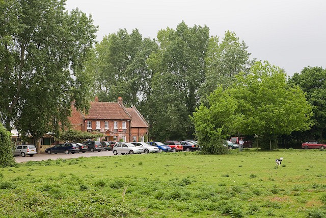
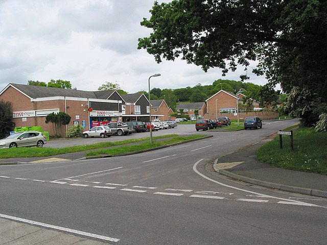
Hurst Pond Images
Images are sourced within 2km of 50.858632/-1.7846884 or Grid Reference SU1506. Thanks to Geograph Open Source API. All images are credited.


Hurst Pond is located at Grid Ref: SU1506 (Lat: 50.858632, Lng: -1.7846884)
Administrative County: Hampshire
District: New Forest
Police Authority: Hampshire
What 3 Words
///sometime.haystack.baseless. Near Ringwood, Hampshire
Nearby Locations
Related Wikis

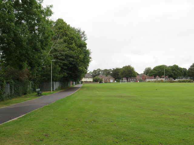
Blashford
Blashford is a small hamlet of approx. 65 dwellings situated close to the New Forest National Park in Hampshire, England. Its nearest town is Ringwood...

Castleman Trailway
The Castleman Trailway is a footpath in Southern England. Portions of the trailway are also used as a cyclepath but the middle section from East Wimborne...
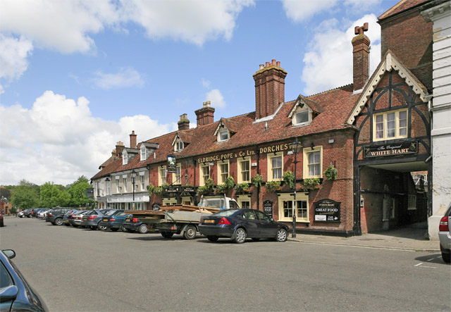
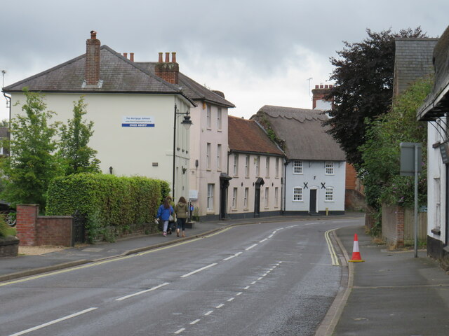
Ringwood, Hampshire
Ringwood is a market town in south-west Hampshire, England, on the River Avon close to the New Forest, northeast of Bournemouth and southwest of Southampton...

Linbrook Lake
Linbrook Lake, also called Linbrook East, is a lake located just west of the New Forest National Park in Hampshire, England with the village of Blashford...
Ringwood School
Ringwood School (opened in 1959) is a coeducational secondary school and sixth form situated in Ringwood, Hampshire, England. It was a specialist Language...
Rockford, Hampshire
Rockford is a hamlet on the western edge of the New Forest National Park of Hampshire, England. Its nearest town is Ringwood, which lies approximately...
Blashford Lakes
Blashford Lakes is a 159-hectare (390-acre) nature reserve north of Ringwood in Hampshire, England, which is managed by the Hampshire and Isle of Wight...
Poulner
Poulner (/'paʊnə/) is a small village in the civil parish of Ringwood in the New Forest district, in Hampshire, England, although its northern fringe lies...
Nearby Amenities
Located within 500m of 50.858632,-1.7846884Have you been to Hurst Pond?
Leave your review of Hurst Pond below (or comments, questions and feedback).