Blackmoor Pond
Lake, Pool, Pond, Freshwater Marsh in Wiltshire New Forest
England
Blackmoor Pond

Blackmoor Pond is a picturesque freshwater marsh located in Wiltshire, England. Nestled amidst rolling hills and lush greenery, it is a tranquil oasis that offers a serene escape from the hustle and bustle of everyday life.
Spanning an area of approximately 2.5 acres, Blackmoor Pond is a natural formation that boasts crystal-clear waters and abundant aquatic vegetation. The pond is fed by several natural springs, ensuring a constant flow of fresh water. Its depth varies, with the deepest point reaching around 6 meters.
The surrounding landscape is characterized by a diverse range of flora and fauna. Tall reeds, water lilies, and other aquatic plants adorn the edges of the pond, providing a habitat for various species of birds, insects, and small mammals. The pond also serves as a breeding ground for amphibians, including frogs and newts.
Blackmoor Pond is a popular spot for nature enthusiasts, photographers, and those seeking a peaceful retreat. Visitors can explore the pond on foot, following the walking trail that circumnavigates its perimeter. Benches strategically placed along the trail offer scenic viewpoints for contemplation and birdwatching.
Fishing is permitted in the pond, with anglers enjoying the opportunity to catch freshwater fish such as perch, roach, and tench. However, a valid fishing permit is required.
Overall, Blackmoor Pond is a hidden gem in Wiltshire, offering a serene and idyllic environment for those seeking solace in nature's beauty. Its diverse ecosystem, combined with its tranquil ambiance, makes it a truly enchanting destination for all nature lovers.
If you have any feedback on the listing, please let us know in the comments section below.
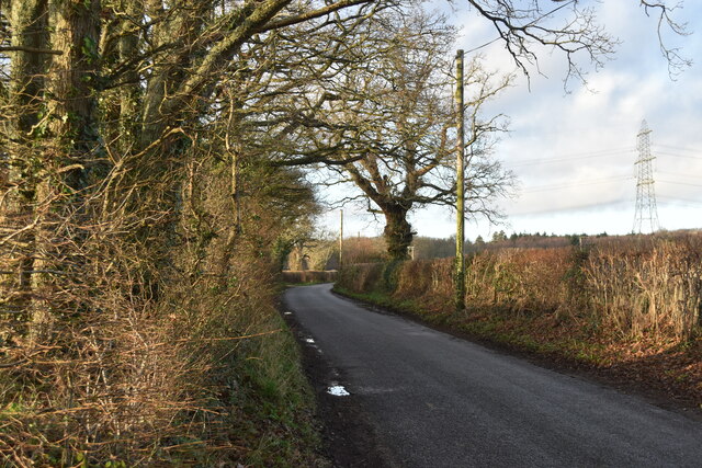
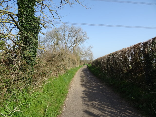
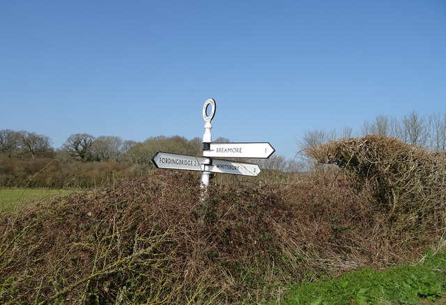
Blackmoor Pond Images
Images are sourced within 2km of 50.96091/-1.8100174 or Grid Reference SU1317. Thanks to Geograph Open Source API. All images are credited.


Blackmoor Pond is located at Grid Ref: SU1317 (Lat: 50.96091, Lng: -1.8100174)
Administrative County: Hampshire
District: New Forest
Police Authority: Hampshire
What 3 Words
///tokens.catch.concerned. Near Fordingbridge, Hampshire
Nearby Locations
Related Wikis

Whitsbury
Whitsbury is a village and civil parish in Hampshire, England, close to Fordingbridge. Whitsbury is a part of a group of villages on the edge of the Cranborne...

Rockbourne Roman Villa
Rockbourne Roman Villa is a Roman courtyard villa excavated and put on public display in the village of Rockbourne in the English county of Hampshire....

Whitsbury Castle
Whitsbury Castle, or Whitsbury Castle Ditches, is the site of an Iron Age univallate hillfort located near the village of Whitsbury in Hampshire. The fort...

Rockbourne
Rockbourne is a village and civil parish in the English county of Hampshire, close to Fordingbridge. == Overview == Rockbourne is a village of thatched...
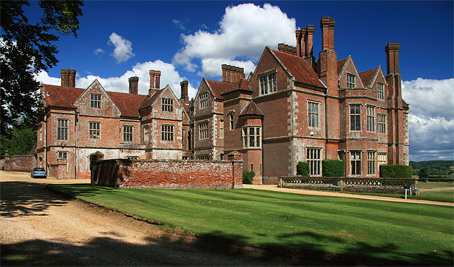
Breamore House
Breamore House is an Elizabethan manor house noted for its fine collection of paintings and furniture and situated NW of Breamore village, north of Fordingbridge...

Breamore Priory
Breamore Priory was a priory of Austin canons in Breamore, Hampshire, England. == Foundation == The priory was founded some time towards the end of the...
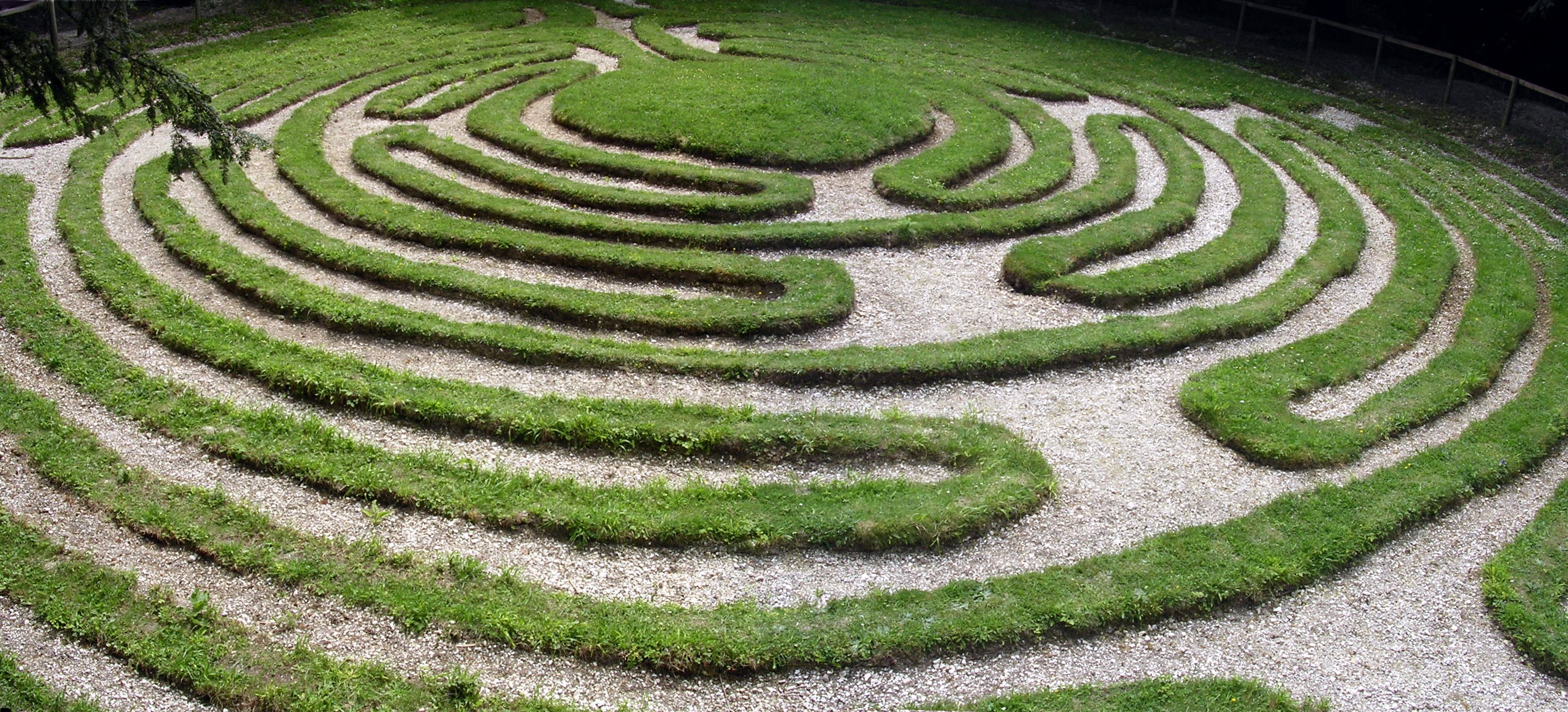
Mizmaze
Mizmaze (or Miz-Maze or Miz Maze) is the name given to two of England's eight surviving historic turf mazes, and also to a third, presumably once similar...
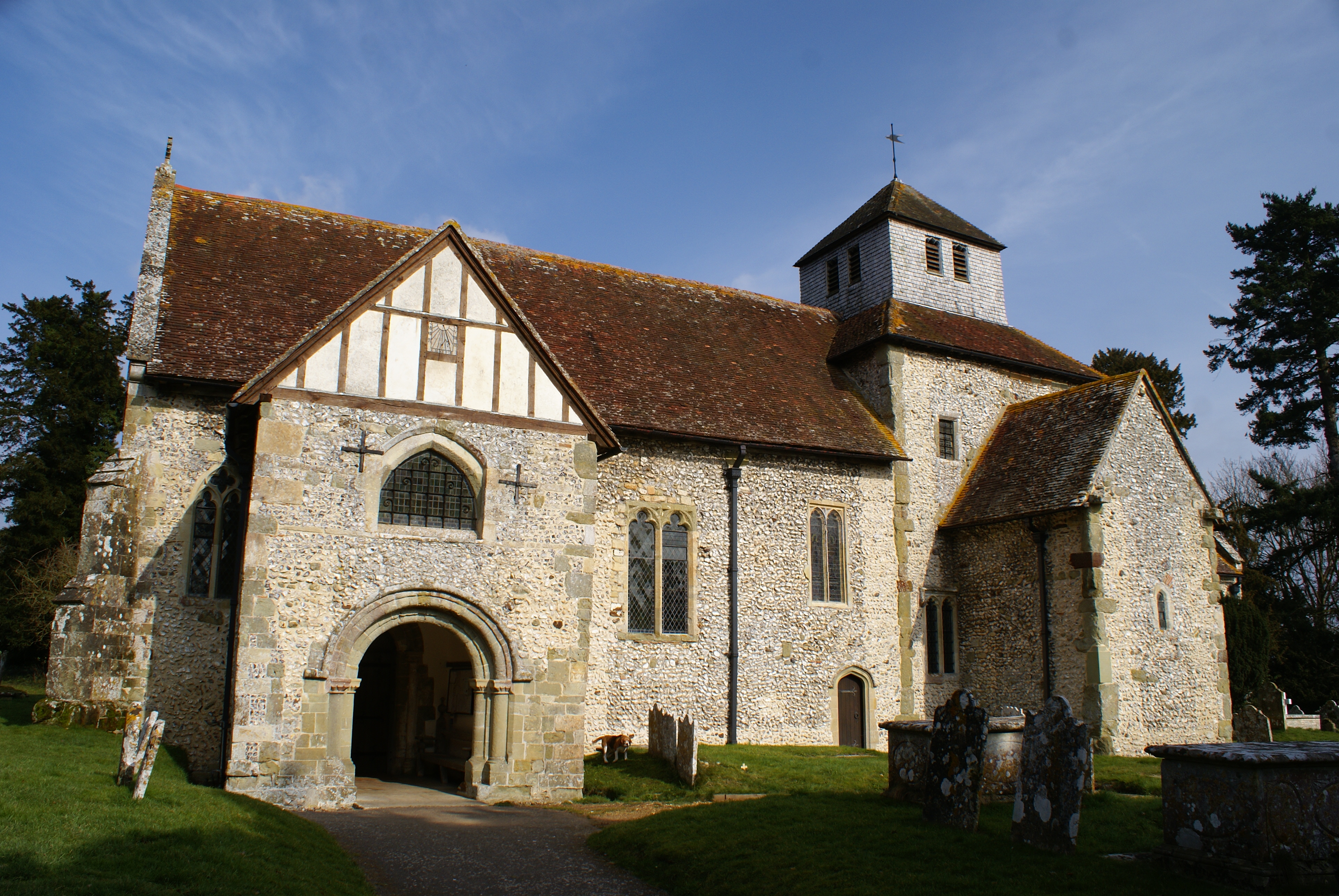
Breamore
Breamore ( BREM-ər) is a village and civil parish near Fordingbridge in Hampshire, England. The parish includes a notable Elizabethan country house, Breamore...
Nearby Amenities
Located within 500m of 50.96091,-1.8100174Have you been to Blackmoor Pond?
Leave your review of Blackmoor Pond below (or comments, questions and feedback).