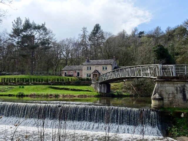
Fishponds Hollow Lake
Lake, Pool, Pond, Freshwater Marsh in Staffordshire East Staffordshire
England
Fishponds Hollow Lake
Fishponds Hollow Lake is a picturesque freshwater body located in the county of Staffordshire, England. Situated in the heart of the countryside, the lake is surrounded by lush greenery and offers a tranquil and serene environment for visitors to enjoy.
Spanning approximately 10 acres, Fishponds Hollow Lake is a popular destination for nature enthusiasts and anglers alike. The lake is well-known for its diverse range of fish species, including carp, roach, perch, and tench, making it a prime spot for fishing enthusiasts to test their skills. Anglers can be seen casting their lines from the banks of the lake, enjoying the peaceful surroundings while waiting for a bite.
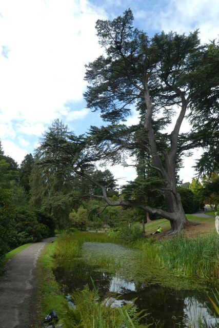
The lake itself is relatively shallow, with an average depth of around 6 feet. It features a sandy bottom and crystal-clear water, providing a perfect habitat for the various fish species that inhabit its waters. The surrounding area is home to a variety of wildlife, including ducks, swans, and other waterfowl, adding to the natural beauty of the lake.
Additionally, Fishponds Hollow Lake offers a range of recreational activities for visitors. There are designated areas for picnicking and barbecues, allowing families and friends to gather and enjoy a day out in nature. The lake also has several walking trails and nature paths, providing opportunities for hikers and nature enthusiasts to explore the surrounding area and observe the local flora and fauna.
Overall, Fishponds Hollow Lake is a charming freshwater body in Staffordshire, offering a peaceful retreat for fishing, nature-watching, and outdoor activities.
If you have any feedback on the listing, please let us know in the comments section below.
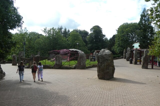
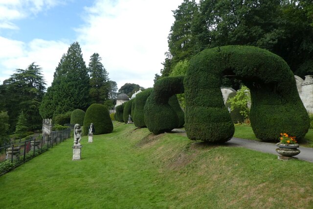
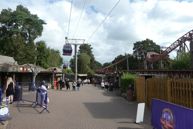
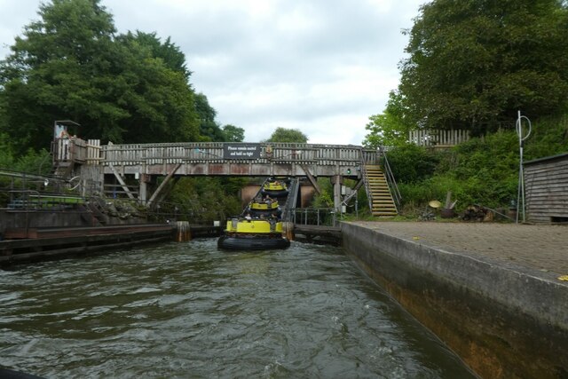
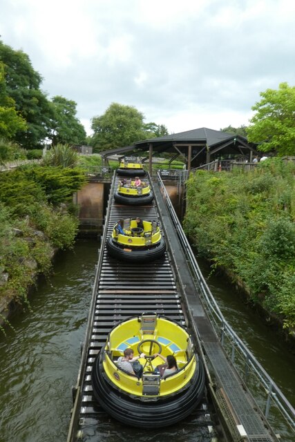
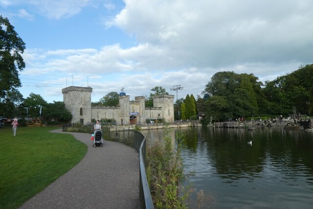
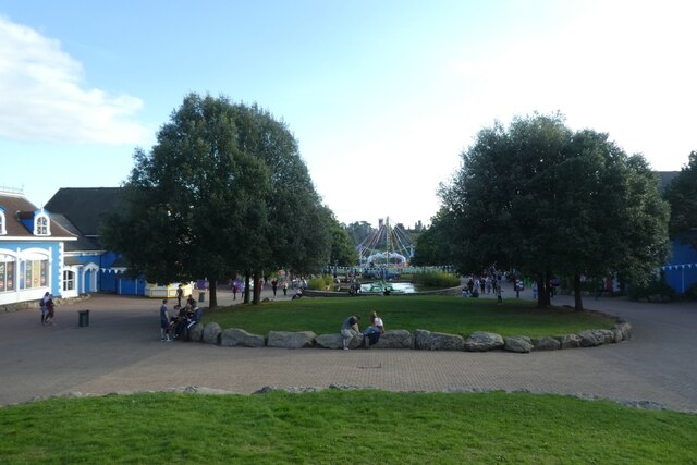
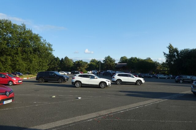
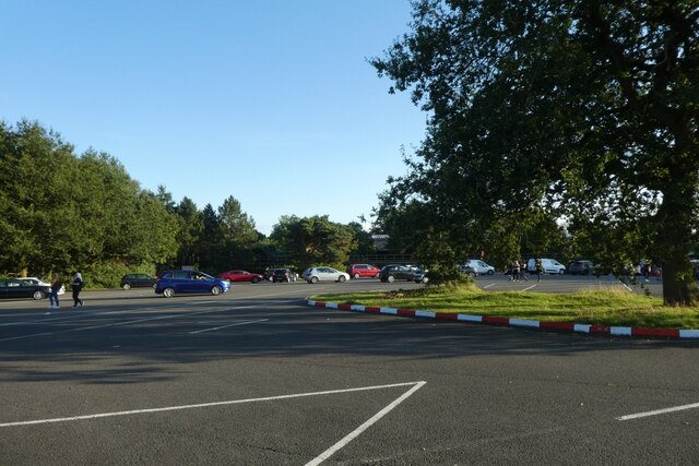
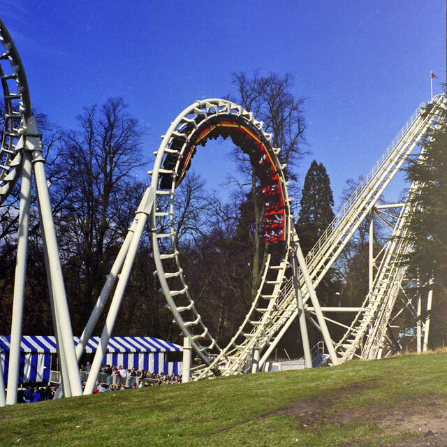
Fishponds Hollow Lake Images
Images are sourced within 2km of 52.990662/-1.8629793 or Grid Reference SK0943. Thanks to Geograph Open Source API. All images are credited.

Fishponds Hollow Lake is located at Grid Ref: SK0943 (Lat: 52.990662, Lng: -1.8629793)
Administrative County: Staffordshire
District: East Staffordshire
Police Authority: Staffordshire
What 3 Words
///bluff.nights.deferring. Near Mayfield, Staffordshire
Nearby Locations
Related Wikis
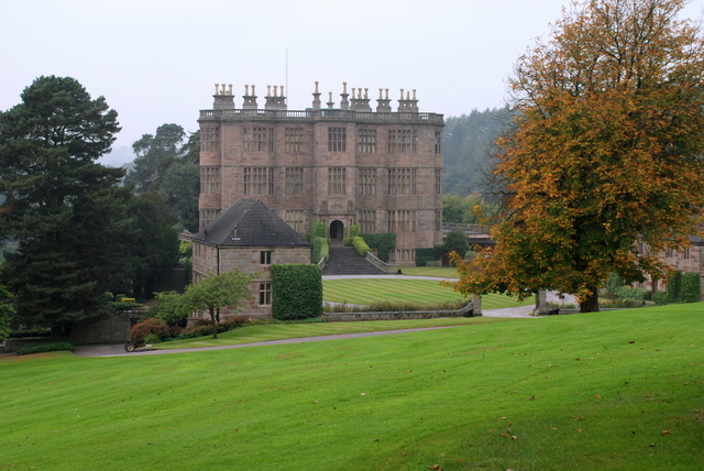
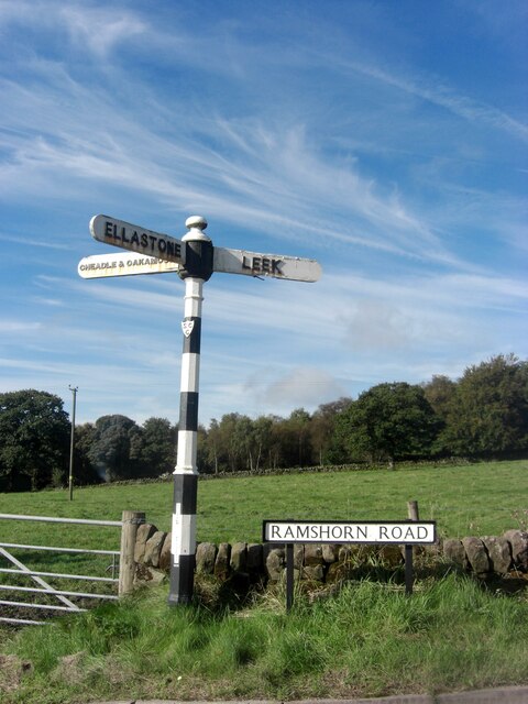
Wootton Lodge
Wootton Lodge is a privately owned 17th-century country house situated at Wootton near Ellastone, Staffordshire, England. It is a Grade I listed building...
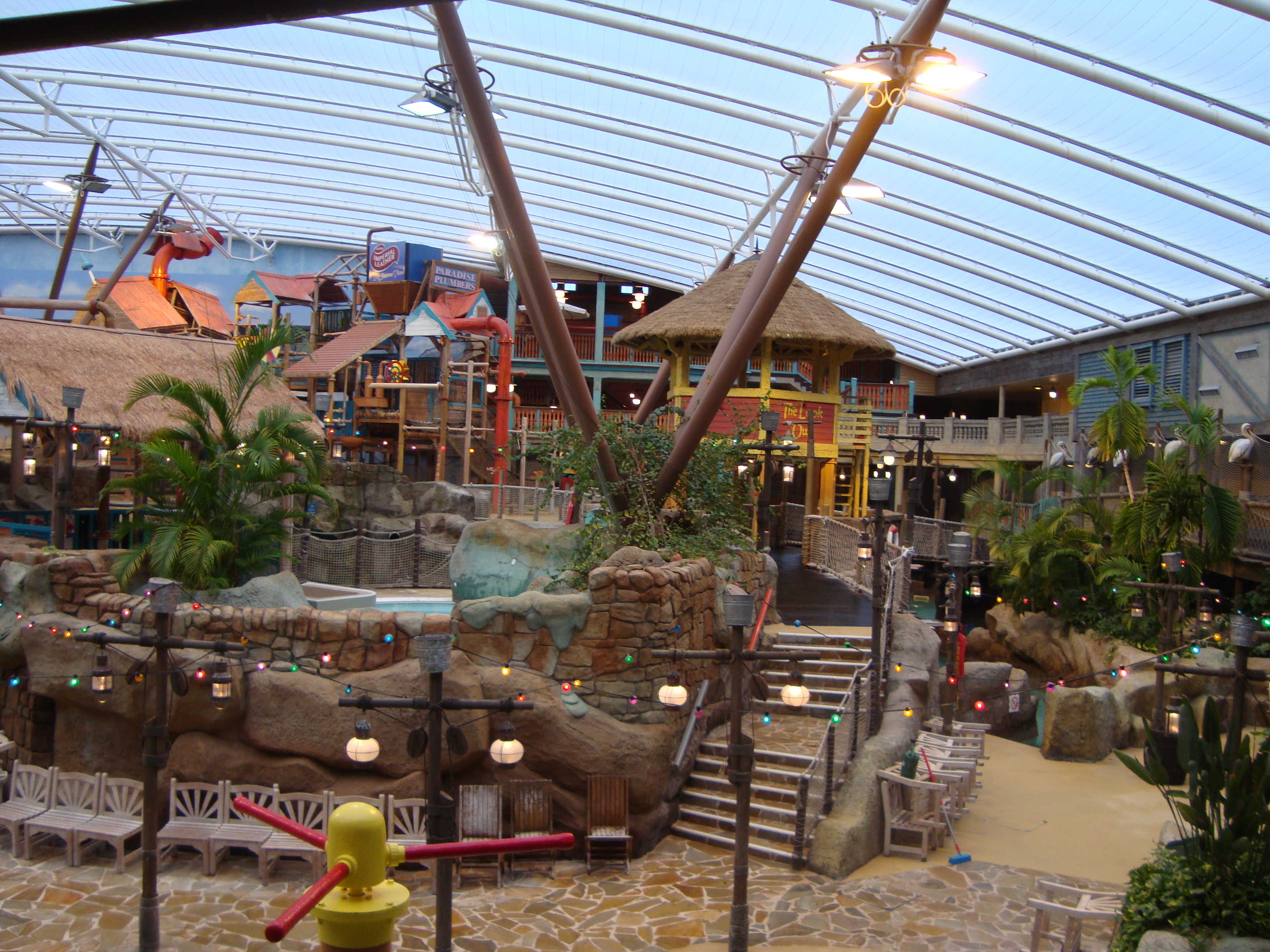
Alton Towers Waterpark
Alton Towers Waterpark, previously known as Cariba Creek, is a water park at Alton Towers Resort, in Staffordshire, England. It is themed to a tropical...

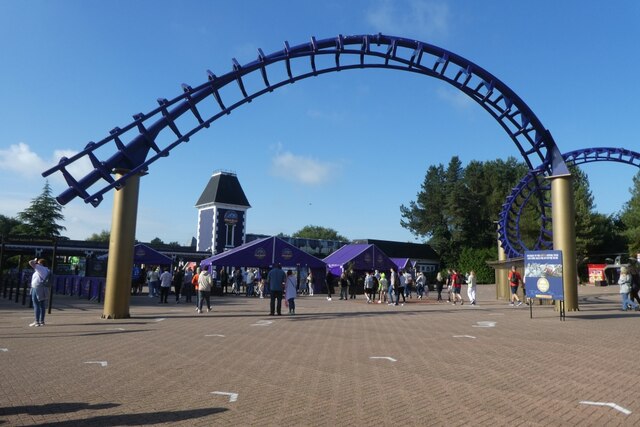
Galactica (roller coaster)
Galactica (formerly known as Air) is a flying roller coaster located in the Forbidden Valley area of Alton Towers amusement park in Staffordshire, England...

Nemesis (roller coaster)
Nemesis is an inverted roller coaster located at the Alton Towers theme park in Staffordshire, England. Manufactured by Bolliger & Mabillard (B&M), the...
Doom & Sons
Doom & Sons was a former attraction in the Talbot Street area of Alton Towers theme park, Staffordshire, England. The attraction was opened in 1981 and...
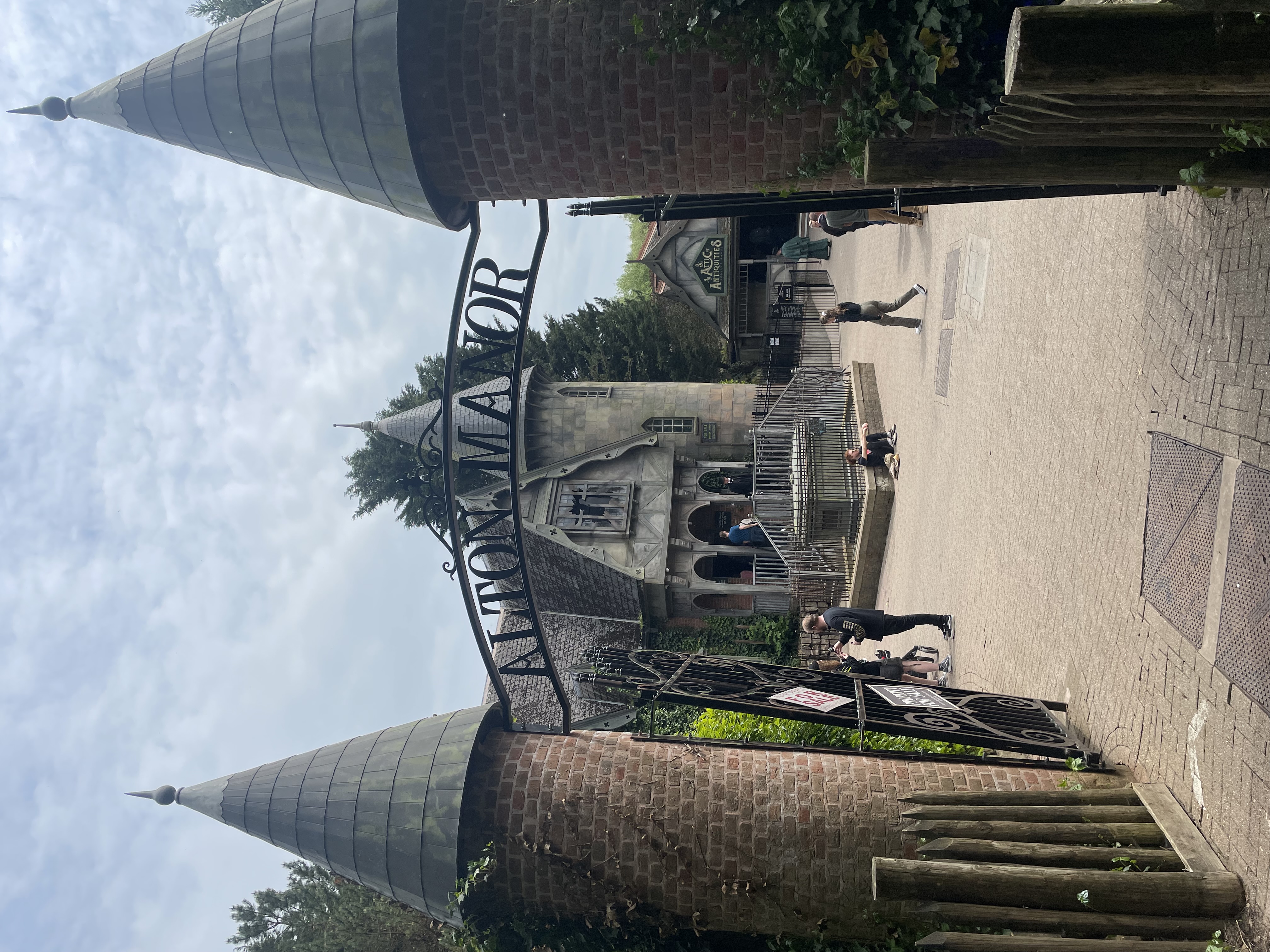
Curse at Alton Manor
The Curse at Alton Manor is a dark ride at the Alton Towers theme park near the village of Alton in Staffordshire, England, opened in 2023. It originally...

Nemesis: Sub-Terra
Nemesis Sub-Terra is a drop tower dark ride located at Alton Towers theme park in Staffordshire, United Kingdom. The ride opened to the public on 24 March...

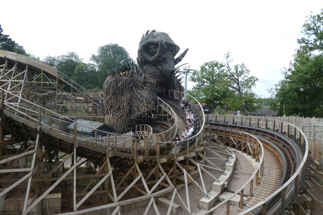
Runaway Mine Train (Alton Towers)
The Runaway Mine Train is a powered steel roller coaster made by MACK Rides of Germany. The ride is located in the Katanga Canyon area of Alton Towers...
Nearby Amenities
Located within 500m of 52.990662,-1.8629793Have you been to Fishponds Hollow Lake?
Leave your review of Fishponds Hollow Lake below (or comments, questions and feedback).