Waste Wood
Wood, Forest in Staffordshire East Staffordshire
England
Waste Wood
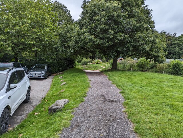
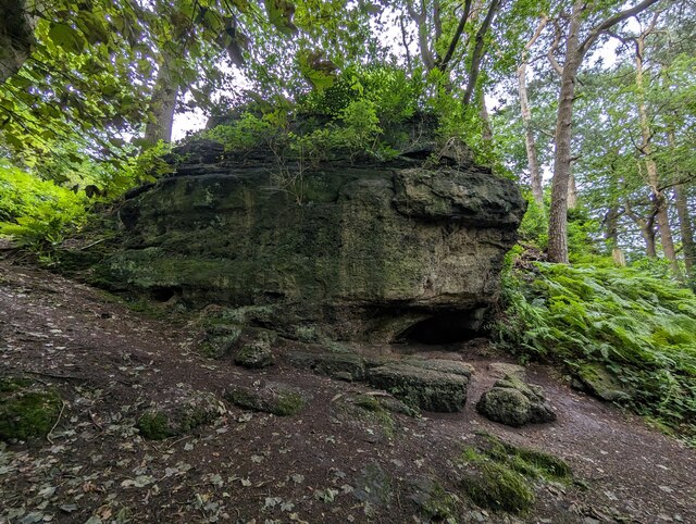
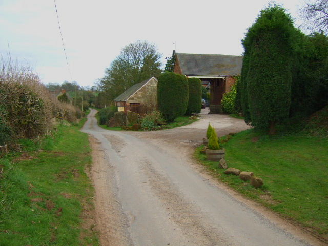
Waste Wood is a picturesque woodland located in Staffordshire, England. Covering an area of approximately 50 hectares, this forested area is renowned for its natural beauty and diverse ecosystem. It is situated near the town of Rugeley and is easily accessible by both car and foot.
The woodland is predominantly composed of deciduous trees, including oak, beech, and birch, which provide a stunning display of colors during the autumn season. These trees also offer a habitat for a variety of wildlife, making it a popular destination for nature enthusiasts and birdwatchers.
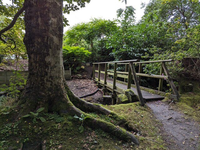
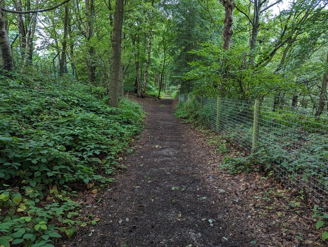
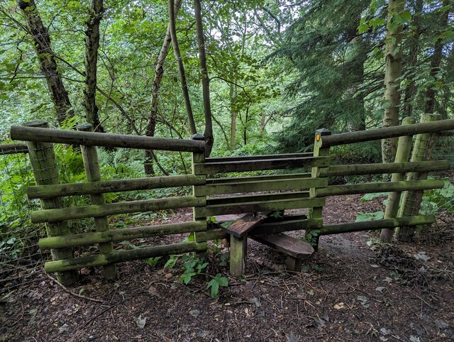
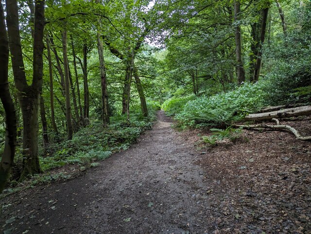
The forest boasts several well-maintained walking trails, allowing visitors to explore its serene surroundings. The pathways are lined with wildflowers and offer breathtaking views of the surrounding countryside. Additionally, there are picnic areas and benches scattered throughout the woodland, providing opportunities for visitors to relax and enjoy the peaceful ambiance.
Waste Wood is also home to a diverse range of animal species, including deer, foxes, and bats. Bird species such as woodpeckers, robins, and owls can be spotted in the area as well. The forest is managed by local authorities to ensure the preservation of its natural habitat and the protection of its wildlife.
Overall, Waste Wood in Staffordshire offers a tranquil escape from the hustle and bustle of daily life. Its natural beauty, rich biodiversity, and well-maintained trails make it an ideal destination for nature lovers and those seeking a peaceful retreat in the heart of England.
If you have any feedback on the listing, please let us know in the comments section below.
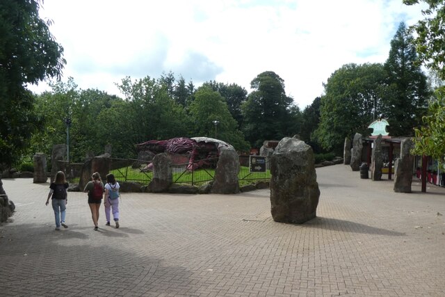
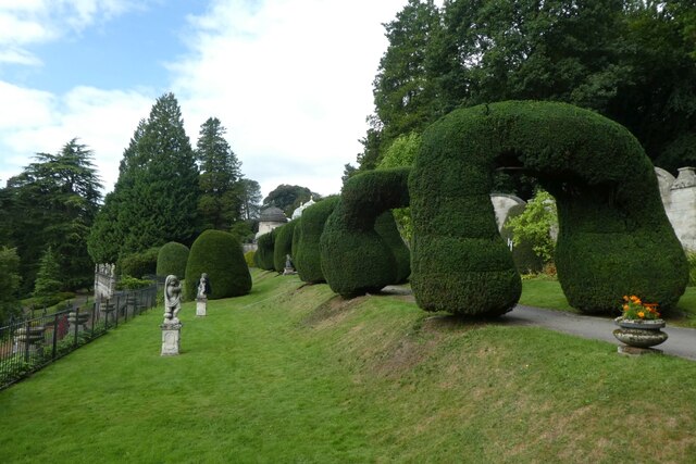
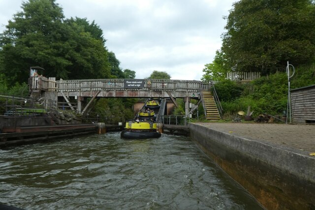
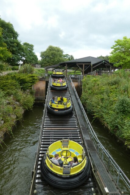
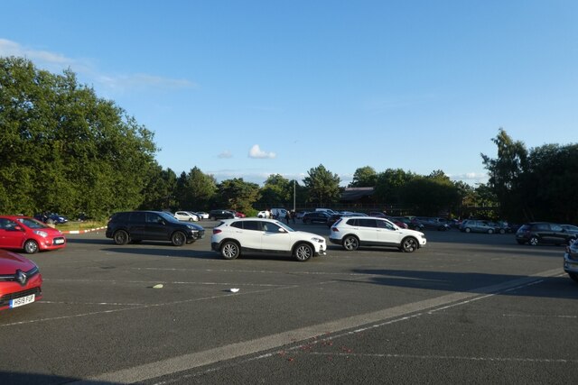
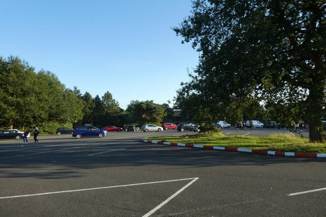
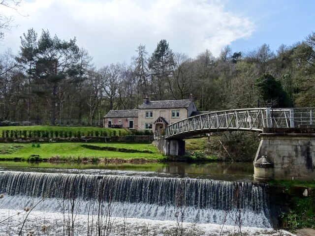
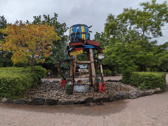
Waste Wood Images
Images are sourced within 2km of 52.984607/-1.8587235 or Grid Reference SK0943. Thanks to Geograph Open Source API. All images are credited.


Waste Wood is located at Grid Ref: SK0943 (Lat: 52.984607, Lng: -1.8587235)
Administrative County: Staffordshire
District: East Staffordshire
Police Authority: Staffordshire
What 3 Words
///resurgent.stumpy.sheet. Near Mayfield, Staffordshire
Nearby Locations
Related Wikis
Wootton Lodge
Wootton Lodge is a privately owned 17th-century country house situated at Wootton near Ellastone, Staffordshire, England. It is a Grade I listed building...
Prestwood, East Staffordshire
Prestwood is a hamlet and former civil parish, now in the parish of Denstone, in the East Staffordshire district, in the county of Staffordshire, England...
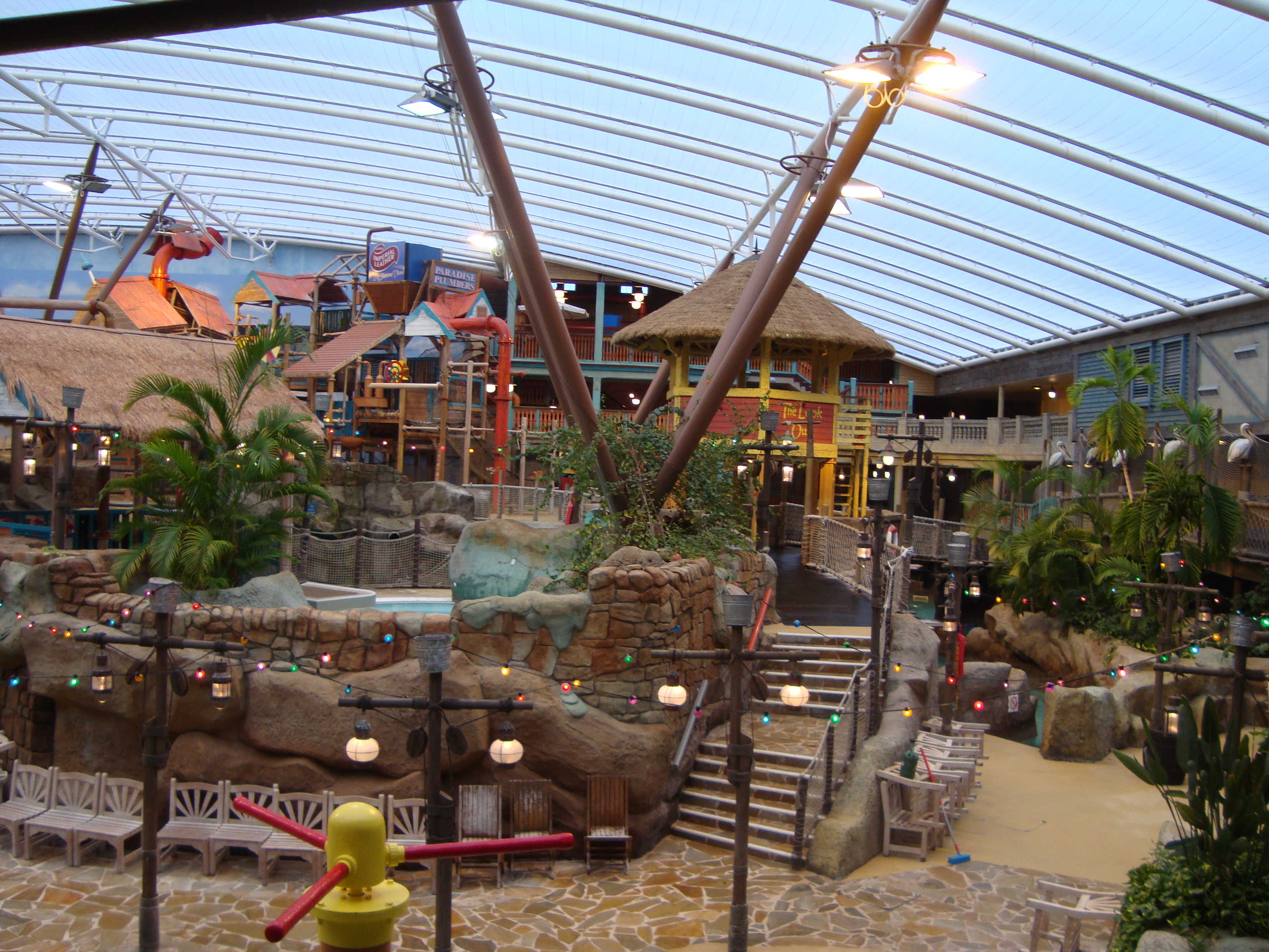
Alton Towers Waterpark
Alton Towers Waterpark, previously known as Cariba Creek, is a water park at Alton Towers Resort, in Staffordshire, England. It is themed to a tropical...

Galactica (roller coaster)
Galactica (formerly known as Air) is a flying roller coaster located in the Forbidden Valley area of Alton Towers amusement park in Staffordshire, England...

Nemesis (roller coaster)
Nemesis is an inverted roller coaster located at the Alton Towers theme park in Staffordshire, England. Manufactured by Bolliger & Mabillard (B&M), the...

Nemesis: Sub-Terra
Nemesis Sub-Terra is a drop tower dark ride located at Alton Towers theme park in Staffordshire, United Kingdom. The ride opened to the public on 24 March...
Doom & Sons
Doom & Sons was a former attraction in the Talbot Street area of Alton Towers theme park, Staffordshire, England. The attraction was opened in 1981 and...
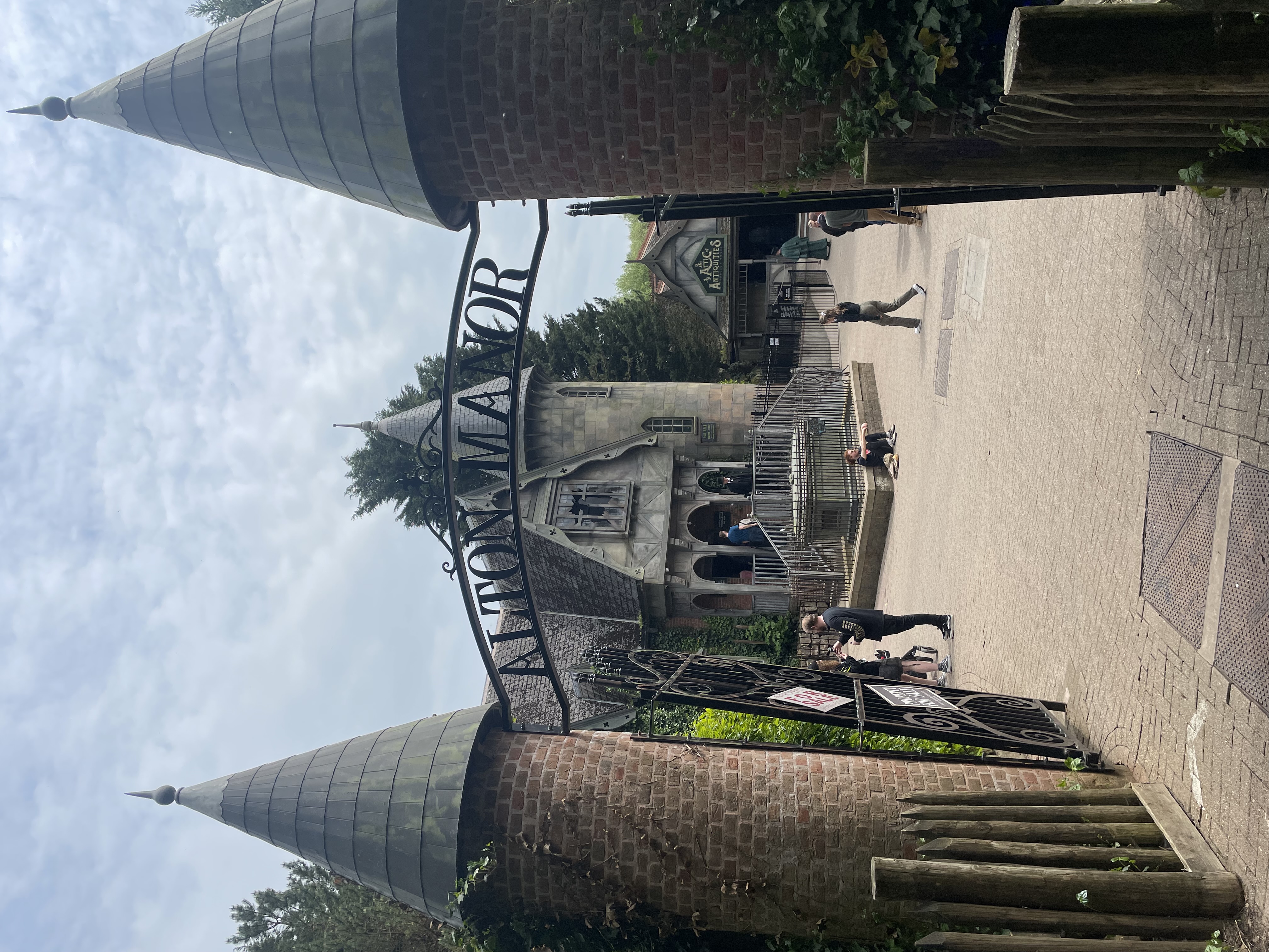
Curse at Alton Manor
The Curse at Alton Manor is a dark ride at the Alton Towers theme park near the village of Alton in Staffordshire, England, opened in 2023. It originally...
Nearby Amenities
Located within 500m of 52.984607,-1.8587235Have you been to Waste Wood?
Leave your review of Waste Wood below (or comments, questions and feedback).