Coverdale Tarn

Lake, Pool, Pond, Freshwater Marsh in Yorkshire Richmondshire

England

Coverdale Tarn

Snowed heather tussocks on Great Haw The view east from Great Haw over moorland with the undulating ground of the North Yorks Moors in the distance. The stream groove to the right in the image will be of a tributary of Steel House Gill.
Snowed heather tussocks on Great Haw Credit: Trevor Littlewood

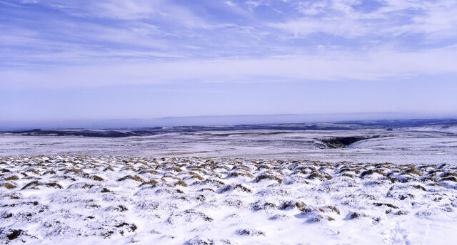
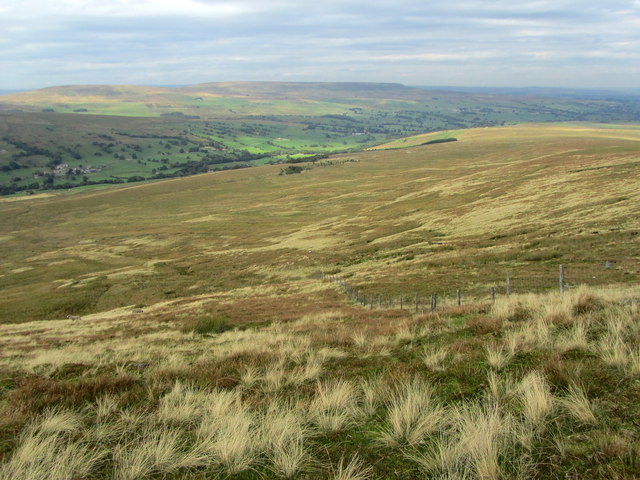
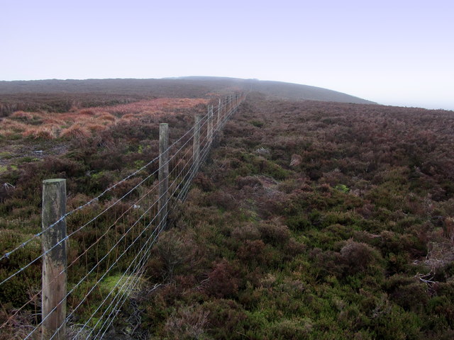
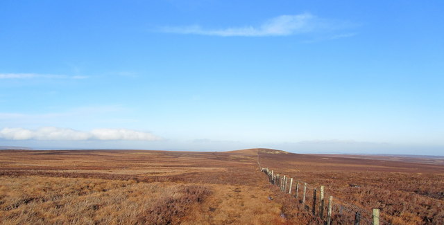
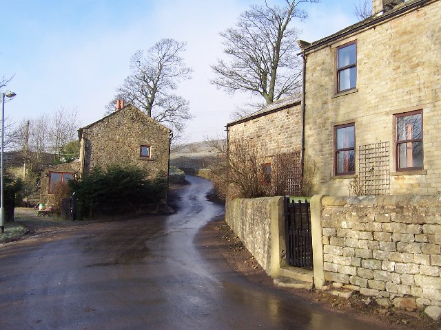
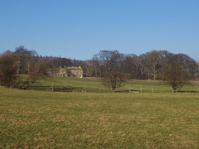
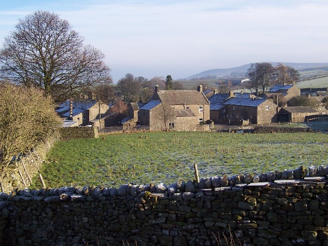
Coverdale Tarn, located in the picturesque region of Yorkshire, England, is a freshwater lake nestled amidst the breathtaking landscapes of the Yorkshire Dales National Park. This natural gem is situated within the renowned Coverdale Valley, which is characterized by its rolling hills, lush green meadows, and idyllic countryside scenery.

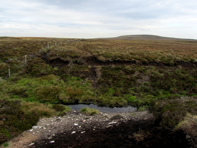
Coverdale Tarn is a relatively small body of water, often referred to as a tarn, pond, or pool due to its size. It spans approximately X acres and is surrounded by a diverse array of flora and fauna, making it a haven for wildlife enthusiasts and nature lovers. The tarn is fed by several streams that traverse the surrounding hills, ensuring a constant flow of fresh, clear water.

The lake's tranquil ambiance is enhanced by the absence of motorized boats, making it an ideal spot for peaceful activities such as fishing, birdwatching, or simply enjoying a leisurely stroll along its banks. The tarn is well-known for its abundance of fish, including trout and perch, attracting anglers seeking a rewarding catch.

Coverdale Tarn is also home to a variety of waterfowl species, such as mallards and tufted ducks, which can often be observed gracefully gliding across its surface. Its surrounding marshland provides an important habitat for numerous plants and wildlife, including reeds, rushes, and dragonflies.

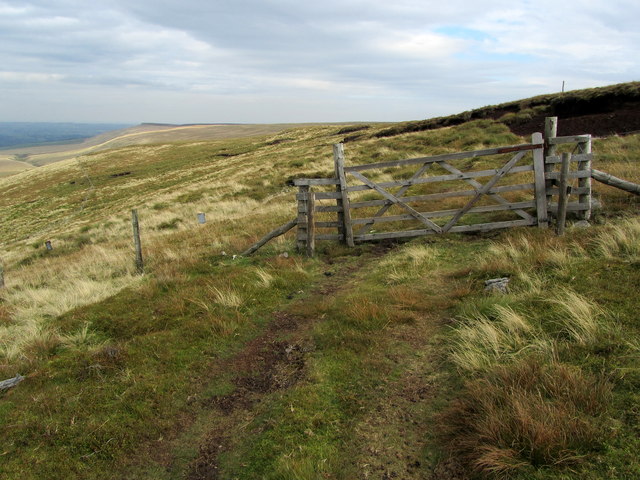
Visitors to Coverdale Tarn can take advantage of the nearby footpaths and trails that offer stunning panoramic views of the surrounding countryside. The tranquil atmosphere and natural beauty make this hidden gem a popular destination for those seeking solace and a connection with nature in the heart of Yorkshire.

If you have any feedback on the listing, please let us know in the comments section below.

Coverdale Tarn Images

Images are sourced within 2km of 54.211/-1.8913782 or Grid Reference SE0779. Thanks to Geograph Open Source API. All images are credited.

Snowed heather tussocks on Great Haw The view east from Great Haw over moorland with the undulating ground of the North Yorks Moors in the distance. The stream groove to the right in the image will be of a tributary of Steel House Gill.
Snowed heather tussocks on Great Haw
The view east from Great Haw over moorland with the undulating ground of the North Yorks Moors in the distance. The stream groove to the right in the image will be of a tributary of Steel House Gill.
Woo Gill Woo Gill joins the River Nidd below Scar House Dam having flowed down from Woogill Tarn on the Nidderdale / Coverdale watershed. In fact the O.S. map seem to show that Woogill Tarn is the source of streams which flow into both valleys from outlets to the North (to Coverdale) and South (to Nidderdale)
Woo Gill
Woo Gill joins the River Nidd below Scar House Dam having flowed down from Woogill Tarn on the Nidderdale / Coverdale watershed. In fact the O.S. map seem to show that Woogill Tarn is the source of streams which flow into both valleys from outlets to the North (to Coverdale) and South (to Nidderdale)
Stone Pillar This Stone Pillar overlooks Woo Gill and is a fine viewpoint for Upper Nidderdale.
The Hill in the background is Great Haw on the ridge of high ground separating Coverdale and Nidderdale.
Stone Pillar
This Stone Pillar overlooks Woo Gill and is a fine viewpoint for Upper Nidderdale. The Hill in the background is Great Haw on the ridge of high ground separating Coverdale and Nidderdale.
On Carle Fell An area of hopelessness - scrawny heather interspersed with deep peat gulleys lined with stagnant water.
On Carle Fell
An area of hopelessness - scrawny heather interspersed with deep peat gulleys lined with stagnant water.
On the Lip of Arkleside Moor A track runs along the lip of a steep slope below Arkleside Moor - but is not shown on the definitive map.
On the Lip of Arkleside Moor
A track runs along the lip of a steep slope below Arkleside Moor - but is not shown on the definitive map.
A View over Coverdale Great vistas can be appreciated on the descent of Carle Fell and Arkleside Moor into Coverdale.
A View over Coverdale
Great vistas can be appreciated on the descent of Carle Fell and Arkleside Moor into Coverdale.
Nidderdale Way approaching Woodale The long distance footpath in Upper Nidderdale - crossing a section of moorland.
Nidderdale Way approaching Woodale
The long distance footpath in Upper Nidderdale - crossing a section of moorland.
Nidderdale Way heading for Scar House The long distance path adopts a pleasant track high above Upper Nidderdale affording excellent views towards Scar House Reservoir
Nidderdale Way heading for Scar House
The long distance path adopts a pleasant track high above Upper Nidderdale affording excellent views towards Scar House Reservoir
Woo Gill Seen at the point where the Nidderdale Way crosses this gill - looking downstream.
It rises below the western flanks of Great Haw, at an extremely boggy area of moorland called Woogill Tarn - gathering momentum, before crashing down the valley side to reach the Nidd below Scar House Reservoir.
Woo Gill
Seen at the point where the Nidderdale Way crosses this gill - looking downstream. It rises below the western flanks of Great Haw, at an extremely boggy area of moorland called Woogill Tarn - gathering momentum, before crashing down the valley side to reach the Nidd below Scar House Reservoir.
South Haw At 499 metres this small height rises out of a sea of moorland - and is visible from miles around.
South Haw
At 499 metres this small height rises out of a sea of moorland - and is visible from miles around.
Fence leading up to South Haw The summit just visible below a low cloud ceiling - an island in a sea of moor.
Fence leading up to South Haw
The summit just visible below a low cloud ceiling - an island in a sea of moor.
Bridleway approaching Steel House Gill Part of the bridleway between South Haw and the upper reaches of Steel House Gill.  This is unusual for a bridleway, or indeed public footpath crossing the extensive and tractless moors of this area - it is actually visible on the ground and easy to follow, in fact a pleasure to follow.
Bridleway approaching Steel House Gill
Part of the bridleway between South Haw and the upper reaches of Steel House Gill. This is unusual for a bridleway, or indeed public footpath crossing the extensive and tractless moors of this area - it is actually visible on the ground and easy to follow, in fact a pleasure to follow.
Bridleway between South Haw and Steel House Gill Isolated and deserted bridleway carving its way through tractless moorland - amazingly it is visible on the ground with evidence of usage.
Bridleway between South Haw and Steel House Gill
Isolated and deserted bridleway carving its way through tractless moorland - amazingly it is visible on the ground with evidence of usage.
View towards Little Haw Looking north from the base of Great Haw - towards its little brother.
View towards Little Haw
Looking north from the base of Great Haw - towards its little brother.
Woogill Tarn in Winter The tarn is surrounded by a large area of squelchy morass and worse - especially after heavy rainfall.  Walkers should beware, less they disappear without trace beneath the bogs of Woogill Tarn
I sought refuge by walking away to the south, and descending into Nidderdale.
Woogill Tarn in Winter
The tarn is surrounded by a large area of squelchy morass and worse - especially after heavy rainfall. Walkers should beware, less they disappear without trace beneath the bogs of Woogill Tarn I sought refuge by walking away to the south, and descending into Nidderdale.
Shooting Track below Carle Fell Part of the track that ascends from Nidderdale to terminate below Haugh Crags
Shooting Track below Carle Fell
Part of the track that ascends from Nidderdale to terminate below Haugh Crags
Track on North Moor The definitive map shows a track running in a straight line towards Nidderdale - but on the ground it has all but disappeared, as has the wall that accompanies it.
Track on North Moor
The definitive map shows a track running in a straight line towards Nidderdale - but on the ground it has all but disappeared, as has the wall that accompanies it.
Shooting Track descending into Woodale Sharp descent towards the narrow valley containing the rushing waters of Woo Gill.
Shooting Track descending into Woodale
Sharp descent towards the narrow valley containing the rushing waters of Woo Gill.
Show me another place!

Coverdale Tarn is located at Grid Ref: SE0779 (Lat: 54.211, Lng: -1.8913782)

Division: North Riding

Administrative County: North Yorkshire

District: Richmondshire

Police Authority: North Yorkshire

What 3 Words

///hooked.youth.airfields. Near Leyburn, North Yorkshire

Nearby Locations

Coverdale Tarn Great Haw

Related Wikis

Nidd Aqueduct

The Nidd Aqueduct is an aqueduct or man-made watercourse in North Yorkshire, England. It feeds water from Angram and Scar House reservoirs in upper Nidderdale...

Scar House Reservoir

Scar House Reservoir is the second of the three reservoirs in Upper Nidderdale, North Yorkshire, England, the others are Angram Reservoir and Gouthwaite...

Horsehouse

Horsehouse is a village in Coverdale in the Yorkshire Dales, North Yorkshire, England. It is listed as a hamlet in many texts, but the presence of the...

Braidley

Braidley is a hamlet in Coverdale in the Yorkshire Dales, England. It lies in the civil parish of Carlton Highdale in the Richmondshire district of North...

Gammersgill

Gammersgill is a hamlet in Coverdale in the Yorkshire Dales, North Yorkshire, England. It is about 7 miles (11 km) south-west of Leyburn. The toponym is...

West Scrafton

West Scrafton is a village and civil parish in Coverdale in the Yorkshire Dales, England. It is located 4 miles (6.4 km) south west of Leyburn. It falls...

Nidderdale Caves

The Nidderdale Caves are a series of caves in Upper Nidderdale in North Yorkshire, England. There are two cave systems and most of the caves are in some...

Coverdale, North Yorkshire

Coverdale is a dale in the far east of the Yorkshire Dales, North Yorkshire, England. It takes its name from the River Cover, a tributary of the River...

Nearby Amenities

Located within 500m of 54.211,-1.8913782
Great Haw
Ele: 544.4
Is In: UK,Yorkshire,North Yorkshire,Nidderdale
Is In Country: UK
Is In County: North Yorkshire
Is In Historical County: Yorkshire
Natural: peak
Source: NPE
Lat/Long: 54.2097394/-1.8876436
The data included in this document is from www.openstreetmap.org. The data is made available under ODbL.

Have you been to Coverdale Tarn?

Leave your review of Coverdale Tarn below (or comments, questions and feedback).