Balkers Dub
Lake, Pool, Pond, Freshwater Marsh in Yorkshire Craven
England
Balkers Dub
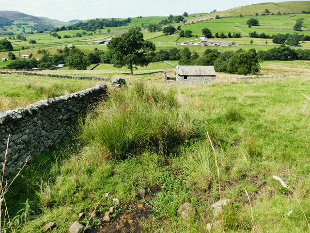
Balkers Dub is a picturesque freshwater ecosystem located in the heart of Yorkshire, England. This serene natural habitat encompasses a lake, pool, pond, and a freshwater marsh, making it a thriving haven for various species of flora and fauna.
The lake, with its crystal-clear waters, is the central feature of Balkers Dub. Spanning several hectares, it provides a vital source of water for the surrounding vegetation and wildlife. The lake is home to a diverse array of aquatic plants, such as water lilies and reeds, which create a lush and vibrant environment.
Adjacent to the lake is a tranquil pool that serves as a refuge for many amphibians, including frogs and newts. This small body of water offers a safe breeding ground and shelter for these fascinating creatures. Visitors to Balkers Dub can often observe the mesmerizing sight of frogs leaping from lily pad to lily pad or the graceful movements of newts gliding through the water.
A charming pond can also be found within the vicinity of Balkers Dub. This smaller water body provides a habitat for a variety of insects, such as dragonflies and water beetles. Its still and shallow waters are an ideal environment for these creatures to thrive and reproduce.
Lastly, the freshwater marsh in Balkers Dub is a unique and valuable feature. This marshland is characterized by its soft, wet ground and is home to numerous wetland plants, including sedges and rushes. It acts as a natural filtration system, purifying the water and providing a habitat for many bird species, such as ducks and herons.
Overall, Balkers Dub in Yorkshire is a remarkable ecosystem that showcases the beauty and diversity of freshwater environments. It serves as an important refuge for a wide range of plant and animal species, making it a must-visit destination for nature enthusiasts and wildlife lovers.
If you have any feedback on the listing, please let us know in the comments section below.
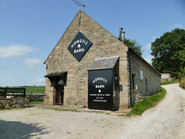
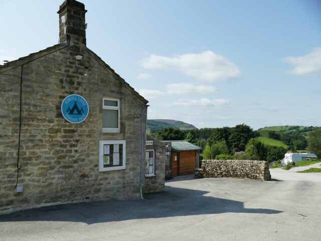
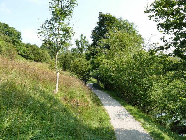
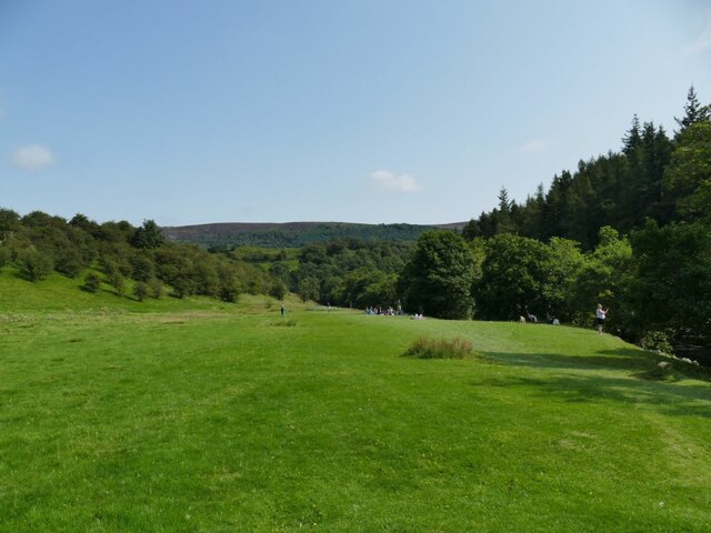
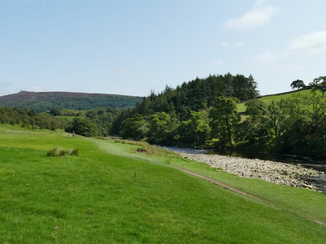
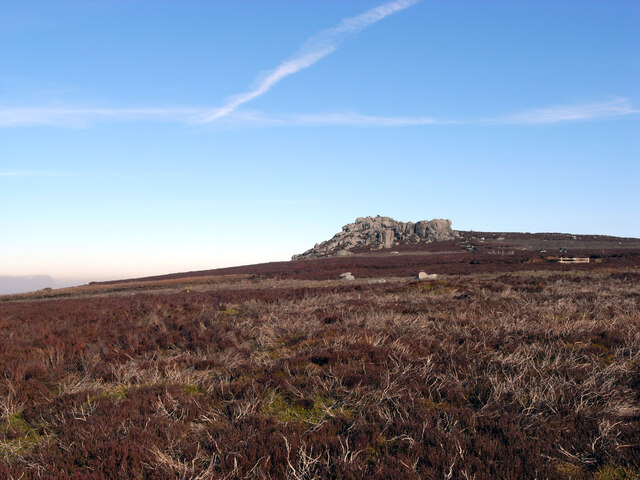
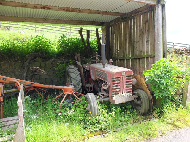
Balkers Dub Images
Images are sourced within 2km of 54.034624/-1.9057922 or Grid Reference SE0659. Thanks to Geograph Open Source API. All images are credited.


Balkers Dub is located at Grid Ref: SE0659 (Lat: 54.034624, Lng: -1.9057922)
Division: West Riding
Administrative County: North Yorkshire
District: Craven
Police Authority: North Yorkshire
What 3 Words
///hiring.nurtures.survey. Near Grassington, North Yorkshire
Nearby Locations
Related Wikis

Skyreholme
Skyreholme is a hamlet in Wharfedale in the Yorkshire Dales, North Yorkshire, England. It lies 1-mile (1.6 km) east of Appletreewick, in the small side...

Appletreewick
Appletreewick is a village and civil parish in the Craven district of North Yorkshire, England, 6.5 miles (10.5 km) north-east of Skipton, 7 miles (11...

Parcevall Hall
Parcevall Hall -- also known as Parceval Hall -- and its gardens are located at Skyreholme near Appletreewick village, Wharfedale, North Yorkshire, England...

Simon's Seat
Simon's Seat is a peak in the Yorkshire Dales in northern England. It is a prominent outcrop of millstone grit on the eastern side of Wharfedale. Although...

Trollers Gill
Trollers Gill is a limestone gill or gorge in North Yorkshire, England, close to the village of Skyreholme and 4.7 miles (7.5 km) south-east of Grassington...

River Dibb
The River Dibb, also known as Barben Beck, is a small river located in North Yorkshire, England. It is a tributary of the River Wharfe. Grimwith Reservoir...

Hartlington
Hartlington is a small village and civil parish in the Craven district of North Yorkshire, England. At the 2011 Census, the population of the parish was...

Barden Tower
Barden Tower is a ruined building in the Parish of Barden, in Wharfedale, North Yorkshire, England. The tower was used as a hunting lodge in the 15th and...
Nearby Amenities
Located within 500m of 54.034624,-1.9057922Have you been to Balkers Dub?
Leave your review of Balkers Dub below (or comments, questions and feedback).