Upper Fell Plantation
Wood, Forest in Yorkshire Craven
England
Upper Fell Plantation
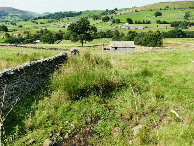
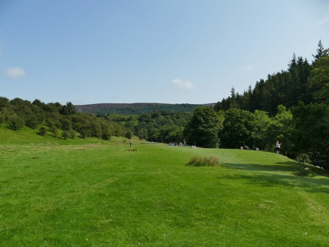
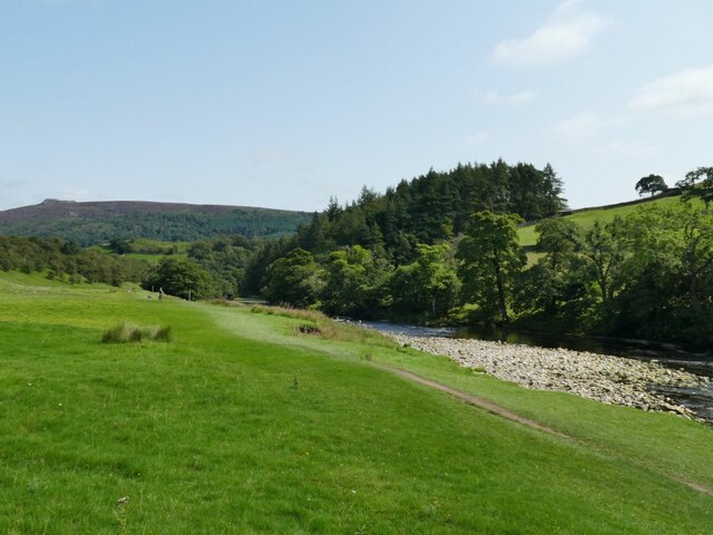
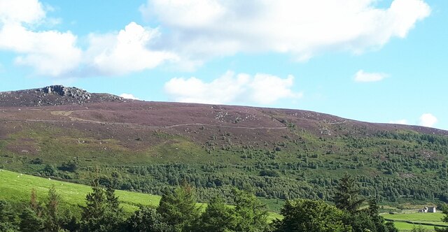
Upper Fell Plantation is a picturesque woodland area located in the county of Yorkshire, England. Situated in the heart of the countryside, this beautiful forest covers an expansive area of land and is a popular destination for nature enthusiasts and hikers alike.
The plantation is characterized by its dense foliage and towering trees, creating a tranquil and serene atmosphere. The woodland is predominantly made up of native tree species such as oak, beech, and birch, which provide a rich and diverse habitat for various wildlife.
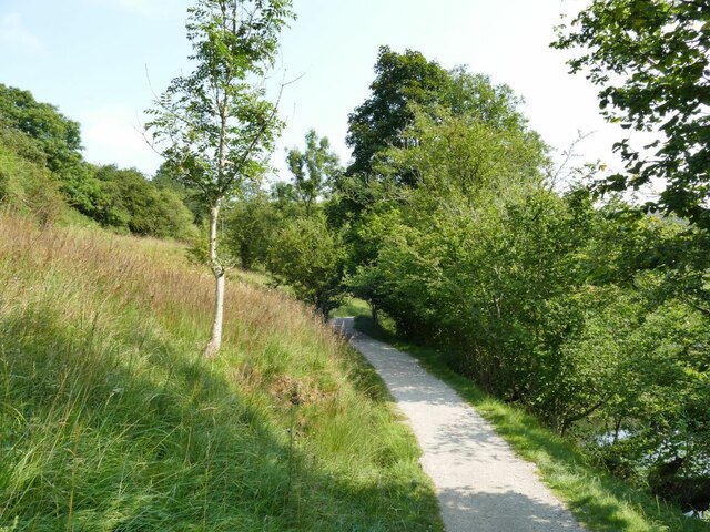
The plantation is crisscrossed by a network of well-maintained trails, allowing visitors to explore the area at their leisure. These paths wind through the forest, offering breathtaking views of the surrounding countryside and providing ample opportunities for birdwatching and wildlife spotting.
Upper Fell Plantation is also home to a diverse range of flora and fauna. Rare and protected species such as red squirrels, badgers, and various birds can be spotted within the woodland. The plantation is also known for its vibrant wildflower displays during the spring and summer months, adding to the natural beauty of the area.
The plantation is managed by a dedicated team of conservationists who work tirelessly to preserve its natural beauty and protect the wildlife that calls it home. They ensure that the woodland remains accessible to the public while also maintaining a sustainable balance between human activity and the environment.
Overall, Upper Fell Plantation offers visitors a chance to immerse themselves in the tranquility of nature, providing a haven for wildlife and a peaceful retreat for those seeking solace in the beauty of the Yorkshire countryside.
If you have any feedback on the listing, please let us know in the comments section below.
Upper Fell Plantation Images
Images are sourced within 2km of 54.031192/-1.8967163 or Grid Reference SE0659. Thanks to Geograph Open Source API. All images are credited.


Upper Fell Plantation is located at Grid Ref: SE0659 (Lat: 54.031192, Lng: -1.8967163)
Division: West Riding
Administrative County: North Yorkshire
District: Craven
Police Authority: North Yorkshire
What 3 Words
///figure.rope.protrude. Near Grassington, North Yorkshire
Nearby Locations
Related Wikis

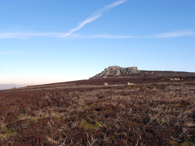
Simon's Seat
Simon's Seat is a peak in the Yorkshire Dales in northern England. It is a prominent outcrop of millstone grit on the eastern side of Wharfedale. Although...

Skyreholme
Skyreholme is a hamlet in Wharfedale in the Yorkshire Dales, North Yorkshire, England. It lies 1-mile (1.6 km) east of Appletreewick, in the small side...

Parcevall Hall
Parcevall Hall -- also known as Parceval Hall -- and its gardens are located at Skyreholme near Appletreewick village, Wharfedale, North Yorkshire, England...

Appletreewick
Appletreewick is a village and civil parish in the Craven district of North Yorkshire, England, 6.5 miles (10.5 km) north-east of Skipton, 7 miles (11...
Nearby Amenities
Located within 500m of 54.031192,-1.8967163Have you been to Upper Fell Plantation?
Leave your review of Upper Fell Plantation below (or comments, questions and feedback).