Chew Reservoir
Lake, Pool, Pond, Freshwater Marsh in Yorkshire
England
Chew Reservoir
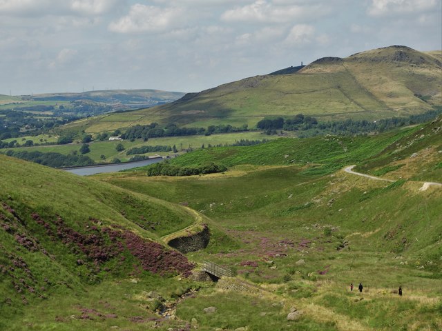
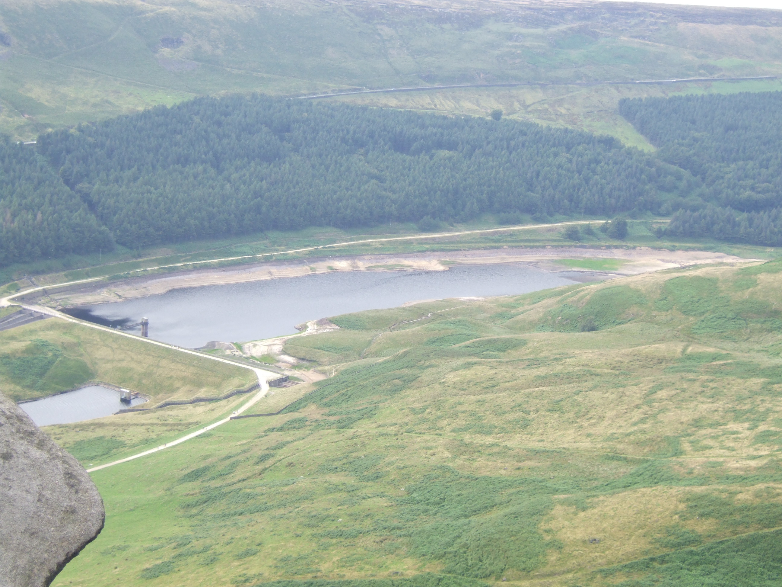
Chew Reservoir is a large freshwater lake located in the county of Yorkshire, England. Situated in the Pennine Hills, it is situated within the picturesque landscape of the South Pennines, near the village of Greenfield.
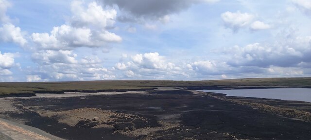
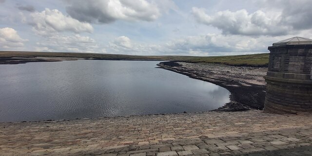
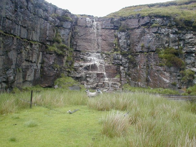
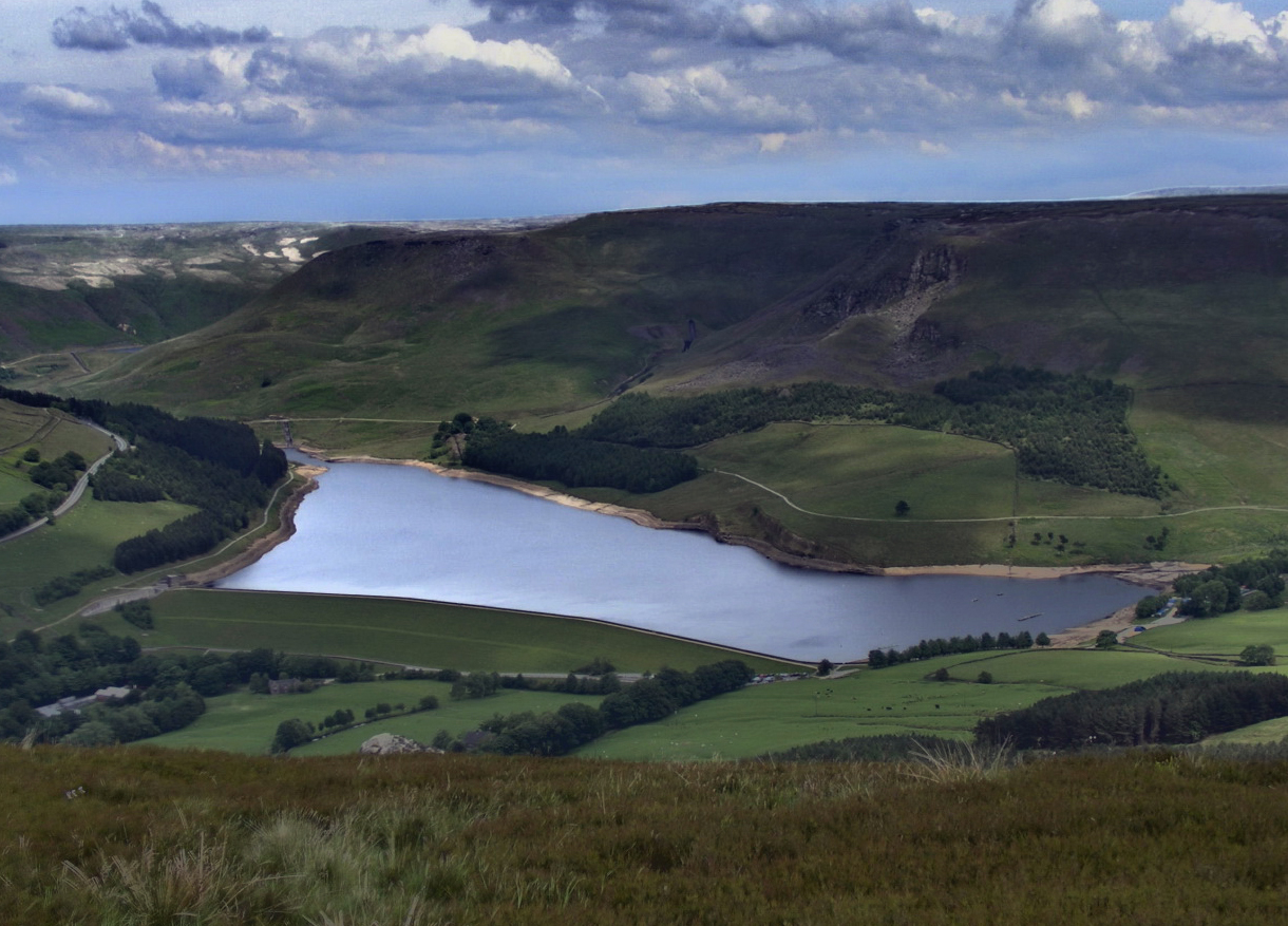
Covering an area of approximately 48 hectares, Chew Reservoir is well-known for its natural beauty and stunning surroundings. It was originally constructed in the late 19th century to supply water to the growing population of nearby towns and cities. The reservoir is primarily fed by the River Chew and numerous streams that flow through the surrounding valleys.
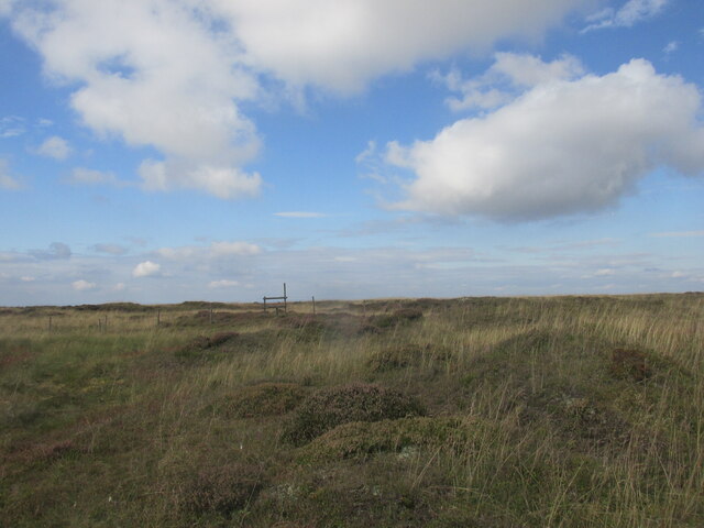
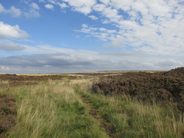
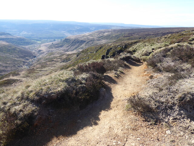
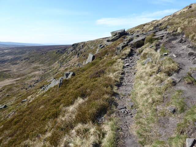
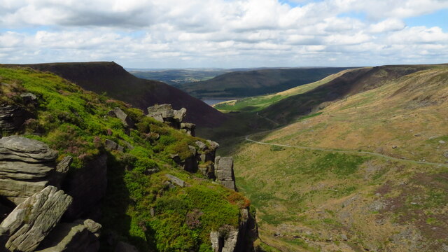
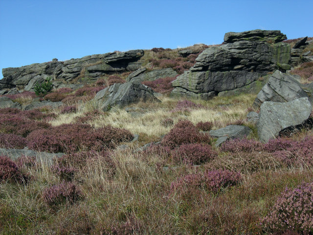
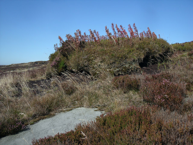
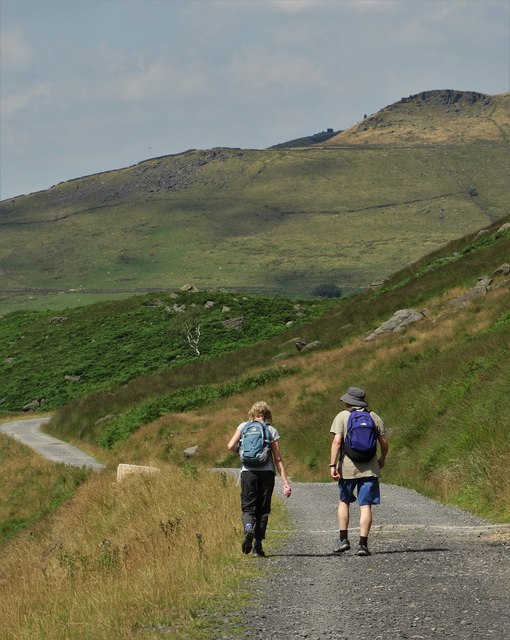
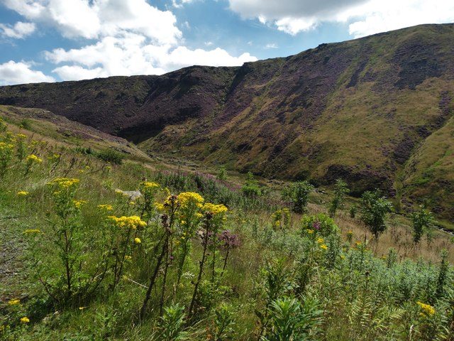
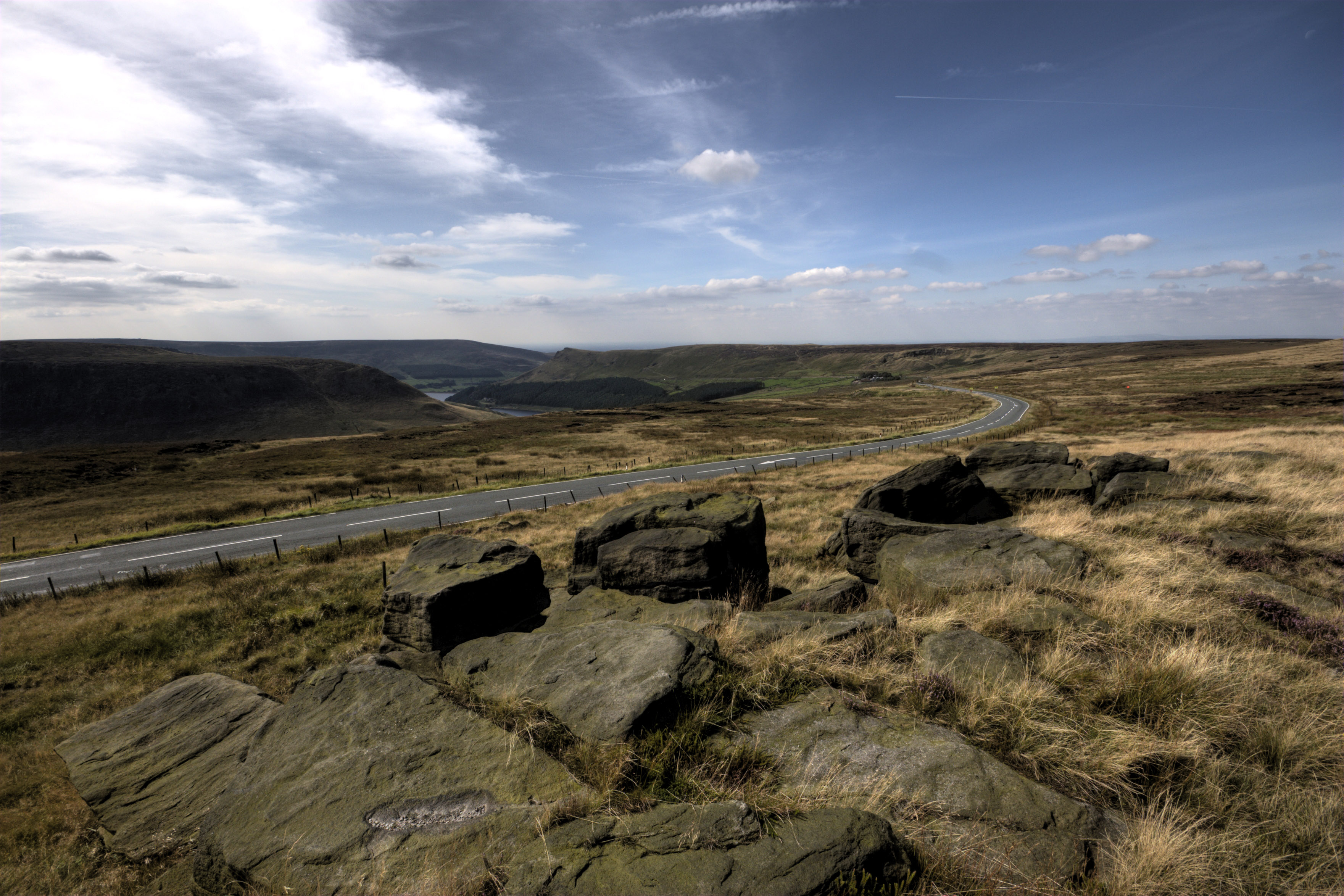
The lake itself is surrounded by rolling hills and moorland, offering visitors breathtaking views of the surrounding countryside. The area is home to a diverse range of flora and fauna, making it a popular destination for nature enthusiasts and birdwatchers. It supports a variety of bird species, including waterfowl such as mallards and tufted ducks, as well as wading birds like lapwings and curlews.
Chew Reservoir also provides a habitat for freshwater fish, including brown trout and pike, making it a popular spot for anglers. Fishing is permitted in designated areas, subject to obtaining the necessary permits and following local regulations.
Visitors to Chew Reservoir can enjoy a range of recreational activities, including walking, hiking, and picnicking. There are several walking trails that take visitors around the reservoir, offering opportunities to explore the surrounding countryside and enjoy the tranquility of the area.
Overall, Chew Reservoir is a stunning freshwater lake nestled within the picturesque landscape of Yorkshire, offering visitors a chance to immerse themselves in nature and enjoy the beauty of the South Pennines.
If you have any feedback on the listing, please let us know in the comments section below.
Chew Reservoir Images
Images are sourced within 2km of 53.514557/-1.9425056 or Grid Reference SE0301. Thanks to Geograph Open Source API. All images are credited.


Chew Reservoir is located at Grid Ref: SE0301 (Lat: 53.514557, Lng: -1.9425056)
Division: West Riding
Unitary Authority: Oldham
Police Authority: Greater Manchester
What 3 Words
///winks.liberty.premature. Near Mossley, Manchester
Nearby Locations
Related Wikis

Chew Reservoir
Chew Reservoir is a reservoir at the head of the Chew Valley in the Peak District National Park in Greater Manchester, England. The reservoir scheme in...

Chew Valley, Greater Manchester
Chew Valley in Saddleworth, Greater Manchester, England, follows the course of Chew Brook on the western slopes of Black Chew Head to where it joins the...

Featherbed Moss
Featherbed Moss is a flat-topped hill, 541 metres (1,775 ft) high, in the Peak District in the county of Derbyshire in England. It is sometimes mistakenly...

Black Chew Head
Black Chew Head in Saddleworth in the Metropolitan Borough of Oldham is the highest point or county top of Greater Manchester in northern England. It stands...
Dovestone Reservoir
Dove Stone Reservoir lies at the convergence of the valleys of the Greenfield and Chew Brooks above the village of Greenfield, on Saddleworth Moor in Greater...
Saddleworth Moor
Saddleworth Moor is a moorland in North West England. Reaching more than 1,312 feet (400 m) above sea level, it is in the Dark Peak area of the Peak District...
Yeoman Hey Reservoir
Yeoman Hey Reservoir is a reservoir in the English Peak District. On its margin is a commemorative stone laid by the King of Tonga in 1981. The reservoir...

Greenfield Reservoir
Greenfield Reservoir is a reservoir in the Saddleworth parish of the Metropolitan Borough of Oldham in Greater Manchester, in the English Peak District...
Nearby Amenities
Located within 500m of 53.514557,-1.9425056Have you been to Chew Reservoir?
Leave your review of Chew Reservoir below (or comments, questions and feedback).