Cupwith Reservoir
Lake, Pool, Pond, Freshwater Marsh in Yorkshire
England
Cupwith Reservoir
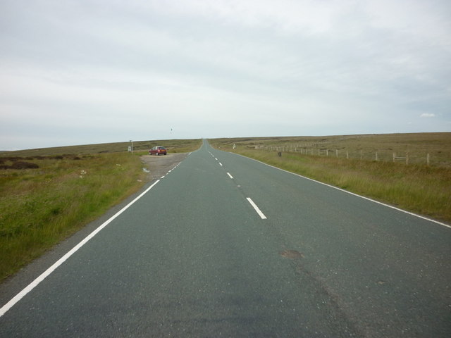
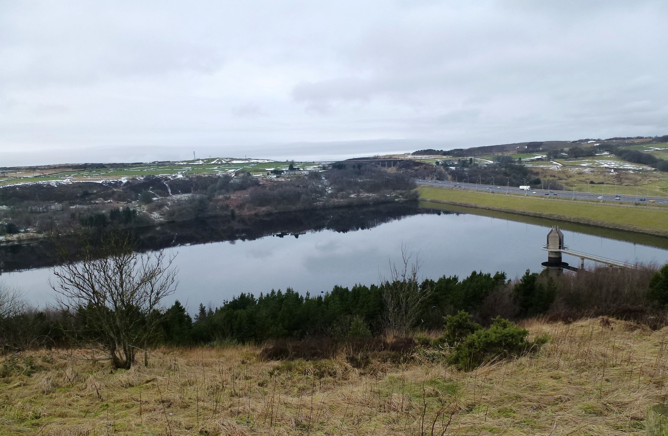
Cupwith Reservoir is a picturesque freshwater lake located in the county of Yorkshire, England. Nestled amidst lush green fields and rolling hills, this reservoir is a popular recreational spot for locals and tourists alike.
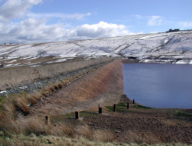
Covering an area of approximately 20 acres, Cupwith Reservoir is a man-made lake that was created in the mid-19th century to provide water supply for the surrounding areas. It is fed by various natural springs and small streams that flow into the reservoir, ensuring a constant supply of freshwater.
Surrounded by dense vegetation and trees, Cupwith Reservoir is a haven for a variety of wildlife. The crystal-clear waters of the lake provide a habitat for numerous fish species, such as trout and perch, making it a popular spot for anglers. Birdwatchers can also spot a wide range of bird species, including ducks, swans, and herons, which frequent the lake.
The reservoir is a tranquil and serene location, offering a peaceful escape from the hustle and bustle of everyday life. Visitors can enjoy a leisurely walk along the well-maintained footpaths that encircle the lake, providing stunning views of the surrounding countryside. Picnic areas are available, allowing visitors to relax and enjoy the natural beauty of the area.
Cupwith Reservoir is easily accessible, with ample parking facilities nearby. It is a popular destination for outdoor enthusiasts, providing opportunities for fishing, birdwatching, and simply enjoying the tranquility of nature. Whether for a day trip or a weekend getaway, Cupwith Reservoir offers a refreshing and picturesque retreat in the heart of Yorkshire.
If you have any feedback on the listing, please let us know in the comments section below.
Cupwith Reservoir Images
Images are sourced within 2km of 53.62337/-1.9434622 or Grid Reference SE0314. Thanks to Geograph Open Source API. All images are credited.


Cupwith Reservoir is located at Grid Ref: SE0314 (Lat: 53.62337, Lng: -1.9434622)
Division: West Riding
Unitary Authority: Kirklees
Police Authority: West Yorkshire
What 3 Words
///types.task.toads. Near Marsden, West Yorkshire
Nearby Locations
Related Wikis
Deanhead Reservoir
Deanhead Reservoir is a reservoir near Scammonden, in the metropolitan district of Kirklees, West Yorkshire, England. It is named after Dean Head, a village...

Stott Hall Farm
Stott Hall Farm is a farm located between the eastbound and westbound carriageways of the M62 motorway in Calderdale, England. It is the only farm in the...

Marsden railway station
Marsden railway station serves the village of Marsden near Huddersfield in West Yorkshire, England. The station is on the Huddersfield Line, operated by...
Scammonden Reservoir
Scammonden Reservoir is a water reservoir in West Yorkshire, England. Its water surface area when full is 42 hectares (0.16 sq mi). The level of the bellmouth...

Booth Wood Reservoir
Booth Wood Reservoir is a man-made upland reservoir that lies north of the M62 motorway and south of the A672 road near to Rishworth and Ripponden in Calderdale...
Marsden, West Yorkshire
Marsden is a large village in the Colne Valley, in the metropolitan borough of Kirklees, West Yorkshire, England. It is in the South Pennines close to...

Marsden Moor Estate
The Marsden Moor Estate is a large expanse of moorland in the South Pennines, between the conurbations of West Yorkshire and Greater Manchester in the...

Scammonden Bridge
Scammonden Bridge, also known locally as the Brown Cow Bridge (after the nearby Brown Cow Inn, now closed), spans the Deanhead cutting carrying the B6114...
Nearby Amenities
Located within 500m of 53.62337,-1.9434622Have you been to Cupwith Reservoir?
Leave your review of Cupwith Reservoir below (or comments, questions and feedback).