Sir Edward's Lake
Lake, Pool, Pond, Freshwater Marsh in Northumberland
England
Sir Edward's Lake

Sir Edward's Lake is a picturesque freshwater body located in the county of Northumberland, England. Nestled amidst the serene and verdant countryside, it offers a tranquil retreat for nature enthusiasts and visitors seeking a peaceful escape.
Spanning an area of approximately 20 acres, Sir Edward's Lake is classified as a lake due to its size and depth. It is surrounded by lush vegetation, including a variety of trees such as willows and alders, providing a scenic backdrop to the water's edge. The lake's crystal-clear waters are fed by several small streams and springs, ensuring a constant flow of fresh water.
The lake is home to a diverse range of aquatic plants and wildlife. Water lilies, reeds, and other submerged vegetation adorn the surface, creating a vibrant and ecologically rich environment. These plants provide habitat and food for various species of fish, frogs, and water insects, making it a haven for birdlife as well. Visitors can often spot a variety of waterfowl, including ducks, swans, and herons, gracefully gliding across the lake or nesting along its banks.
Sir Edward's Lake also boasts a small pool and pond on its western side, which are connected to the main body of water. These smaller water features add to the overall charm and biodiversity of the area. Adjacent to the lake is a freshwater marsh, characterized by its marsh grasses and sedges, which provides additional habitat for wetland species.
In summary, Sir Edward's Lake in Northumberland is a beautiful and serene freshwater body, offering a diverse ecosystem and a peaceful sanctuary for both wildlife and visitors alike.
If you have any feedback on the listing, please let us know in the comments section below.
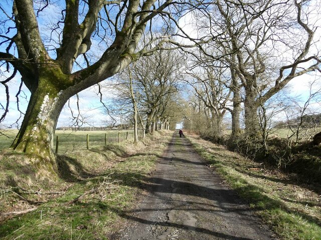
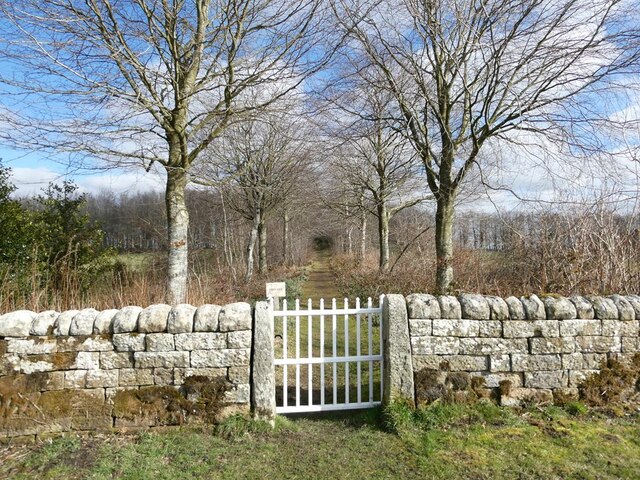
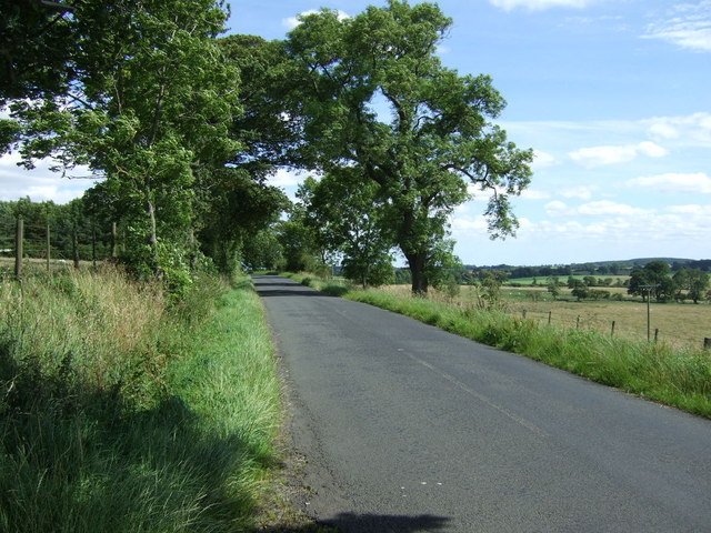
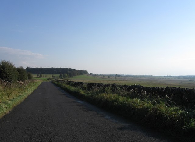
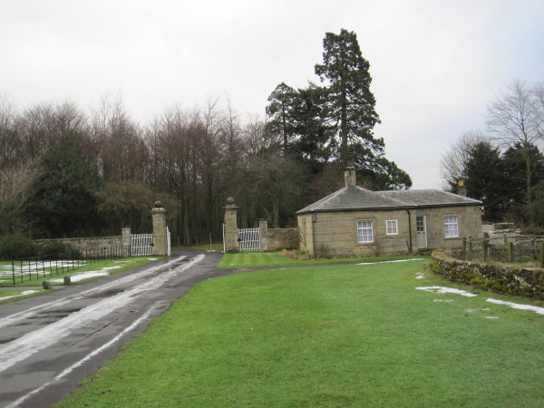
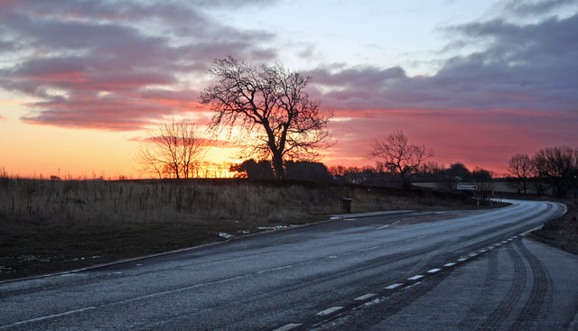
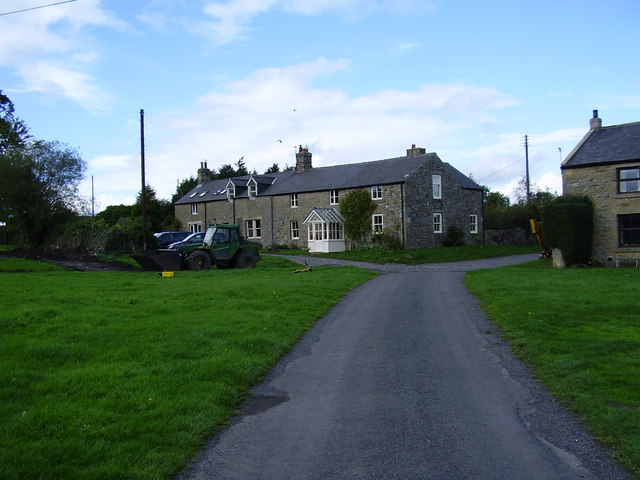
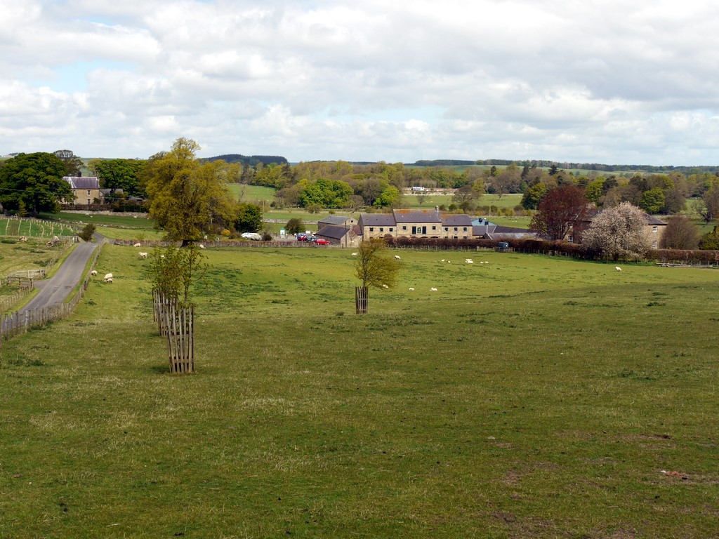
Sir Edward's Lake Images
Images are sourced within 2km of 55.113139/-1.9534899 or Grid Reference NZ0379. Thanks to Geograph Open Source API. All images are credited.


Sir Edward's Lake is located at Grid Ref: NZ0379 (Lat: 55.113139, Lng: -1.9534899)
Unitary Authority: Northumberland
Police Authority: Northumbria
What 3 Words
///definite.sharpens.baseballs. Near Rothley, Northumberland
Nearby Locations
Related Wikis

Capheaton
Capheaton is a village and civil parish in Northumberland, England, about 25 miles (40 km) to the northwest of Newcastle upon Tyne. The population at the...
Capheaton Hall
Capheaton Hall, near Wallington, Northumberland, is an English country house, the seat of the Swinburne Baronets and a childhood home of the poet Algernon...
A696 road
The A696 is a major road in Northern England, that runs from Otterburn in Northumberland to Newcastle upon Tyne. == Route == The A696 begins at a junction...
Kirkheaton, Northumberland
Kirkheaton (English: ) is a village and former civil parish, now in the parish of Capheaton, in the county of Northumberland, England. The village lies...

Kirkharle Hall
Kirkharle Hall was a country house at Kirkharle, Northumberland, England, the former seat of the Loraine family, now much reduced and in use as a farmhouse...
Kirkharle
Kirkharle (otherwise Kirk Harle) is a village and former civil parish, now in the parish of Kirkwhelpington, in the county of Northumberland in Northern...

Shaftoe Crags Settlement
Shaftoe Crags Settlement is an archaeological site in Northumberland, England, about 8 miles (13 km) west of Morpeth. The site at Shaftoe Crags, with remains...
Bavington
Bavington is a civil parish in Northumberland, England. The parish includes the villages of Great Bavington, Little Bavington and Thockrington. According...
Have you been to Sir Edward's Lake?
Leave your review of Sir Edward's Lake below (or comments, questions and feedback).