Park Strip
Wood, Forest in Northumberland
England
Park Strip

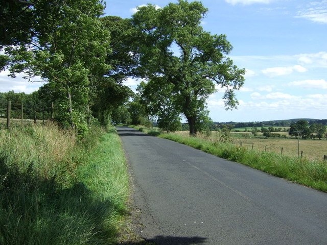
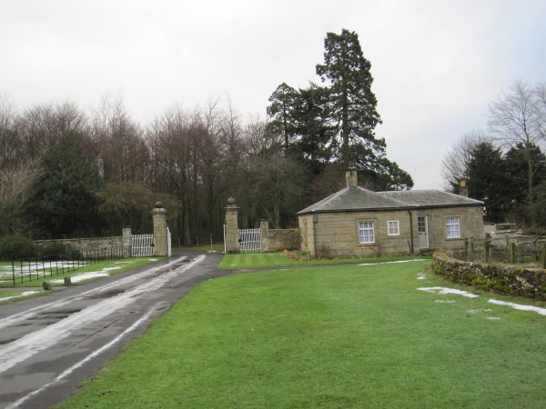
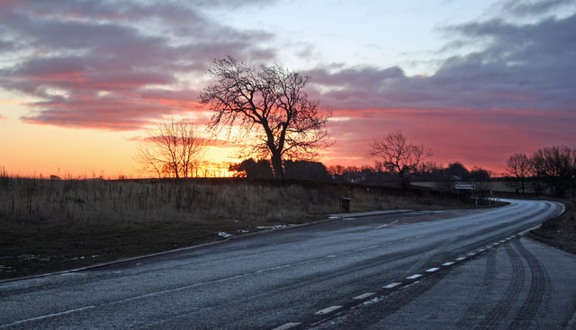
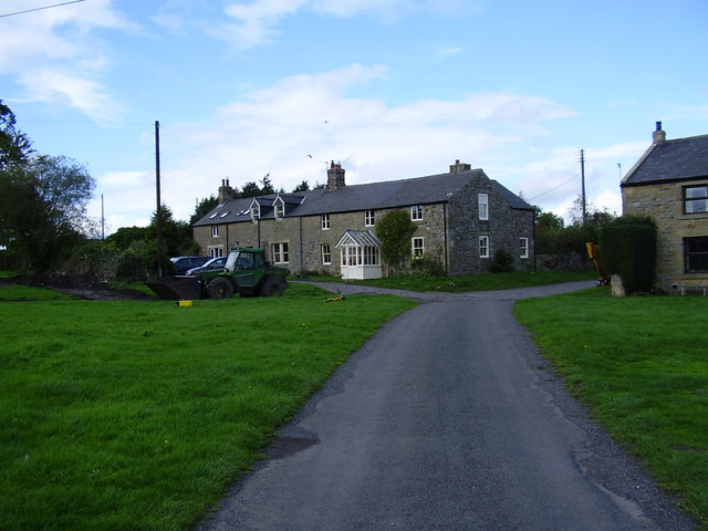
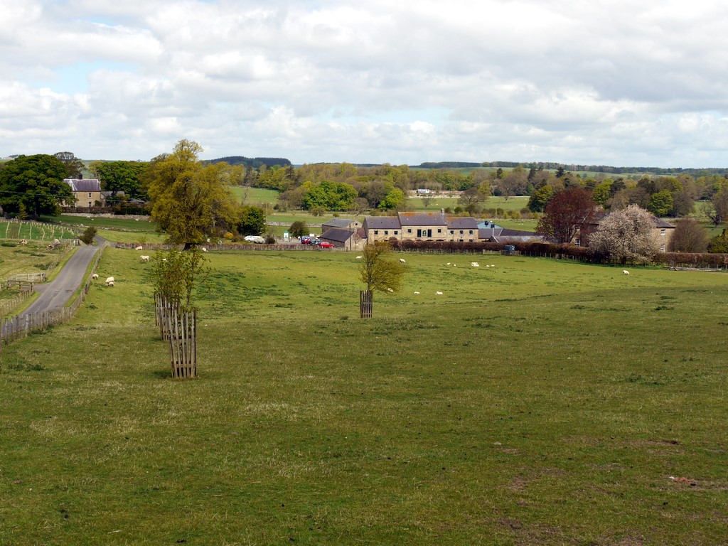
Park Strip is a picturesque woodland area located in Northumberland, a county in the northeast of England. Nestled within the vast Northumberland National Park, this serene forested region offers visitors a delightful natural escape. The Wood is situated near the quaint village of Bellingham, which is known for its rich history and stunning landscapes.
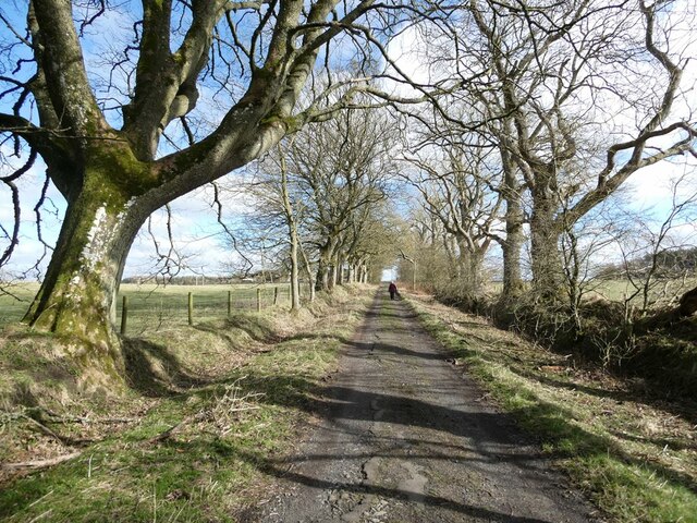
Covering approximately 200 hectares, Park Strip is home to a diverse range of trees, including oak, birch, and pine. The forest floor is adorned with an array of wildflowers, creating a vibrant and colorful carpet during the spring and summer months. The area is also teeming with wildlife, with sightings of deer, squirrels, and various bird species being common.
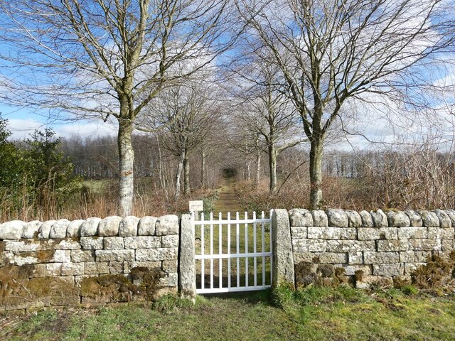
Traversing through Park Strip is a network of well-maintained walking trails, allowing visitors to explore the woodland at their own pace. These paths wind through the forest, providing opportunities for scenic strolls and peaceful contemplation. Along the way, visitors can discover hidden clearings, babbling brooks, and ancient stone walls that hint at the area's historical significance.
For those seeking a more immersive experience, Park Strip offers camping facilities, allowing visitors to spend the night under the canopy of trees. The tranquil ambiance of the woodland, combined with the absence of light pollution, makes it an ideal spot for stargazing enthusiasts.
Whether it's a leisurely walk, a nature-spotting adventure, or a night under the stars, Park Strip in Northumberland offers a serene and rejuvenating escape for all nature lovers.
If you have any feedback on the listing, please let us know in the comments section below.
Park Strip Images
Images are sourced within 2km of 55.11245/-1.941091 or Grid Reference NZ0379. Thanks to Geograph Open Source API. All images are credited.


Park Strip is located at Grid Ref: NZ0379 (Lat: 55.11245, Lng: -1.941091)
Unitary Authority: Northumberland
Police Authority: Northumbria
What 3 Words
///seeing.responses.deform. Near Rothley, Northumberland
Nearby Locations
Related Wikis

Capheaton
Capheaton is a village and civil parish in Northumberland, England, about 25 miles (40 km) to the northwest of Newcastle upon Tyne. The population at the...
Capheaton Hall
Capheaton Hall, near Wallington, Northumberland, is an English country house, the seat of the Swinburne Baronets and a childhood home of the poet Algernon...
A696 road
The A696 is a major road in Northern England, that runs from Otterburn in Northumberland to Newcastle upon Tyne. == Route == The A696 begins at a junction...

Shaftoe Crags Settlement
Shaftoe Crags Settlement is an archaeological site in Northumberland, England, about 8 miles (13 km) west of Morpeth. The site at Shaftoe Crags, with remains...
Kirkheaton, Northumberland
Kirkheaton (English: ) is a village and former civil parish, now in the parish of Capheaton, in the county of Northumberland, England. The village lies...

The Poind and his Man
The Poind and his Man is a prehistoric site in Northumberland, England, near the village of Bolam and about 7 miles (11 km) west of Morpeth. The site,...
Kirkharle
Kirkharle (otherwise Kirk Harle) is a village and former civil parish, now in the parish of Kirkwhelpington, in the county of Northumberland in Northern...

Kirkharle Hall
Kirkharle Hall was a country house at Kirkharle, Northumberland, England, the former seat of the Loraine family, now much reduced and in use as a farmhouse...
Have you been to Park Strip?
Leave your review of Park Strip below (or comments, questions and feedback).