Hayes Pool
Lake, Pool, Pond, Freshwater Marsh in Staffordshire Staffordshire Moorlands
England
Hayes Pool
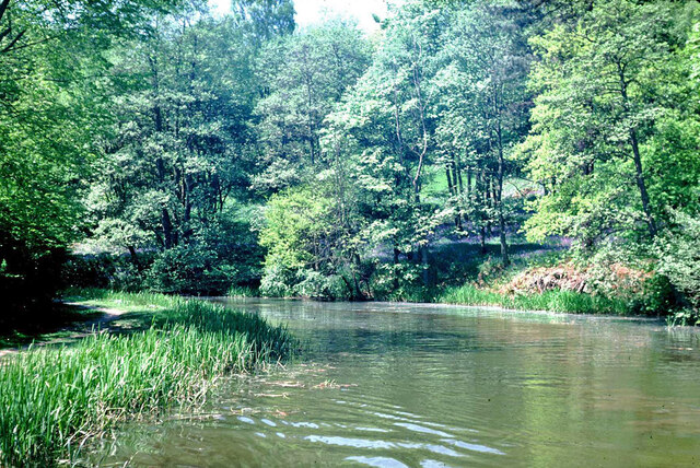
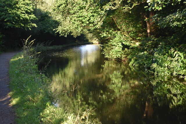
Hayes Pool, located in Staffordshire, England, is a picturesque freshwater marsh that offers a tranquil and scenic environment for visitors. The pool is situated within the Hayes Country Park, covering an area of approximately 10 hectares. It is a popular destination for nature enthusiasts, hikers, and birdwatchers alike.
The pool itself is a small body of water, surrounded by lush vegetation and reed beds. It is fed by natural springs and rainfall, ensuring a constant flow of fresh water. The depth of the pool varies, with some areas being quite shallow, making it an ideal habitat for a diverse range of aquatic plants and wildlife.
The marshy surroundings of Hayes Pool are home to a plethora of bird species, making it a paradise for birdwatchers. Visitors can observe a variety of waterfowl, including swans, ducks, and geese, gracefully gliding across the water. The reed beds provide a safe haven for many species of warblers and reed buntings, which can often be heard singing their melodious songs.
The pool is also home to a rich variety of insects and amphibians. Dragonflies and damselflies flit around the water's edge, while frogs and newts can be spotted basking in the sun or swimming in the shallows. The diverse ecosystem of Hayes Pool supports a delicate balance of plant and animal life, creating a haven for biodiversity.
For those seeking a peaceful retreat in nature, Hayes Pool offers beautiful scenery, abundant wildlife, and the opportunity to connect with the natural world. Whether strolling along the water's edge or simply sitting and observing the serenity, visitors to Hayes Pool are sure to be captivated by its beauty and tranquility.
If you have any feedback on the listing, please let us know in the comments section below.
Hayes Pool Images
Images are sourced within 2km of 53.072184/-2.0618544 or Grid Reference SJ9552. Thanks to Geograph Open Source API. All images are credited.


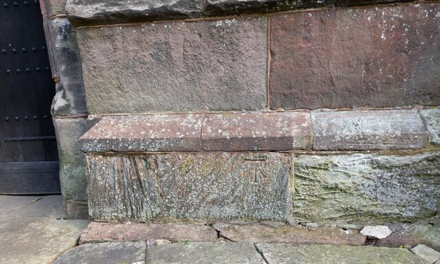
![Cheddleton, old school There is a benchmark cut into the south-east face of the old school [now a tearoom]. It is to the left of the building.](https://s3.geograph.org.uk/geophotos/07/00/51/7005111_d5b79137.jpg)


Hayes Pool is located at Grid Ref: SJ9552 (Lat: 53.072184, Lng: -2.0618544)
Administrative County: Staffordshire
District: Staffordshire Moorlands
Police Authority: Staffordshire
What 3 Words
///jumps.chum.scorching. Near Cheddleton, Staffordshire
Nearby Locations
Related Wikis

Deep Hayes Country Park
Deep Hayes Country Park is a country park in Staffordshire, England. It is about 3 miles (4.8 km) south-west of Leek, a short distance south of the A53...
Wall Grange railway station
Wall Grange railway station is a disused railway station in Staffordshire, England. == History == The Stoke–Leek line was opened by the North Staffordshire...

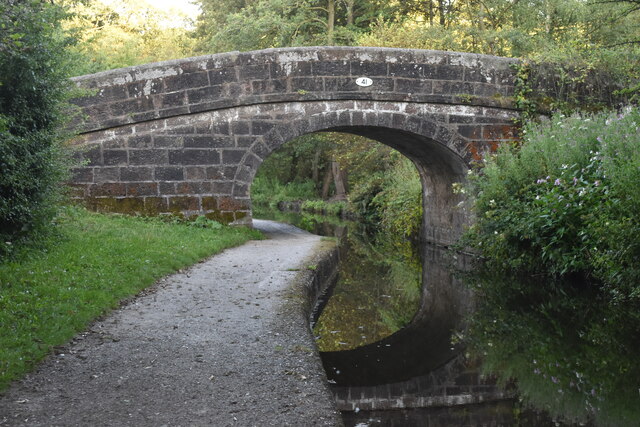
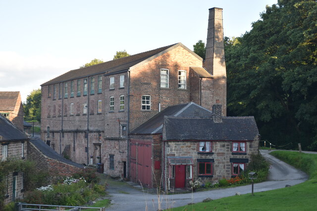
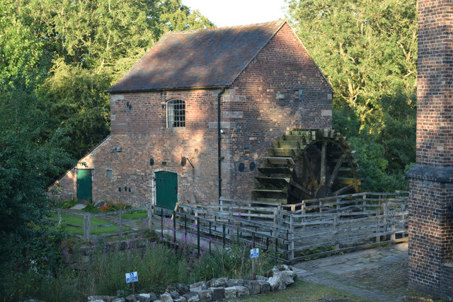
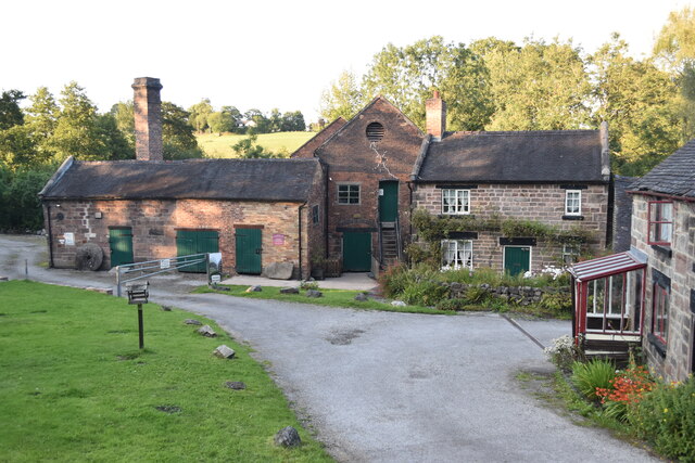
Cheddleton Flint Mill
Cheddleton Flint Mill is a water mill situated in the village of Cheddleton in the English county of Staffordshire. The mill race takes water from the...

Cheddleton
Cheddleton is an ancient parish and village in the Staffordshire Moorlands, near to the town of Leek, England. == History == The village is divided into...

St Edwards Hospital tramway
The St Edward's Hospital tramway was a tramway built for Staffordshire County Council for the construction of the St Edward's County Mental Asylum at Cheddleton...

St Edward's Hospital
St Edward's Hospital was a mental health facility at Cheddleton in Staffordshire, England. The hospital closed in 2002 and was converted into apartments...

Longsdon
Longsdon is a village and civil parish in the Staffordshire Moorlands district of Staffordshire, England, about 1.5 miles (2.4 km) southwest of Leek, on...

Ashcombe Park, Staffordshire
Ashcombe Park is a country house and estate near Cheddleton, in Staffordshire, England. The house is a Grade II* listed building, listed on 2 May 1953...
Nearby Amenities
Located within 500m of 53.072184,-2.0618544Have you been to Hayes Pool?
Leave your review of Hayes Pool below (or comments, questions and feedback).