Crownpoint Wood
Wood, Forest in Staffordshire Staffordshire Moorlands
England
Crownpoint Wood
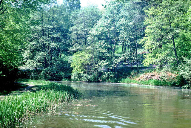
Crownpoint Wood is a picturesque woodland area located in Staffordshire, England. Situated in the heart of the Cannock Chase, Crownpoint Wood covers an expansive area of approximately 500 acres, making it one of the largest woodlands in the region.
The woodland is predominantly made up of diverse species of deciduous and evergreen trees, including oak, beech, birch, and pine, creating a rich and vibrant ecosystem. The dense canopy provides ample shade and shelter for a variety of wildlife, making Crownpoint Wood a haven for nature enthusiasts and birdwatchers.
The woodland is crisscrossed by a network of well-maintained footpaths and trails, allowing visitors to explore the area and appreciate its natural beauty. These paths vary in difficulty, catering to both casual strollers and avid hikers. The wood also features several designated picnic areas, providing a perfect spot for visitors to relax and enjoy a meal amidst the tranquil surroundings.
Crownpoint Wood is not only a natural treasure but also a site of historical significance. It was once used as a hunting ground for the royal family, and remnants of this rich history can still be seen today. The wood is home to several ancient monuments and archaeological sites, including burial mounds and old boundary markers, adding an extra layer of intrigue and fascination to the area.
Overall, Crownpoint Wood offers a delightful escape from the hustle and bustle of everyday life. With its stunning landscapes, diverse wildlife, and historical significance, it is a must-visit destination for nature lovers and history enthusiasts alike.
If you have any feedback on the listing, please let us know in the comments section below.
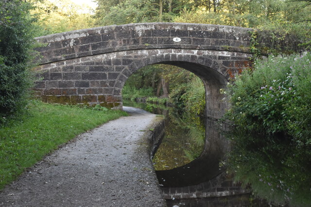
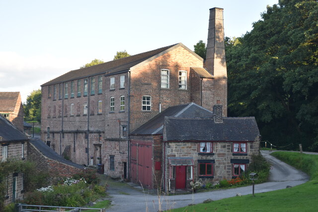
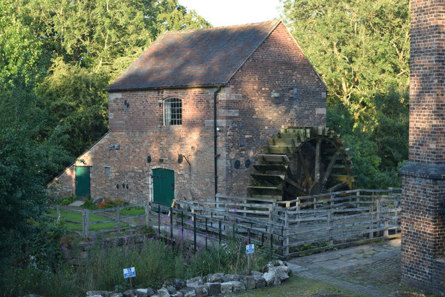
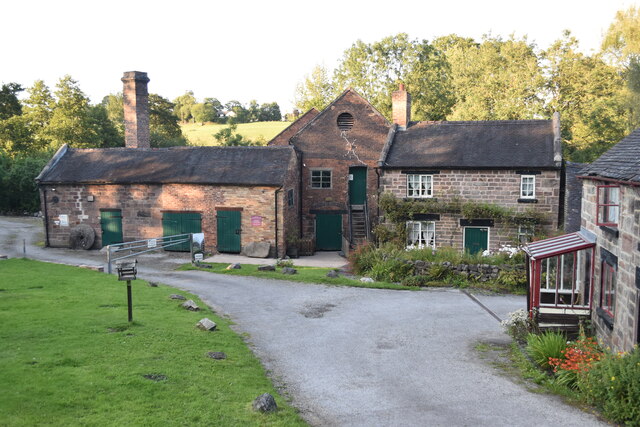
Crownpoint Wood Images
Images are sourced within 2km of 53.07008/-2.0631498 or Grid Reference SJ9552. Thanks to Geograph Open Source API. All images are credited.


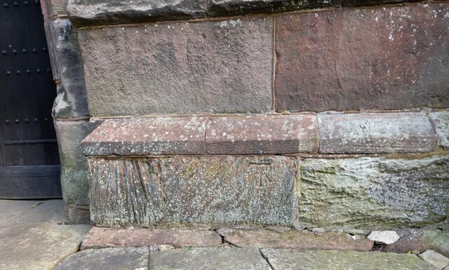
![Cheddleton, old school There is a benchmark cut into the south-east face of the old school [now a tearoom]. It is to the left of the building.](https://s3.geograph.org.uk/geophotos/07/00/51/7005111_d5b79137.jpg)


Crownpoint Wood is located at Grid Ref: SJ9552 (Lat: 53.07008, Lng: -2.0631498)
Administrative County: Staffordshire
District: Staffordshire Moorlands
Police Authority: Staffordshire
What 3 Words
///tins.crumples.lighters. Near Cheddleton, Staffordshire
Nearby Locations
Related Wikis

Deep Hayes Country Park
Deep Hayes Country Park is a country park in Staffordshire, England. It is about 3 miles (4.8 km) south-west of Leek, a short distance south of the A53...
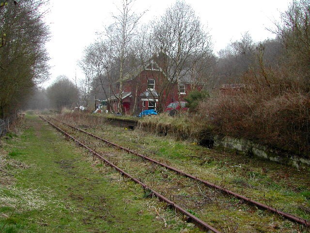
Wall Grange railway station
Wall Grange railway station is a disused railway station in Staffordshire, England. == History == The Stoke–Leek line was opened by the North Staffordshire...

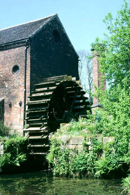
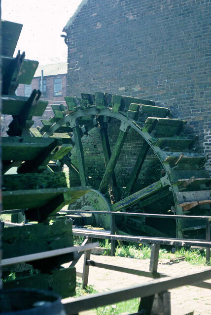
Cheddleton Flint Mill
Cheddleton Flint Mill is a water mill situated in the village of Cheddleton in the English county of Staffordshire. The mill race takes water from the...

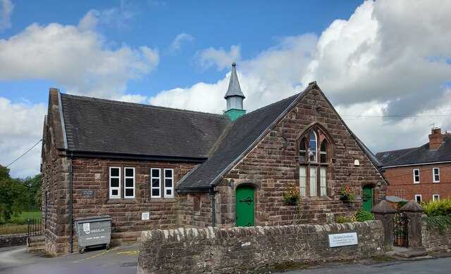
Cheddleton
Cheddleton is an ancient parish and village in the Staffordshire Moorlands, near to the town of Leek, England. == History == The village is divided into...

St Edwards Hospital tramway
The St Edward's Hospital tramway was a tramway built for Staffordshire County Council for the construction of the St Edward's County Mental Asylum at Cheddleton...

St Edward's Hospital
St Edward's Hospital was a mental health facility at Cheddleton in Staffordshire, England. The hospital closed in 2002 and was converted into apartments...

Ashcombe Park, Staffordshire
Ashcombe Park is a country house and estate near Cheddleton, in Staffordshire, England. The house is a Grade II* listed building, listed on 2 May 1953...

Longsdon
Longsdon is a village and civil parish in the Staffordshire Moorlands district of Staffordshire, England, about 1.5 miles (2.4 km) southwest of Leek, on...
Nearby Amenities
Located within 500m of 53.07008,-2.0631498Have you been to Crownpoint Wood?
Leave your review of Crownpoint Wood below (or comments, questions and feedback).