Lower Pool
Lake, Pool, Pond, Freshwater Marsh in Staffordshire South Staffordshire
England
Lower Pool
Lower Pool is a freshwater marsh located in Staffordshire, England. It is a significant body of water in the region, covering an area of approximately 7 hectares. The pool is situated within a larger area of wetland, providing a haven for various species of flora and fauna.
The water in Lower Pool is sourced from both surface runoff and groundwater, contributing to its consistently high water levels throughout the year. The pool is characterized by its calm, still water, creating a peaceful and serene environment. It is surrounded by a diverse range of vegetation, including reed beds, rushes, and water lilies, which provide shelter and food for many aquatic creatures.
The pool itself supports a rich biodiversity. It is home to a variety of fish species, such as pike, perch, and roach, which thrive in the nutrient-rich waters. Additionally, numerous bird species can be observed at Lower Pool, including waterfowl like mallards, coots, and moorhens. For birdwatchers, it is a popular spot to observe migratory birds during the winter months.
Lower Pool plays a crucial role in the local ecosystem as a breeding ground for amphibians, such as frogs and newts. It also supports a diverse range of invertebrates, including dragonflies and damselflies, which rely on the pool for their life cycle. The wetland surrounding the pool provides an important habitat for many other wildlife species, including mammals like voles and bats.
Overall, Lower Pool is a vital natural feature in Staffordshire, providing a valuable habitat for a wide range of wildlife. Its tranquil atmosphere and diverse flora and fauna make it a popular destination for nature enthusiasts and visitors seeking to connect with the natural world.
If you have any feedback on the listing, please let us know in the comments section below.
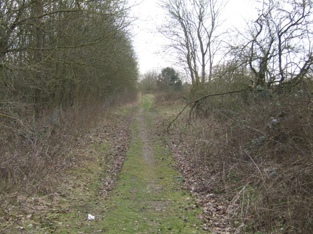
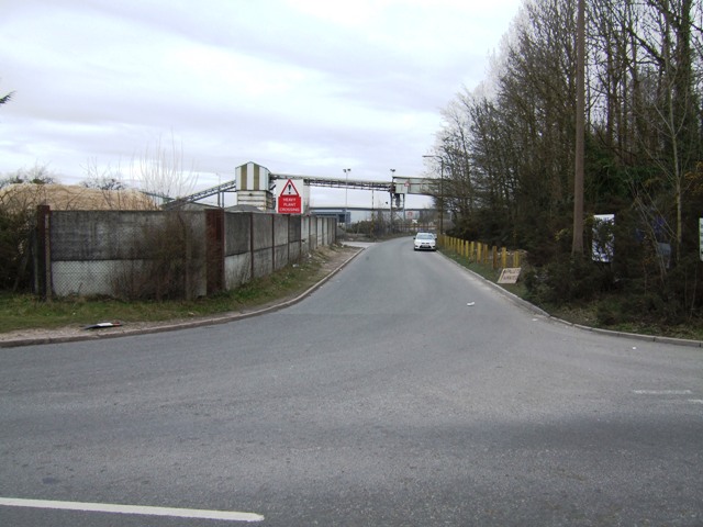
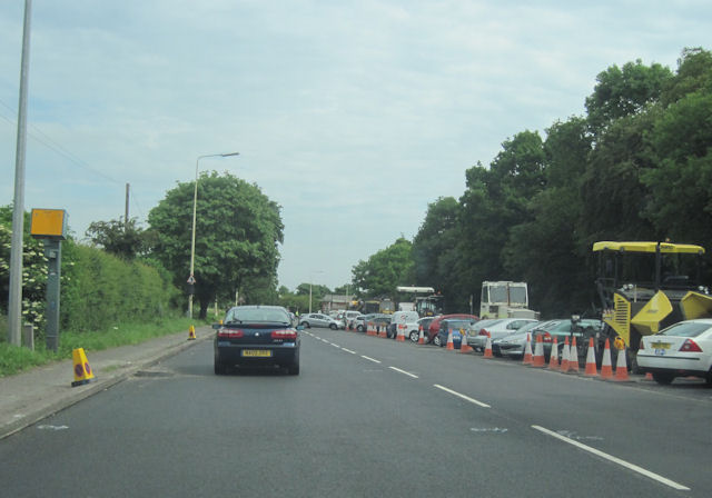
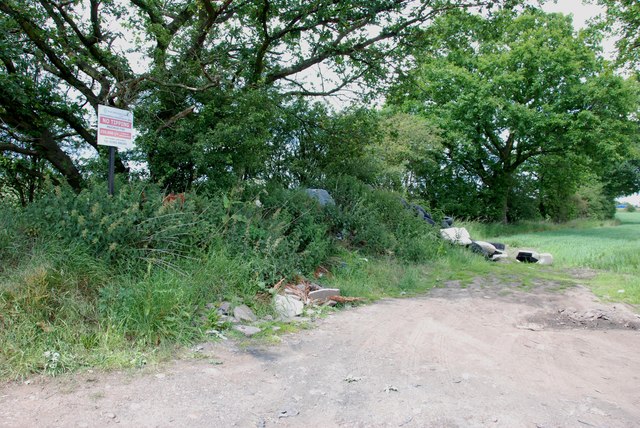
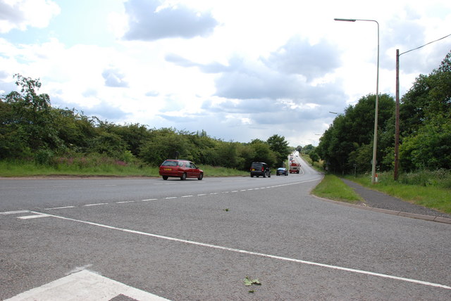
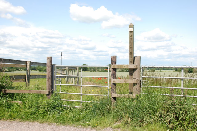
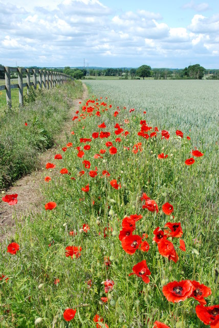
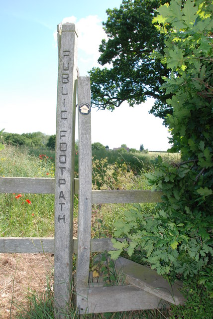
Lower Pool Images
Images are sourced within 2km of 52.646096/-2.077625 or Grid Reference SJ9405. Thanks to Geograph Open Source API. All images are credited.


Lower Pool is located at Grid Ref: SJ9405 (Lat: 52.646096, Lng: -2.077625)
Administrative County: Staffordshire
District: South Staffordshire
Police Authority: Staffordshire
What 3 Words
///export.punctured.hologram. Near Featherstone, Staffordshire
Nearby Locations
Related Wikis
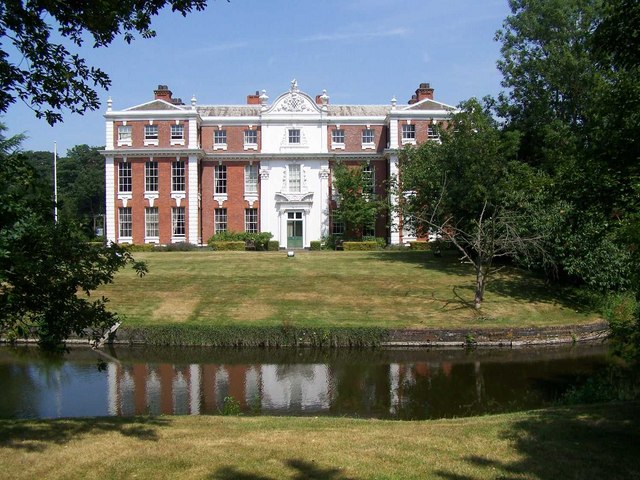
Hilton Hall
Hilton Hall is an 18th-century mansion house now in use as an Office and Business Centre at Hilton, near Wolverhampton, in Staffordshire. It is a Grade...

Featherstone, Staffordshire
Featherstone is a town in the district of South Staffordshire, England, near to the border with Wolverhampton. == History == Originally a farming community...

Shareshill
Shareshill is a village and civil parish in the South Staffordshire district, in the county of Staffordshire, England. The population as measured in the...

Hilton Park services
Hilton Park services is a motorway service station, between junctions 10a and 11 of the M6 motorway in Staffordshire, England. The nearest city is Wolverhampton...

Brinsford Lodge
Brinsford Lodge was a hall of residence for The Polytechnic, Wolverhampton (now the University of Wolverhampton) from the mid-1960s to the early 1980s...
Essington Hall Farmhouse
Essington Hall Farmhouse is a grade II listed building in Essington, Staffordshire. == See also == Listed buildings in Essington == References ==

Moseley Old Hall
Moseley Old Hall is located in Fordhouses, north of Wolverhampton in the United Kingdom. It is notable as one of the hiding places of Charles II during...
HM Prison Brinsford
HMP & YOI Prison Brinsford is an adult male Category B & C prison and Young Offenders Institution (YOI), located in the village of Featherstone (near Wolverhampton...
Nearby Amenities
Located within 500m of 52.646096,-2.077625Have you been to Lower Pool?
Leave your review of Lower Pool below (or comments, questions and feedback).