Jol Pool

Lake, Pool, Pond, Freshwater Marsh in Staffordshire Stafford

England

Jol Pool

Farmland and railway bridge near Aston-by-Stone This is the view looking north-north-east from the Trent and Mersey Canal east of Aston-by-Stone.
The bridge carries the West Coast Main Line (Trent Valley) over the A51 between Stoke-on-Trent and Rugeley.
A mobile phone transmitting mast is a more recent addition.
Farmland and railway bridge near Aston-by-Stone Credit: Roger Kidd

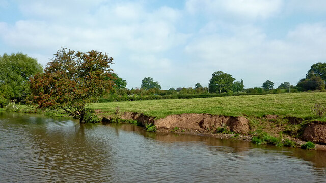
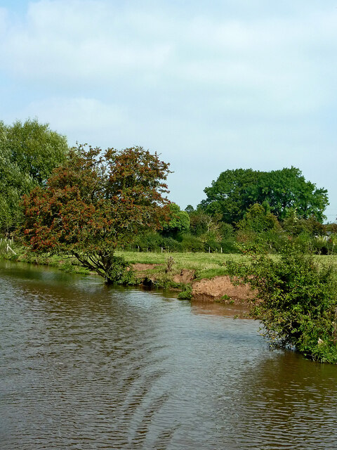
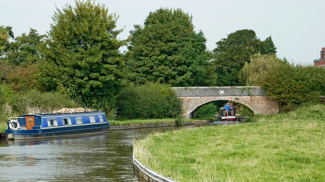
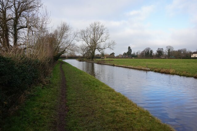
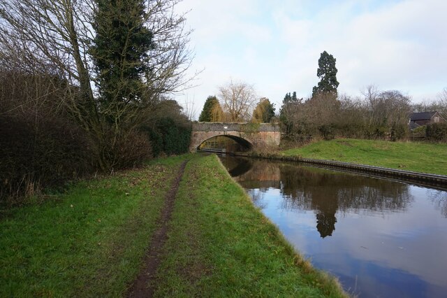
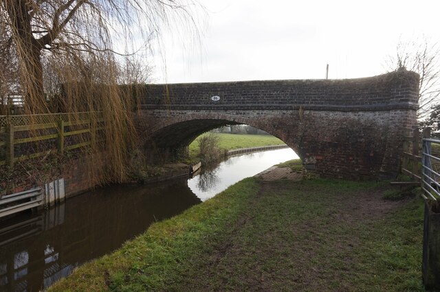
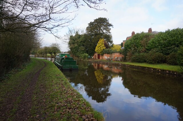
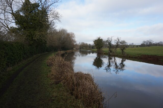
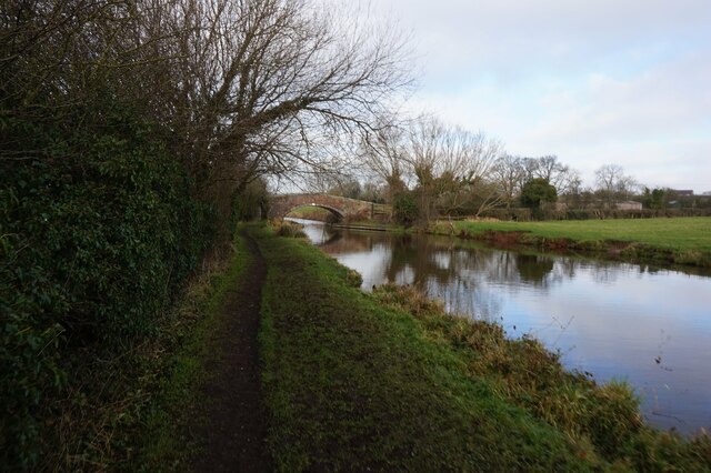
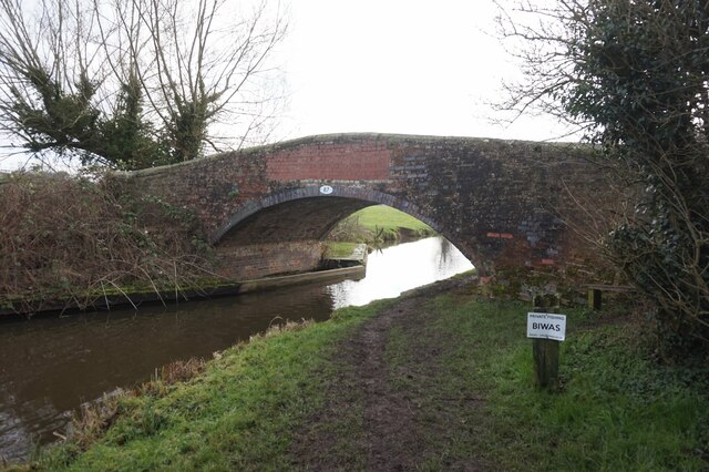
Jol Pool is a serene freshwater lake located in Staffordshire, England. Nestled amidst picturesque surroundings, this natural wonder is a popular destination for locals and tourists alike. With its tranquil waters and breathtaking landscape, Jol Pool offers a peaceful retreat from the hustle and bustle of everyday life.

Spanning across several acres, the lake is surrounded by lush greenery, creating a haven for a diverse range of flora and fauna. The crystal-clear water of Jol Pool is teeming with various species of fish, making it a haven for anglers and fishing enthusiasts. The calm and serene atmosphere of the lake also provides an ideal setting for birdwatching, attracting numerous migratory birds throughout the year.

In addition to its natural beauty, Jol Pool also features a well-maintained walking trail that allows visitors to explore the area on foot. The path winds its way around the lake, offering stunning views of the surrounding landscape and opportunities for peaceful contemplation. The trail is also suitable for cycling, providing a chance for outdoor enthusiasts to enjoy the beauty of the lake at their own pace.

Jol Pool is a popular spot for picnics and family outings, with designated picnic areas and benches scattered along the shore. Visitors can relax and take in the serenity of the lake while enjoying a packed lunch or simply basking in the sunshine.

Overall, Jol Pool in Staffordshire is a hidden gem, offering a tranquil escape into nature's embrace. Its idyllic setting, diverse wildlife, and recreational activities make it a must-visit destination for those seeking a peaceful retreat in the heart of England.

If you have any feedback on the listing, please let us know in the comments section below.
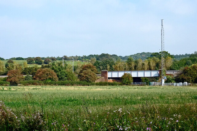
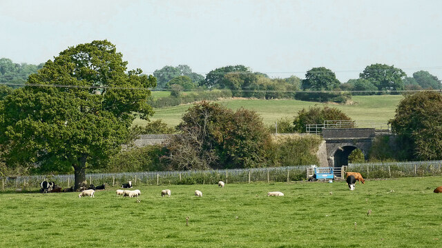
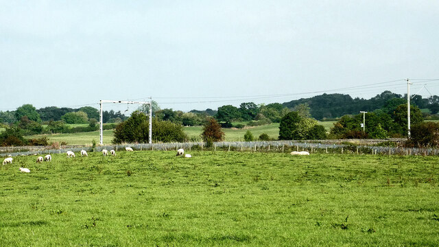
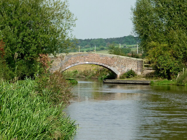
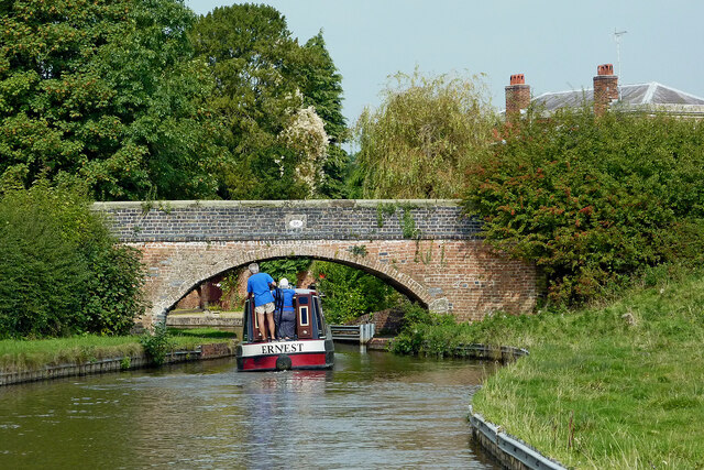
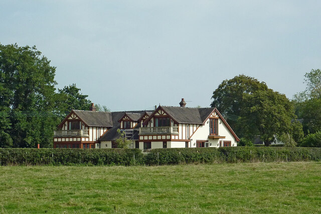
Jol Pool Images

Images are sourced within 2km of 52.879953/-2.0852649 or Grid Reference SJ9431. Thanks to Geograph Open Source API. All images are credited.

Farmland and railway bridge near Aston-by-Stone This is the view looking north-north-east from the Trent and Mersey Canal east of Aston-by-Stone.
The bridge carries the West Coast Main Line (Trent Valley) over the A51 between Stoke-on-Trent and Rugeley.
A mobile phone transmitting mast is a more recent addition.
Farmland and railway bridge near Aston-by-Stone
This is the view looking north-north-east from the Trent and Mersey Canal east of Aston-by-Stone. The bridge carries the West Coast Main Line (Trent Valley) over the A51 between Stoke-on-Trent and Rugeley. A mobile phone transmitting mast is a more recent addition.
Staffordshire farmland north-west of Burston Looking north-east from the Trent and Mersey Canal near Iron Bridge, No 88.
The bridge carries the West Coast Main Line (Trent Valley) over a farm track near Carr House.
Staffordshire farmland north-west of Burston
Looking north-east from the Trent and Mersey Canal near Iron Bridge, No 88. The bridge carries the West Coast Main Line (Trent Valley) over a farm track near Carr House.
Staffordshire farmland north-west of Burston Looking north from the Trent and Mersey Canal south of Carr House.
Staffordshire farmland north-west of Burston
Looking north from the Trent and Mersey Canal south of Carr House.
Canalside pasture near Burston in Staffordshire Looking north-west near Iron Bridge, No 88, on the Trent and Mersey Canal.
The edge of the canal is eroded by thirsty grazing cattle.
Canalside pasture near Burston in Staffordshire
Looking north-west near Iron Bridge, No 88, on the Trent and Mersey Canal. The edge of the canal is eroded by thirsty grazing cattle.
Long Meadow Bridge near Burston in Staffordshire This is the Trent and Mersey Canal, looking north-north-west towards Long Meadow Bridge, No 87. It is an accommodation bridge with no public right of way across it or into adjacent fields.
Long Meadow Bridge near Burston in Staffordshire
This is the Trent and Mersey Canal, looking north-north-west towards Long Meadow Bridge, No 87. It is an accommodation bridge with no public right of way across it or into adjacent fields.
Upper Burston Bridge near Burston in Staffordshire Upper Burston Bridge is No 86 across the Trent and Mersey Canal. It is an accommodation bridge which also carries a public footpath (and the Two Saints Way).
Upper Burston Bridge near Burston in Staffordshire
Upper Burston Bridge is No 86 across the Trent and Mersey Canal. It is an accommodation bridge which also carries a public footpath (and the Two Saints Way).
Large house near Burston in Staffordshire This impressive residence is located at the end of Burston Lane, and seen here by looking north-east from the Trent and Mersey Canal.
Large house near Burston in Staffordshire
This impressive residence is located at the end of Burston Lane, and seen here by looking north-east from the Trent and Mersey Canal.
Canal at Upper Burston Bridge near Burston in Staffordshire Upper Burston Bridge is No 86 across the Trent and Mersey Canal. It is an accommodation bridge which also carries a public footpath (and the Two Saints Way).
Canal at Upper Burston Bridge near Burston in Staffordshire
Upper Burston Bridge is No 86 across the Trent and Mersey Canal. It is an accommodation bridge which also carries a public footpath (and the Two Saints Way).
Trent & Mersey Canal towards Bridge #86
Trent & Mersey Canal towards at #86
Trent & Mersey Canal at Bridge #86
Trent & Mersey Canal towards Bridge #87
Trent & Mersey Canal at Bridge #87
Trent & Mersey Canal towards Bridge #88
Show me another place!

Jol Pool is located at Grid Ref: SJ9431 (Lat: 52.879953, Lng: -2.0852649)

Administrative County: Staffordshire

District: Stafford

Police Authority: Staffordshire

What 3 Words

///samples.argued.backward. Near Stone, Staffordshire

Nearby Locations

Jolpool Spinney Jol Pool

Related Wikis

Sandon, Staffordshire

Sandon is a village in the civil parish of Sandon and Burston, in the Stafford district, in the county of Staffordshire, England. It is about 4.5 miles...

Sandon railway station

Sandon railway station was a railway station opened by the North Staffordshire Railway to serve the village of Sandon, Staffordshire, England. For some...

Aston-by-Stone railway station

Aston-by-Stone railway station is a disused railway station in the village of Aston, Staffordshire, England. == History == Opened by the North Staffordshire...

Milwich

Milwich is a village and a civil parish in the English county of Staffordshire. == Location == The village is 7.8 miles (12.6 km) north east of the town...

Sandon Hall

Sandon Hall is a 19th-century country mansion, the seat of the Earl of Harrowby, at Sandon, Staffordshire, 5 miles (8.0 km) northeast of Stafford. It is...

Aston-By-Stone

Aston-By-Stone is a village and civil parish in the Borough of Stafford in Staffordshire, England. It is close to the town of Stone and city of Stoke-on...

Hilderstone

Hilderstone is a village and a civil parish in the English county of Staffordshire. == Location == The village is 8.6 miles (13.8 km) north of the town...

Yarlet School

Yarlet School, formerly Yarlet Hall, is a coeducational preparatory school located in the district of Yarlet, 3 miles (4.8 km) north of the county town...

Nearby Amenities

Located within 500m of 52.879953,-2.0852649
Ford: yes
Source: OSSV
Lat/Long: 52.8816275/-2.0817408
The data included in this document is from www.openstreetmap.org. The data is made available under ODbL.

Have you been to Jol Pool?

Leave your review of Jol Pool below (or comments, questions and feedback).