Jolpool Spinney

Wood, Forest in Staffordshire Stafford

England

Jolpool Spinney

Farmland and railway bridge near Aston-by-Stone This is the view looking north-north-east from the Trent and Mersey Canal east of Aston-by-Stone.
The bridge carries the West Coast Main Line (Trent Valley) over the A51 between Stoke-on-Trent and Rugeley.
A mobile phone transmitting mast is a more recent addition.
Farmland and railway bridge near Aston-by-Stone Credit: Roger Kidd

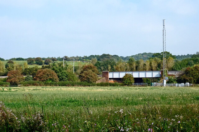
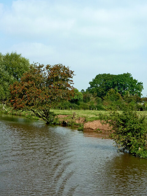
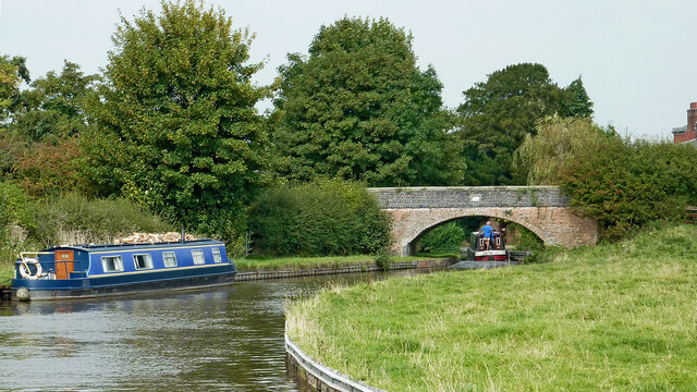
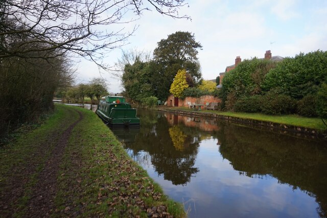
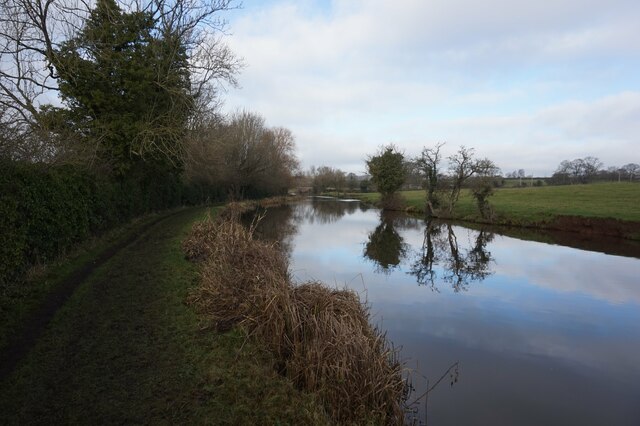
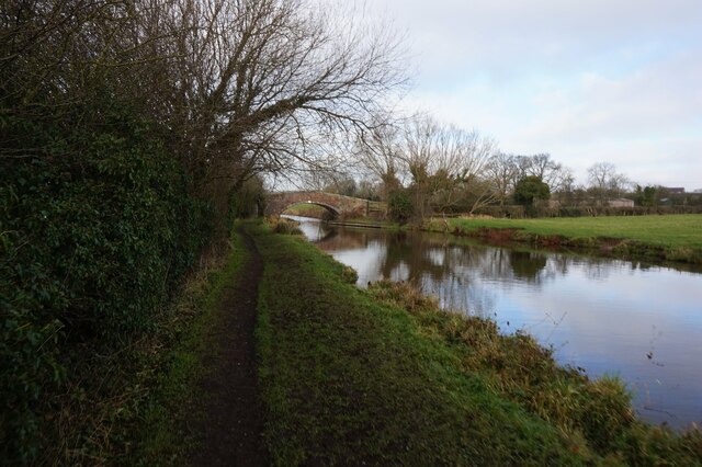
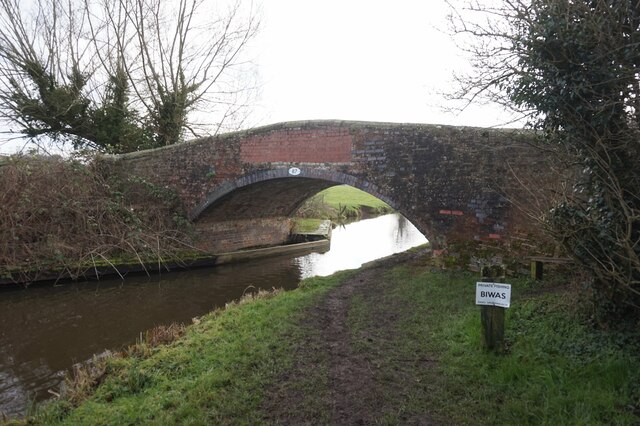
Jolpool Spinney is a picturesque woodland area located in Staffordshire, England. Covering an area of approximately 50 acres, it is a haven for nature lovers and outdoor enthusiasts alike. The spinney is situated near the small village of Jolpool, which adds to its charm and tranquility.

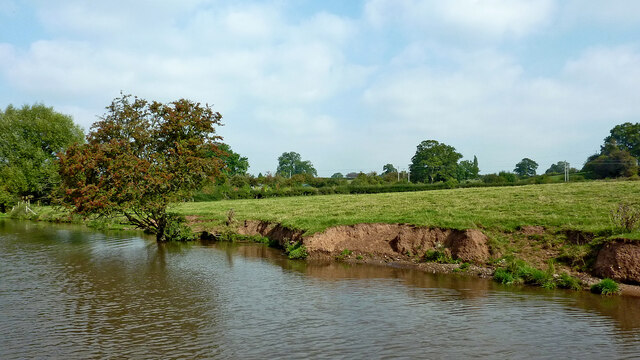
The woodland is predominantly made up of deciduous trees, including oak, beech, and birch, which provide a vibrant display of colors throughout the year. The forest floor is covered in a rich carpet of ferns and wildflowers, creating a beautiful and diverse ecosystem.

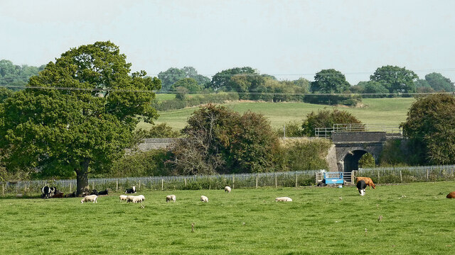
Jolpool Spinney is home to a variety of wildlife, making it an ideal spot for birdwatching and nature photography. Visitors can expect to spot species such as woodpeckers, owls, and various songbirds. The woodland also provides a habitat for small mammals like squirrels, rabbits, and foxes.

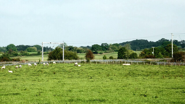
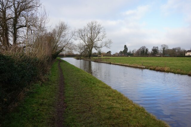
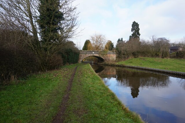
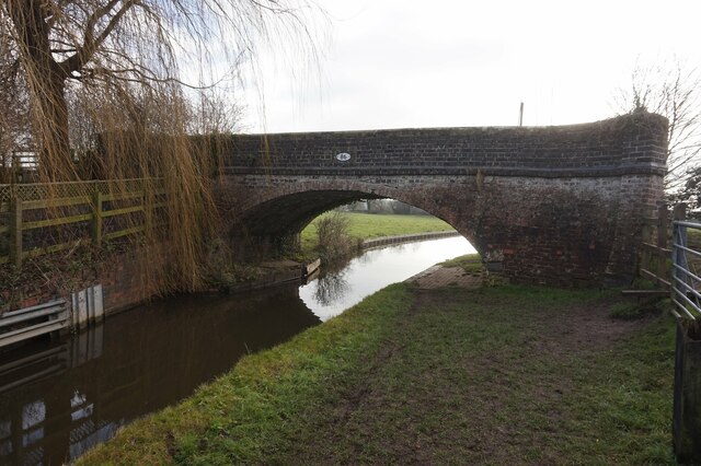
There are several walking trails that wind through the spinney, allowing visitors to explore its natural beauty at their own pace. These paths are well-maintained and suitable for all ages and abilities. Along the way, benches and picnic spots are strategically placed, offering visitors the opportunity to rest and enjoy the peaceful surroundings.

The spinney is open to the public year-round, and there is no entrance fee. However, visitors are encouraged to respect the natural environment and follow any posted guidelines, such as keeping dogs on a leash and taking their litter with them.

Overall, Jolpool Spinney is a hidden gem in Staffordshire, offering a serene escape from the hustle and bustle of everyday life. Whether you are seeking a peaceful walk, a chance to connect with nature, or simply a place to relax, this woodland is sure to delight.

If you have any feedback on the listing, please let us know in the comments section below.

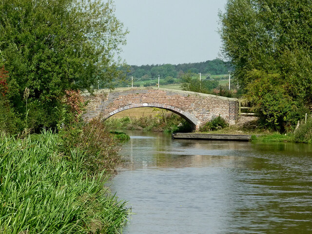
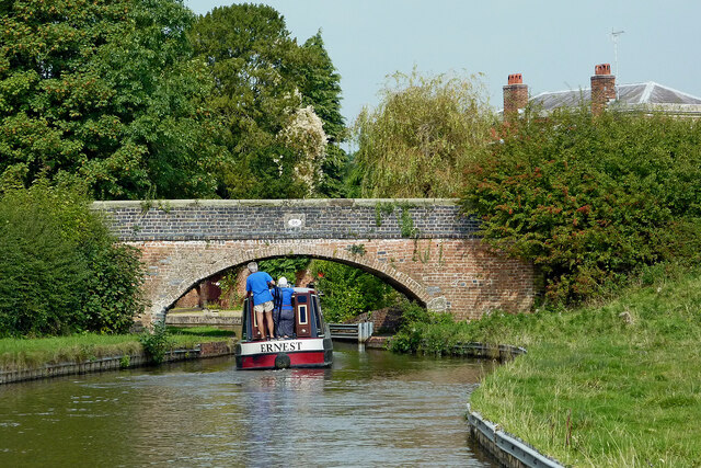
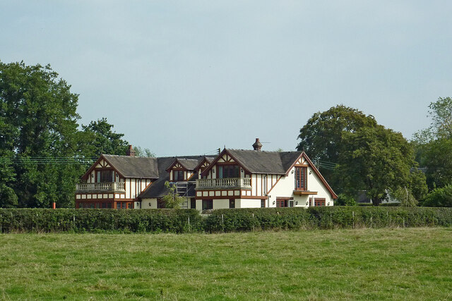
Jolpool Spinney Images

Images are sourced within 2km of 52.882874/-2.0855233 or Grid Reference SJ9431. Thanks to Geograph Open Source API. All images are credited.

Farmland and railway bridge near Aston-by-Stone This is the view looking north-north-east from the Trent and Mersey Canal east of Aston-by-Stone.
The bridge carries the West Coast Main Line (Trent Valley) over the A51 between Stoke-on-Trent and Rugeley.
A mobile phone transmitting mast is a more recent addition.
Farmland and railway bridge near Aston-by-Stone
This is the view looking north-north-east from the Trent and Mersey Canal east of Aston-by-Stone. The bridge carries the West Coast Main Line (Trent Valley) over the A51 between Stoke-on-Trent and Rugeley. A mobile phone transmitting mast is a more recent addition.
Staffordshire farmland north-west of Burston Looking north-east from the Trent and Mersey Canal near Iron Bridge, No 88.
The bridge carries the West Coast Main Line (Trent Valley) over a farm track near Carr House.
Staffordshire farmland north-west of Burston
Looking north-east from the Trent and Mersey Canal near Iron Bridge, No 88. The bridge carries the West Coast Main Line (Trent Valley) over a farm track near Carr House.
Staffordshire farmland north-west of Burston Looking north from the Trent and Mersey Canal south of Carr House.
Staffordshire farmland north-west of Burston
Looking north from the Trent and Mersey Canal south of Carr House.
Canalside pasture near Burston in Staffordshire Looking north-west near Iron Bridge, No 88, on the Trent and Mersey Canal.
The edge of the canal is eroded by thirsty grazing cattle.
Canalside pasture near Burston in Staffordshire
Looking north-west near Iron Bridge, No 88, on the Trent and Mersey Canal. The edge of the canal is eroded by thirsty grazing cattle.
Long Meadow Bridge near Burston in Staffordshire This is the Trent and Mersey Canal, looking north-north-west towards Long Meadow Bridge, No 87. It is an accommodation bridge with no public right of way across it or into adjacent fields.
Long Meadow Bridge near Burston in Staffordshire
This is the Trent and Mersey Canal, looking north-north-west towards Long Meadow Bridge, No 87. It is an accommodation bridge with no public right of way across it or into adjacent fields.
Upper Burston Bridge near Burston in Staffordshire Upper Burston Bridge is No 86 across the Trent and Mersey Canal. It is an accommodation bridge which also carries a public footpath (and the Two Saints Way).
Upper Burston Bridge near Burston in Staffordshire
Upper Burston Bridge is No 86 across the Trent and Mersey Canal. It is an accommodation bridge which also carries a public footpath (and the Two Saints Way).
Large house near Burston in Staffordshire This impressive residence is located at the end of Burston Lane, and seen here by looking north-east from the Trent and Mersey Canal.
Large house near Burston in Staffordshire
This impressive residence is located at the end of Burston Lane, and seen here by looking north-east from the Trent and Mersey Canal.
Canal at Upper Burston Bridge near Burston in Staffordshire Upper Burston Bridge is No 86 across the Trent and Mersey Canal. It is an accommodation bridge which also carries a public footpath (and the Two Saints Way).
Canal at Upper Burston Bridge near Burston in Staffordshire
Upper Burston Bridge is No 86 across the Trent and Mersey Canal. It is an accommodation bridge which also carries a public footpath (and the Two Saints Way).
Trent & Mersey Canal towards Bridge #86
Trent & Mersey Canal towards at #86
Trent & Mersey Canal at Bridge #86
Trent & Mersey Canal towards Bridge #87
Trent & Mersey Canal at Bridge #87
Trent & Mersey Canal towards Bridge #88
Show me another place!

Jolpool Spinney is located at Grid Ref: SJ9431 (Lat: 52.882874, Lng: -2.0855233)

Administrative County: Staffordshire

District: Stafford

Police Authority: Staffordshire

What 3 Words

///occupiers.kiosk.cookery. Near Stone, Staffordshire

Nearby Locations

Jolpool Spinney Jol Pool

Related Wikis

Sandon, Staffordshire

Sandon is a village in the civil parish of Sandon and Burston, in the Stafford district, in the county of Staffordshire, England. It is about 4.5 miles...

Sandon railway station

Sandon railway station was a railway station opened by the North Staffordshire Railway to serve the village of Sandon, Staffordshire, England. For some...

Aston-by-Stone railway station

Aston-by-Stone railway station is a disused railway station in the village of Aston, Staffordshire, England. == History == Opened by the North Staffordshire...

Milwich

Milwich is a village and a civil parish in the English county of Staffordshire. == Location == The village is 7.8 miles (12.6 km) north east of the town...

Hilderstone

Hilderstone is a village and a civil parish in the English county of Staffordshire. == Location == The village is 8.6 miles (13.8 km) north of the town...

Aston-By-Stone

Aston-By-Stone is a village and civil parish in the Borough of Stafford in Staffordshire, England. It is close to the town of Stone and city of Stoke-on...

Sandon Hall

Sandon Hall is a 19th-century country mansion, the seat of the Earl of Harrowby, at Sandon, Staffordshire, 5 miles (8.0 km) northeast of Stafford. It is...

Lichfield Road, Stone

Lichfield Road is a cricket ground in Stone, Staffordshire. The ground was established in 1948, when Staffordshire played Buckinghamshire in the grounds...

Related Videos

The Hunt for 5 Disused Stations in Staffordshire! | Sim0nTrains Walking Journey

7 Miles, 5 Disused Stations and 4 Villages and all by walking! This video is in search for 5 disused railway stations in Staffordshire ...

Brompton wild camp - cosy, dark night, and *baking scones* on my Trangia (it worked!)

I did this Brompton bikepacking wild camp adventure in late November, when the sunset was at 4pm, and it was cold. Not an ...

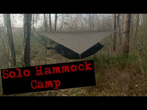
A Solo Camping Trip With A Hammock

Solo hammock overnight camp. Managed to get out to do a overnighter, in the hammock. It was on a school night, so I had to be ...

Nearby Amenities

Located within 500m of 52.882874,-2.0855233
Ford: yes
Source: OSSV
Lat/Long: 52.8816275/-2.0817408
The data included in this document is from www.openstreetmap.org. The data is made available under ODbL.

Have you been to Jolpool Spinney?

Leave your review of Jolpool Spinney below (or comments, questions and feedback).