Gailey Lower Reservoir
Lake, Pool, Pond, Freshwater Marsh in Staffordshire South Staffordshire
England
Gailey Lower Reservoir
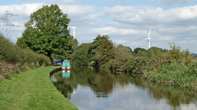
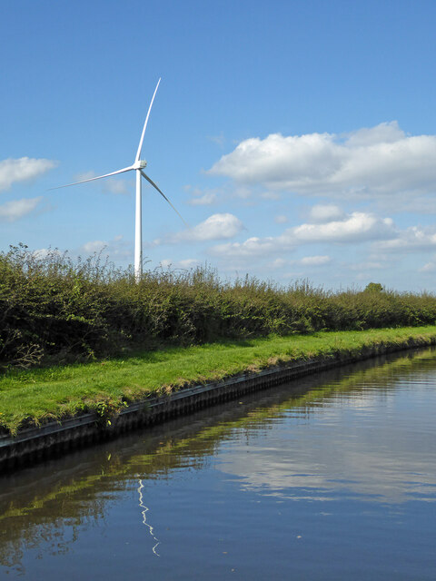
Gailey Lower Reservoir, located in Staffordshire, England, is a freshwater body encompassing an area of approximately 15 hectares. The reservoir serves as a crucial water supply source for the nearby Cannock Chase district. It was originally constructed in the mid-19th century to meet the increasing demand for water during the industrial period.
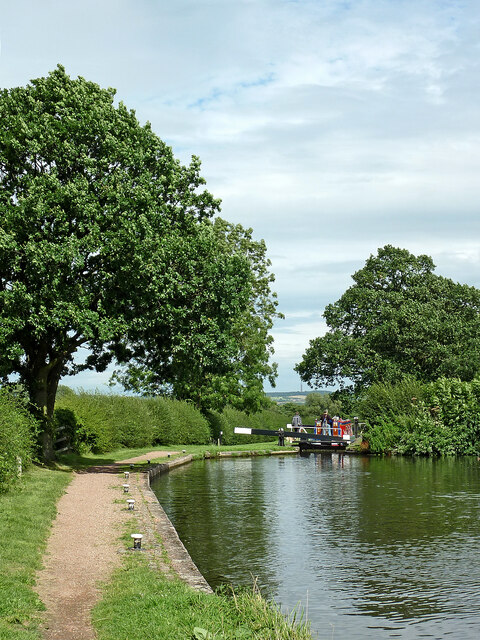
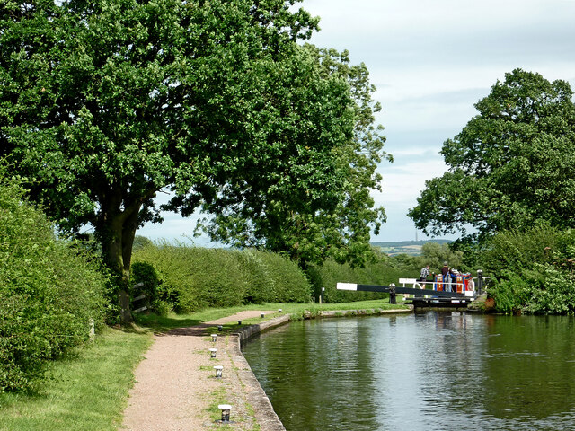
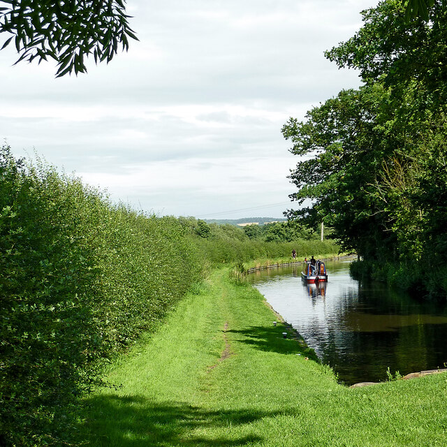
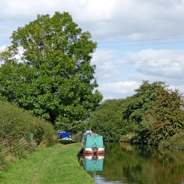
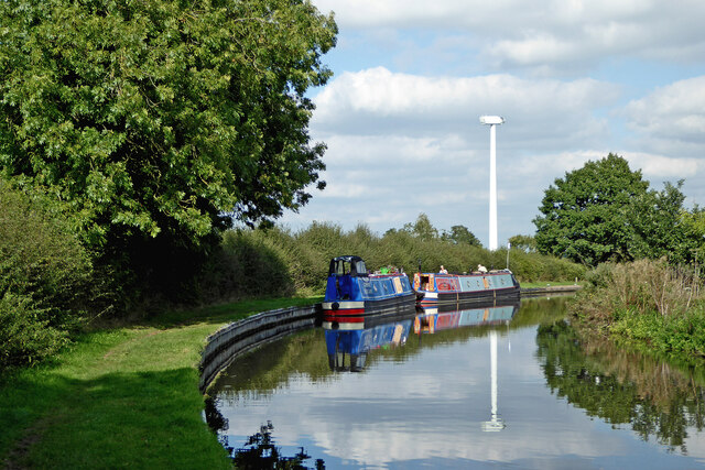
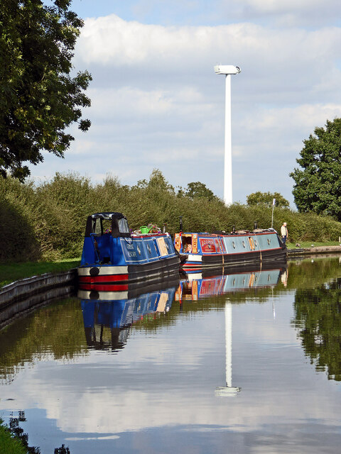
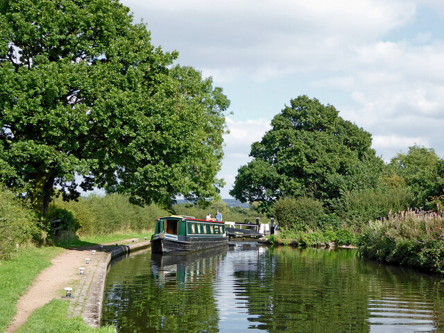
Surrounded by lush greenery and picturesque landscapes, Gailey Lower Reservoir is a popular destination for outdoor enthusiasts and nature lovers alike. The reservoir offers various recreational activities such as fishing, birdwatching, and leisurely walks along its tranquil shores. Anglers can expect to find a variety of fish species, including pike, perch, carp, and bream, making it an ideal spot for fishing enthusiasts of all levels.
The reservoir also serves as a vital habitat for diverse flora and fauna, fostering a thriving ecosystem. Its freshwater marshes provide a suitable environment for a range of aquatic plants, including water lilies and reeds, which in turn attract numerous bird species. Visitors may spot a variety of waterfowl, such as ducks, swans, and herons, as well as other bird species like kingfishers and warblers.
Gailey Lower Reservoir is easily accessible, with a car park and footpaths available for visitors. The surrounding area offers stunning views and ample opportunities for peaceful picnics and nature walks. Whether it's for relaxation, outdoor activities, or wildlife observation, Gailey Lower Reservoir provides a serene and idyllic setting for visitors to enjoy the beauty of nature.
If you have any feedback on the listing, please let us know in the comments section below.
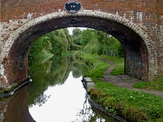
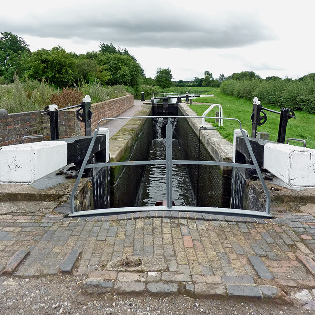
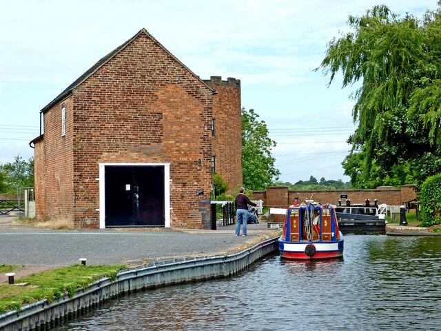
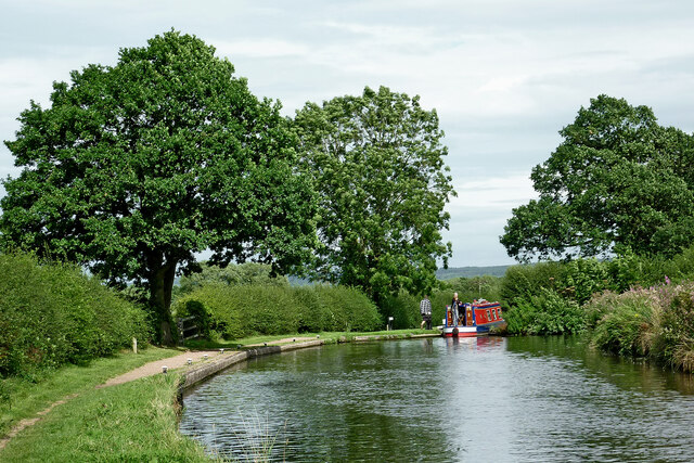
Gailey Lower Reservoir Images
Images are sourced within 2km of 52.691173/-2.0979744 or Grid Reference SJ9310. Thanks to Geograph Open Source API. All images are credited.
Gailey Lower Reservoir is located at Grid Ref: SJ9310 (Lat: 52.691173, Lng: -2.0979744)
Administrative County: Staffordshire
District: South Staffordshire
Police Authority: Staffordshire
What 3 Words
///shapeless.interrupt.runners. Near Penkridge, Staffordshire
Nearby Locations
Related Wikis
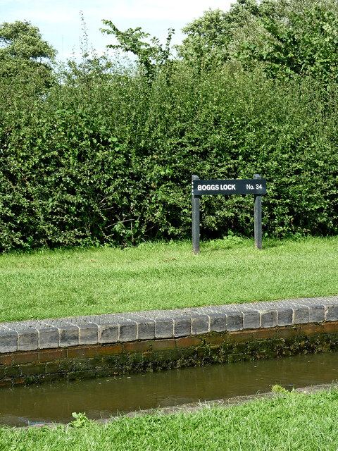
Gailey Reservoirs
Gailey Reservoir is a pair of canal feeder reservoirs in South Staffordshire, separated by a dam, and owned by the Canal & River Trust. Gailey Upper Reservoir...

Cuttleston
Cuttleston or Cuttlestone is a hundred in the county of Staffordshire, England, located in the centre of that county, south of Stafford. Cuttleston was...
Hatherton Canal
The Hatherton Canal is a derelict branch of the Staffordshire and Worcestershire Canal in south Staffordshire, England. It was constructed in two phases...

Penkridge weather station
Penkridge weather station is a weather station at Penkridge in Staffordshire, England, operated by the Met Office. It is situated on the site of Rodbaston...
The Rural Enterprise Academy
The Rural Enterprise Academy is a coeducational high school and sixth form located in Penkridge, Staffordshire, UK. It was the first dedicated land-based...
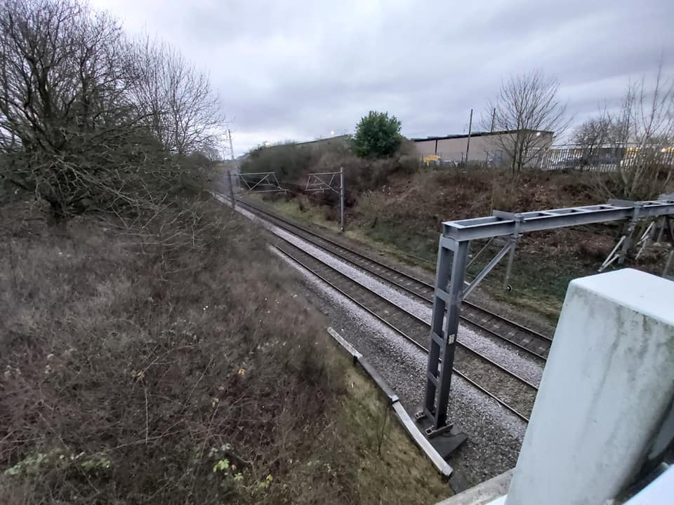
Gailey railway station
Gailey railway station was a railway station built by the Grand Junction Railway in 1837.: 29 It served the small village of Gailey, Staffordshire, 7...
Cannock Hockey Club
Cannock Hockey Club are an English professional field hockey team. They were established in 1905, and are based in the village of Hatherton, near Cannock...
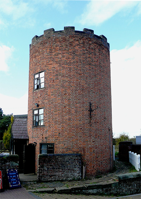
Gailey, Staffordshire
Gailey is a small village in Staffordshire, England. It is at the junction of the A5 and A449 roads, and is on the boundary of the parishes of Brewood...
Nearby Amenities
Located within 500m of 52.691173,-2.0979744Have you been to Gailey Lower Reservoir?
Leave your review of Gailey Lower Reservoir below (or comments, questions and feedback).