Cockshute Pool
Lake, Pool, Pond, Freshwater Marsh in Worcestershire Wychavon
England
Cockshute Pool

Cockshute Pool is a freshwater marsh located in Worcestershire, England. Situated near the village of Cockshute, it covers an area of approximately 10 acres. Often referred to as a lake, pool, or pond, it is a significant natural feature in the region.
The pool is surrounded by lush vegetation, including reeds, rushes, and water lilies, which provide a habitat for a diverse range of wildlife. It attracts numerous species of birds, such as herons, ducks, and kingfishers, making it a popular spot for birdwatchers and nature enthusiasts. The tranquil surroundings and serene atmosphere also make it a perfect destination for those seeking a peaceful retreat.
The pool is fed by natural springs and rainfall, ensuring a constant supply of freshwater. It supports a variety of aquatic life, including fish, frogs, and insects, which contribute to the overall ecosystem of the marsh. The water is relatively clear and free from pollution, making it safe for wildlife and visitors alike.
Cockshute Pool is accessible via footpaths and is surrounded by scenic countryside, offering visitors the opportunity to explore the surrounding area. The pool is well-maintained and managed by local authorities to preserve its natural beauty and protect the wildlife that inhabits it.
Overall, Cockshute Pool is a picturesque freshwater marsh that provides a haven for wildlife and a peaceful escape for visitors. Its diverse ecosystem and scenic surroundings make it a valuable natural asset in Worcestershire.
If you have any feedback on the listing, please let us know in the comments section below.
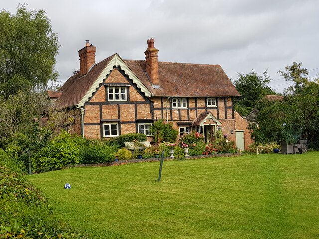
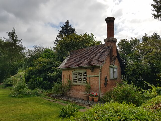
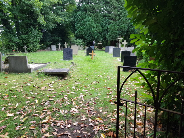
Cockshute Pool Images
Images are sourced within 2km of 52.25352/-2.1287198 or Grid Reference SO9161. Thanks to Geograph Open Source API. All images are credited.


Cockshute Pool is located at Grid Ref: SO9161 (Lat: 52.25352, Lng: -2.1287198)
Administrative County: Worcestershire
District: Wychavon
Police Authority: West Mercia
What 3 Words
///wage.stands.slang. Near Droitwich, Worcestershire
Nearby Locations
Related Wikis

Hadzor
Hadzor is a small village near Droitwich, Worcestershire, England. There are around fourteen houses and a Roman Catholic church in the village, although...
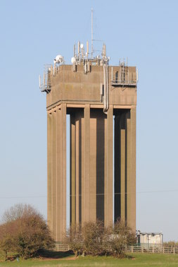
Droitwich Water Tower
The Droitwich Water Tower, also known as Yew Tree Hill Water Tower, is a structure on Yew Tree Hill in Droitwich, England, owned and operated by Severn...

Dunhampstead
Dunhampstead is a small village in the English county of Worcestershire. It is located about 6 miles to the north-east of Worcester and around half a...

Droitwich Spa Lido
The Droitwich Spa Lido is a lido in Droitwich Spa, Worcestershire, England. It is one of the few remaining inland, open-air salt-water swimming pools...

Church of the Sacred Heart and St Catherine of Alexandria
The Church of the Sacred Heart and St Catherine of Alexandria is a Catholic church situated in Droitwich Spa, Worcestershire, England, noted for its remarkable...
Droitwich Road railway station
Droitwich Road railway station served the town of Droitwich Spa, Worcestershire, England, from 1840 to 1855 on the Birmingham and Gloucester Railway....

Old Town Hall, Droitwich Spa
The Old Town Hall is a municipal building in St Andrews Street, Droitwich Spa, Worcestershire, England. The structure, which was the headquarters of Droitwich...

Oddingley
Oddingley is a village and civil parish in the English county of Worcestershire, approximately 9 km (5.6 mi) north-east of the county town of Worcester...
Nearby Amenities
Located within 500m of 52.25352,-2.1287198Have you been to Cockshute Pool?
Leave your review of Cockshute Pool below (or comments, questions and feedback).