Brantley Pool
Lake, Pool, Pond, Freshwater Marsh in Staffordshire South Staffordshire
England
Brantley Pool

Brantley Pool is a picturesque freshwater lake located in Staffordshire, England. Nestled within a serene natural setting, it offers visitors a tranquil retreat from the hustle and bustle of everyday life. The pool spans across a sprawling area, encompassing an estimated 5 acres, and is surrounded by lush green vegetation and a variety of native trees.
The crystal-clear water of Brantley Pool is fed by natural springs, ensuring its freshness and purity. This makes it an ideal habitat for a diverse range of aquatic life, including various species of fish, waterfowl, and amphibians. Anglers are often drawn to the pool for its thriving fish population, which includes common species such as carp, pike, and perch.
The pool's surroundings are equally captivating, with several walking trails and picnic areas available for visitors to enjoy. The dense vegetation surrounding the lake provides ample opportunities for birdwatching, making it a popular spot for nature enthusiasts. Additionally, the area is home to a variety of other wildlife, including deer, rabbits, and foxes.
Brantley Pool is also adjacent to a freshwater marsh, which further enhances its ecological importance. This marsh provides a vital habitat for several rare and endangered plant species, as well as nesting grounds for numerous bird species. The marshland is a paradise for birdwatchers and nature photographers, allowing them to capture stunning images of the diverse avian population.
Overall, Brantley Pool in Staffordshire is a haven of natural beauty, offering a peaceful and idyllic environment for both wildlife and visitors alike. Whether it's fishing, birdwatching, or simply enjoying a leisurely stroll, this stunning freshwater lake has something to offer for everyone.
If you have any feedback on the listing, please let us know in the comments section below.
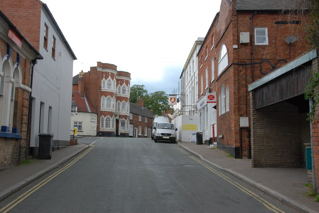
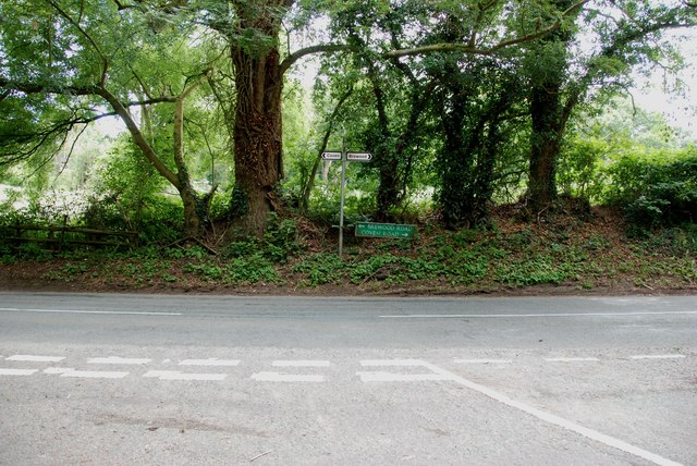
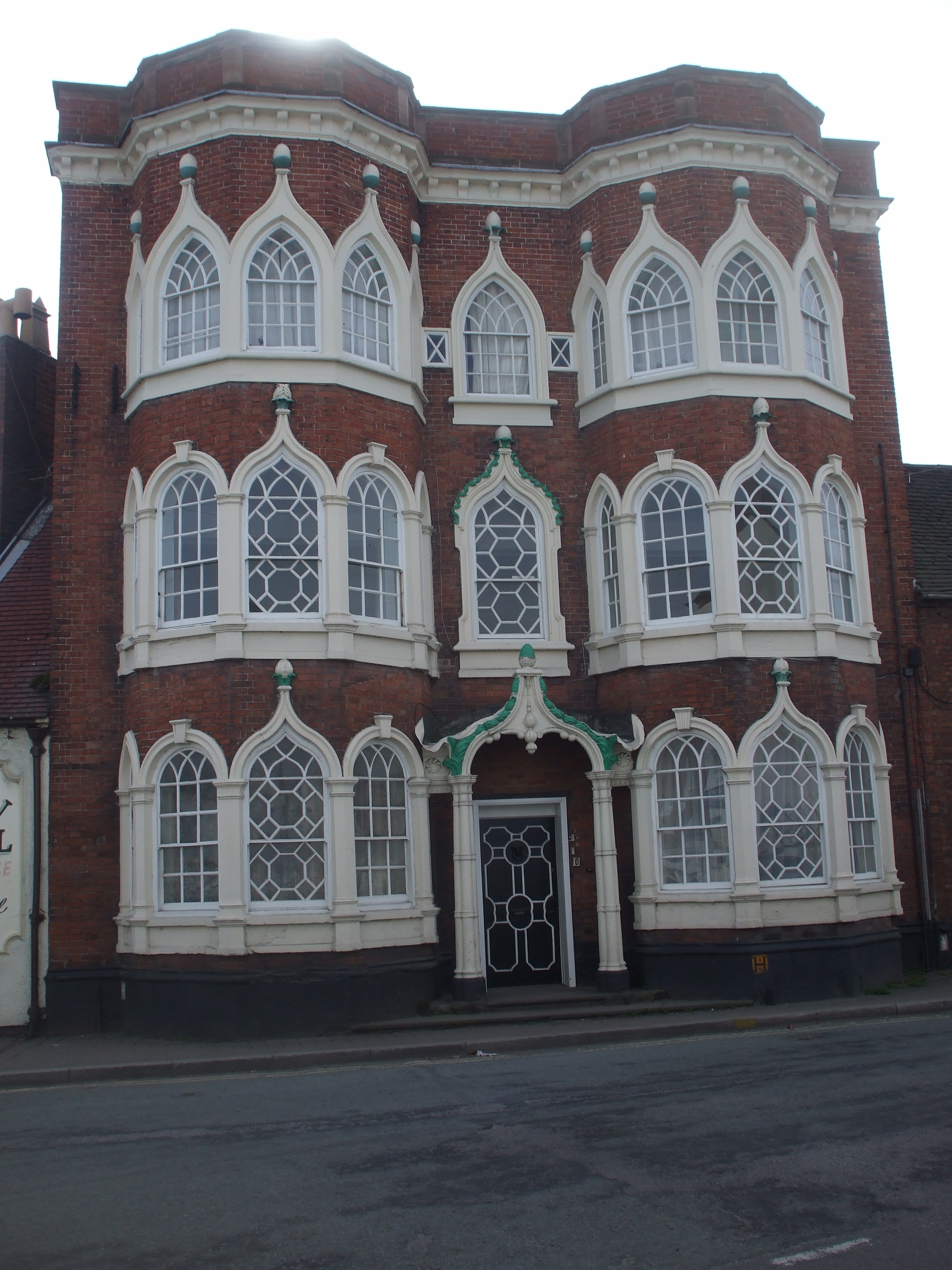
Brantley Pool Images
Images are sourced within 2km of 52.673424/-2.1449638 or Grid Reference SJ9008. Thanks to Geograph Open Source API. All images are credited.


Brantley Pool is located at Grid Ref: SJ9008 (Lat: 52.673424, Lng: -2.1449638)
Administrative County: Staffordshire
District: South Staffordshire
Police Authority: Staffordshire
What 3 Words
///epic.uppermost.housework. Near Brewood, Staffordshire
Nearby Locations
Related Wikis

Somerford Hall
Somerford Hall is an 18th-century Palladian style mansion house at Brewood, Staffordshire. It is a Grade II* listed building. Somerford is a name of Old...

Four Ashes, Staffordshire
Four Ashes is a village in the district of South Staffordshire in Staffordshire, England, located about 4 miles (6.4 km) west of Cannock, 7 miles (11 km...
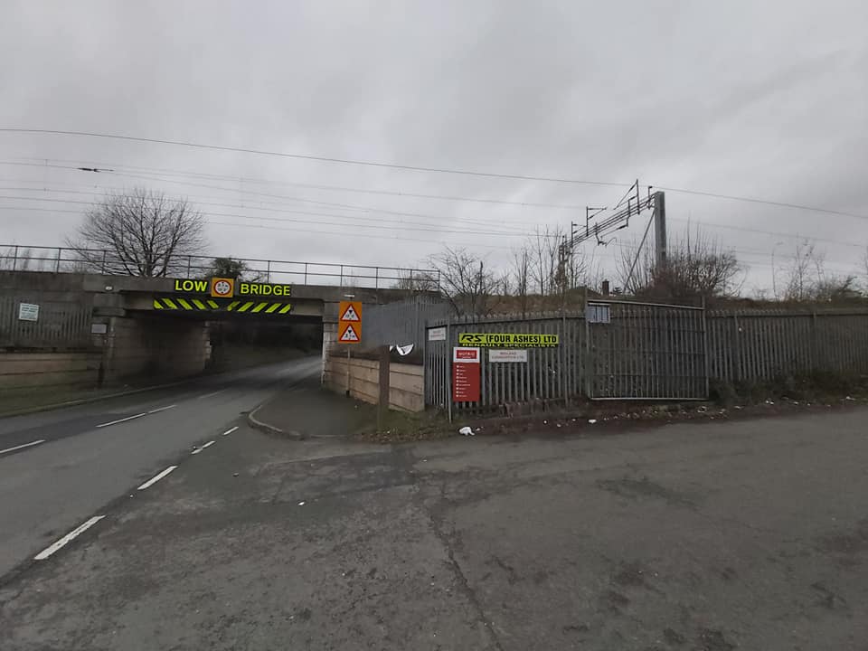
Four Ashes railway station
Four Ashes railway station was a railway station built by the Grand Junction Railway in 1837.: 28 It served the small village of Four Ashes, Staffordshire...

Cannock Rural District
Cannock was a rural district in Staffordshire, England from 1894 to 1974. It was created by the Local Government Act 1894, based on the Cannock rural sanitary...

St Paul's Church, Coven
St Paul's Church, Coven is a Grade II listed parish church in the Church of England in Coven, Staffordshire == History == The church was built in 1857...
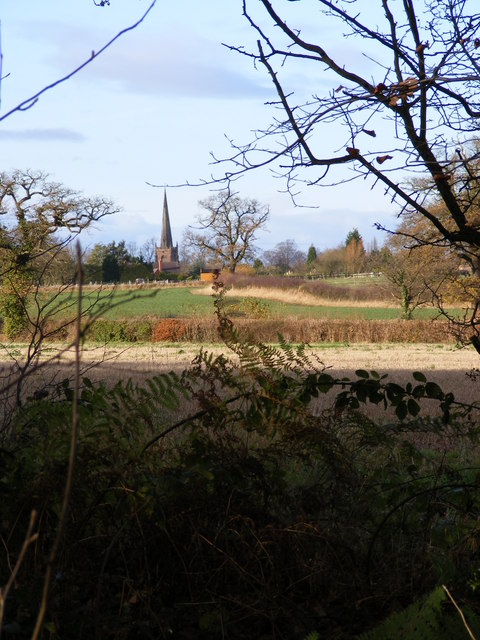
Brewood
Brewood is an ancient market town in the civil parish of Brewood and Coven, in the South Staffordshire district, in the county of Staffordshire, England...
Speedwell Castle
Speedwell Castle is a mid-18th-century house at the centre of Brewood, Staffordshire, between Wolverhampton and Stafford. Described by Pevsner as a "peach...
Brewood Grammar School
Brewood Grammar School was a boys' school in the village of Brewood in South Staffordshire, England. Founded in the mid 15th century by the Bishop of Lichfield...
Nearby Amenities
Located within 500m of 52.673424,-2.1449638Have you been to Brantley Pool?
Leave your review of Brantley Pool below (or comments, questions and feedback).