Marsh Wood
Wood, Forest in Staffordshire South Staffordshire
England
Marsh Wood

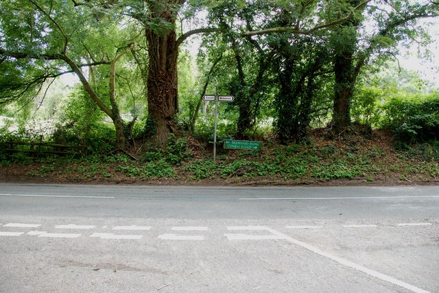
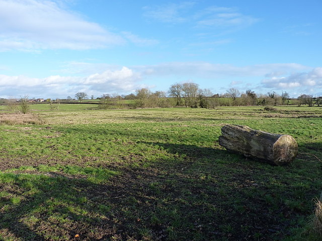
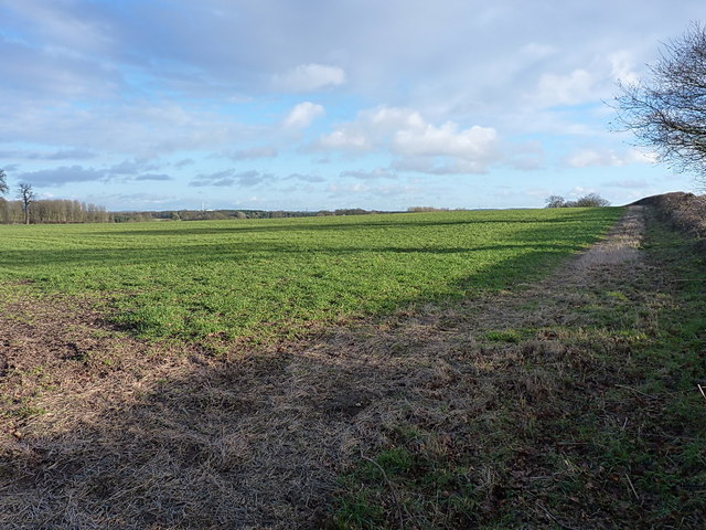
Marsh Wood is a picturesque woodland located in Staffordshire, England. Situated in the heart of the county, it covers an area of approximately 100 hectares and is renowned for its natural beauty and diverse wildlife. The wood is easily accessible, with several footpaths and trails that allow visitors to explore its enchanting surroundings.
The woodland is predominantly composed of deciduous trees, including oak, beech, and birch, which create a vibrant and ever-changing landscape throughout the seasons. This variety of tree species also provides a rich habitat for a wide range of wildlife, including deer, foxes, rabbits, and numerous bird species.
As visitors venture deeper into Marsh Wood, they will encounter a tranquil and serene atmosphere, far from the hustle and bustle of urban life. The wood is home to a small stream, which meanders through the trees, adding to the area's natural charm. Several small ponds can also be found within the wood, providing a haven for amphibians and insects.
For nature enthusiasts, Marsh Wood offers an ideal location for birdwatching, with several species being observed throughout the year. The wood is also a popular spot for nature photography, with its stunning scenery providing ample opportunities for capturing breathtaking shots.
In addition to its natural beauty, Marsh Wood has historical significance. The wood has been a part of the Staffordshire landscape for centuries and has witnessed various human activities, including charcoal production and timber harvesting.
Overall, Marsh Wood is a treasured natural gem in Staffordshire, offering visitors a chance to immerse themselves in its serene atmosphere, admire its diverse wildlife, and appreciate the wonders of nature.
If you have any feedback on the listing, please let us know in the comments section below.
Marsh Wood Images
Images are sourced within 2km of 52.673514/-2.1372294 or Grid Reference SJ9008. Thanks to Geograph Open Source API. All images are credited.


Marsh Wood is located at Grid Ref: SJ9008 (Lat: 52.673514, Lng: -2.1372294)
Administrative County: Staffordshire
District: South Staffordshire
Police Authority: Staffordshire
What 3 Words
///bleat.confident.soon. Near Coven, Staffordshire
Nearby Locations
Related Wikis

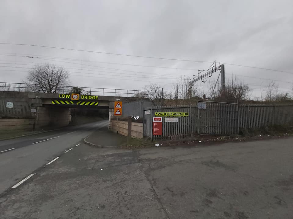
Four Ashes, Staffordshire
Four Ashes is a village in the district of South Staffordshire in Staffordshire, England, located about 4 miles (6.4 km) west of Cannock, 7 miles (11 km...

Somerford Hall
Somerford Hall is an 18th-century Palladian style mansion house at Brewood, Staffordshire. It is a Grade II* listed building. Somerford is a name of Old...
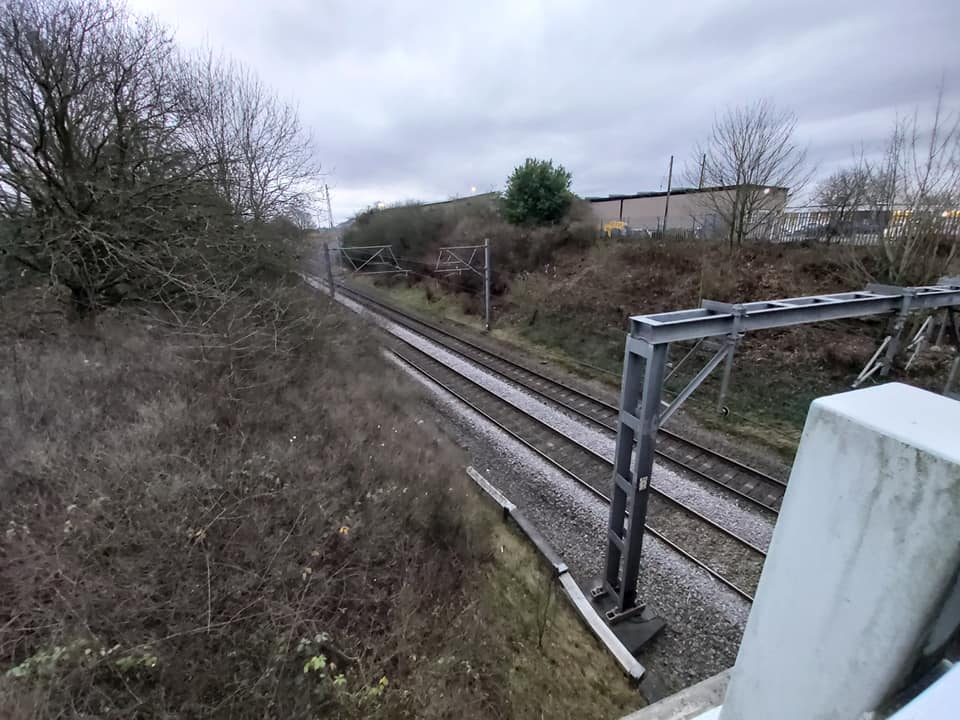
Four Ashes railway station
Four Ashes railway station was a railway station built by the Grand Junction Railway in 1837.: 28 It served the small village of Four Ashes, Staffordshire...

St Paul's Church, Coven
St Paul's Church, Coven is a Grade II listed parish church in the Church of England in Coven, Staffordshire == History == The church was built in 1857...

Cannock Rural District
Cannock was a rural district in Staffordshire, England from 1894 to 1974. It was created by the Local Government Act 1894, based on the Cannock rural sanitary...
Gailey railway station
Gailey railway station was a railway station built by the Grand Junction Railway in 1837.: 29 It served the small village of Gailey, Staffordshire, 7...
Pennocrucium
Pennocrucium was a Romano-British settlement and military complex located at present day Water Eaton, just south of Penkridge, Staffordshire, with evidence...
Gailey, Staffordshire
Gailey is a small village in Staffordshire, England. It is at the junction of the A5 and A449 roads, and is on the boundary of the parishes of Brewood...
Nearby Amenities
Located within 500m of 52.673514,-2.1372294Have you been to Marsh Wood?
Leave your review of Marsh Wood below (or comments, questions and feedback).