Prickshaw Dams
Lake, Pool, Pond, Freshwater Marsh in Lancashire
England
Prickshaw Dams
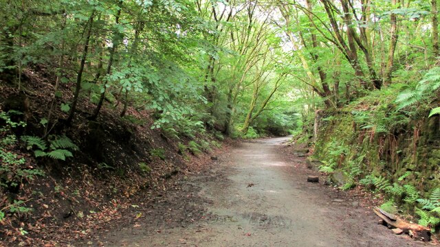
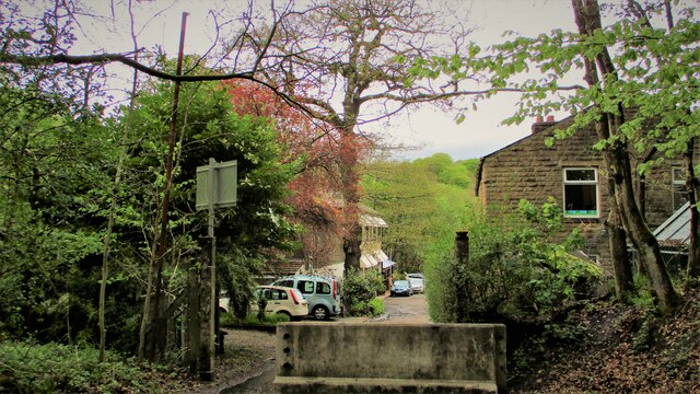
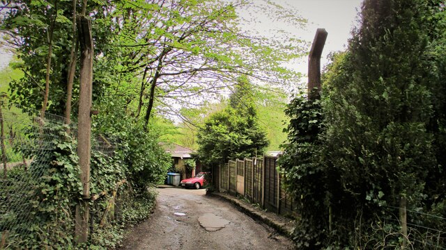
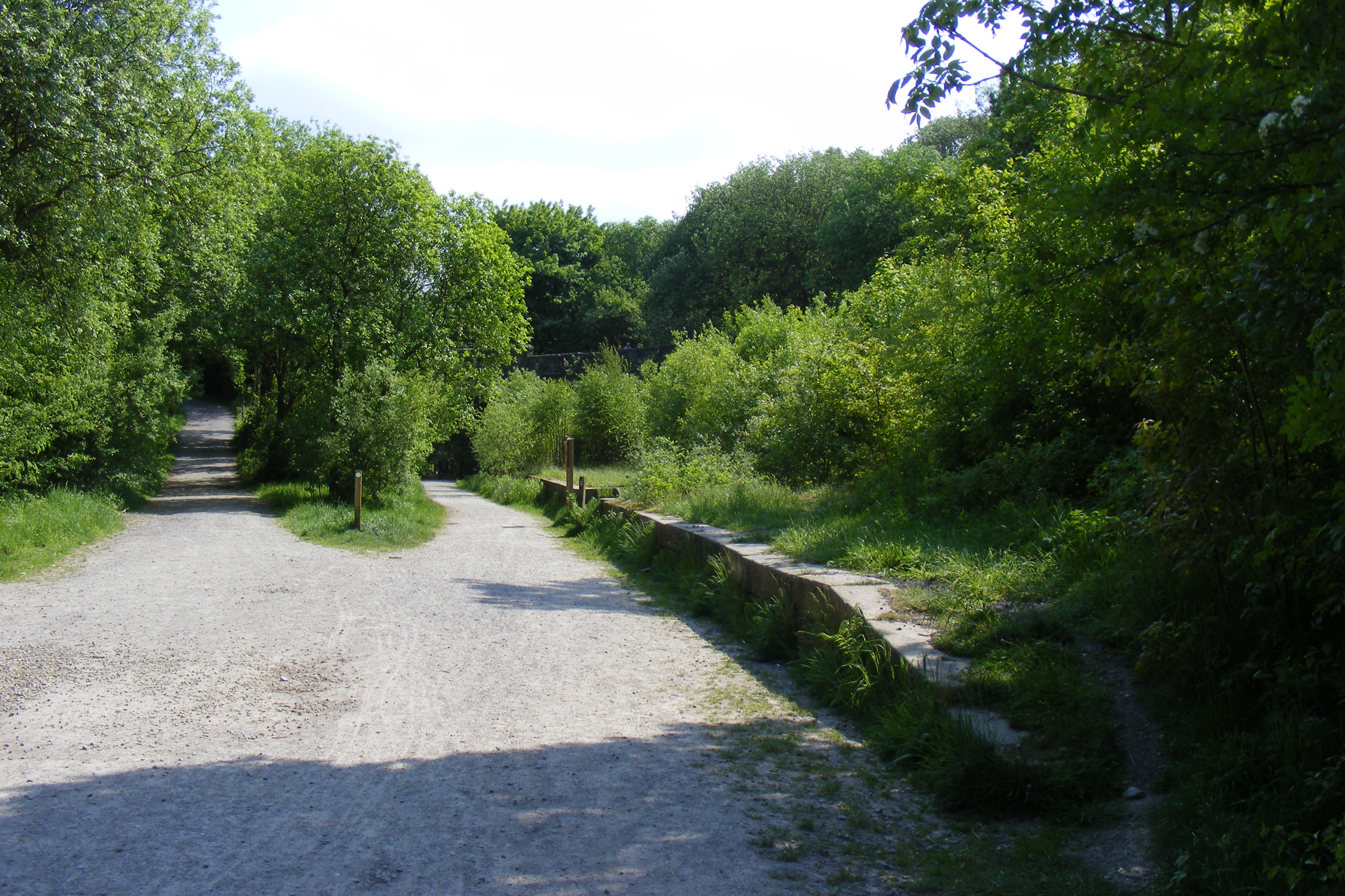
Prickshaw Dams is a picturesque freshwater marsh located in Lancashire, England. It is a nature reserve encompassing a series of interconnected water bodies, including lakes, pools, ponds, and a sprawling marshland. The reserve covers an area of approximately 24 hectares and offers a haven for a diverse range of plant and animal species.
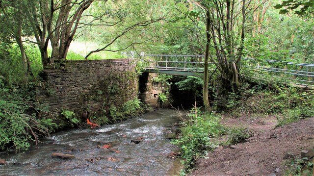
The main feature of Prickshaw Dams is the three large lakes which are interconnected by a meandering network of channels. These lakes provide an ideal habitat for a variety of aquatic plants, such as water lilies and reeds, which thrive in the calm and nutrient-rich waters. The lakes are also home to several species of fish, including carp, roach, and perch, making it a popular spot for anglers.
In addition to the lakes, the reserve boasts several smaller pools and ponds, each with its own unique ecosystem. These smaller water bodies attract a variety of bird species, including mallards, coots, and herons, making it a perfect location for birdwatchers.
The surrounding marshland of Prickshaw Dams is characterized by its diverse vegetation, including sedges, rushes, and grasses. This marshland provides vital nesting and feeding grounds for many wetland bird species, including the rare bittern.
Prickshaw Dams is managed by the Lancashire Wildlife Trust, which works tirelessly to maintain and enhance the diverse habitats found within the reserve. Visitors to Prickshaw Dams can enjoy the tranquil surroundings, walk along well-maintained footpaths, and observe the rich variety of wildlife that calls this nature reserve home.
If you have any feedback on the listing, please let us know in the comments section below.
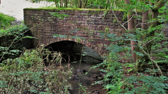
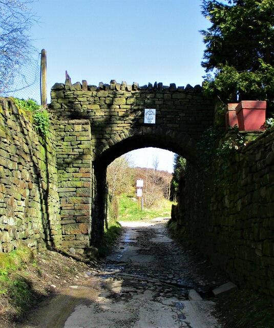
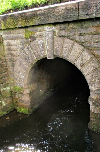
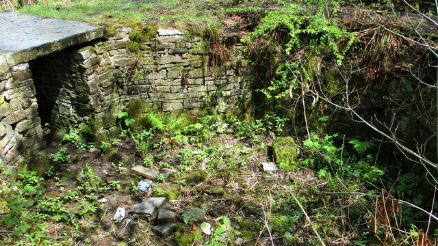
Prickshaw Dams Images
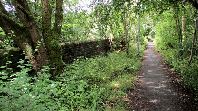
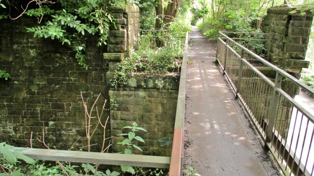
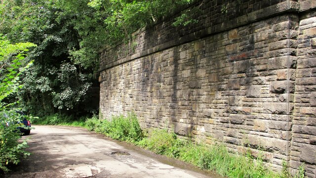
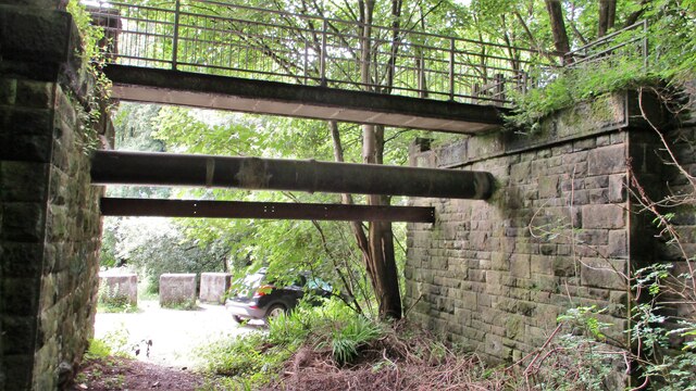
Images are sourced within 2km of 53.645896/-2.1928328 or Grid Reference SD8716. Thanks to Geograph Open Source API. All images are credited.
Prickshaw Dams is located at Grid Ref: SD8716 (Lat: 53.645896, Lng: -2.1928328)
Unitary Authority: Rochdale
Police Authority: Greater Manchester
What 3 Words
///pumps.limes.bike. Near Whitworth, Lancashire
Nearby Locations
Related Wikis
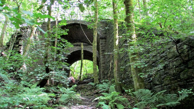
Broadley railway station
Broadley railway station served Broadley in Rochdale, England, from 1870 until closure in 1947. It was situated at Healey Dell. == References == Lost Railways...
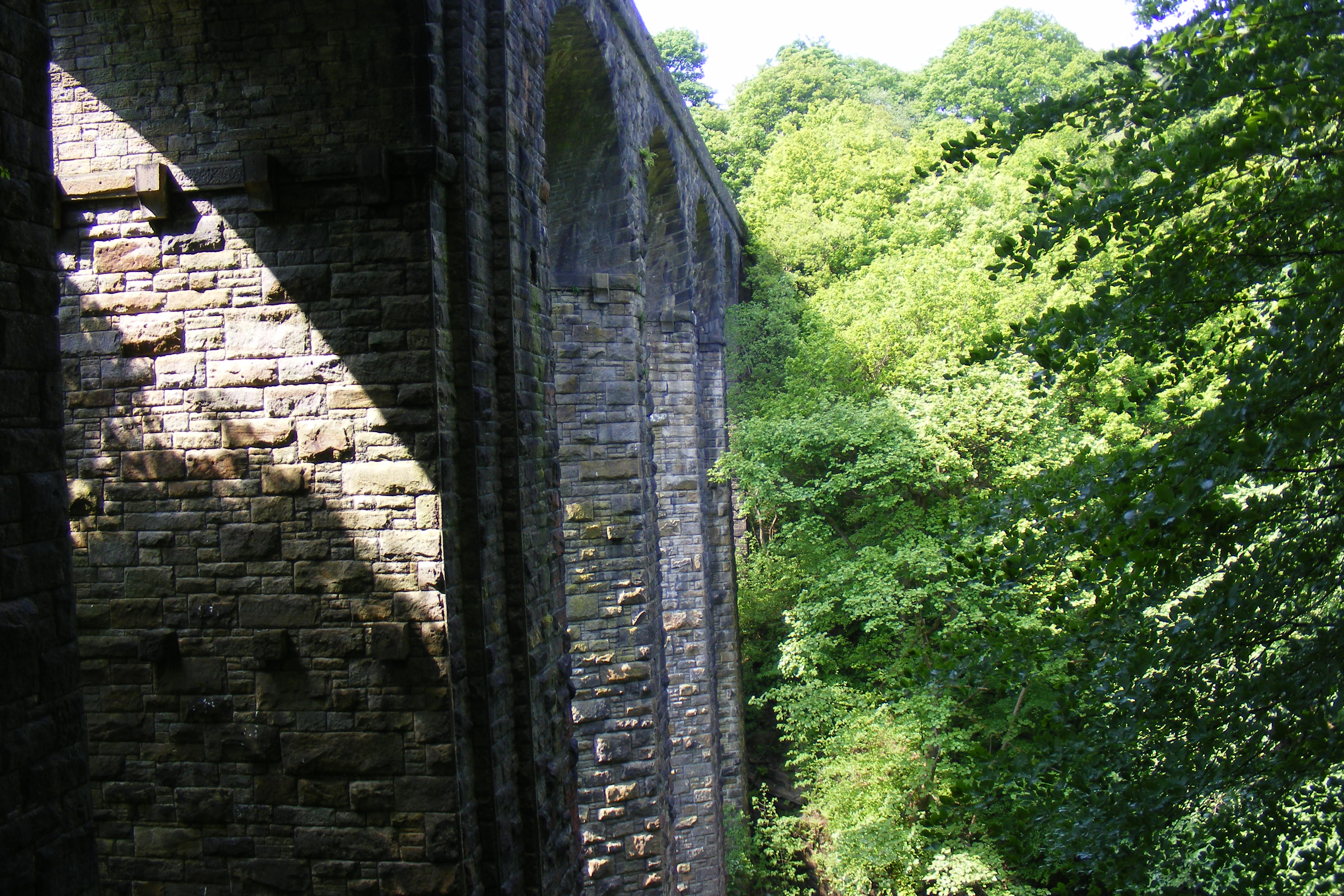
Healey Dell Viaduct
Healey Dell Viaduct is a viaduct situated in Healey Dell Nature Reserve in the Spodden Valley, on the outskirts of Rochdale in Greater Manchester, England...

Healey, Greater Manchester
Healey is part of the Metropolitan Borough of Rochdale, Greater Manchester, England. Historically part of Lancashire, it includes Shawclough, Syke and...

Whitworth railway station
Whitworth railway station served the town of Whitworth, Rossendale, Lancashire, England, from 1870 until closure in 1947. == References == Lost Railways...
Nearby Amenities
Located within 500m of 53.645896,-2.1928328Have you been to Prickshaw Dams?
Leave your review of Prickshaw Dams below (or comments, questions and feedback).