Hanchurch Pools

Lake, Pool, Pond, Freshwater Marsh in Staffordshire Stafford

England

Hanchurch Pools

Plenty more to harrow Looking across this field towards Kingswood Bank. The tractor is harrowing the field, working towards the camera.
Plenty more to harrow Credit: Rich Tea

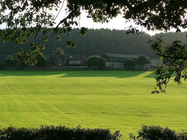
Hanchurch Pools is a picturesque freshwater wetland located in Staffordshire, England. Spanning an area of approximately 15 hectares, this natural haven consists of a lake, pool, pond, and freshwater marsh, making it a diverse and rich habitat for various species of flora and fauna.

The main feature of Hanchurch Pools is the lake, which covers a significant portion of the site. The lake is surrounded by lush vegetation, including reed beds and water lilies, providing a tranquil and scenic setting for visitors to enjoy. The water is crystal clear and home to a wide array of aquatic life, such as fish, frogs, and ducks.

Adjacent to the lake is a smaller pool, which serves as a breeding ground for many waterfowl species. Visitors can often spot graceful swans, elegant geese, and colorful ducks gliding across the water's surface.

The pond at Hanchurch Pools offers a different perspective, with its shallower waters and abundance of aquatic plants. This area is particularly attractive to dragonflies and damselflies, which can be observed darting amongst the vegetation.

Lastly, the freshwater marsh is an essential part of the ecosystem at Hanchurch Pools. It is characterized by its waterlogged soil and supports a diverse range of plant species, including cattails and sedges. This marshland provides a crucial habitat for various bird species, such as marsh harriers and reed warblers.

Overall, Hanchurch Pools is a valuable natural treasure in Staffordshire, offering a haven for both wildlife and visitors seeking tranquility and a chance to connect with nature.

If you have any feedback on the listing, please let us know in the comments section below.

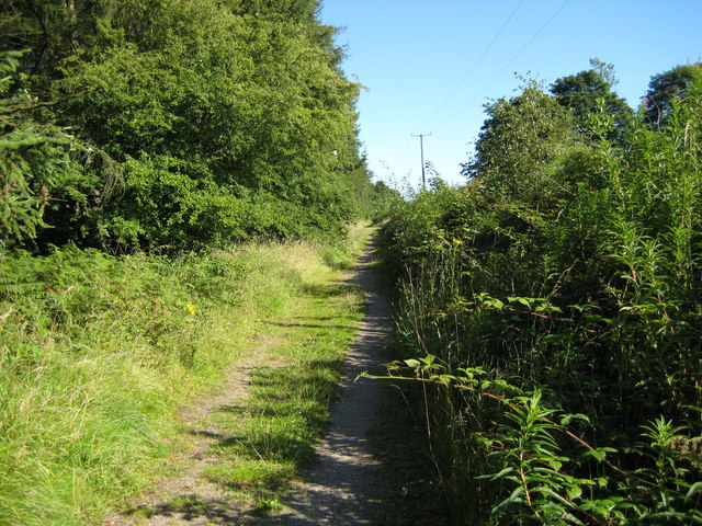
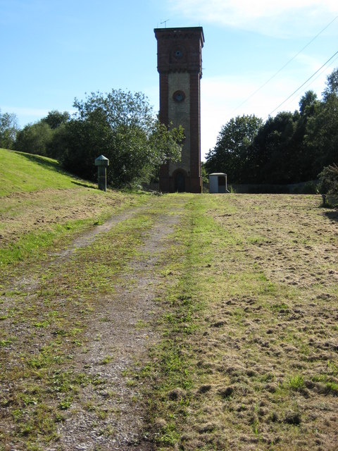
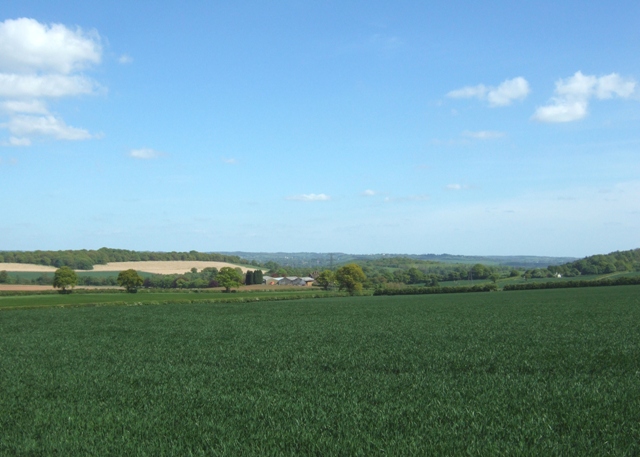
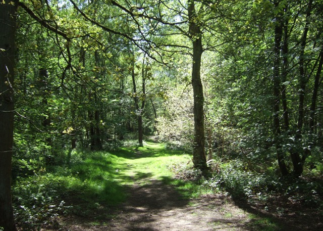
Hanchurch Pools Images

Images are sourced within 2km of 52.963436/-2.2328935 or Grid Reference SJ8440. Thanks to Geograph Open Source API. All images are credited.

Plenty more to harrow Looking across this field towards Kingswood Bank. The tractor is harrowing the field, working towards the camera.
Plenty more to harrow
Looking across this field towards Kingswood Bank. The tractor is harrowing the field, working towards the camera.
Bridge over the M6 This is the bridge just over a mile south of junction 15. It carries a track from the A519 towards Kings Wood.
Bridge over the M6
This is the bridge just over a mile south of junction 15. It carries a track from the A519 towards Kings Wood.
M6 looking south From the bridge <a href="https://www.geograph.org.uk/photo/250344">SJ8539 : Bridge over the M6</a>
M6 looking south
From the bridge SJ8539 : Bridge over the M6
Bridge over M6, with hot air balloon The bridge carries a lane from the A519 near The Toft towards Kings Wood
Bridge over M6, with hot air balloon
The bridge carries a lane from the A519 near The Toft towards Kings Wood
Stile to nowhere The bridge over the M6 has a gate which could swing across the entrance, the post is by the opposite rail. This stile should meet up with it, but the hinges seem to have seized up when I tried to move it.
See <a href="https://www.geograph.org.uk/photo/250670">SJ8539 : Bridge over M6, with hot air balloon</a>
Stile to nowhere
The bridge over the M6 has a gate which could swing across the entrance, the post is by the opposite rail. This stile should meet up with it, but the hinges seem to have seized up when I tried to move it. See SJ8539 : Bridge over M6, with hot air balloon
View across the fields to The Toft Late September afternoon. Taken from the A519 by the bridge over the M6.
View across the fields to The Toft
Late September afternoon. Taken from the A519 by the bridge over the M6.
Entrance to The Toft By the A519.
Entrance to The Toft
By the A519.
The A519 From Eccleshall to Newcastle-under-Lyme
The A519
From Eccleshall to Newcastle-under-Lyme
Field margin with foxgloves near Harley Thorns Farm
Harley Thorn Lane Looking South East along Harley Thorn Lane in Hanchurch Hills
Harley Thorn Lane
Looking South East along Harley Thorn Lane in Hanchurch Hills
Water Tower The water tower at Hanchurch Hills
Water Tower
The water tower at Hanchurch Hills
Swynnerton Old Park Woodland track off Drayton Road
Swynnerton Old Park
Woodland track off Drayton Road
The Toft Looking towards The Toft and Trentham park from Drayton Lane
The Toft
Looking towards The Toft and Trentham park from Drayton Lane
Farmland, Hanchurch A double gateway off Drayton Lane. The Toft and the wooded hills of Trentham Park are in the distance.
Farmland, Hanchurch
A double gateway off Drayton Lane. The Toft and the wooded hills of Trentham Park are in the distance.
Commemorative stone, Hanchurch Woods. This large rock records the gift of these woods to the County.
Commemorative stone, Hanchurch Woods.
This large rock records the gift of these woods to the County.
Glade in Hanchurch Woods The woods are a public open space managed by Staffordshire County Council.
Glade in Hanchurch Woods
The woods are a public open space managed by Staffordshire County Council.
Track through Hanchurch Woods The woods are managed as a public open space by Staffordshire County Council.
Track through Hanchurch Woods
The woods are managed as a public open space by Staffordshire County Council.
Water tower, Hanchurch Woods Built in yellow and red brick this is similar to a number of other Water Board buildings in the area. Sadly the vandals have been unable to resist the temptation of the bullseye windows.
Water tower, Hanchurch Woods
Built in yellow and red brick this is similar to a number of other Water Board buildings in the area. Sadly the vandals have been unable to resist the temptation of the bullseye windows.
Show me another place!

Hanchurch Pools is located at Grid Ref: SJ8440 (Lat: 52.963436, Lng: -2.2328935)

Administrative County: Staffordshire

District: Stafford

Police Authority: Staffordshire

What 3 Words

///librarian.foal.slug. Near Newcastle under Lyme, Staffordshire

Related Wikis

Acton, Staffordshire

Acton is a hamlet in the Borough of Newcastle-under-Lyme, Staffordshire. It lies four miles south west of Newcastle close to the junction of the A53 and...

Trentham Mausoleum

The Trentham Mausoleum is a Grade I listed mausoleum in Trentham, Stoke-on-Trent, built as the final resting place of the Dukes of Sutherland from the...

Trentham Estate

The Trentham Estate, in the village of Trentham, is a visitor attraction located on the southern fringe of the city of Stoke-on-Trent in Staffordshire...

Trentham Gardens railway station

Trentham Gardens railway station (originally named Trentham Park) was the last station built by the North Staffordshire Railway (NSR) and was the terminus...

Clayton, Staffordshire

Clayton is a suburb and a ward in the Newcastle-under-Lyme district, in the county of Staffordshire, England. == Today == Clayton lies on the boundary...
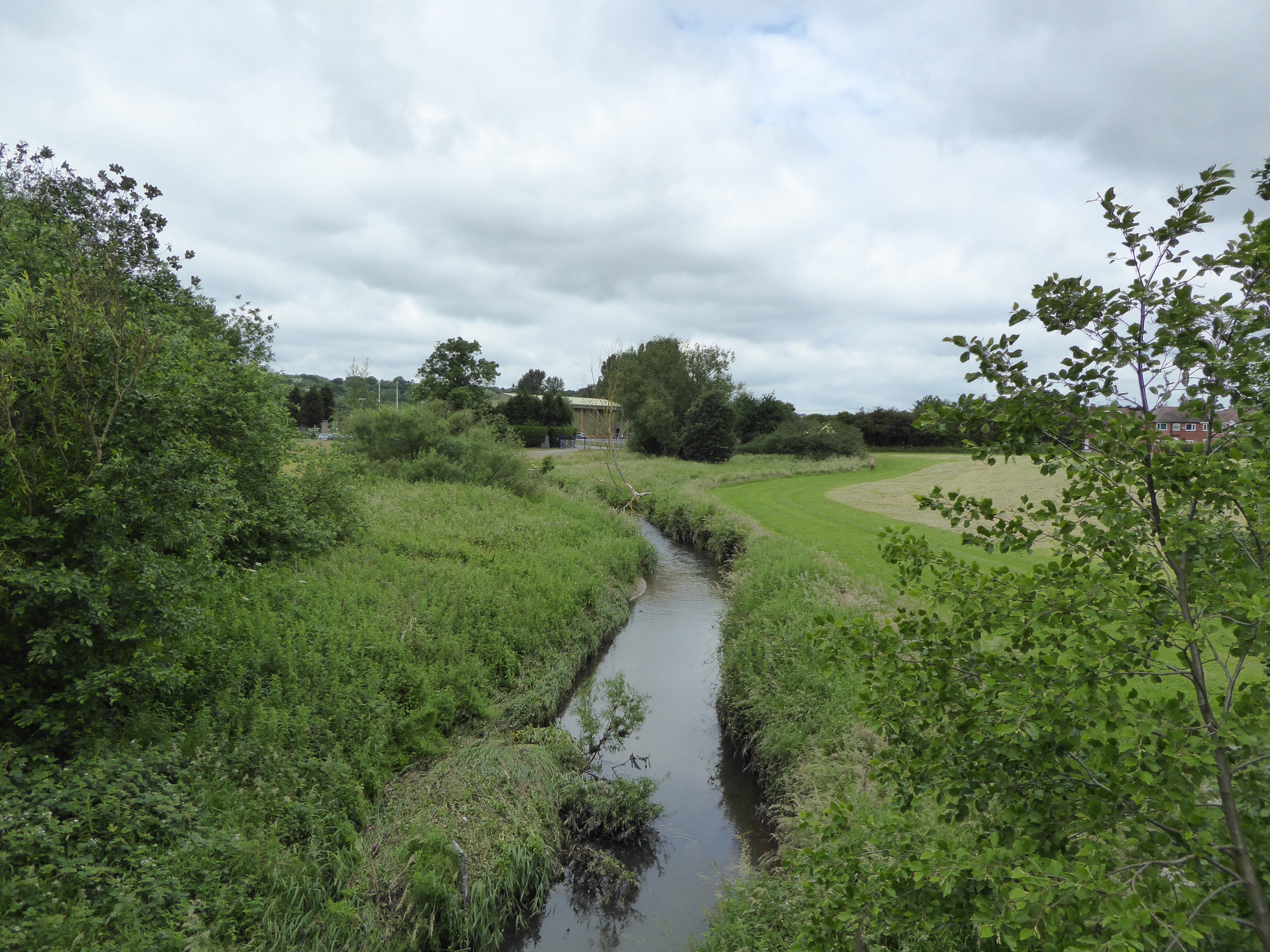
Lyme Brook

Lyme Brook is a tributary stream of the River Trent, which flows through Newcastle-under-Lyme, and the outlying areas of Stoke-on-Trent in Staffordshire...

Trentham Academy

Trentham Academy (formerly Trentham High School) is a coeducational secondary school located in the village of Trentham in Stoke-on-Trent, Staffordshire...

Trentham, Staffordshire

Trentham () is a suburb of the city of Stoke-on-Trent in North Staffordshire, England, south-west of the city centre and south of the neighbouring town...

Nearby Amenities

Located within 500m of 52.963436,-2.2328935
Power: tower
Source: Bing
Lat/Long: 52.964074/-2.2384524
Power: tower
Source: Bing
Lat/Long: 52.9596184/-2.2329904
Power: tower
Source: Bing
Lat/Long: 52.9615259/-2.2354115
Barrier: stile
Lat/Long: 52.9621403/-2.2376486
Barrier: stile
Lat/Long: 52.9604129/-2.2381321
Barrier: stile
Lat/Long: 52.961333/-2.2382708
Barrier: stile
Lat/Long: 52.9610493/-2.2379459
Power: pole
Lat/Long: 52.9595131/-2.2297655
Power: pole
Lat/Long: 52.9599474/-2.2283883
The data included in this document is from www.openstreetmap.org. The data is made available under ODbL.

Have you been to Hanchurch Pools?

Leave your review of Hanchurch Pools below (or comments, questions and feedback).