Hanchurch Hills Plantation
Wood, Forest in Staffordshire Stafford
England
Hanchurch Hills Plantation
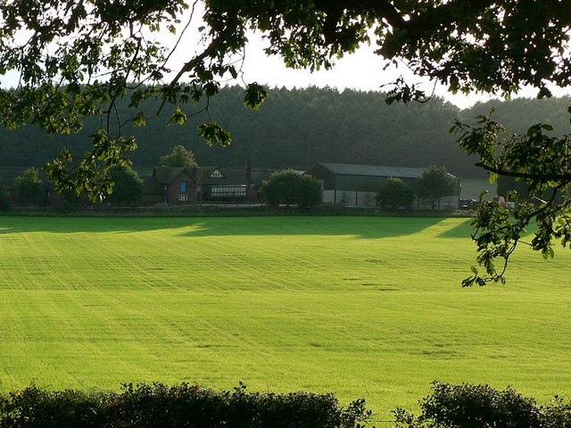
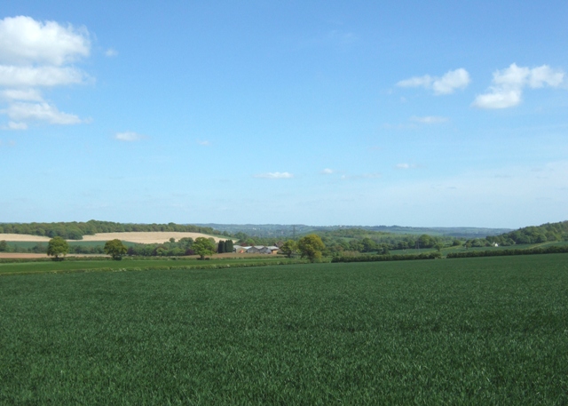
Hanchurch Hills Plantation is a picturesque woodland located in Staffordshire, England. Situated near the village of Hanchurch, this expansive forest covers an area of approximately 200 acres. The plantation is renowned for its diverse range of trees, including oak, beech, ash, and birch, creating a stunning mosaic of colors throughout the year.
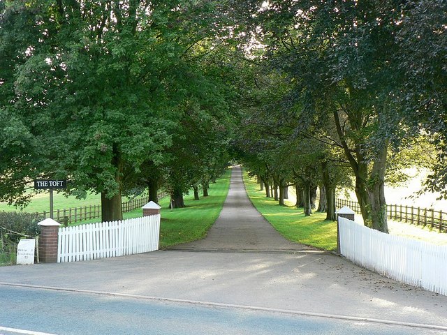
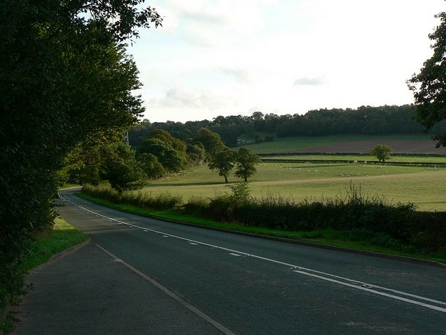
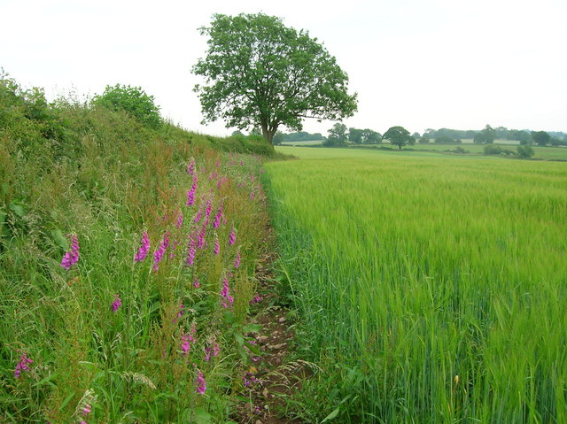
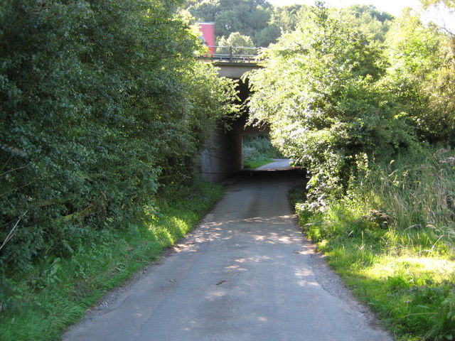
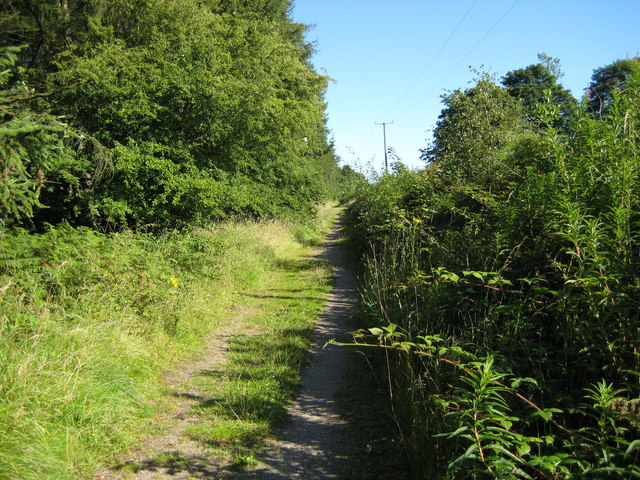
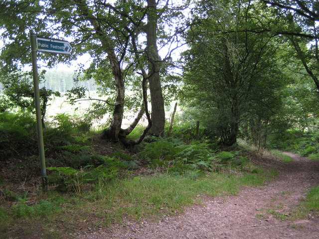
The woodland is a popular destination for nature enthusiasts and hikers, offering a network of well-maintained trails that meander through the rolling hills and tranquil valleys. These paths provide visitors with the opportunity to explore the rich biodiversity of the plantation, with sightings of various bird species, small mammals, and indigenous flora being common.
Hanchurch Hills Plantation also holds historical significance. It was originally established as a timber plantation in the early 19th century, supplying the local industry with a sustainable source of wood. The remnants of old sawpits and timber carriageways can still be found within the forest, serving as a reminder of its past.
In addition to its natural and historical attributes, the plantation offers recreational facilities for visitors. There are picnic areas and benches strategically placed throughout the woodland, providing opportunities for relaxation and enjoying the serene surroundings. The plantation also hosts educational programs, allowing school groups and nature enthusiasts to learn about the importance of woodland conservation and sustainable forest management.
Overall, Hanchurch Hills Plantation is a scenic and diverse woodland, offering a serene escape from the bustling city life. Its rich natural beauty, combined with its historical significance and recreational amenities, makes it a cherished destination for both locals and tourists alike.
If you have any feedback on the listing, please let us know in the comments section below.
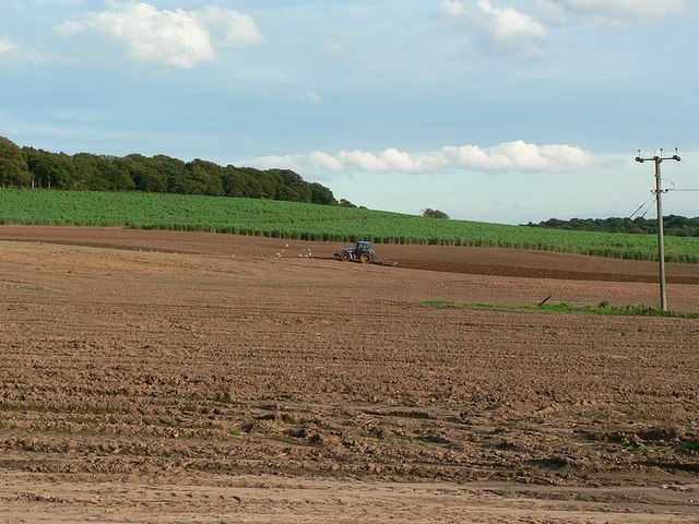
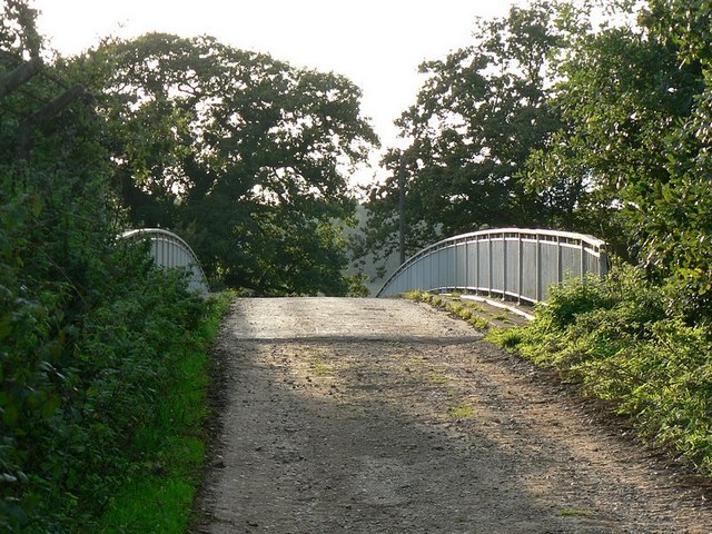
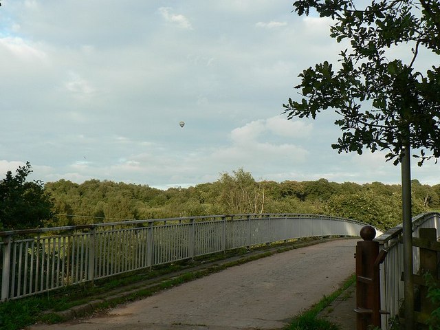
Hanchurch Hills Plantation Images
Images are sourced within 2km of 52.958075/-2.2394443 or Grid Reference SJ8440. Thanks to Geograph Open Source API. All images are credited.


Hanchurch Hills Plantation is located at Grid Ref: SJ8440 (Lat: 52.958075, Lng: -2.2394443)
Administrative County: Staffordshire
District: Stafford
Police Authority: Staffordshire
What 3 Words
///leans.latest.dare. Near Newcastle under Lyme, Staffordshire
Nearby Locations
Related Wikis

Acton, Staffordshire
Acton is a hamlet in the Borough of Newcastle-under-Lyme, Staffordshire. It lies four miles south west of Newcastle close to the junction of the A53 and...

Trentham Estate
The Trentham Estate, in the village of Trentham, is a visitor attraction located on the southern fringe of the city of Stoke-on-Trent in Staffordshire...

Trentham Mausoleum
The Trentham Mausoleum is a Grade I listed mausoleum in Trentham, Stoke-on-Trent, built as the final resting place of the Dukes of Sutherland from the...
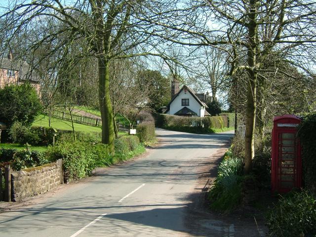
Whitmore, Staffordshire
Whitmore is a village and small curacy in the county of Staffordshire, England, near Newcastle-under-Lyme. The name Whitmore can be found in the Domesday...
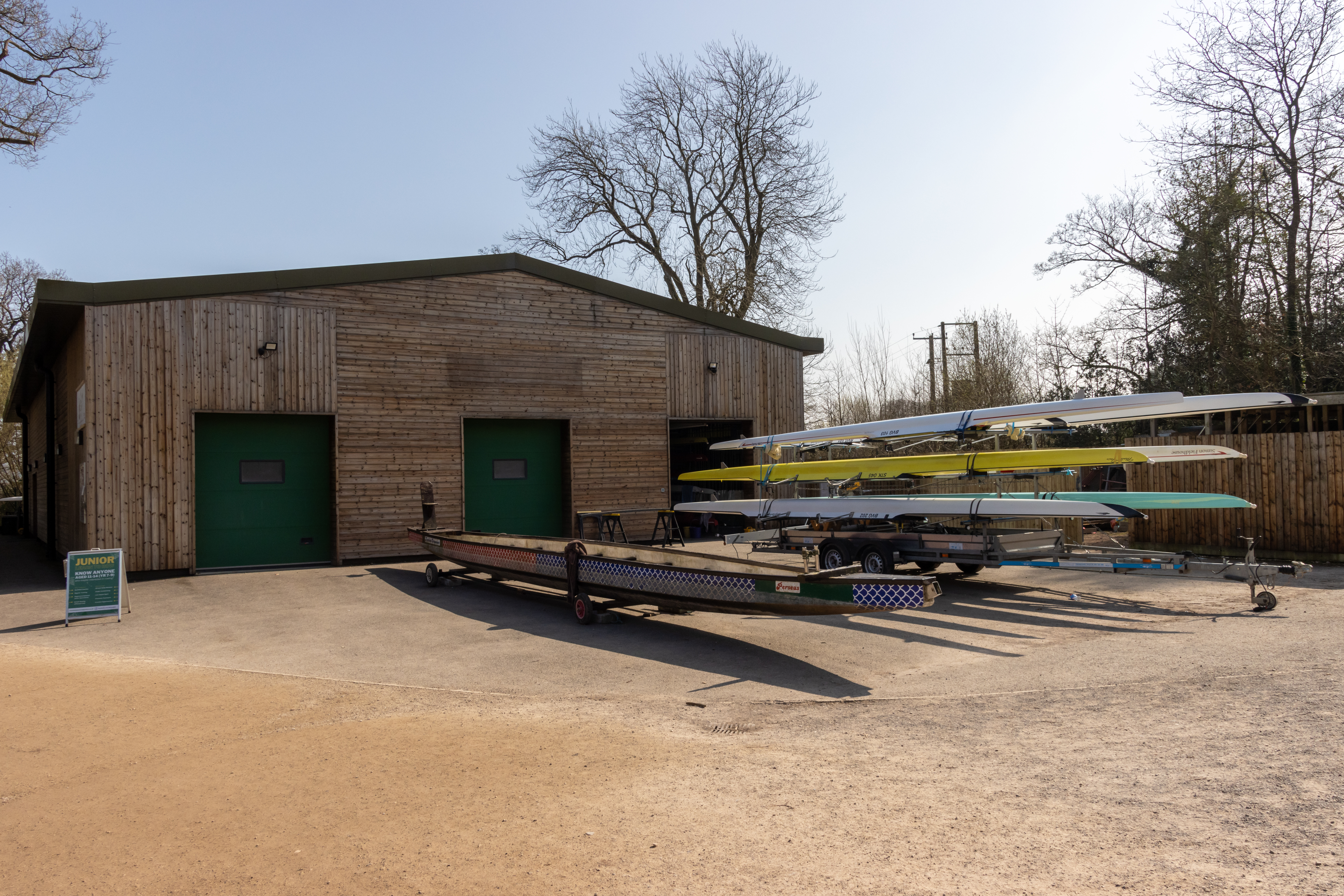
Trentham Boat Club
Trentham Boat Club is a rowing club based on Trentham Lake next to the River Trent, at Trentham Gardens Estate, Stone Road, Trentham, Stoke-on-Trent, Staffordshire...
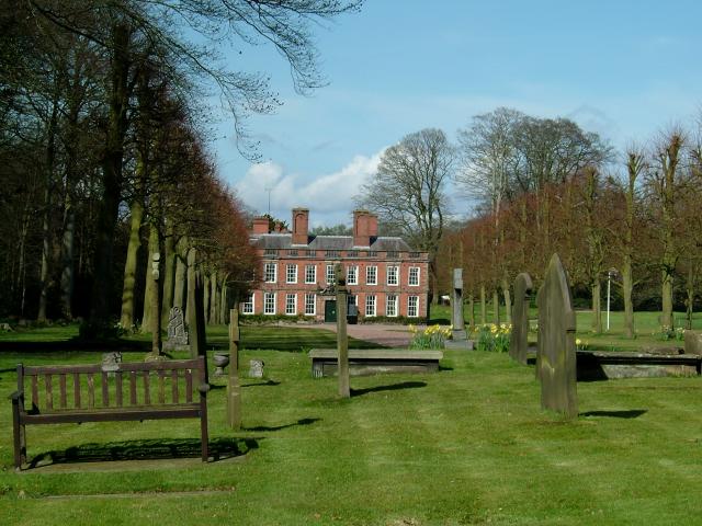
Whitmore Hall
Whitmore Hall is the home of the Cavenagh-Mainwaring family at Whitmore, Staffordshire. A Grade I listed building, the hall was designated a house of...
Trentham Gardens railway station
Trentham Gardens railway station (originally named Trentham Park) was the last station built by the North Staffordshire Railway (NSR) and was the terminus...

Clayton, Staffordshire
Clayton is a suburb and a ward in the Newcastle-under-Lyme district, in the county of Staffordshire, England. == Today == Clayton lies on the boundary...
Nearby Amenities
Located within 500m of 52.958075,-2.2394443Have you been to Hanchurch Hills Plantation?
Leave your review of Hanchurch Hills Plantation below (or comments, questions and feedback).