Aucombe Island Pond
Lake, Pool, Pond, Freshwater Marsh in Wiltshire
England
Aucombe Island Pond

Aucombe Island Pond is a small freshwater body located in the county of Wiltshire, England. Situated in the picturesque village of Aucombe, the pond is a prominent natural feature, attracting both locals and tourists alike. Covering an area of approximately 1.5 acres, it is classified as a pond due to its small size.
Surrounded by lush vegetation and tall reeds, Aucombe Island Pond offers a serene and tranquil environment for visitors. The pond is home to a diverse range of aquatic plants, including water lilies and reed beds, which provide a habitat for a variety of wildlife. Local bird species such as ducks, swans, and herons can often be spotted gliding gracefully on the water's surface or nesting in the surrounding trees.
The pond itself boasts crystal-clear freshwater, making it an ideal spot for fishing enthusiasts. Common fish species found in Aucombe Island Pond include roach, carp, and perch, providing ample opportunities for anglers to enjoy a day of fishing.
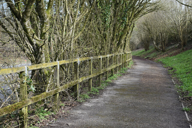
Visitors to Aucombe Island Pond can access the site via a footpath that winds its way through the nearby Aucombe Wood. The pond is also conveniently located near a picnic area, allowing visitors to relax and enjoy the peaceful surroundings while indulging in a packed lunch.
Overall, Aucombe Island Pond offers a peaceful retreat from the bustling city life, providing a natural haven for both wildlife and visitors seeking a moment of tranquility in the heart of Wiltshire.
If you have any feedback on the listing, please let us know in the comments section below.
Aucombe Island Pond Images
Images are sourced within 2km of 51.182617/-2.2267161 or Grid Reference ST8442. Thanks to Geograph Open Source API. All images are credited.


Aucombe Island Pond is located at Grid Ref: ST8442 (Lat: 51.182617, Lng: -2.2267161)
Unitary Authority: Wiltshire
Police Authority: Wiltshire
What 3 Words
///happening.chilled.scary. Near Warminster, Wiltshire
Nearby Locations
Related Wikis

Shearwater (lake)
Shearwater (or Shear Water) is a man-made freshwater lake near Crockerton village, about 2+1⁄4 miles (3.6 km) southwest of the town of Warminster in Wiltshire...
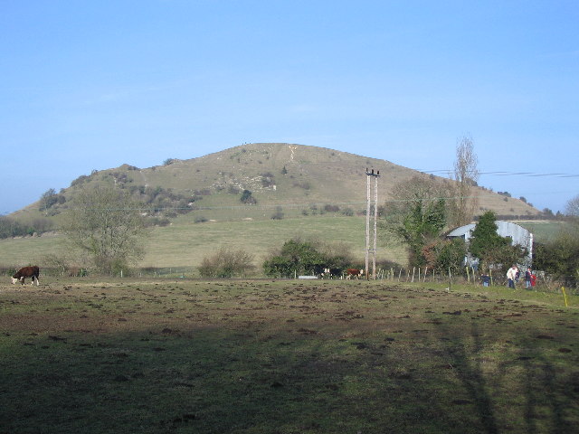
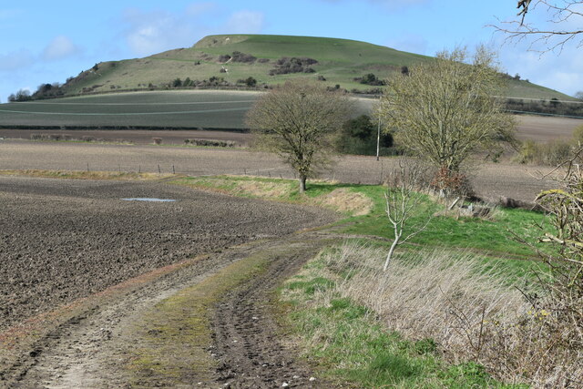
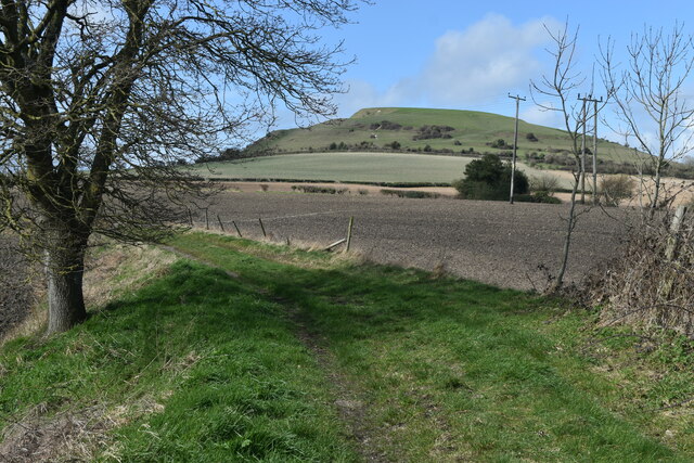
Cley Hill
Cley Hill (grid reference ST838449) is a prominent hill to the west of Warminster in Wiltshire, England. Its summit has a commanding view of the Wiltshire...
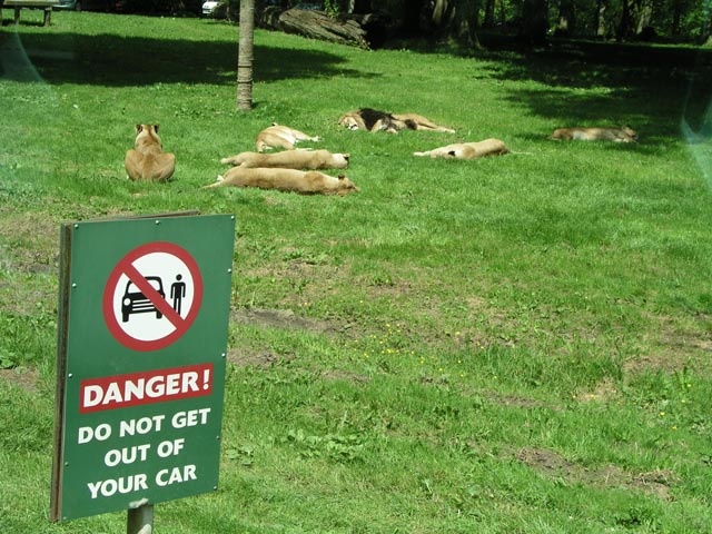
Longleat Safari and Adventure Park
Longleat Safari and Adventure Park in Wiltshire, England, was opened in 1966 as the world's first drive-through safari park outside Africa. == History... ==

Dunkerton Colliery Halt railway station
Dunkerton Colliery Halt railway station served the colliery near the village of Dunkerton, Somerset, England from 1911 to 1925 on the Bristol and North...

St Mary's Church, Temple, Corsley
The Church of St Mary at Temple, Corsley, Wiltshire, England is a chapel-of-ease dating from the very early 20th century. It was commissioned and paid...

Horningsham
Horningsham is a small village and civil parish in Wiltshire, England, on the county border with Somerset. The village lies about 4 miles (6 km) southwest...

Longleat
Longleat is a stately home about 4 miles (7 km) west of Warminster in Wiltshire, England. A leading and early example of the Elizabethan prodigy house...
Longleat Priory
Longleat Priory was a priory near Warminster, Wiltshire, in the south of England. A short-lived priory was established and dissolved near to Longleat in...
Nearby Amenities
Located within 500m of 51.182617,-2.2267161Have you been to Aucombe Island Pond?
Leave your review of Aucombe Island Pond below (or comments, questions and feedback).