Blackburn Pot
Lake, Pool, Pond, Freshwater Marsh in Aberdeenshire
Scotland
Blackburn Pot
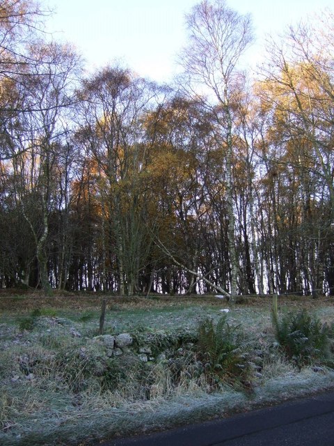
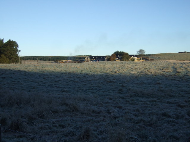
Blackburn Pot is a picturesque freshwater marsh located in Aberdeenshire, Scotland. This natural feature encompasses a combination of a lake, pool, pond, and marsh, creating a diverse and unique ecosystem. Spanning an area of approximately 10 acres, Blackburn Pot is a haven for various species of flora and fauna.
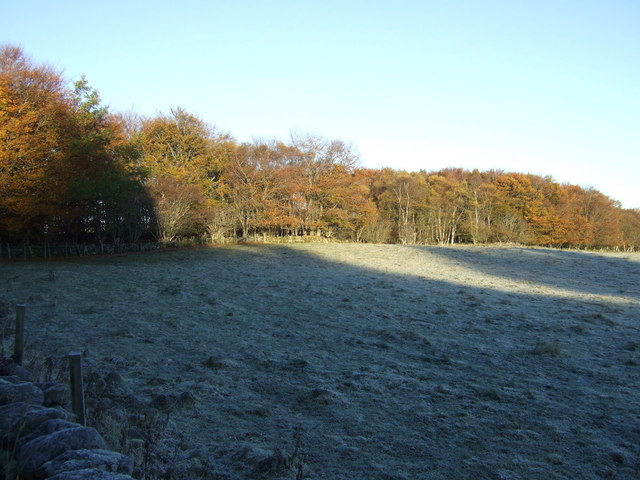
The marshland is characterized by its calm and still waters, which are fed by a nearby stream. The water is crystal clear and teeming with life, making it an ideal habitat for a wide range of aquatic plants and organisms. The marsh is surrounded by lush vegetation, including reeds, cattails, and water lilies, which add to its aesthetic appeal.
Blackburn Pot is home to a rich biodiversity. Fish such as trout and perch can be found swimming in its waters, while frogs and newts inhabit the marshy areas. Birds, including ducks and herons, are frequent visitors to the pot, attracted by the abundance of food sources. The marshland also supports a variety of insects, providing sustenance for the local bird population.
Visitors to Blackburn Pot can enjoy the tranquil and serene atmosphere as they take in the breathtaking views of the surrounding countryside. The area is a popular spot for nature enthusiasts, birdwatchers, and photographers, who can capture stunning images of the diverse wildlife and the reflections of the surrounding landscape in the calm waters.
Overall, Blackburn Pot in Aberdeenshire offers a fascinating glimpse into the wonders of nature, with its combination of a lake, pool, pond, and freshwater marsh, making it a truly remarkable place to explore and appreciate the beauty of the Scottish countryside.
If you have any feedback on the listing, please let us know in the comments section below.
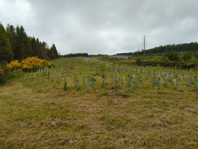
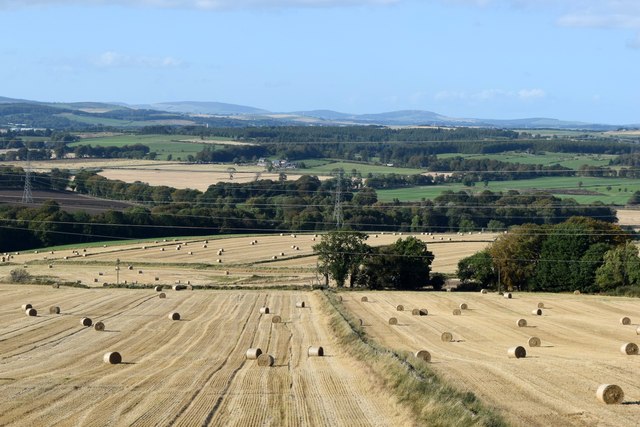
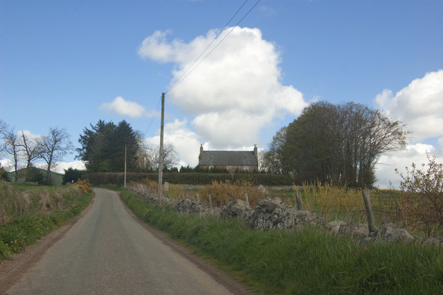
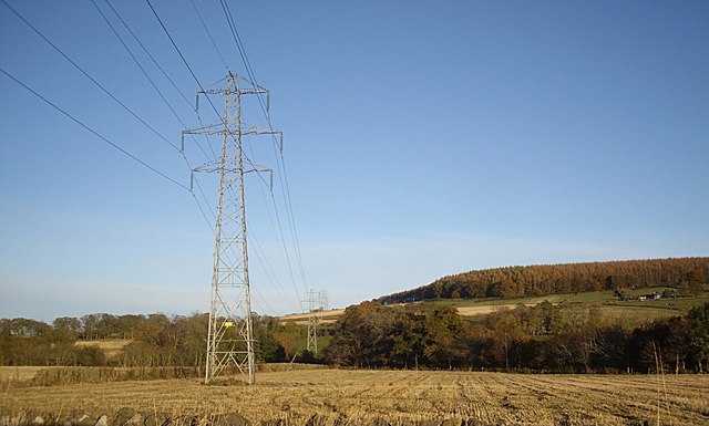
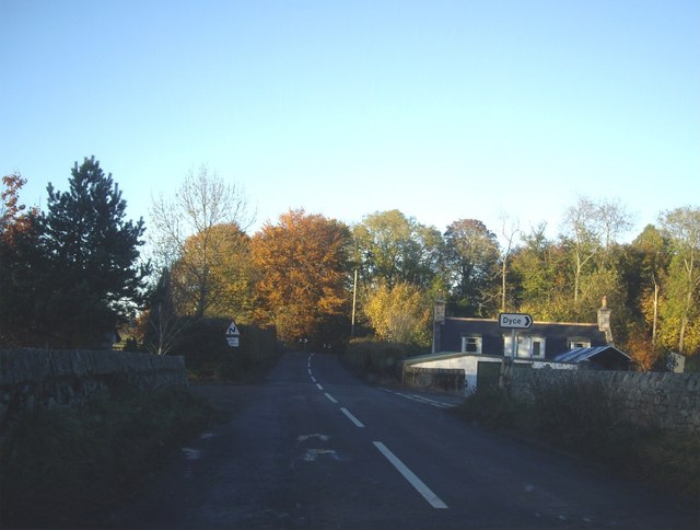
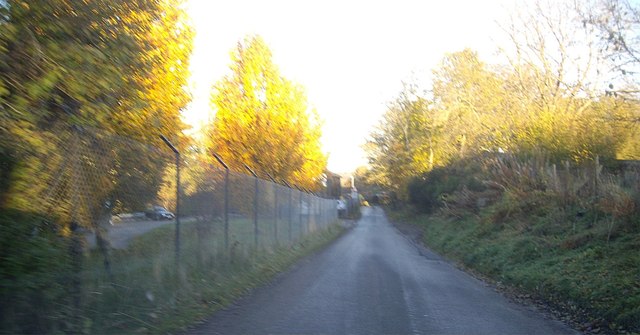
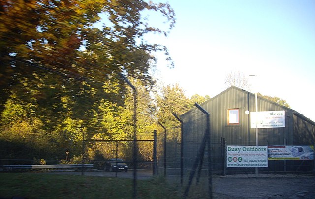
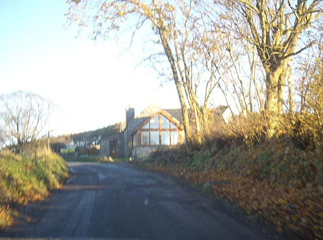
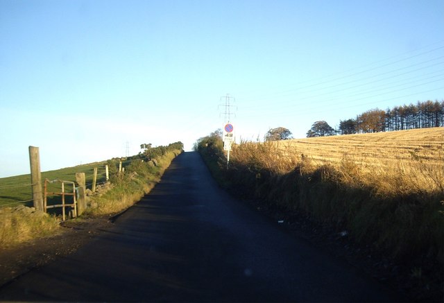
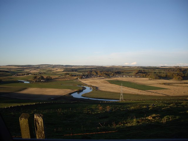
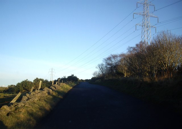
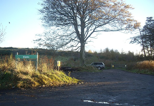
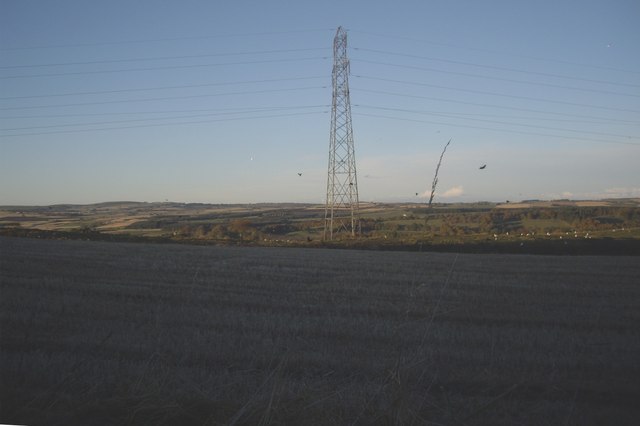
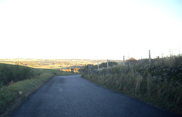
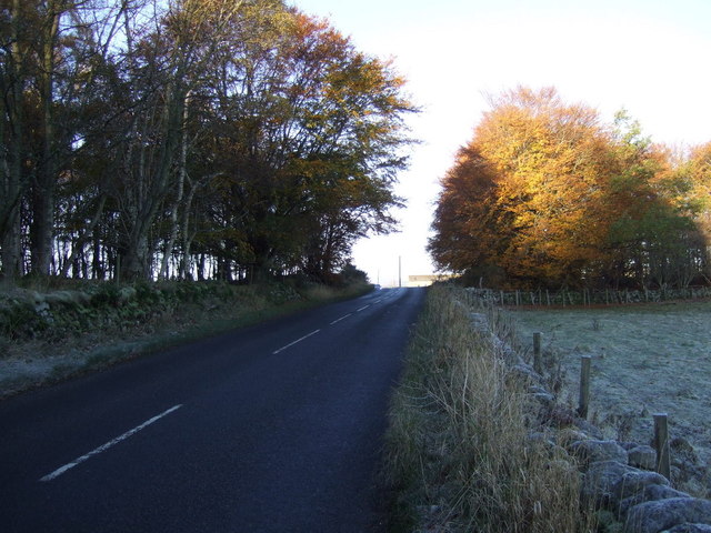
Blackburn Pot Images
Images are sourced within 2km of 57.234747/-2.2731645 or Grid Reference NJ8316. Thanks to Geograph Open Source API. All images are credited.
Blackburn Pot is located at Grid Ref: NJ8316 (Lat: 57.234747, Lng: -2.2731645)
Unitary Authority: Aberdeenshire
Police Authority: North East
What 3 Words
///junior.prevents.expel. Near Blackburn, Aberdeenshire
Nearby Locations
Related Wikis

Hatton of Fintray
Hatton of Fintray, commonly referred to as Fintray, is a village on the River Don in Aberdeenshire, Scotland, in the parish of Fintray. It was a textile...

Kinaldie railway station
Kinaldie railway station was a railway station in Kinaldie, Aberdeenshire. == History == The station was opened in November 1854 on the Great North of...

Fintray Hillclimb
Fintray House Hillclimb is a speed motorsport event held near Hatton of Fintray, in Aberdeenshire, Scotland. Each event is a separate round of the Scottish...

Pitmedden railway station
Pitmedden railway station was a railway station near Pitmedden House in Dyce, Aberdeen. == Previous services == == References == === Notes === === Sources... ===

Blackburn, Aberdeenshire
Blackburn is a rapidly growing village northwest of Aberdeen, Scotland, and is situated in Aberdeenshire. Local amenities include an industrial estate...

Balbithan House
Balbithan House ( bal-BITH-ən) is a three-storey L-plan keep dating from the 16th century. Alternative names are Old Place of Balbithan, Old Balbthan...
Dyce Work Camp
Dyce Work Camp was set up in August 1916 at quarries north-west of Aberdeen, Scotland, to accommodate conscientious objectors who had been in prison for...

Dyce stones
The Dyce stones are a collection of Pictish and Early Medieval sculptured stones that are housed in a shelter in the ruined St Fergus's Chapel, Dyce, Aberdeen...
Nearby Amenities
Located within 500m of 57.234747,-2.2731645Have you been to Blackburn Pot?
Leave your review of Blackburn Pot below (or comments, questions and feedback).