Mill of Fintray Pot
Lake, Pool, Pond, Freshwater Marsh in Aberdeenshire
Scotland
Mill of Fintray Pot
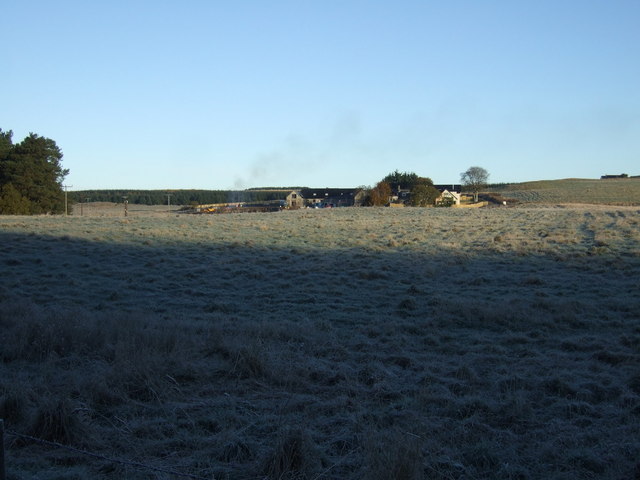
Mill of Fintray Pot is a picturesque freshwater marsh located in Aberdeenshire, Scotland. Nestled amidst rolling hills and verdant landscapes, it is a captivating natural feature that attracts both locals and tourists alike.
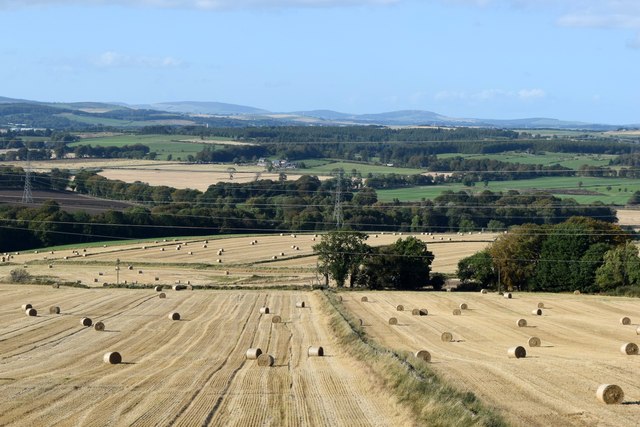
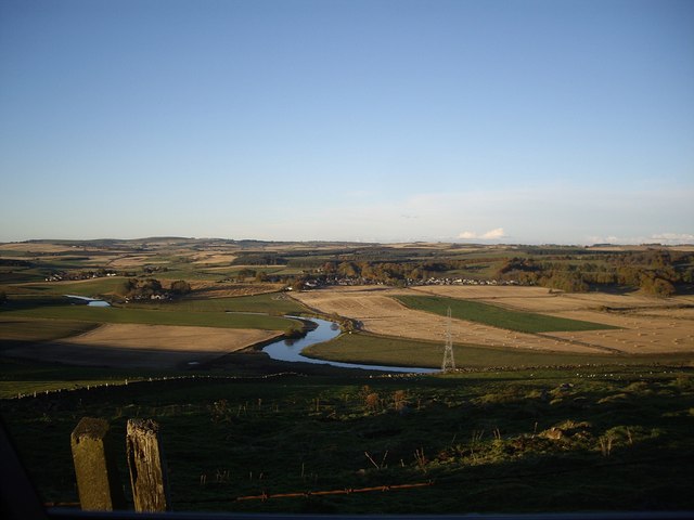
Covering an area of approximately 2 hectares, Mill of Fintray Pot is a diverse ecosystem comprising a lake, pool, pond, and freshwater marsh. The centerpiece of this enchanting site is the crystal-clear lake that spans over 1.5 hectares. The lake is surrounded by lush vegetation, including reeds, grasses, and water lilies, providing a haven for various species of birds, insects, and amphibians.
The pool and pond, with their tranquil and reflective surfaces, add to the ambiance of the area. These smaller bodies of water are teeming with life, supporting a rich biodiversity. Visitors can often spot dragonflies hovering above the water, while colorful wildflowers dot the banks.
The freshwater marsh at Mill of Fintray Pot acts as a vital habitat for numerous plant and animal species. Marsh marigolds, purple loosestrife, and common reeds thrive in the marsh, providing food and shelter for waterfowl, otters, and other wildlife.
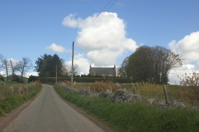
The site also features well-maintained walking trails that allow visitors to explore and appreciate the natural beauty of the area. The serene atmosphere and stunning scenery make it an ideal spot for nature lovers, birdwatchers, and photographers.
Mill of Fintray Pot, with its diverse aquatic habitats and abundant wildlife, offers a peaceful retreat from the hustle and bustle of everyday life, providing a unique opportunity to connect with nature in Aberdeenshire.
If you have any feedback on the listing, please let us know in the comments section below.
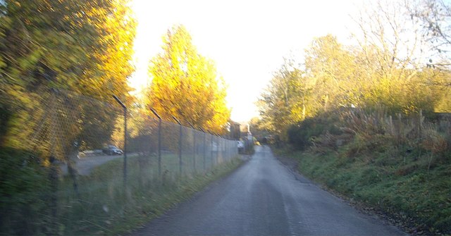
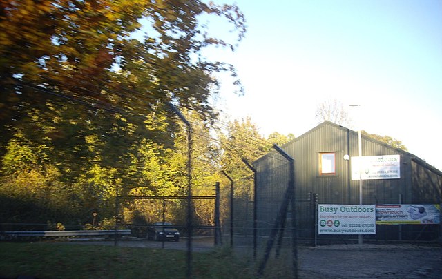
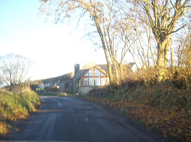
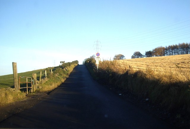
Mill of Fintray Pot Images
Images are sourced within 2km of 57.234655/-2.2823742 or Grid Reference NJ8316. Thanks to Geograph Open Source API. All images are credited.


Mill of Fintray Pot is located at Grid Ref: NJ8316 (Lat: 57.234655, Lng: -2.2823742)
Unitary Authority: Aberdeenshire
Police Authority: North East
What 3 Words
///slam.initiates.acute. Near Blackburn, Aberdeenshire
Nearby Locations
Related Wikis

Kinaldie railway station
Kinaldie railway station was a railway station in Kinaldie, Aberdeenshire. == History == The station was opened in November 1854 on the Great North of...

Hatton of Fintray
Hatton of Fintray, commonly referred to as Fintray, is a village on the River Don in Aberdeenshire, Scotland, in the parish of Fintray. It was a textile...

Fintray Hillclimb
Fintray House Hillclimb is a speed motorsport event held near Hatton of Fintray, in Aberdeenshire, Scotland. Each event is a separate round of the Scottish...

Blackburn, Aberdeenshire
Blackburn is a rapidly growing village northwest of Aberdeen, Scotland, and is situated in Aberdeenshire. Local amenities include an industrial estate...

Balbithan House
Balbithan House ( bal-BITH-ən) is a three-storey L-plan keep dating from the 16th century. Alternative names are Old Place of Balbithan, Old Balbthan...

Pitmedden railway station
Pitmedden railway station was a railway station near Pitmedden House in Dyce, Aberdeen. == Previous services == == References == === Notes === === Sources... ===
Kinellar
Kinellar is a small but ancient human settlement in Aberdeenshire between Kintore and Dyce just off the A96. It is said that the etymology appears to link...
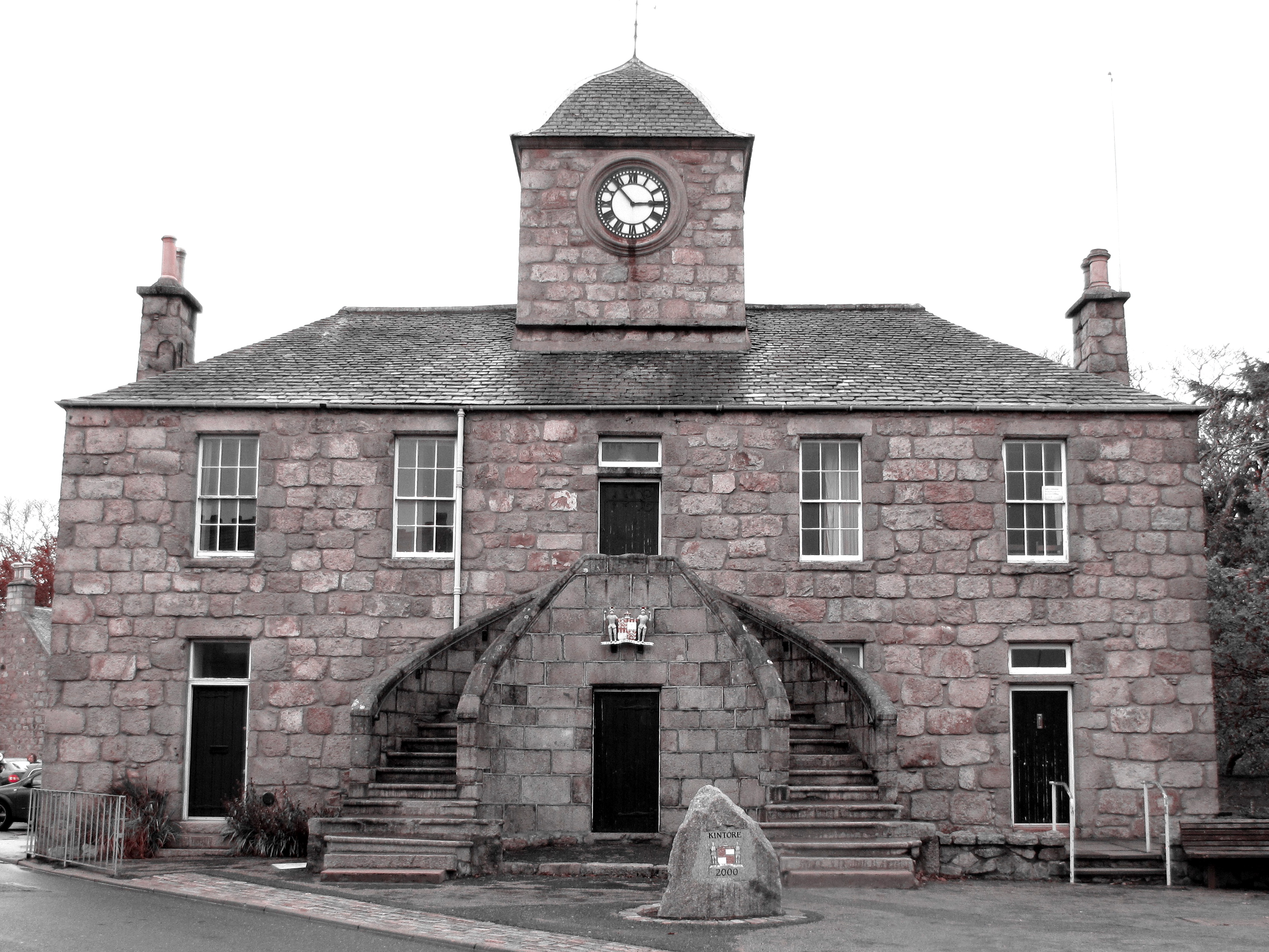
Kintore Town House
Kintore Town House is a municipal structure in The Square, Kintore, Aberdeenshire, Scotland. The structure, which is used as commercial offices, is a Category...
Nearby Amenities
Located within 500m of 57.234655,-2.2823742Have you been to Mill of Fintray Pot?
Leave your review of Mill of Fintray Pot below (or comments, questions and feedback).