Dirty Pool

Lake, Pool, Pond, Freshwater Marsh in Yorkshire

England

Dirty Pool

Lune Head Stone Circle
Lune Head Stone Circle Credit: Anthony Parkes

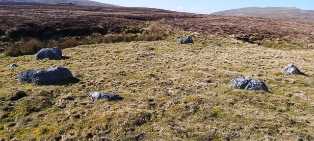
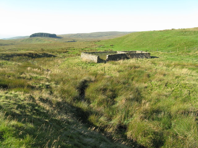
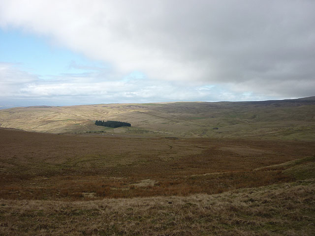
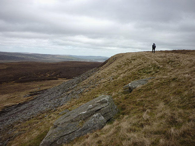
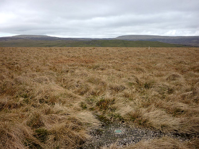
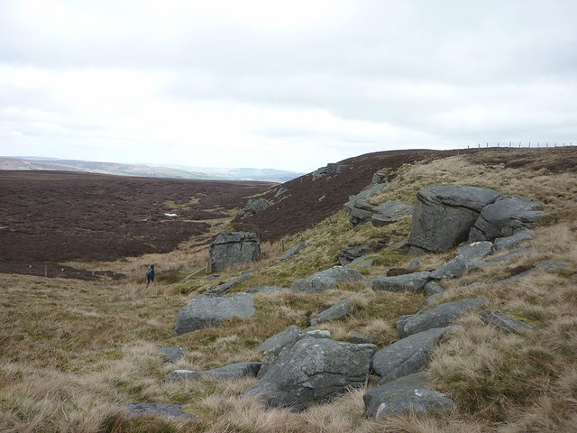
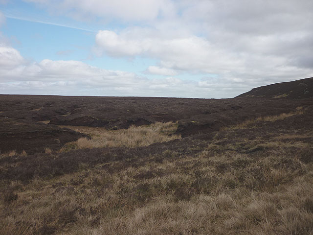
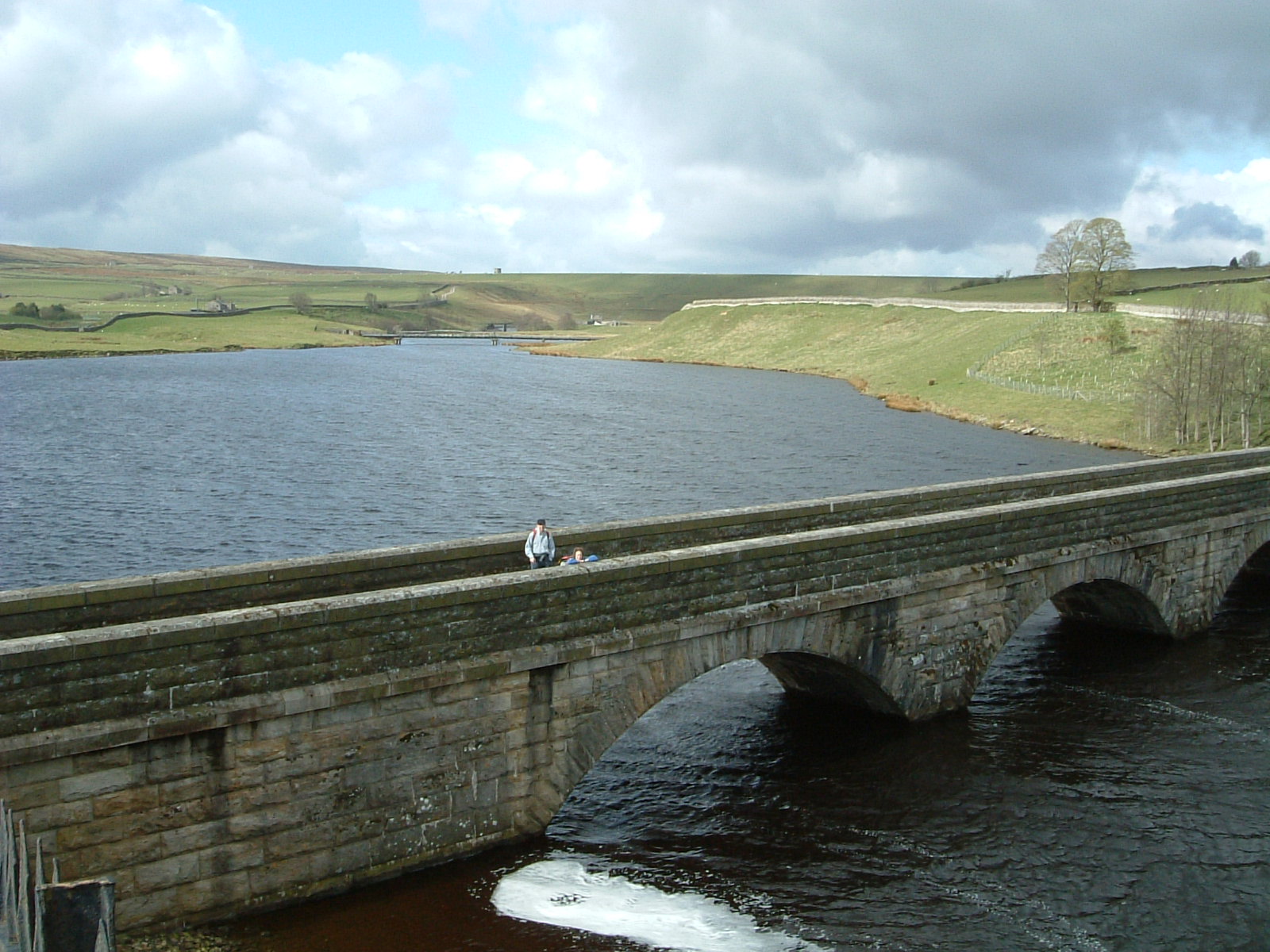
Dirty Pool is a small freshwater body located in Yorkshire, England. It is classified as a lake but is often referred to as a pool, pond, or freshwater marsh due to its relatively small size and surrounding vegetation. The pool covers an area of approximately 2 acres and has a depth ranging from 1 to 3 meters.

The water in Dirty Pool is characterized by its murky appearance, which is responsible for its name. This discoloration is caused by the high concentration of organic matter, such as decaying vegetation and algae, that is present in the pool. Despite its unappealing appearance, the water is considered safe for recreational activities such as fishing and boating.

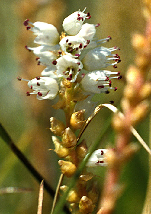
Surrounded by a diverse range of plant species, the pool serves as a habitat for various aquatic animals and birds. Common species found in Dirty Pool include waterfowl, such as ducks and geese, as well as freshwater fish like perch and roach. The pool also supports a variety of insects and invertebrates, providing a food source for the ecosystem.

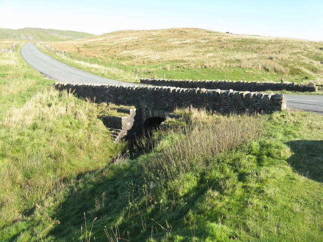
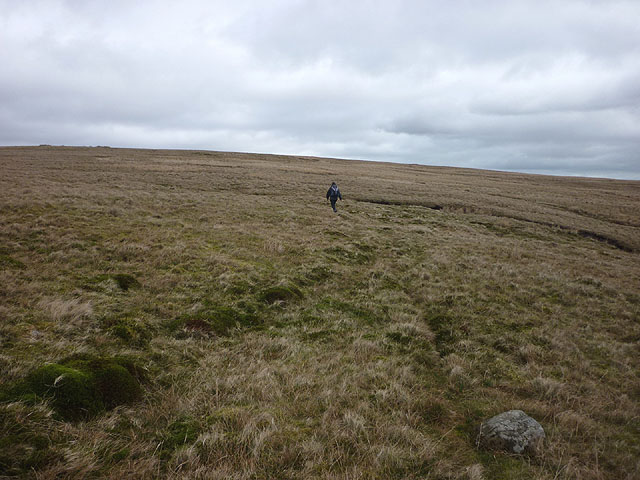
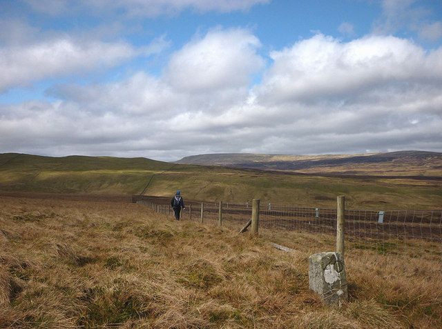
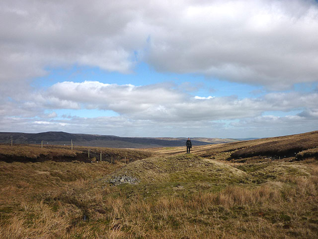
Visitors to Dirty Pool can enjoy the tranquil atmosphere and observe the local wildlife. The pool is accessible via a footpath that runs alongside it, providing an opportunity for nature walks and birdwatching. However, it is important to note that the pool is not equipped with any facilities or amenities, so visitors are advised to come prepared with their own supplies.

Overall, Dirty Pool offers a unique and natural experience for those seeking to explore the beauty of Yorkshire's freshwater ecosystems.

If you have any feedback on the listing, please let us know in the comments section below.

Dirty Pool Images

Images are sourced within 2km of 54.574345/-2.2579424 or Grid Reference NY8319. Thanks to Geograph Open Source API. All images are credited.

Lune Head Stone Circle
Old milestone A newer photo of the Brough 5 milestone on the B6276 towards Middleton in Teesdale just over the old border between Westmorland and North Yorkshire but now Cumbria and Co. Durham.  The stone is now leaning slightly forwards.   The worn legend reads 5 ML/(BROU)GH.   The abundance of white lichens shows how clear the air is on this hilly road.  The Brough and Middleton turnpike was operative from 1817 to 1873 and this stone will date from that period.
Old milestone
A newer photo of the Brough 5 milestone on the B6276 towards Middleton in Teesdale just over the old border between Westmorland and North Yorkshire but now Cumbria and Co. Durham. The stone is now leaning slightly forwards. The worn legend reads 5 ML/(BROU)GH. The abundance of white lichens shows how clear the air is on this hilly road. The Brough and Middleton turnpike was operative from 1817 to 1873 and this stone will date from that period.
Old milestone Travelling along the B6276 towards Middleton in Teesdale, empty moorland.   In the turnpike era no tarmacked surface but the route must have been important enough for trade across the hills.
Old milestone
Travelling along the B6276 towards Middleton in Teesdale, empty moorland. In the turnpike era no tarmacked surface but the route must have been important enough for trade across the hills.
Old Boundary Marker on Stainmore Common Estate Boundary Marker built into a drystone wall 375 metres northwest of the B6276. Inscribed 49. On the boundary of Stainmore parish, Westmorland, now Cumbria, and Lunedale parish, North Riding, now County Durham.

Milestone Society National ID: WE_CBDM049em
Old Boundary Marker on Stainmore Common
Estate Boundary Marker built into a drystone wall 375 metres northwest of the B6276. Inscribed 49. On the boundary of Stainmore parish, Westmorland, now Cumbria, and Lunedale parish, North Riding, now County Durham. Milestone Society National ID: WE_CBDM049em
Old Boundary Marker on Stoneshaw Rigg Estate Boundary Marker by a wire fence on Stoneshaw Rigg 55 metres southeast of Connypot Lumbs Beck between the B6276 and Mickle Fell. Inscribed 56. On the boundary of Stainmore parish, Westmorland, now Cumbria, and Lunedale parish, North Riding, now County Durham.

Milestone Society National ID: WE_CBDM056em
Old Boundary Marker on Stoneshaw Rigg
Estate Boundary Marker by a wire fence on Stoneshaw Rigg 55 metres southeast of Connypot Lumbs Beck between the B6276 and Mickle Fell. Inscribed 56. On the boundary of Stainmore parish, Westmorland, now Cumbria, and Lunedale parish, North Riding, now County Durham. Milestone Society National ID: WE_CBDM056em
Sheepfold beside Deadman Gill Deadman Gill is crossed by the B6276 as it descends westwards from its high level crossing of the Pennines. This sheepfold - Deadman Gill Fold - is passed there; it was 'renewed' by the artist Andy Goldsworthy as part of his Sheepfolds Project, 1996 - 2002.
Sheepfold beside Deadman Gill
Deadman Gill is crossed by the B6276 as it descends westwards from its high level crossing of the Pennines. This sheepfold - Deadman Gill Fold - is passed there; it was 'renewed' by the artist Andy Goldsworthy as part of his Sheepfolds Project, 1996 - 2002.
Sheepfold by Deadman Gill One of about 50 restored by the artist Andy Goldsworthy in the North Pennines area, as part of a Sheepfolds Project supported by local councils. See also <a href="https://www.geograph.org.uk/photo/2384565">NY8218 : Sheepfold beside Deadman Gill</a>.
Sheepfold by Deadman Gill
One of about 50 restored by the artist Andy Goldsworthy in the North Pennines area, as part of a Sheepfolds Project supported by local councils. See also NY8218 : Sheepfold beside Deadman Gill.
Bridge over Deadman Gill The bridge carries the B6276 Brough-Middleton-in-Teesdale road. The gill's source is in Shot Moss, to the right, and it flows into Swindale Beck, which goes into the River Eden near Brough.
Bridge over Deadman Gill
The bridge carries the B6276 Brough-Middleton-in-Teesdale road. The gill's source is in Shot Moss, to the right, and it flows into Swindale Beck, which goes into the River Eden near Brough.
The road to Middleton-in-Teesdale The B6276 at Deadman Gill Bridge, crossing Stainmore Common.
The road to Middleton-in-Teesdale
The B6276 at Deadman Gill Bridge, crossing Stainmore Common.
Hart Side Bleak moorland with only the plantation on Seavey Rigg drawing the eye.
Hart Side
Bleak moorland with only the plantation on Seavey Rigg drawing the eye.
West Dow Crag An escarpment with a scattering of gritstone boulders and scree at the eastern edge of Iron Band.
West Dow Crag
An escarpment with a scattering of gritstone boulders and scree at the eastern edge of Iron Band.
The curry stool trig mark on Iron Band We haven't seen one of these type of trig marks before but the OS say it's at 561.746m asl which is not the highest point on the hill (563m a little to the east). To the north west is Ley Seat (where we are heading later), overtopped by Little Fell (left) and Mickle Fell. The white stick is a marker for a grit tray for the grouse (it helps them digest their heather diet).
The curry stool trig mark on Iron Band
We haven't seen one of these type of trig marks before but the OS say it's at 561.746m asl which is not the highest point on the hill (563m a little to the east). To the north west is Ley Seat (where we are heading later), overtopped by Little Fell (left) and Mickle Fell. The white stick is a marker for a grit tray for the grouse (it helps them digest their heather diet).
Heading for Iron Band Fairly easy going over rough moorland grass on this side. In 2008 we abandoned an approach from the east due to deep heather and soft snow <a title="https://www.geograph.org.uk/photo/1312180" href="https://www.geograph.org.uk/photo/1312180">Link</a>
Heading for Iron Band
Fairly easy going over rough moorland grass on this side. In 2008 we abandoned an approach from the east due to deep heather and soft snow Link
Dow Crag A collection of gritstone boulders and outcrops possibly less impressive than its Lakeland namesake? The fence is the county boundary (Durham beyond, Cumbria this side)
Dow Crag
A collection of gritstone boulders and outcrops possibly less impressive than its Lakeland namesake? The fence is the county boundary (Durham beyond, Cumbria this side)
Moorland below Dow Crag Just inside County Durham!
Moorland below Dow Crag
Just inside County Durham!
The Cumbria Durham boundary Along the boundary there are regularly placed stones (this is number 40). We are just within Cumbria here (which has much less heather than County Durham) but will temporarily switch to the Durham side to ascend Ley Seat visible ahead. Above and beyond is Mickle Fell which is nowadays the highest point of County Durham but which used to reign supreme in Yorkshire (pre-1974 boundary changes when this would have been Westmorland and Yorkshire).
The Cumbria Durham boundary
Along the boundary there are regularly placed stones (this is number 40). We are just within Cumbria here (which has much less heather than County Durham) but will temporarily switch to the Durham side to ascend Ley Seat visible ahead. Above and beyond is Mickle Fell which is nowadays the highest point of County Durham but which used to reign supreme in Yorkshire (pre-1974 boundary changes when this would have been Westmorland and Yorkshire).
Boundary Shaft, Peaks Moss Sike There are many lead mine workings in this vicinity, mainly to the east in the headwaters of Lunedale. This is a fairly typical bell pit. I found some traces of galena (lead ore) in the spoil.
Boundary Shaft, Peaks Moss Sike
There are many lead mine workings in this vicinity, mainly to the east in the headwaters of Lunedale. This is a fairly typical bell pit. I found some traces of galena (lead ore) in the spoil.
A grit container for the grouse, Coalgill Sike A breeze block has been pressed into service to aid the digestive processes of the red grouse. looking towards Ley Seat.
A grit container for the grouse, Coalgill Sike
A breeze block has been pressed into service to aid the digestive processes of the red grouse. looking towards Ley Seat.
Show me another place!

Dirty Pool is located at Grid Ref: NY8319 (Lat: 54.574345, Lng: -2.2579424)

Division: North Riding

Unitary Authority: County Durham

Police Authority: Durham

What 3 Words

///iterative.metro.twist. Near Holwick, Co. Durham

Related Wikis

Lune Forest

Lune Forest is a Site of Special Scientific Interest covering an extensive area of moorland in the Teesdale district of west Durham, England. In the north...

Foster's Hush

Foster's Hush is a Site of Special Scientific Interest in the Teesdale district of west County Durham, England. It is located in the valley of Lune Head...

Close House Mine

Close House Mine is a Site of Special Scientific Interest in the Teesdale district of west County Durham, England. It is a working opencast mine located...

Grains o' th' Beck Meadows

Grains o' th' Beck Meadows is a Site of Special Scientific Interest in the Teesdale district of south-west County Durham, England. It consists of three...

Lunedale

Lunedale is the dale, or valley, of the River Lune, on the east side of the Pennines in England, west of Middleton-in-Teesdale. Its principal settlements...

A66 road

The A66 is a major road in Northern England, which in part follows the course of the Roman road from Scotch Corner to Penrith. It runs from east of Middlesbrough...

Stainmore

Stainmore is a remote geographic area in the Pennines on the border of Cumbria, County Durham and North Yorkshire. The name is used for a civil parish...

Mickle Fell

Mickle Fell is a mountain in the Pennines, the range of hills and moors running down the middle of Northern England. It has a maximum elevation of 788...

Nearby Amenities

Located within 500m of 54.574345,-2.2579424
Abandoned: yes
Man Made: mineshaft
Source: OS_OpenData_StreetView
Lat/Long: 54.5715026/-2.2557986
Barrier: cattle_grid
Lat/Long: 54.5743625/-2.2621421
Lay Seat Edge
Place: locality
Lat/Long: 54.5747235/-2.2619244
Abandoned: yes
Man Made: mineshaft
Source: OS_OpenData_StreetView
Lat/Long: 54.5708675/-2.256895
The data included in this document is from www.openstreetmap.org. The data is made available under ODbL.

Have you been to Dirty Pool?

Leave your review of Dirty Pool below (or comments, questions and feedback).