Rush Pool Pond
Lake, Pool, Pond, Freshwater Marsh in Wiltshire
England
Rush Pool Pond

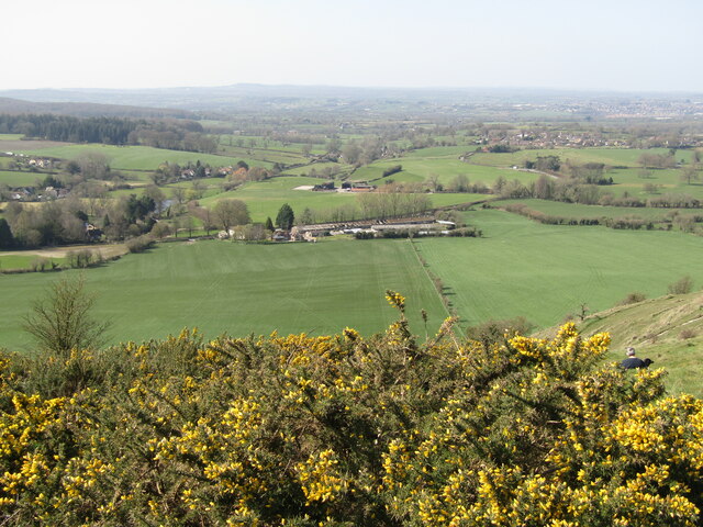
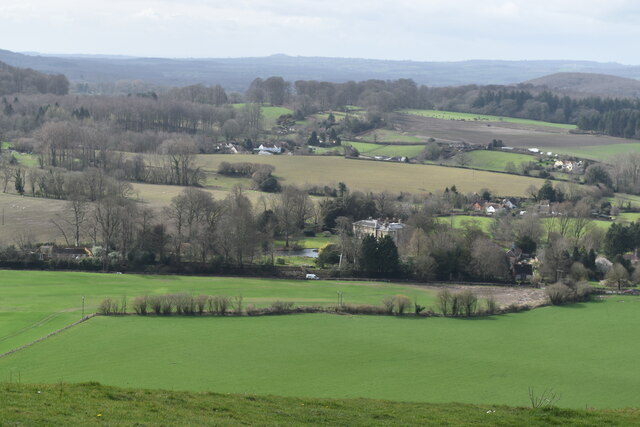
Rush Pool Pond is a picturesque freshwater marsh located in the county of Wiltshire, England. It is nestled within the idyllic countryside, surrounded by lush greenery and rolling hills. The pond covers an area of approximately 2 acres, making it a relatively small body of water.
The pond is known for its calm and tranquil atmosphere, attracting visitors who seek a peaceful retreat in nature. Its crystal-clear waters are home to a diverse range of aquatic flora and fauna, including various species of fish, frogs, and water birds. The pond provides a vital habitat for these creatures, offering shelter and sustenance.
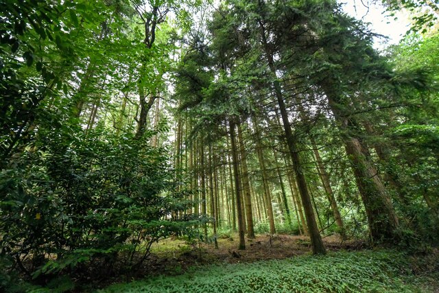
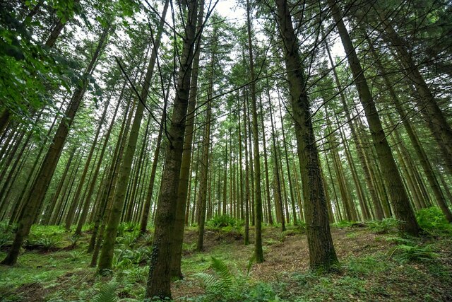
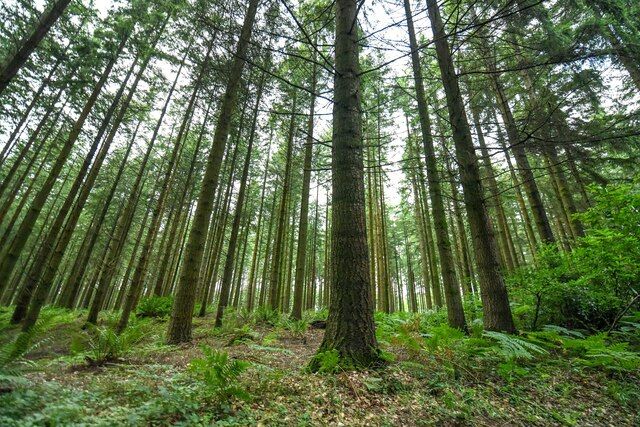
Surrounding the pond is a dense growth of rushes, which give the pond its name. These tall grass-like plants create a natural boundary between the water and the surrounding land, adding to the pond's beauty and ecological significance. The rushes also serve as nesting sites for birds, enhancing the overall biodiversity of the area.
Visitors to Rush Pool Pond can enjoy a leisurely stroll along its banks, taking in the serene surroundings and observing the wildlife. The pond is also a popular spot for fishing enthusiasts, who can try their luck at catching some of the resident fish species.
Overall, Rush Pool Pond is a charming and ecologically important freshwater marsh, offering a serene and immersive experience for nature lovers and outdoor enthusiasts alike.
If you have any feedback on the listing, please let us know in the comments section below.
Rush Pool Pond Images
Images are sourced within 2km of 51.196844/-2.2605323 or Grid Reference ST8144. Thanks to Geograph Open Source API. All images are credited.


Rush Pool Pond is located at Grid Ref: ST8144 (Lat: 51.196844, Lng: -2.2605323)
Unitary Authority: Wiltshire
Police Authority: Wiltshire
What 3 Words
///buzzards.enjoy.pushed. Near Corsley, Wiltshire
Nearby Locations
Related Wikis

Dunkerton Colliery Halt railway station
Dunkerton Colliery Halt railway station served the colliery near the village of Dunkerton, Somerset, England from 1911 to 1925 on the Bristol and North...
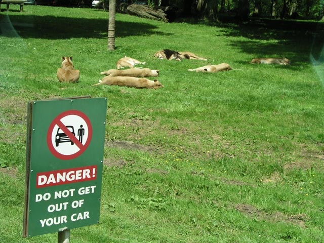
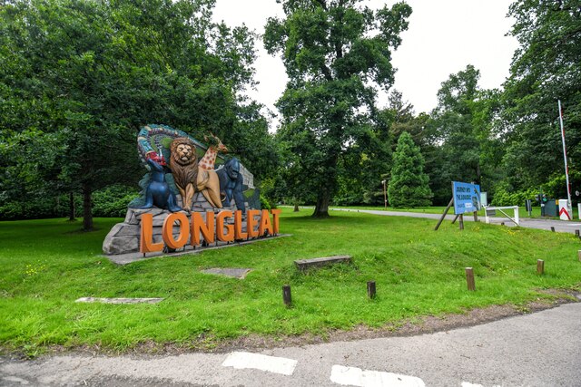
Longleat Safari and Adventure Park
Longleat Safari and Adventure Park in Wiltshire, England, was opened in 1966 as the world's first drive-through safari park outside Africa. == History... ==

St Mary's Church, Temple, Corsley
The Church of St Mary at Temple, Corsley, Wiltshire, England is a chapel-of-ease dating from the very early 20th century. It was commissioned and paid...

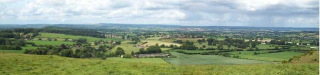
Longleat
Longleat is a stately home about 4 miles (7 km) west of Warminster in Wiltshire, England. A leading and early example of the Elizabethan prodigy house...
Nearby Amenities
Located within 500m of 51.196844,-2.2605323Have you been to Rush Pool Pond?
Leave your review of Rush Pool Pond below (or comments, questions and feedback).