Temple Common
Wood, Forest in Wiltshire
England
Temple Common

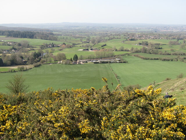
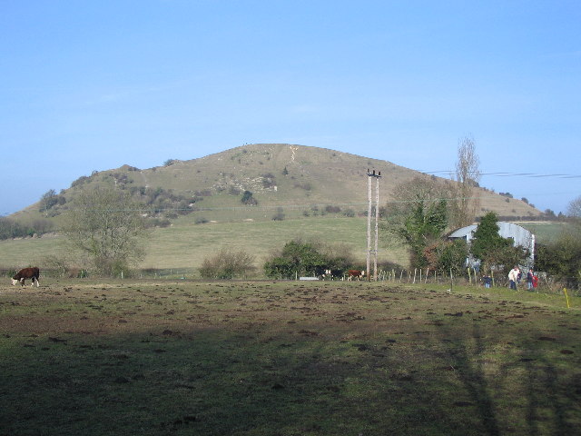
Temple Common is a picturesque woodland area located in Wiltshire, England. Covering an expansive area, it is a popular destination for nature enthusiasts, hikers, and families seeking outdoor activities. The common is characterized by its dense forestation, creating a serene and tranquil atmosphere for visitors to immerse themselves in.
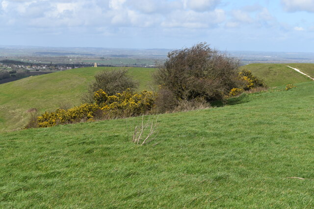
The woodland is home to a diverse range of plant and animal species, making it an important ecological site. Ancient oak trees dominate the landscape, their gnarled branches stretching towards the sky, providing a shaded canopy for the forest floor below. Bluebells carpet the ground during the spring months, creating a beautiful sea of vibrant colors.
A network of well-maintained trails winds through Temple Common, offering visitors the opportunity to explore the area on foot or by bicycle. These paths meander through enchanting glades, over babbling brooks, and past hidden ponds. Along the way, visitors may encounter wildlife such as deer, rabbits, and a variety of bird species.
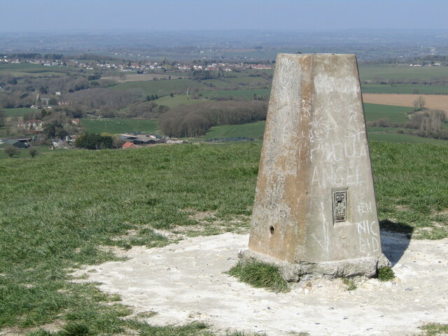
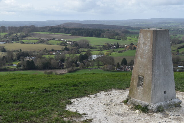
Temple Common holds historical significance as well. The area is believed to have been part of the medieval hunting grounds for the Knights Templar, a religious military order. The remnants of their ancient temple and other structures can still be seen, adding an intriguing layer of history to the natural beauty of the common.
Overall, Temple Common in Wiltshire provides a captivating escape from the hustle and bustle of everyday life. With its breathtaking woodland scenery, diverse wildlife, and historical heritage, it offers visitors a unique and memorable experience in nature.
If you have any feedback on the listing, please let us know in the comments section below.
Temple Common Images
Images are sourced within 2km of 51.201522/-2.259471 or Grid Reference ST8144. Thanks to Geograph Open Source API. All images are credited.


Temple Common is located at Grid Ref: ST8144 (Lat: 51.201522, Lng: -2.259471)
Unitary Authority: Wiltshire
Police Authority: Wiltshire
What 3 Words
///frosted.leaves.surveyors. Near Corsley, Wiltshire
Nearby Locations
Related Wikis

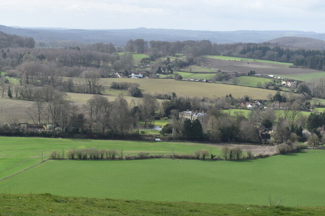
St Mary's Church, Temple, Corsley
The Church of St Mary at Temple, Corsley, Wiltshire, England is a chapel-of-ease dating from the very early 20th century. It was commissioned and paid...

Dunkerton Colliery Halt railway station
Dunkerton Colliery Halt railway station served the colliery near the village of Dunkerton, Somerset, England from 1911 to 1925 on the Bristol and North...
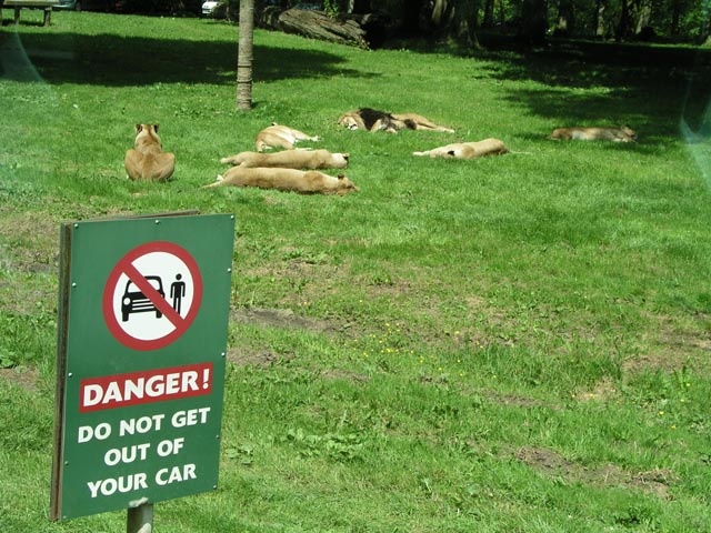
Longleat Safari and Adventure Park
Longleat Safari and Adventure Park in Wiltshire, England, was opened in 1966 as the world's first drive-through safari park outside Africa. == History... ==
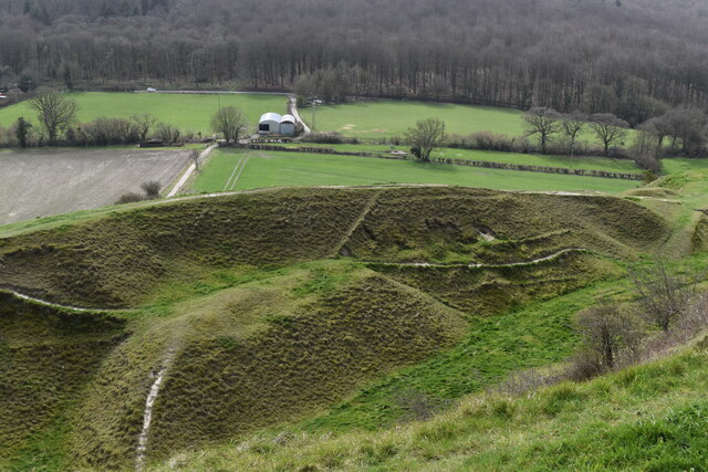
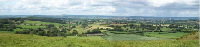
Cley Hill
Cley Hill (grid reference ST838449) is a prominent hill to the west of Warminster in Wiltshire, England. Its summit has a commanding view of the Wiltshire...
Nearby Amenities
Located within 500m of 51.201522,-2.259471Have you been to Temple Common?
Leave your review of Temple Common below (or comments, questions and feedback).