South Bay
Lake, Pool, Pond, Freshwater Marsh in Lancashire
England
South Bay

South Bay in Lancashire is a picturesque area located in the northwestern region of England. It is renowned for its stunning natural features, including a lake, pool, pond, and freshwater marsh. The area is a haven for nature enthusiasts and offers a diverse range of habitats for a variety of flora and fauna.
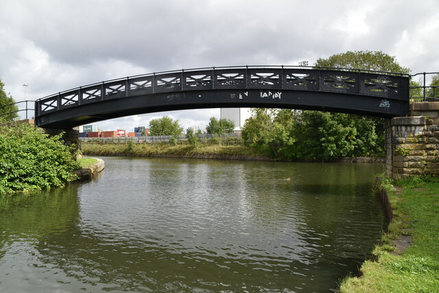
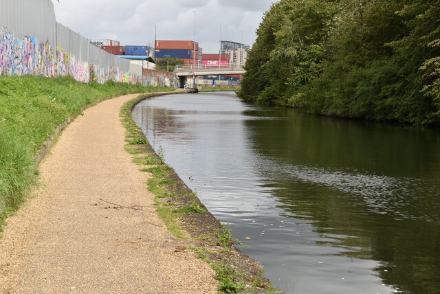
The centerpiece of South Bay is the lake, which spans a considerable area and is surrounded by lush greenery. The lake is known for its calm and tranquil waters, making it an ideal spot for boating and fishing activities. Its crystal-clear waters are home to various fish species, providing ample opportunities for anglers.
Adjacent to the lake, there is a pool that showcases a different ecosystem. The pool is smaller in size but equally captivating, with its shallow waters supporting a vibrant array of aquatic plants and small animals. It is a popular spot for birdwatching, as numerous avian species visit the area, especially during the migration seasons.
South Bay also boasts a charming pond, which is nestled amidst the verdant landscape. The pond is teeming with life, hosting a plethora of amphibians, including frogs and newts. The serene ambiance of the pond makes it an ideal spot for a leisurely stroll and a perfect place to relax.
Lastly, the freshwater marsh in South Bay is a wetland area that acts as a natural filter, purifying the water in the region. The marsh is characterized by its dense vegetation, including reeds and water lilies, which provide a habitat for various water-dwelling creatures.
Overall, South Bay in Lancashire offers a diverse and enchanting natural setting, with its lake, pool, pond, and freshwater marsh. It is a place where visitors can immerse themselves in the beauty of nature and enjoy a range of recreational activities.
If you have any feedback on the listing, please let us know in the comments section below.
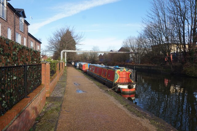
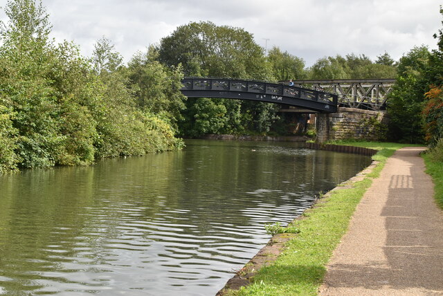
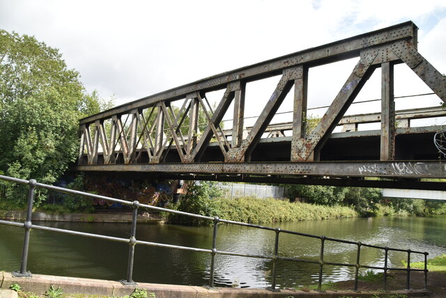
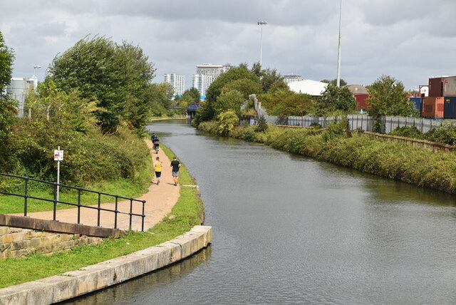
South Bay Images
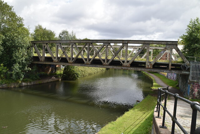
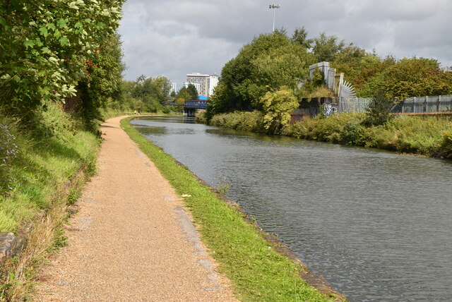
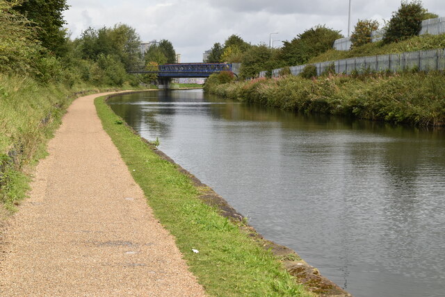
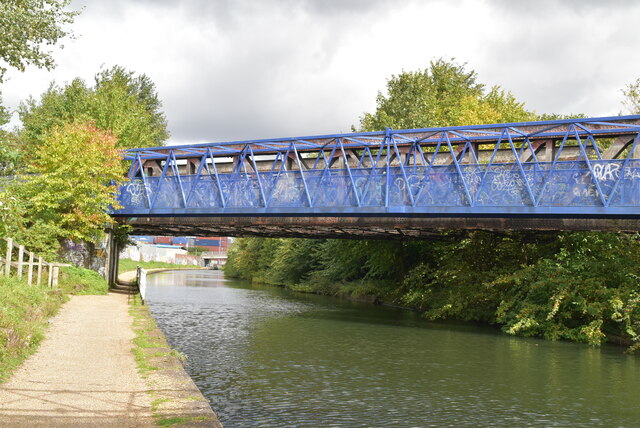
Images are sourced within 2km of 53.468089/-2.2864451 or Grid Reference SJ8196. Thanks to Geograph Open Source API. All images are credited.


South Bay is located at Grid Ref: SJ8196 (Lat: 53.468089, Lng: -2.2864451)
Unitary Authority: Salford
Police Authority: Greater Manchester
What 3 Words
///stack.wooden.dinner. Near Trafford Park, Manchester
Nearby Locations
Related Wikis
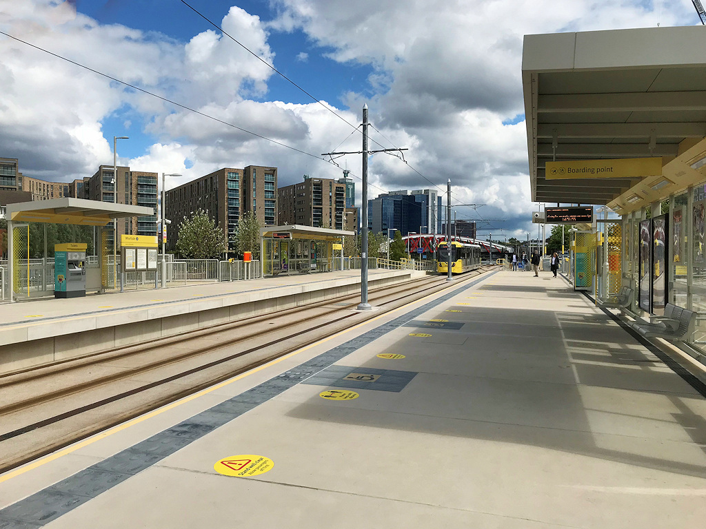
Wharfside tram stop
Wharfside is a Metrolink tram stop on the Trafford Park Line of Manchester's light rail network. It is located on Trafford Wharf Road, next to the Manchester...

Real Radio XS
Real Radio XS was a radio station brand operated by Real and Smooth Ltd (formerly GMG Radio) based in Salford, Greater Manchester, broadcasting a variety...
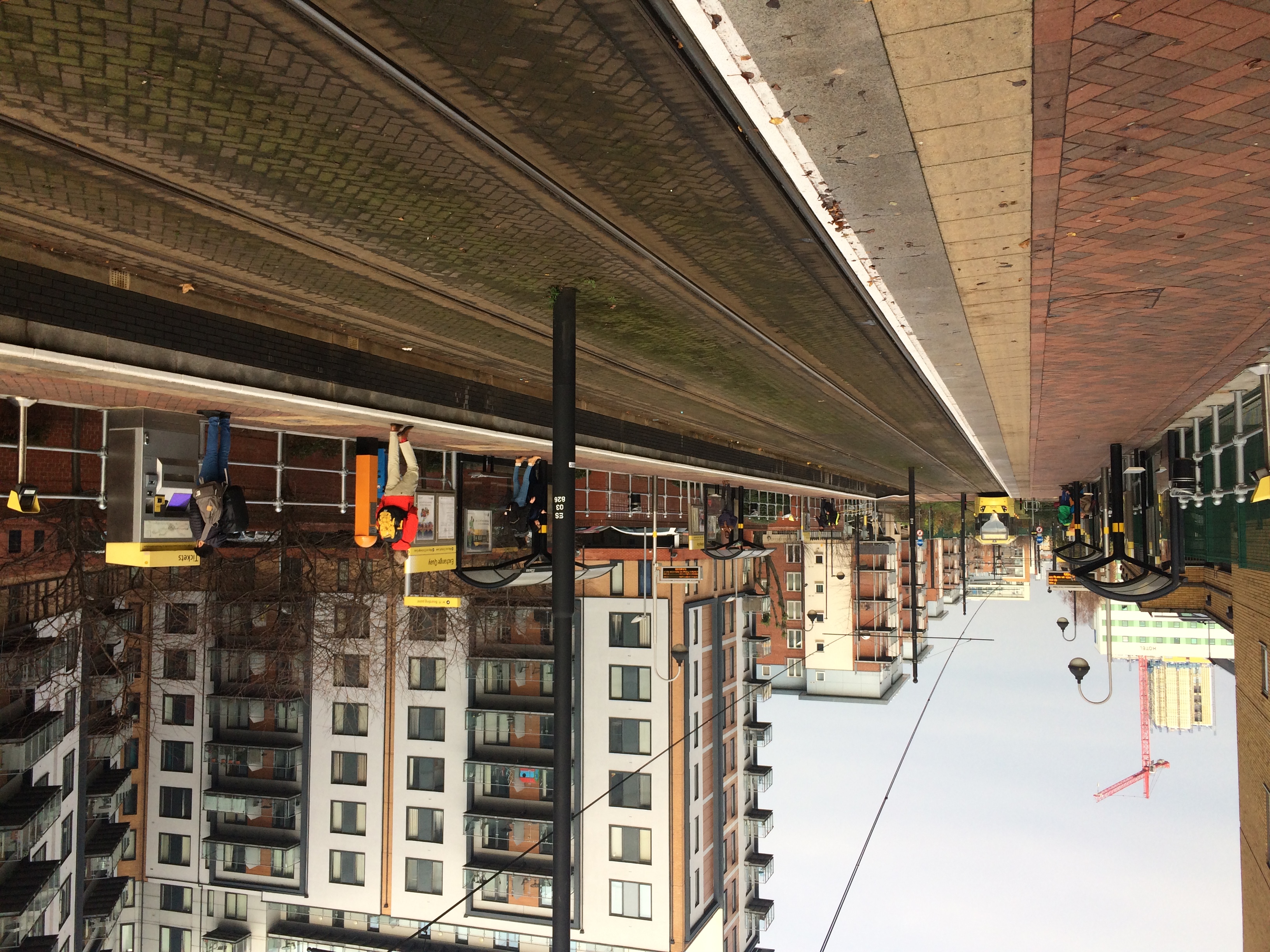
Exchange Quay tram stop
Exchange Quay is a tram stop on the Eccles Line of Greater Manchester's light rail Metrolink system. It is located in the Salford Quays area, in North...
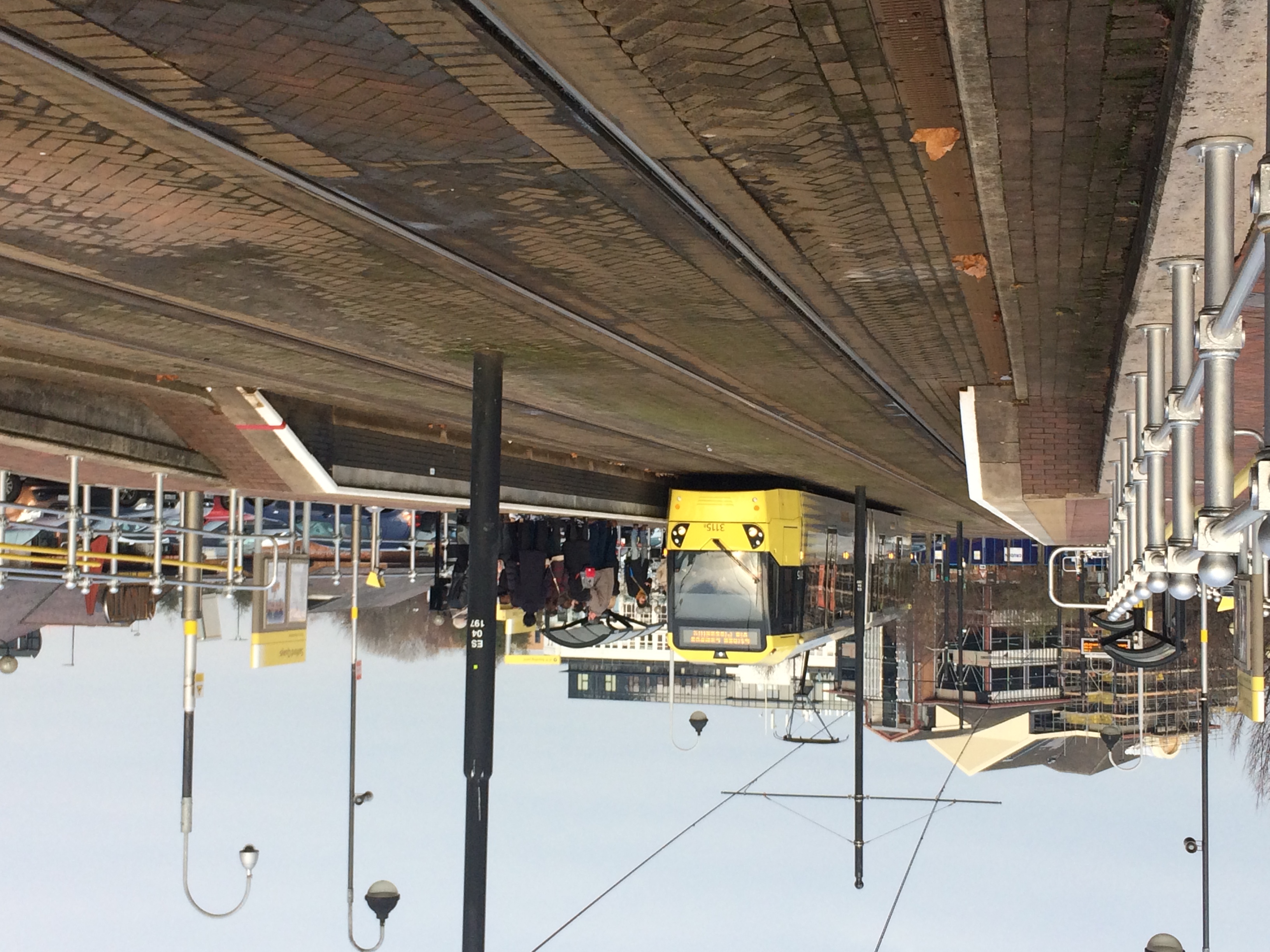
Salford Quays tram stop
Salford Quays tram stop is a stop on Greater Manchester's light rail Metrolink system. It is located beside Salford Quays, on Metrolink's Eccles Line....
Nearby Amenities
Located within 500m of 53.468089,-2.2864451Have you been to South Bay?
Leave your review of South Bay below (or comments, questions and feedback).