Round Knowe
Lake, Pool, Pond, Freshwater Marsh in Berwickshire
England
Round Knowe
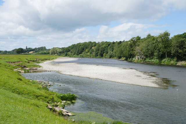
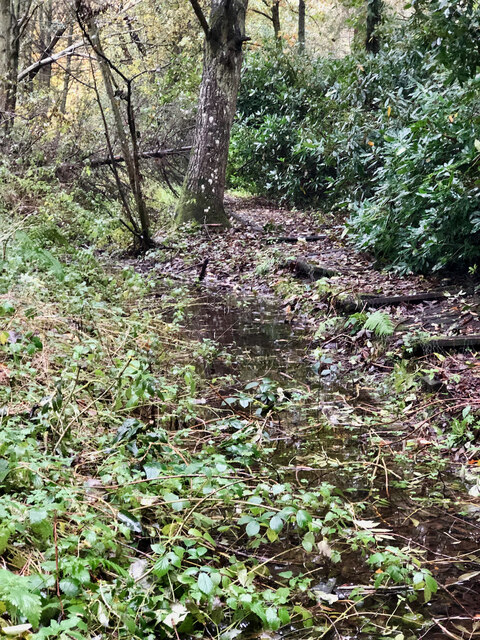
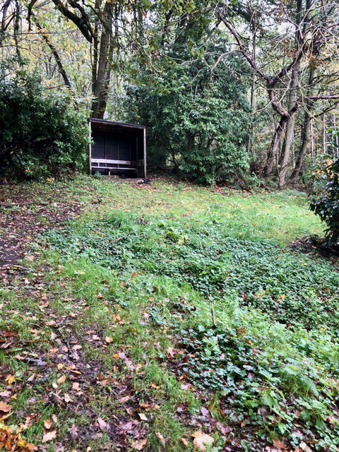
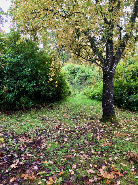
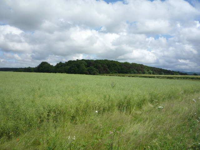
Round Knowe is a picturesque freshwater marsh located in the county of Berwickshire, Scotland. Covering an area of approximately 5 acres, it is a significant natural feature that attracts both locals and tourists alike.
The marsh is situated within a tranquil and idyllic setting, surrounded by lush greenery and rolling hills. Its main attraction is a small but beautiful lake, nestled in the heart of the marsh. The lake itself is approximately 200 meters in circumference and boasts crystal-clear freshwater that reflects the surrounding landscape, creating a stunning visual effect.
In addition to the lake, Round Knowe also features various pools and ponds. These smaller bodies of water are interconnected and provide a diverse habitat for a wide range of flora and fauna. Visitors can observe numerous aquatic plants such as water lilies and reeds, which thrive in the marsh's nutrient-rich environment. The ponds are also home to various species of fish, including trout and perch, making it a popular spot for anglers.
The marshland surrounding the lake and ponds is characterized by its unique biodiversity. It supports an array of wetland plant species, including marsh marigold, common reed, and marsh cinquefoil. These plants attract a variety of bird species, such as ducks, moorhens, and herons, which can be spotted wading in the shallow waters or perched on the surrounding vegetation.
Overall, Round Knowe offers a peaceful retreat for nature enthusiasts, providing an opportunity to witness the beauty of a freshwater marsh ecosystem in the heart of Berwickshire.
If you have any feedback on the listing, please let us know in the comments section below.
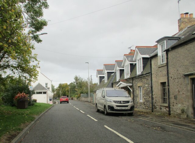
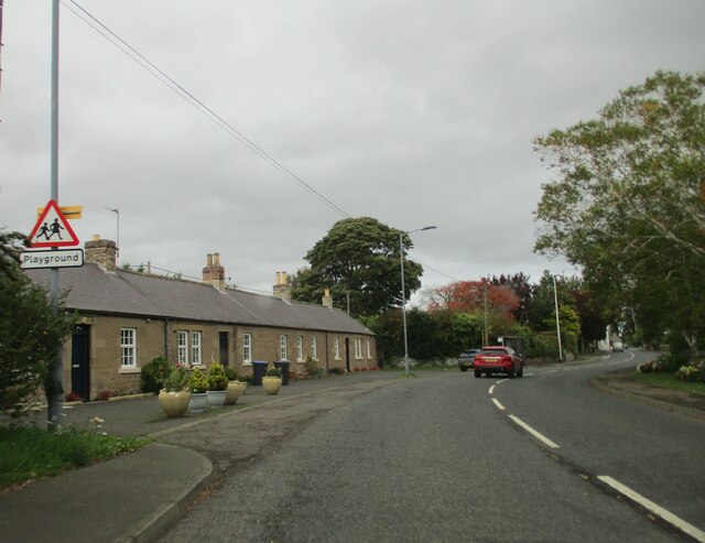
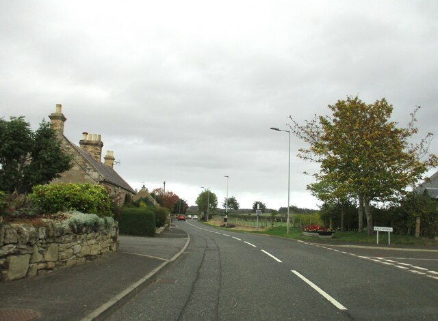
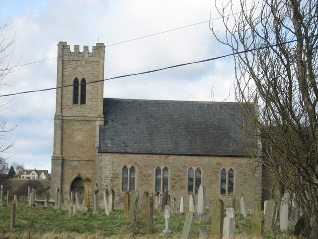
Round Knowe Images
Images are sourced within 2km of 55.646711/-2.3080896 or Grid Reference NT8039. Thanks to Geograph Open Source API. All images are credited.


Round Knowe is located at Grid Ref: NT8039 (Lat: 55.646711, Lng: -2.3080896)
Unitary Authority: Northumberland
Police Authority: Northumbria
What 3 Words
///woof.says.daunted. Near Coldstream, Scottish Borders
Nearby Locations
Related Wikis

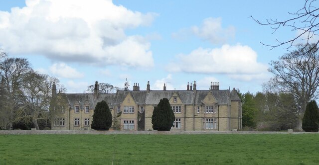
Carham Hall
Carham Hall is a grade II listed building near Carham in Northumberland, England. The site, on the Scottish border, was previously occupied by a medieval...
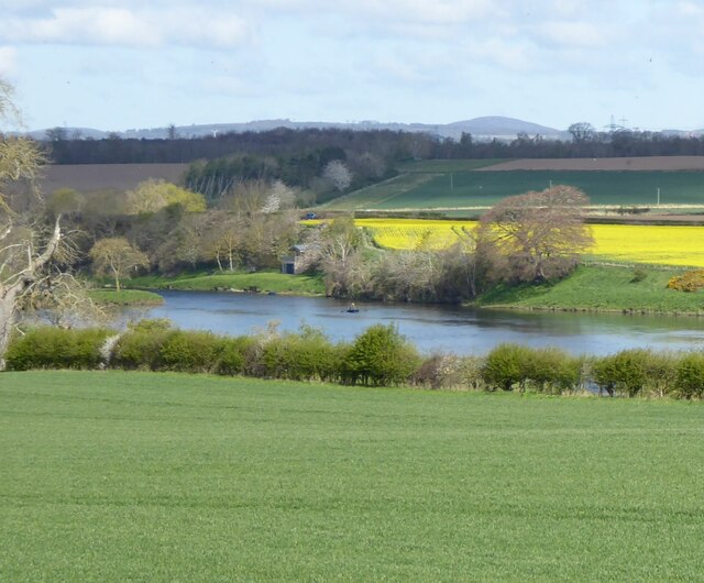
Carham
Carham or Carham on Tweed is a village in Northumberland, England. The village lies on the south side of the River Tweed about 3 miles (5 km) west of Coldstream...

Battle of Carham
The Battle of Carham was fought between the English ruler of Bamburgh and the king of Scotland in alliance with the Cumbrians. The encounter took place...

Birgham
Birgham is a village in Berwickshire, parish of Eccles in the Scottish Borders area of Scotland, near Coldstream and the River Tweed, on the A698....
Nearby Amenities
Located within 500m of 55.646711,-2.3080896Have you been to Round Knowe?
Leave your review of Round Knowe below (or comments, questions and feedback).