Wealth Hole
Lake, Pool, Pond, Freshwater Marsh in Northumberland
England
Wealth Hole
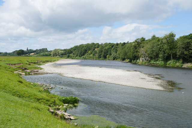
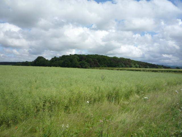
Wealth Hole is a picturesque freshwater marsh located in Northumberland, England. Spread across an area of approximately 10 acres, it is known for its serene beauty and diverse ecosystem. This enchanting marsh is situated near the village of Belsay, offering a tranquil escape for nature enthusiasts and birdwatchers.
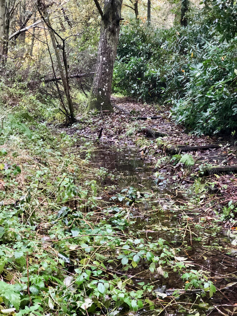
The main feature of Wealth Hole is the stunning lake, which stretches over half of the marsh area. The lake is surrounded by lush vegetation and is home to a variety of aquatic plants such as water lilies and reeds. The crystal-clear water provides a habitat for numerous species of fish, amphibians, and invertebrates.
Adjacent to the lake, there is a smaller pool that acts as a refuge for birds and other wildlife. This pool is often frequented by ducks, geese, and swans, making it a popular spot for birdwatchers to observe and photograph these fascinating creatures.
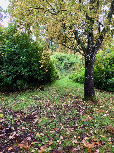
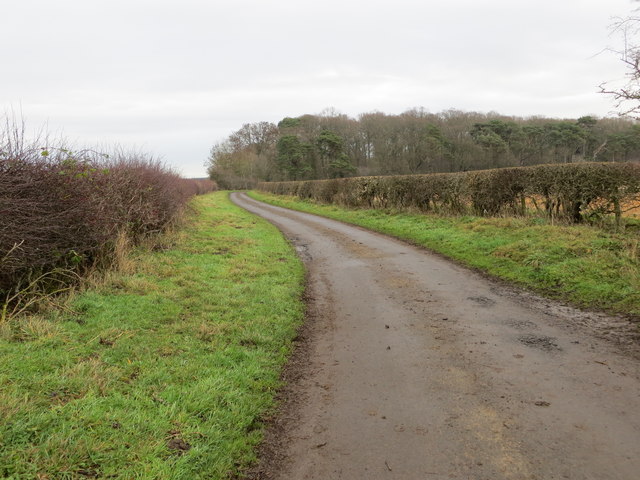
Wealth Hole is also renowned for its diverse bird population. The marsh serves as a nesting ground for numerous species, including herons, grebes, and kingfishers. Furthermore, the surrounding woodlands attract various woodland birds such as song thrushes and woodpeckers.
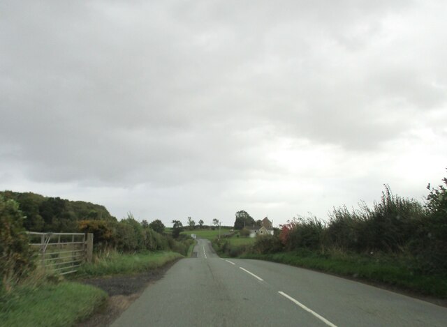
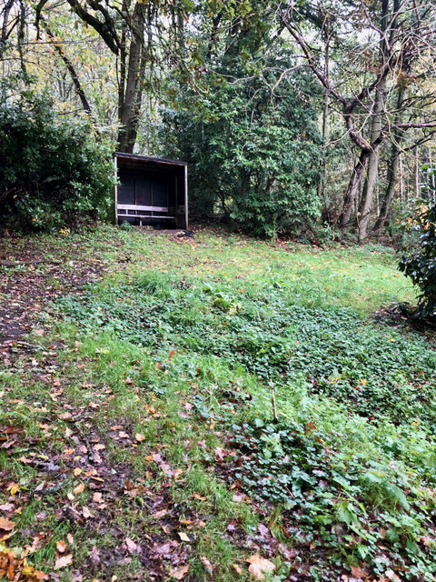
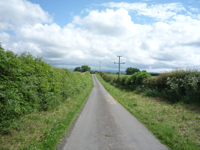
The marsh is easily accessible via a well-maintained footpath, allowing visitors to explore the area and immerse themselves in the natural beauty that Wealth Hole has to offer. Whether it is a leisurely walk around the lake or a peaceful picnic by the water's edge, this hidden gem in Northumberland provides a serene and picturesque setting for all nature lovers to enjoy.
If you have any feedback on the listing, please let us know in the comments section below.
Wealth Hole Images
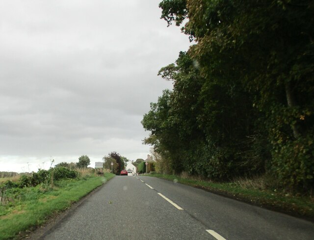
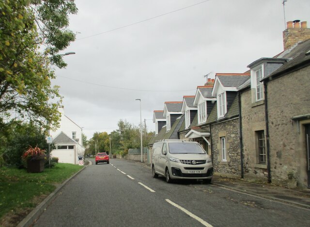
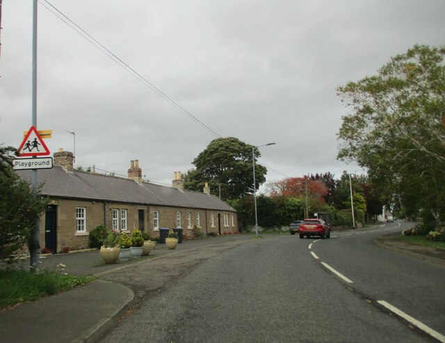
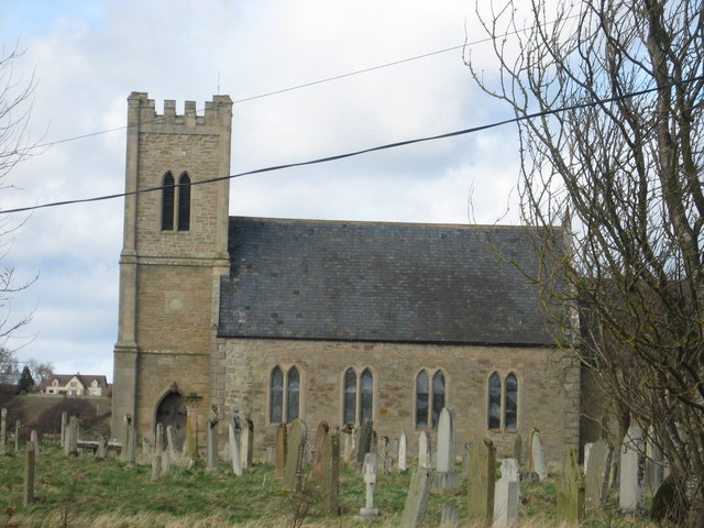
Images are sourced within 2km of 55.644848/-2.3129209 or Grid Reference NT8039. Thanks to Geograph Open Source API. All images are credited.


Wealth Hole is located at Grid Ref: NT8039 (Lat: 55.644848, Lng: -2.3129209)
Unitary Authority: Northumberland
Police Authority: Northumbria
What 3 Words
///promotion.tutorial.signal. Near Coldstream, Scottish Borders
Nearby Locations
Related Wikis

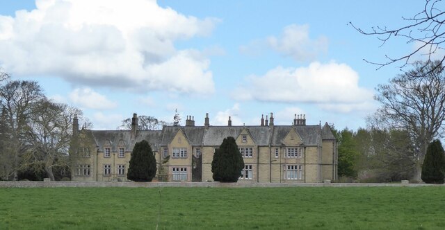
Carham Hall
Carham Hall is a grade II listed building near Carham in Northumberland, England. The site, on the Scottish border, was previously occupied by a medieval...
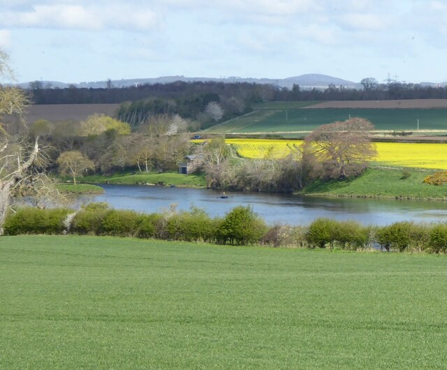
Carham
Carham or Carham on Tweed is a village in Northumberland, England. The village lies on the south side of the River Tweed about 3 miles (5 km) west of Coldstream...

Battle of Carham
The Battle of Carham was fought between the English ruler of Bamburgh and the king of Scotland in alliance with the Cumbrians. The encounter took place...

Birgham
Birgham is a village in Berwickshire, parish of Eccles in the Scottish Borders area of Scotland, near Coldstream and the River Tweed, on the A698....
Nearby Amenities
Located within 500m of 55.644848,-2.3129209Have you been to Wealth Hole?
Leave your review of Wealth Hole below (or comments, questions and feedback).